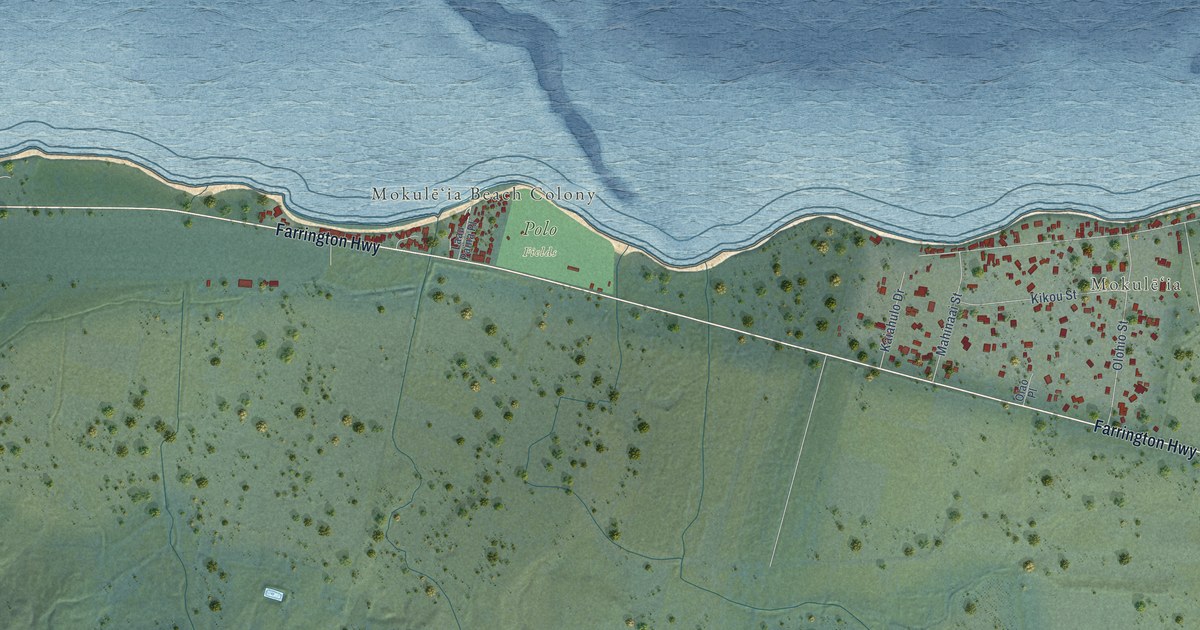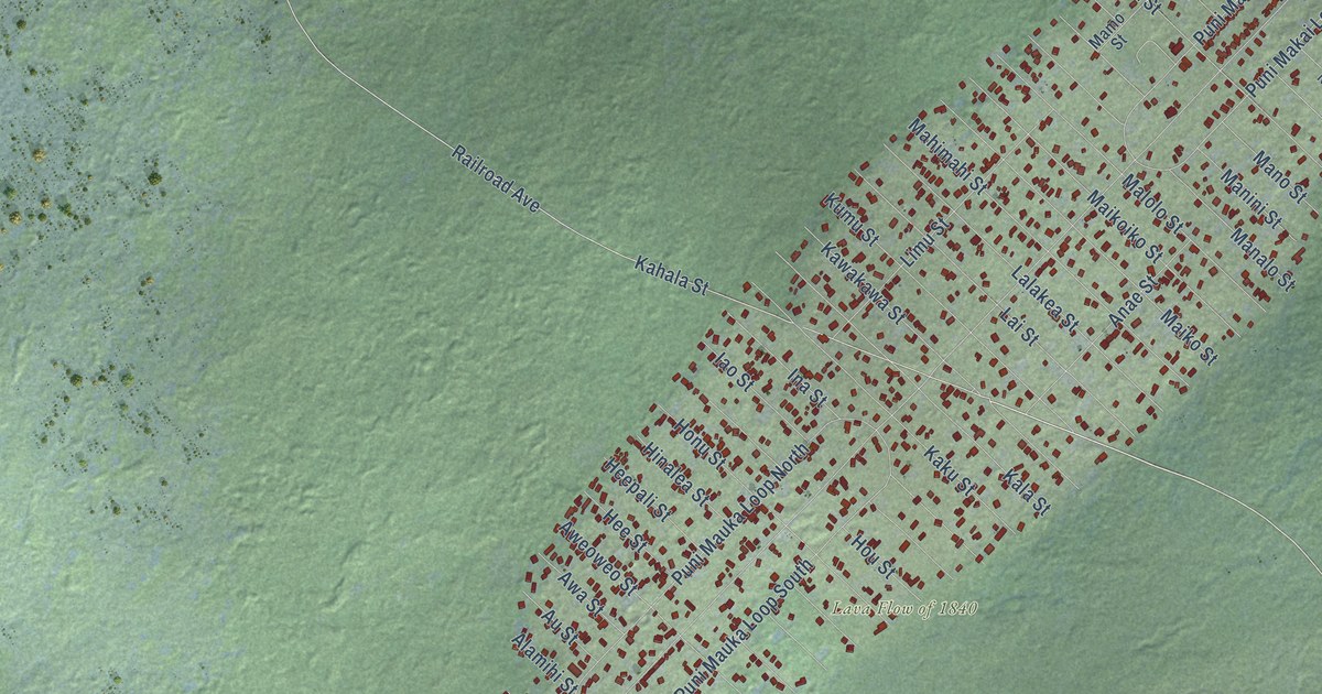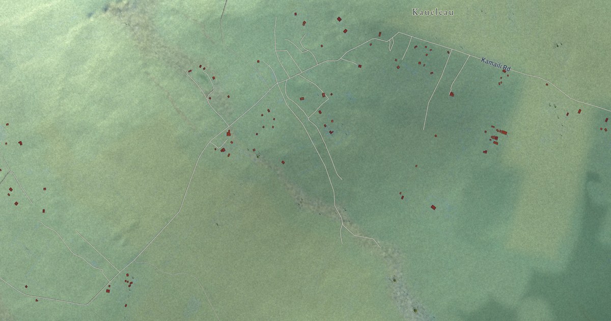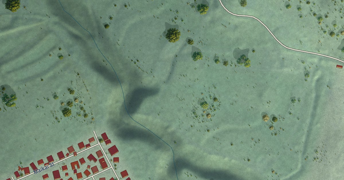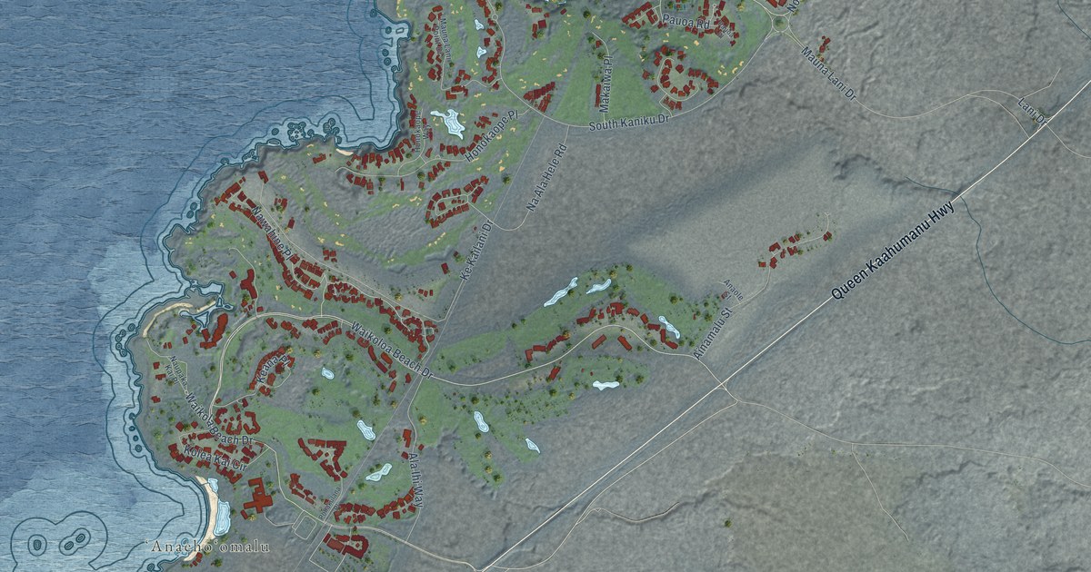
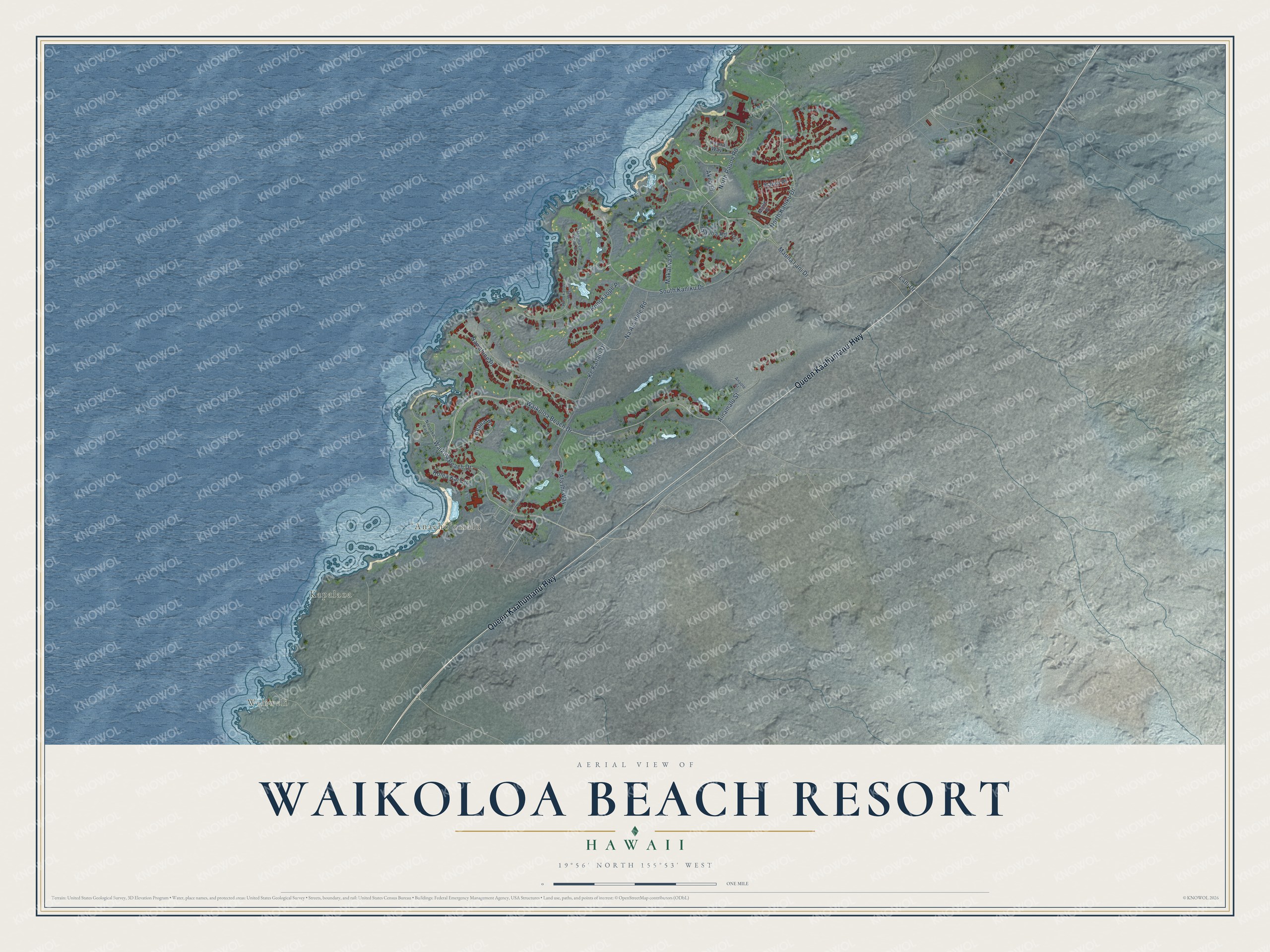
This beautifully detailed map of Waikoloa Beach Resort, Hawaii was created in 2026 using aerial imagery combined with modern topographical, census, street and landmark data. It's a modern aerial view of Waikoloa Beach Resort in Hawaii County, Hawaii, that combines modern data with a vintage aesthetic. The roads feature printed names, and if you look closely you can find your exact house accurately shown in its correct location.
Explore an aerial view of Waikoloa Beach Resort, Hawaii
On this map you'll find Weliweli, Kapalaoa, ʻAnaehoʻomalu, Queen Kaahumanu Highway, Waikoloa Beach Drive, Mauna Lani Drive, Pauoa Road, North Kaniku Drive, Nawahine Place, North Pauoa Road, Na Ala Hele Road, South Kaniku Drive, and more. Each red shape is a building, so zoom in on the preview and look for yours.
Here is a piece of Waikoloa Beach Resort history. The name Anaehoomalu tells its story. Anae means mullet and hoomalu means restricted, or kapu, so this was the place of restricted mullet, where plentiful mullet were raised in fishponds under kapu for the alii alone. With its sandy beach, shady trees and ponds full of fish, it was a pleasant stop for royalty traveling around the island by double-hulled canoe. That's from the Waikoloa Beach Resort.
Waikoloa Beach Resort is a community in Hawaii County. The Census Bureau counted 757 people here in 2020.
Take a closer look at the Waikoloa Beach Resort map
Names on this map
These names are printed on this map.
Places: Weliweli, Kapalaoa and ʻAnaehoʻomalu.
Streets and roads: Queen Kaahumanu Highway, Waikoloa Beach Drive, Mauna Lani Drive, Pauoa Road, North Kaniku Drive, Nawahine Place, North Pauoa Road, Na Ala Hele Road, South Kaniku Drive, Ke Kailani Drive, Honokaope Place, Ainamalu Street.
More street names, A to Z
Akea Place, Ala Ihi Way, Anaole Street, Honokaope Way, Kahili Place, Keana Place, Kolea Kai Circle, Lani Drive, Maile Place, Makaiwa Place, Mauna Lani Point Drive, Naupaka Kai Place, Pauoa Place, Pauoa Way, Pohakulana Place, Waikola Beach Drive.
See it on a wall
The Waikoloa Beach Resort map as a framed print. Swipe for more.


Created by KNOWOL in 2026. The buildings are small red shapes, the roads carry their printed names, and shaded relief shows the shape of the land. The title panel reads "AERIAL VIEW OF WAIKOLOA BEACH RESORT, HAWAII" with 19°56' NORTH 155°53' WEST.
It suits a den, a classroom or a front hall, and it makes a gift for anyone with Waikoloa Beach Resort roots. Open the preview and find the block you know. See sizes and frames for the Waikoloa Beach Resort map.