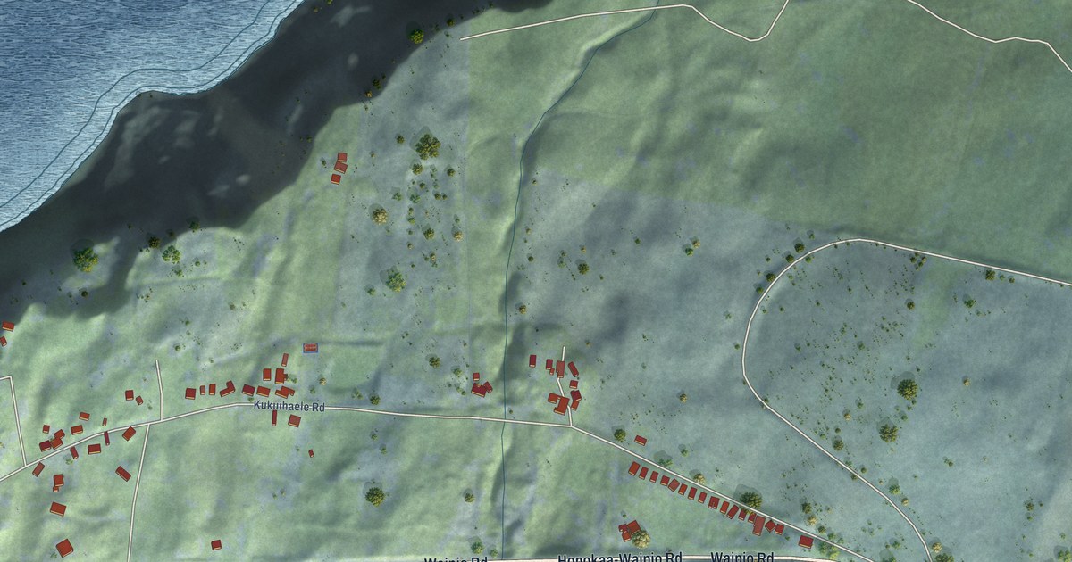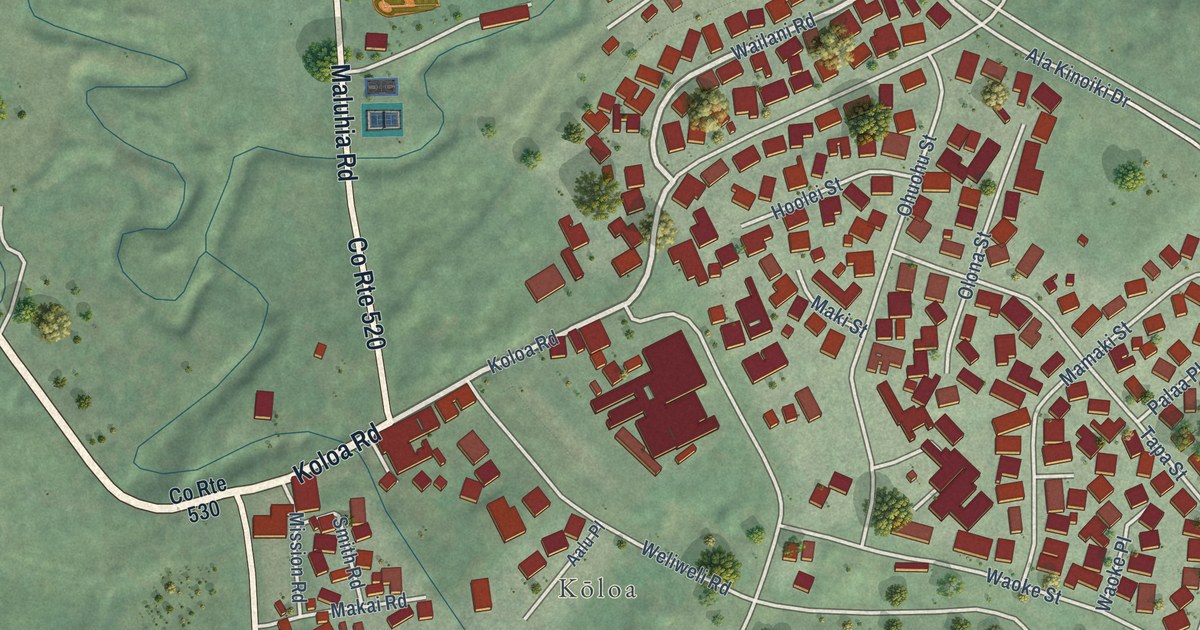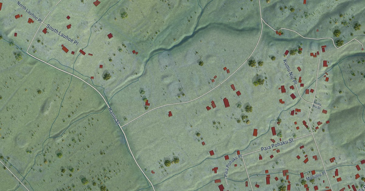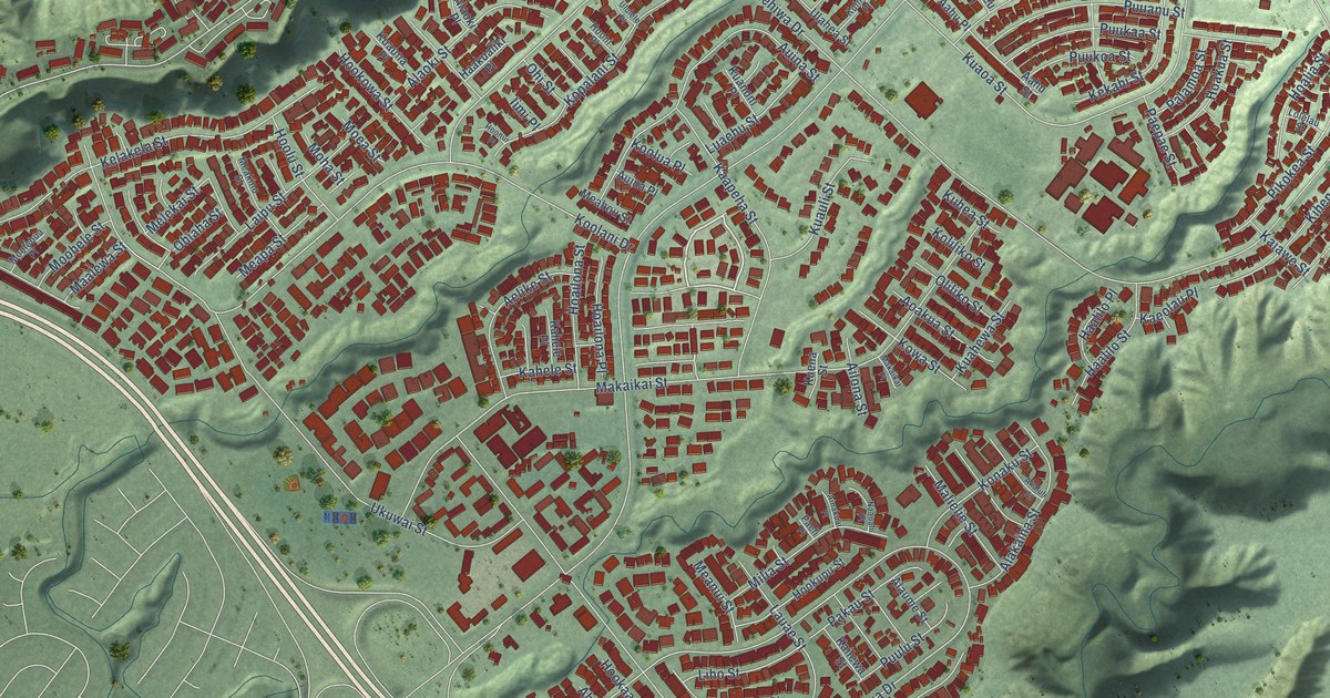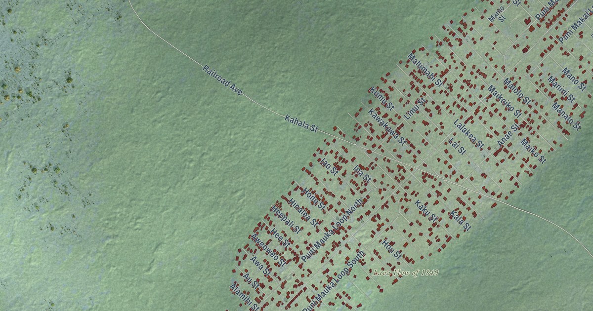
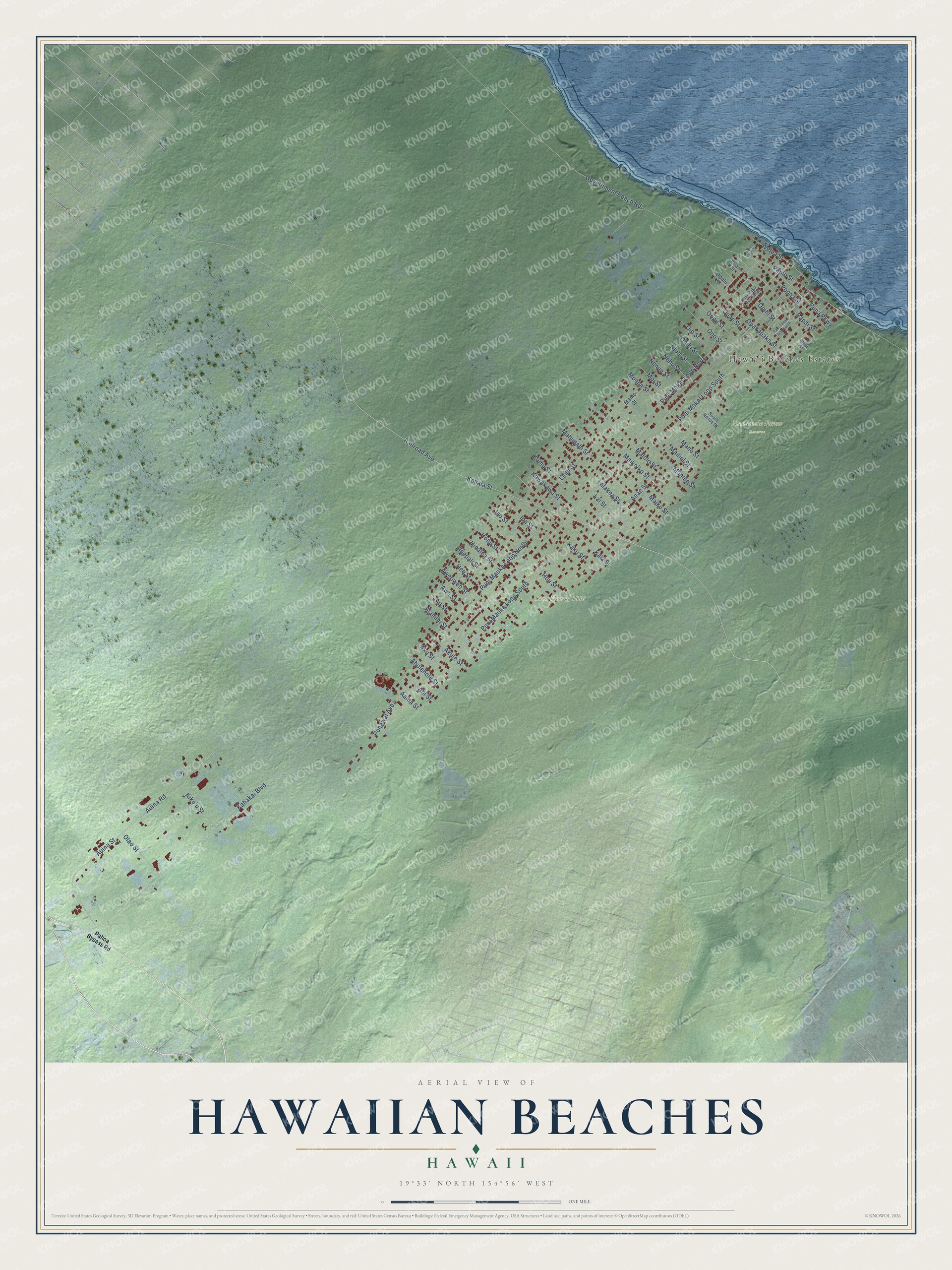
This beautifully detailed map of Hawaiian Beaches, Hawaii was created in 2026 using aerial imagery combined with modern topographical, census, street and landmark data. It's a modern aerial view of Hawaiian Beaches in Hawaii County, Hawaii, that combines modern data with a vintage aesthetic. The roads feature printed names, and if you look closely you can find your exact house accurately shown in its correct location.
Explore an aerial view of Hawaiian Beaches, Hawaii
On this map you'll find Hawaiʻi Beaches Estates, Lava Flow of 1840, Nanawale Forest Reserve, Railroad Avenue, Puna Parkway, Papio Street, Kahakai Boulevard, Kahala Street, Government Beach Road, Auina Road, Auina Street, Puni Mauka Loop South, and more. Each red shape is a building, so zoom in on the preview and look for yours.
Hawaiian Beaches is a community in Hawaii County. The Census Bureau counted 3,976 people here in 2020. Hawaiian Beaches sits about 3 miles northwest of Nanawale Estates, 4 miles north of Pahoa and 4 miles southeast of Hawaiian Paradise Park. The map prints the town name in its title panel, with the coordinates below it.
Take a closer look at the Hawaiian Beaches map
Names on this map
These names are printed on this map.
Places: Hawaiʻi Beaches Estates, Lava Flow of 1840 and Nanawale Forest Reserve.
Streets and roads: Railroad Avenue, Puna Parkway, Papio Street, Kahakai Boulevard, Kahala Street, Government Beach Road, Auina Road, Auina Street, Puni Mauka Loop South, Puni Mauka Loop North, Puni Makai Loop South, Puni Makai Loop North.
More street names, A to Z
Aama Street, Ahi Street, Aholehole Street, Akule Street, Aku Street, Alamihi Street, Alu Lepe Street, Anae Street, Au Street, Awa Street, Aweoweo Street, Heepali Street, Hee Street, Hinalea Street, Honu Street, Hou Street, Iao Street, Ina Street, Kaku Street, Kala Street, Kawakawa Street, Kiko'u Street, Kumu Street, Lai Street, Lalakea Street, Limu Street, Mahimahi Street, Maiii Street, Maikoiko Street, Maiko Street, Malolo Street, Mamo Street, Manalo Street, Manini Street, Mano Street, Moana Street, Moi Street, Nehu Street, Nenue Street, Niuhi Street, Ohiki Street, Oio Street, Olao Street, Ono Street, Oopu Street, Opae Street, Opakapaka Street, Opelu Street, Opihi Street, Pahoa Bypass Road, Palani Street, Papai Street, Popaa Street, Punawai Avenue, Puni Lanai Loop South, Puni Paka Loop North, South Nenue Street, Welea Street.
See it on a wall
The Hawaiian Beaches map as a framed print. Swipe for more.


Created by KNOWOL in 2026. The buildings are small red shapes, the roads carry their printed names, and shaded relief shows the shape of the land. The title panel reads "AERIAL VIEW OF HAWAIIAN BEACHES, HAWAII" with 19°33' NORTH 154°56' WEST.
It looks right in a kitchen, an office or a den, and it's a gift for anyone who grew up in Hawaiian Beaches or moved away. Open the preview and find your street. See sizes and frames for the Hawaiian Beaches map.