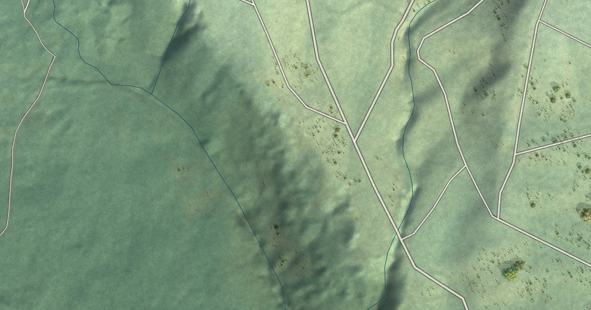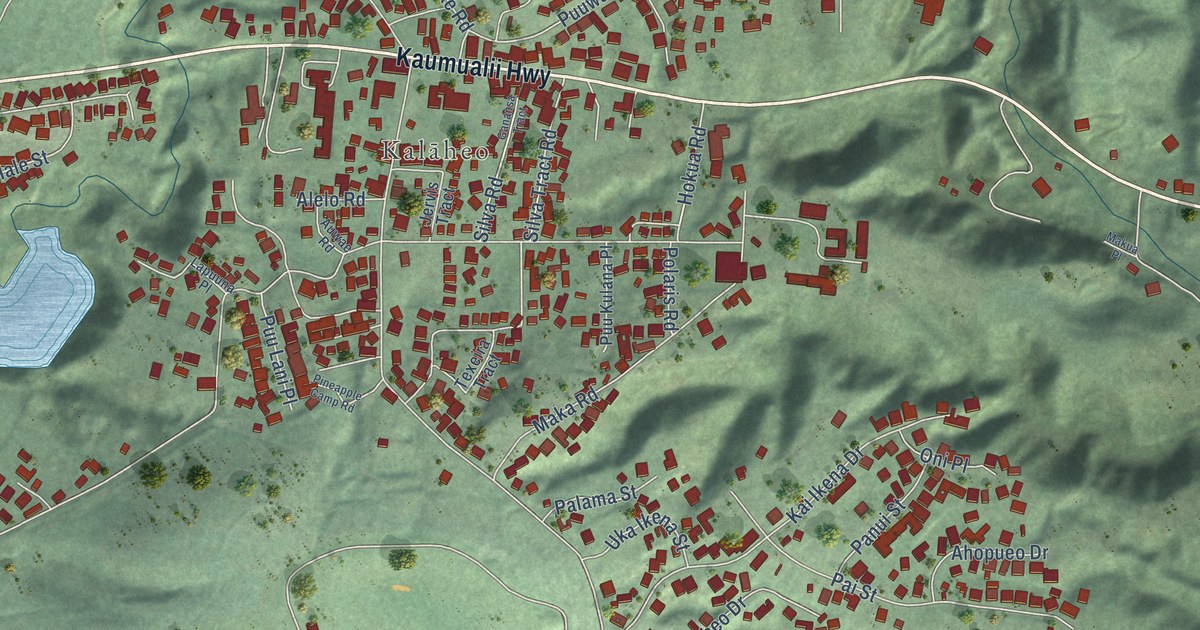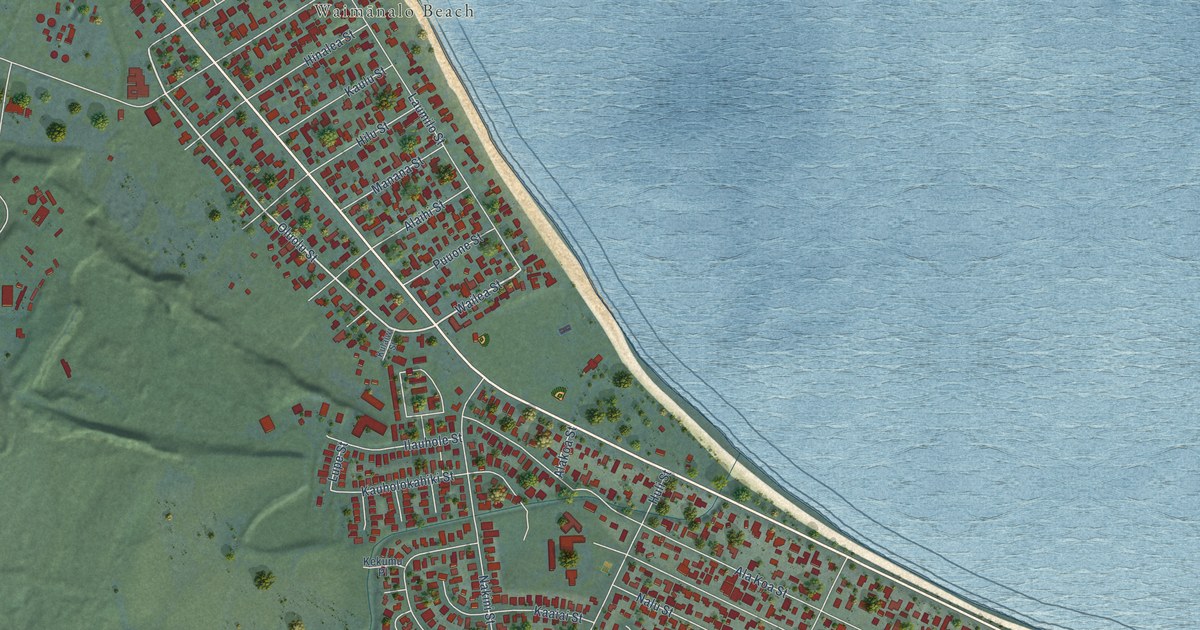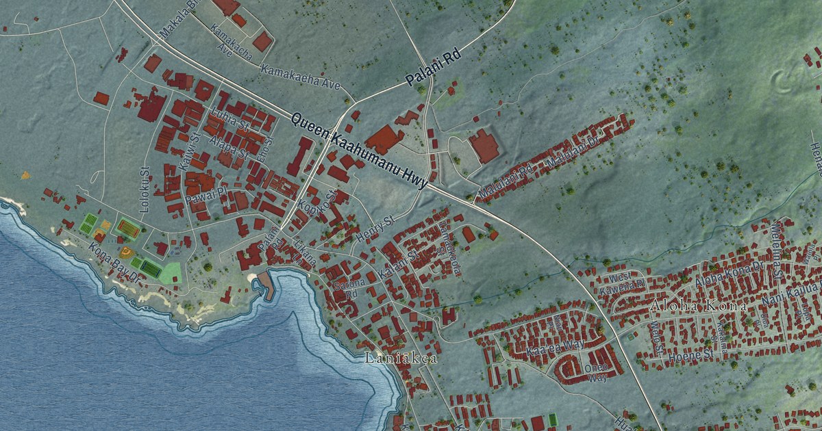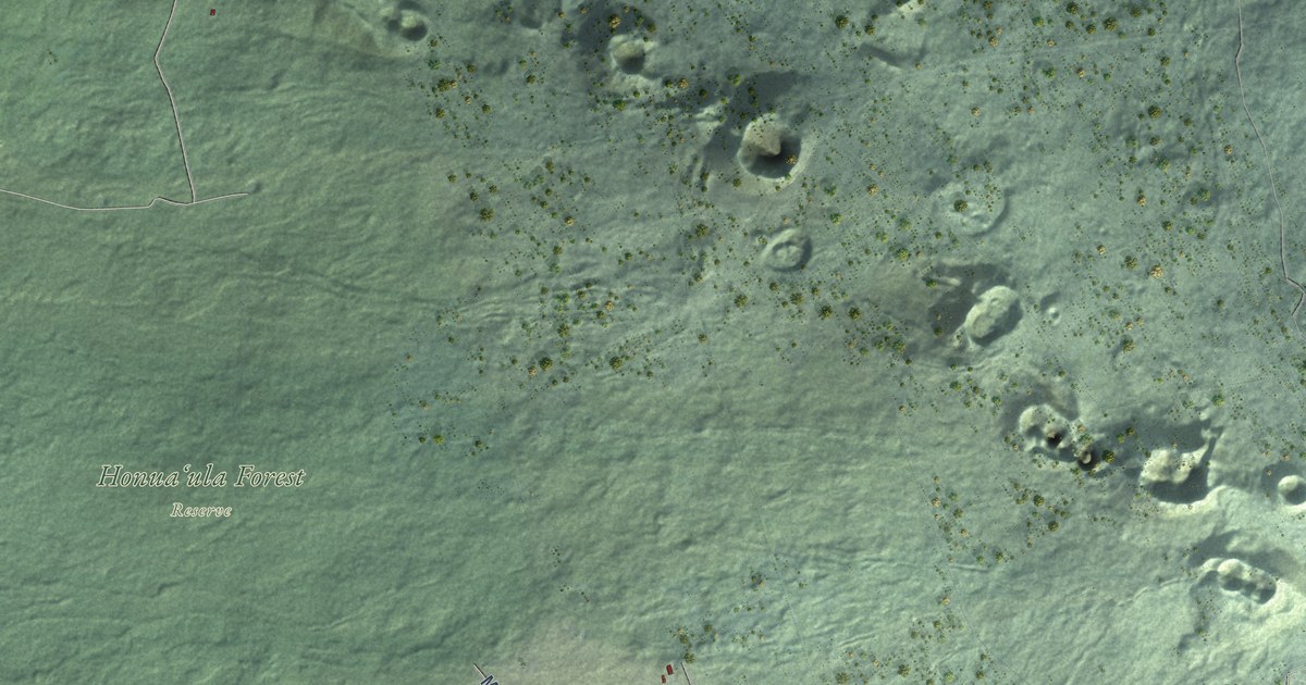
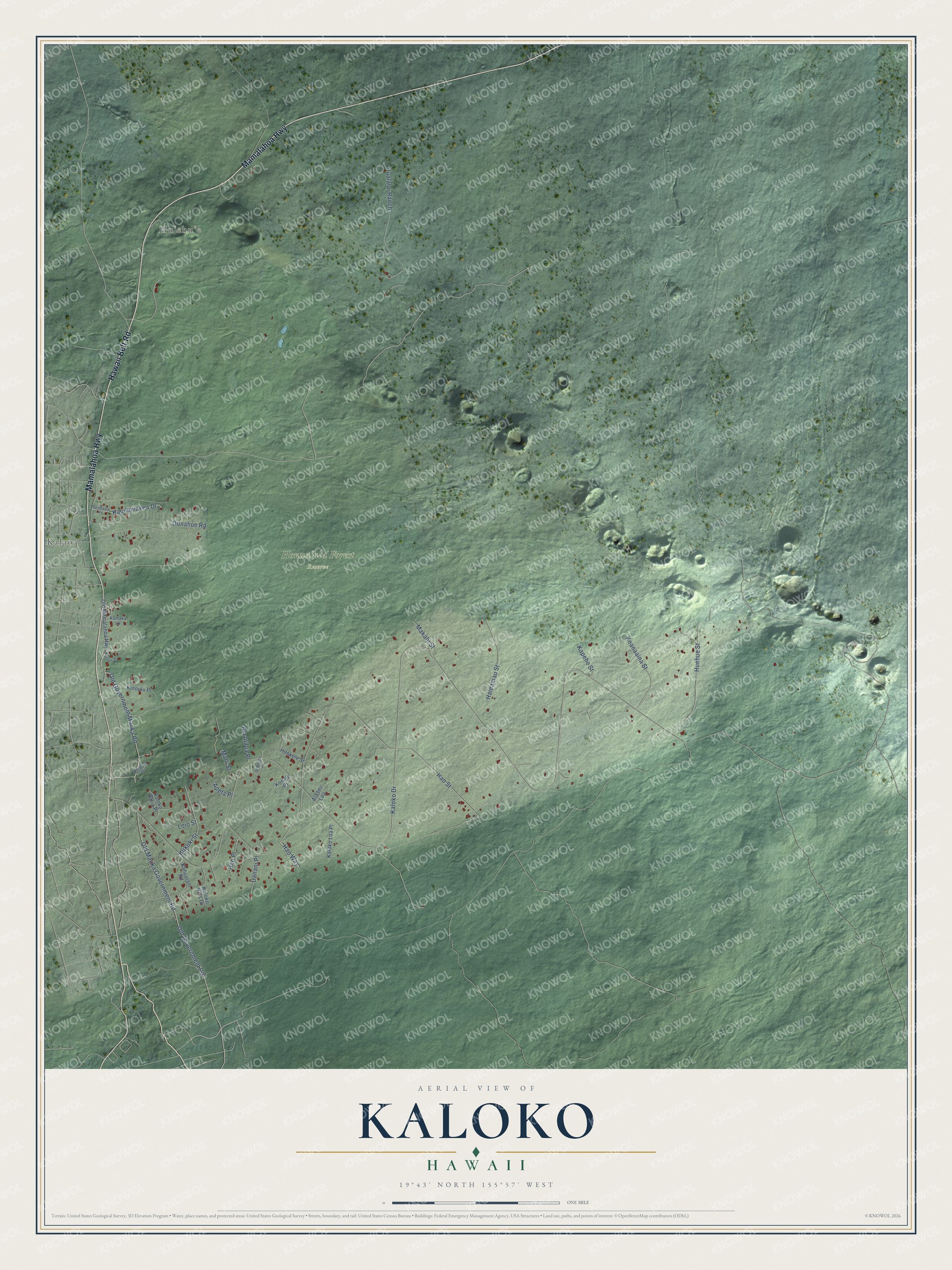
This beautifully detailed map of Kaloko, Hawaii was created in 2026 using aerial imagery combined with modern topographical, census, street and landmark data. It's a modern aerial view of Kaloko in Hawaii County, Hawaii, that combines modern data with a vintage aesthetic. The roads feature printed names, and if you look closely you can find your exact house accurately shown in its correct location.
Explore an aerial view of Kaloko, Hawaii
On this map you'll find Kalaoa, Honuaʻula Forest Reserve, Huʻehuʻe, Hawaii Belt Road, Mamalahoa Highway, Kaloko Drive, Hao Street, Old Mauka Government Road, Old Government Road, Old Government Mauka Road, Donahue Road, Huehue Street, and more. Each red shape is a building, so zoom in on the preview and look for yours.
Here is a piece of Kaloko history. After the Great Mahele of 1848, the land of Kaloko went to Lot Kamehameha, later King Kamehameha V. Princess Ruth Keelikolani acquired Kaloko in 1874 as his sole heir, and after her death it passed to Princess Bernice Pauahi Bishop. In 1906 John A. Maguire of Huehue Ranch obtained Kaloko. From the 1880s, settlement in Kaloko moved upland, where families could grow cash crops. Small coffee farms also grew around Kaloko and Honokohau. That's from the National Park Service.
Kaloko is a community in Hawaii County. The Census Bureau counted 1,314 people here in 2020.
Take a closer look at the Kaloko map
Names on this map
These names are printed on this map.
Places: Kalaoa, Honuaʻula Forest Reserve and Huʻehuʻe.
Streets and roads: Hawaii Belt Road, Mamalahoa Highway, Kaloko Drive, Hao Street, Old Mauka Government Road, Old Government Road, Old Government Mauka Road, Donahue Road, Huehue Street, Hualalai Ranch, Haleamau Street, Keanaaina Street.
More street names, A to Z
Ala Imi Loa, Ala Iniloa Place, Apela Place, Hao Place, Hao Way, Hookele Street, Kahualani Road, Kalaoa Street, Kaloko Halia Place, Kaloko Hills Drive, Kaloko Loa Place, Kamaka Lane, Kapehe Street, Kauilaniakea Drive, Kinoulu Place, Konale Place, Kukuki Street, Loio Street, Mahi Street, Makahi Street, Ohianani Place, Old Mamalahoa Highway, Onaona Drive, Punihaole Place, Uanani Place.
See it on a wall
The Kaloko map as a framed print. Swipe for more.


Created by KNOWOL in 2026. The buildings are small red shapes, the roads carry their printed names, and shaded relief shows the shape of the land. The title panel reads "AERIAL VIEW OF KALOKO, HAWAII" with 19°43' NORTH 155°57' WEST.
It suits a den, a classroom or a front hall, and it makes a gift for anyone with Kaloko roots. Open the preview and find the block you know. See sizes and frames for the Kaloko map.