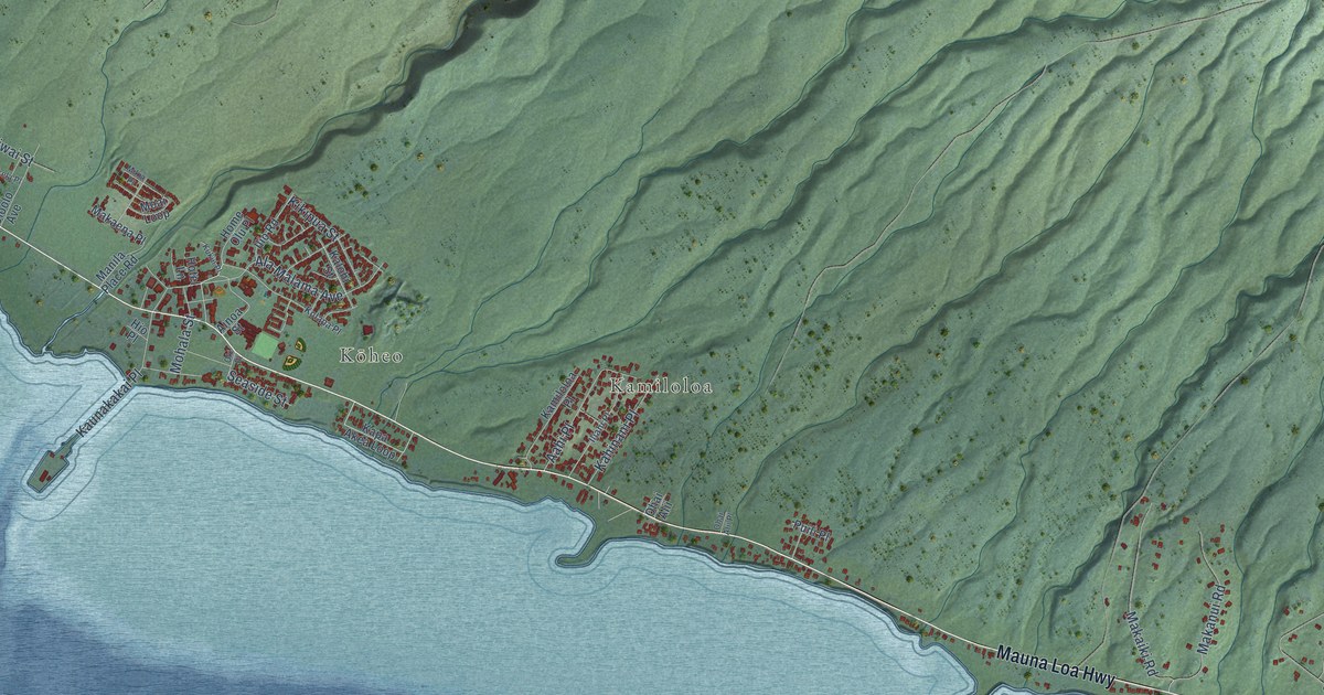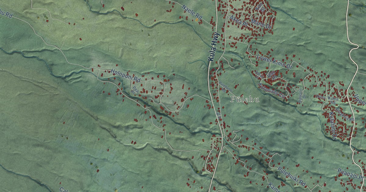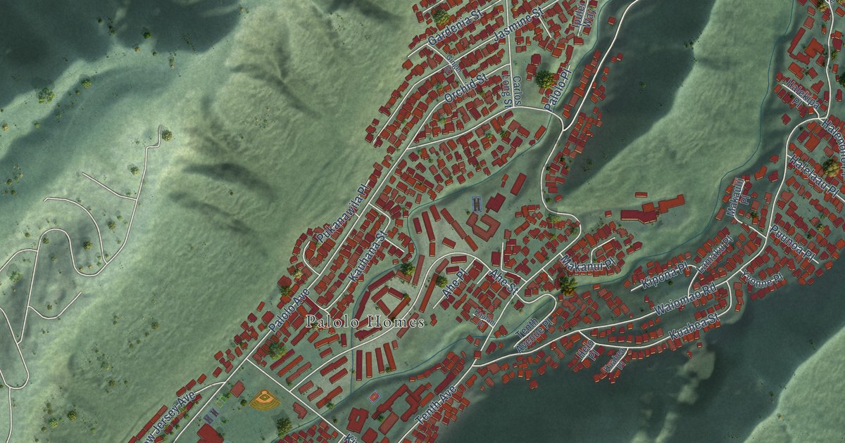
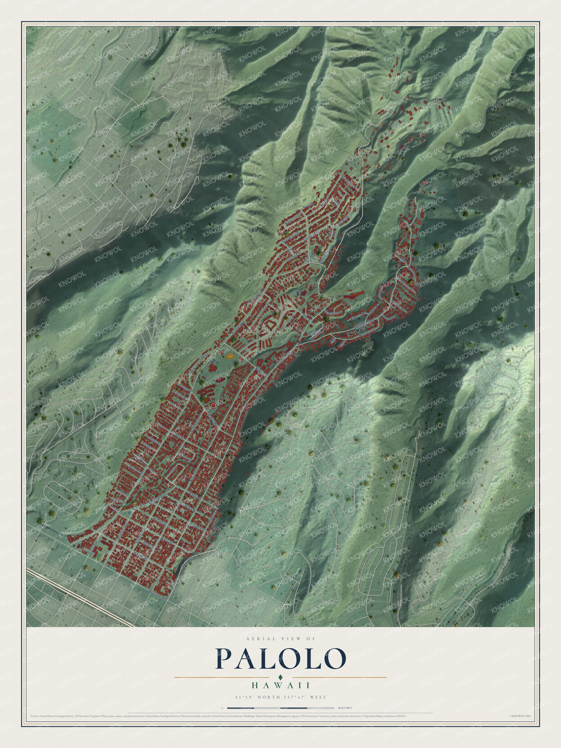
This beautifully detailed map of Palolo, Hawaii was created in 2026 using aerial imagery combined with modern topographical, census, street and landmark data. It’s a one-of-a-kind view of Palolo that combines accurate data with a vintage aesthetic. The map shows every building in its true location, many of the roads carry their names, and the shaded topographic relief shows the shape of the land.
Explore an aerial view of Palolo, Hawaii
On the map you’ll find Palolo Homes, along with Sierra Drive, Tenth Avenue, Palolo Avenue, Lai Road, Ninth Avenue, Waiomao Road, Waialae Avenue, Keanu Street, Gardenia Street, Ahe Street, Jasmine Street, and more. If you look closely you can even find your house accurately drawn in its correct location. Zoom in on the preview to look for yours.
Did You Know?
Palolo takes its name from the Hawaiian word for clay. The neighborhood fills an entire valley about four miles east of downtown Honolulu. Kaau Crater, a volcano that is no longer active, rises in the mountains at the far end of the valley.
Take a closer look at the Palolo map
Names on this map
These names are printed on this map.
Places: Palolo Homes.
Streets and roads: Sierra Drive, Tenth Avenue, Palolo Avenue, Lai Road, Ninth Avenue, Waiomao Road, Waialae Avenue, Keanu Street, Gardenia Street, Ahe Street, Jasmine Street, Eighth Avenue.
More street names, A to Z
Ahe Place, Ahinahina Place, Carlos Long Street, Ginger Street, Halekipa Place, Halelaau Place, Halenoho Place, Hardesty Street, Helo Place, Hinahina Street, Hoanoho Place, Holly Place, Ipulei Place, Ipulei Way, Kaalani Place, Kaau Street, Kalua Place, Kalua Road, Kauhana Street, Keaolele Place, Kehau Place, Kekona Place, Kikilia Place, Kilihune Place, Kipona Place, Kiwila Street, Kuahea Place, Kuahea Street, Kupaa Drive, Lamaku Place, Lamaloa Place, Loke Place, Magnolia Place, Mahana Street, Makanui Place, Makaulii Place, Maluhia Street, Maoi Place, Mokuna Place, Myrtle Street, Narcissus Place, Narcissus Street, New Jersey Avenue, Orchid Street, Paalea Street, Pakui Street, Palolo Place, Palolo Terrace Place, Pehu Street, Pukanawila Place, Pukele Avenue, Puunoa Place, Seventh Avenue, Sixth Avenue, Tenth Avenue Place, Ua Drive, Uilani Place, Vanda Place, Wiliama Place, Yvonne Place.
See it on a wall
The Palolo map as a framed print. Swipe for more.


This beautifully detailed map of Palolo makes an attractive addition to your office, library, or den, and it can even be used to teach children the geography and history of the area. It also makes a great gift for anyone with Palolo roots. When you’re done exploring, click here to get your copy of the Palolo map.