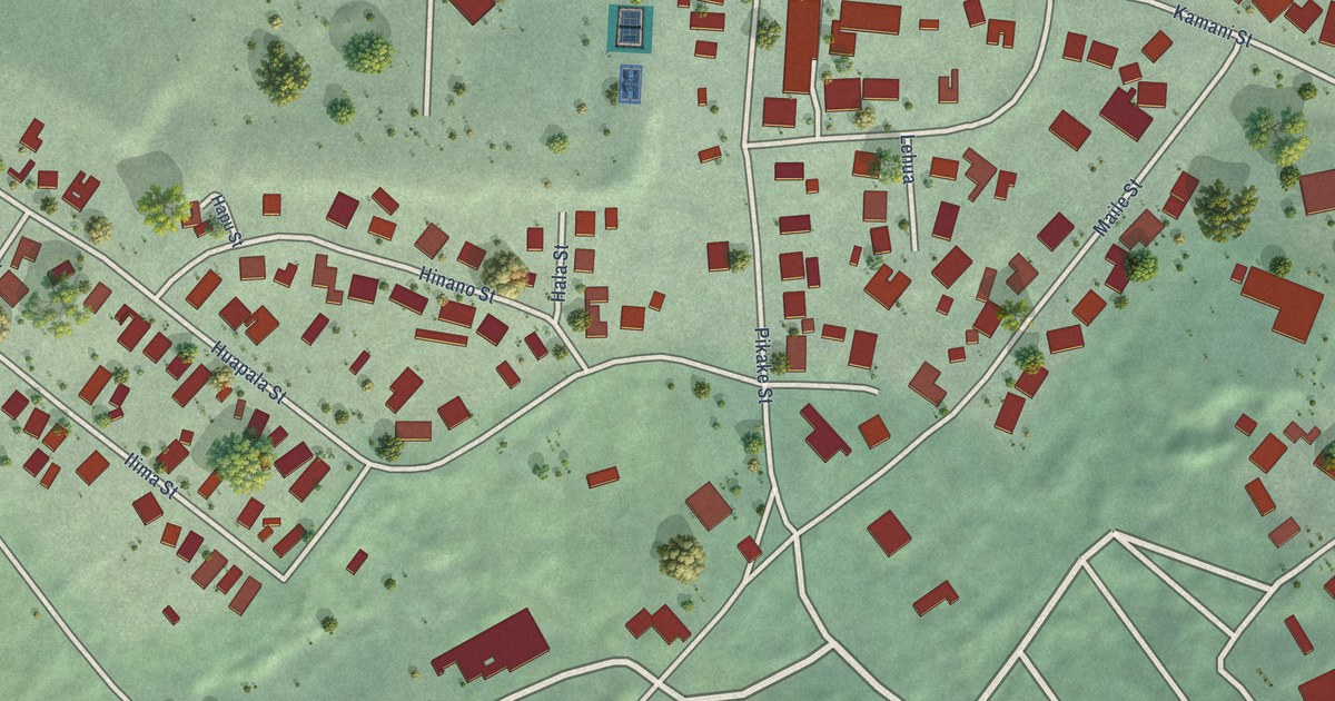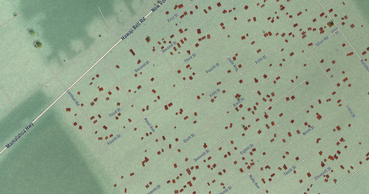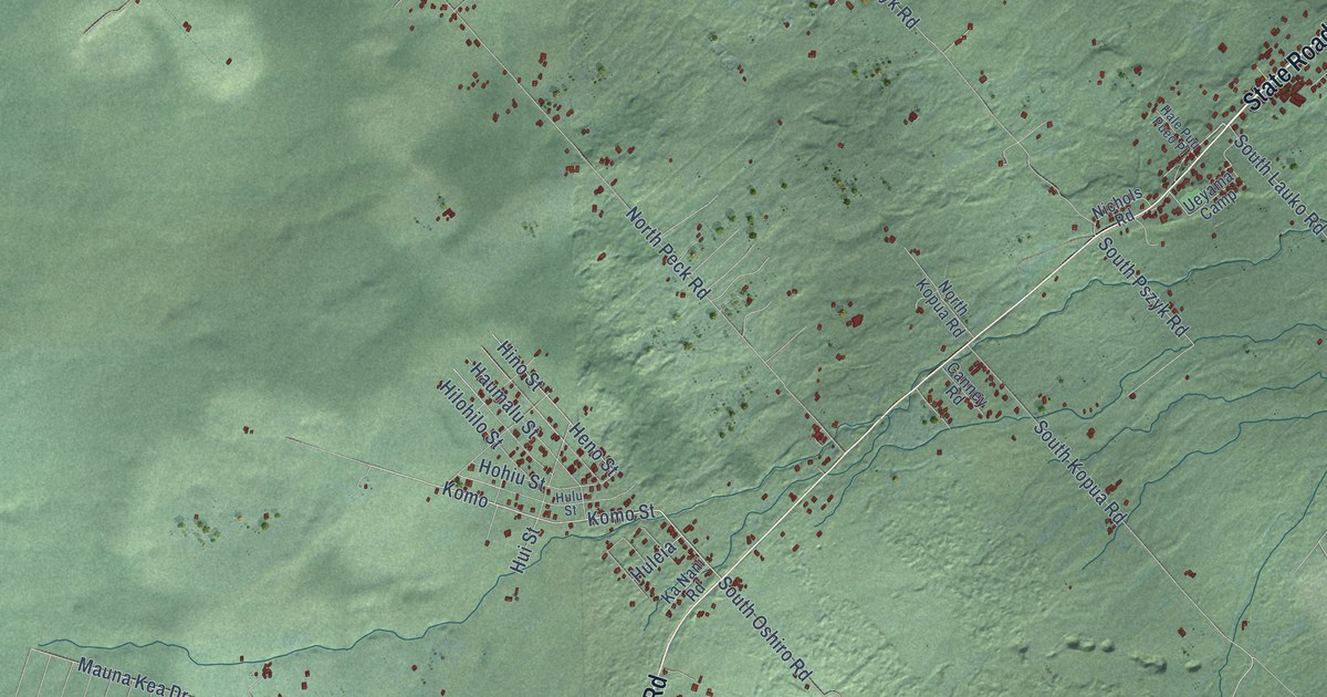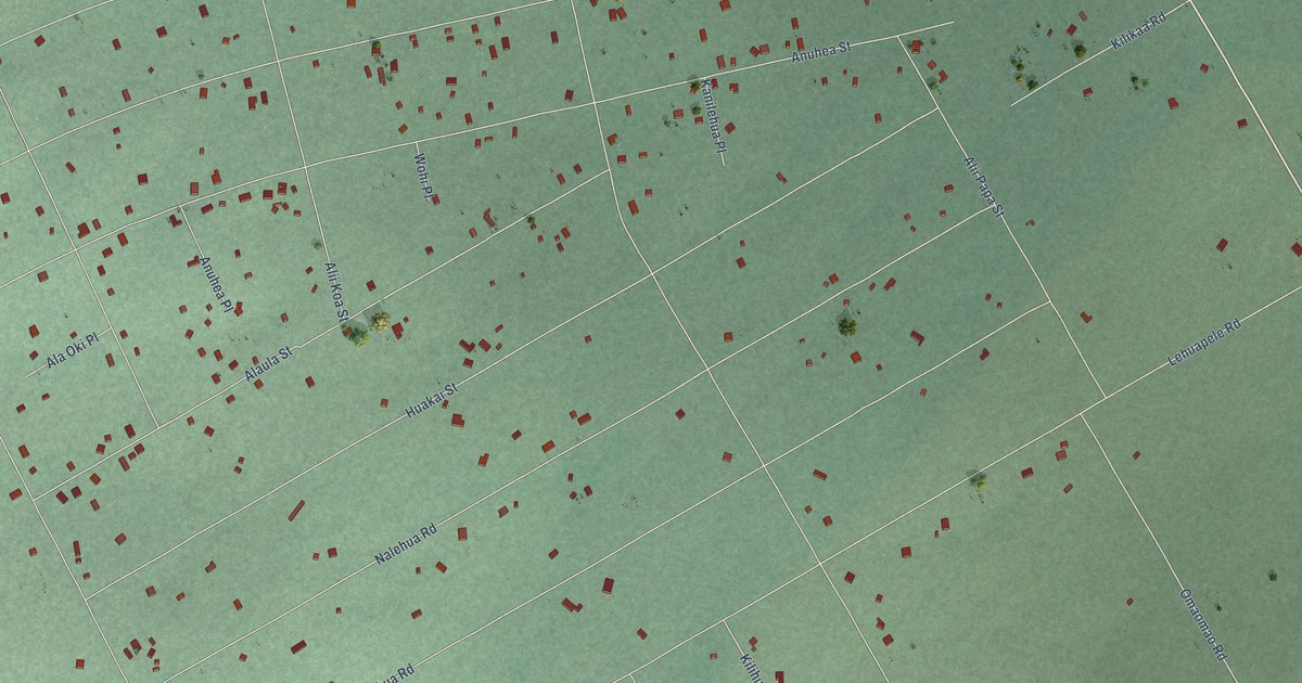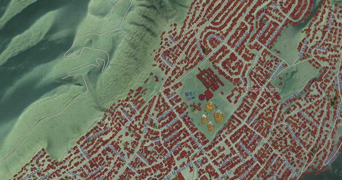
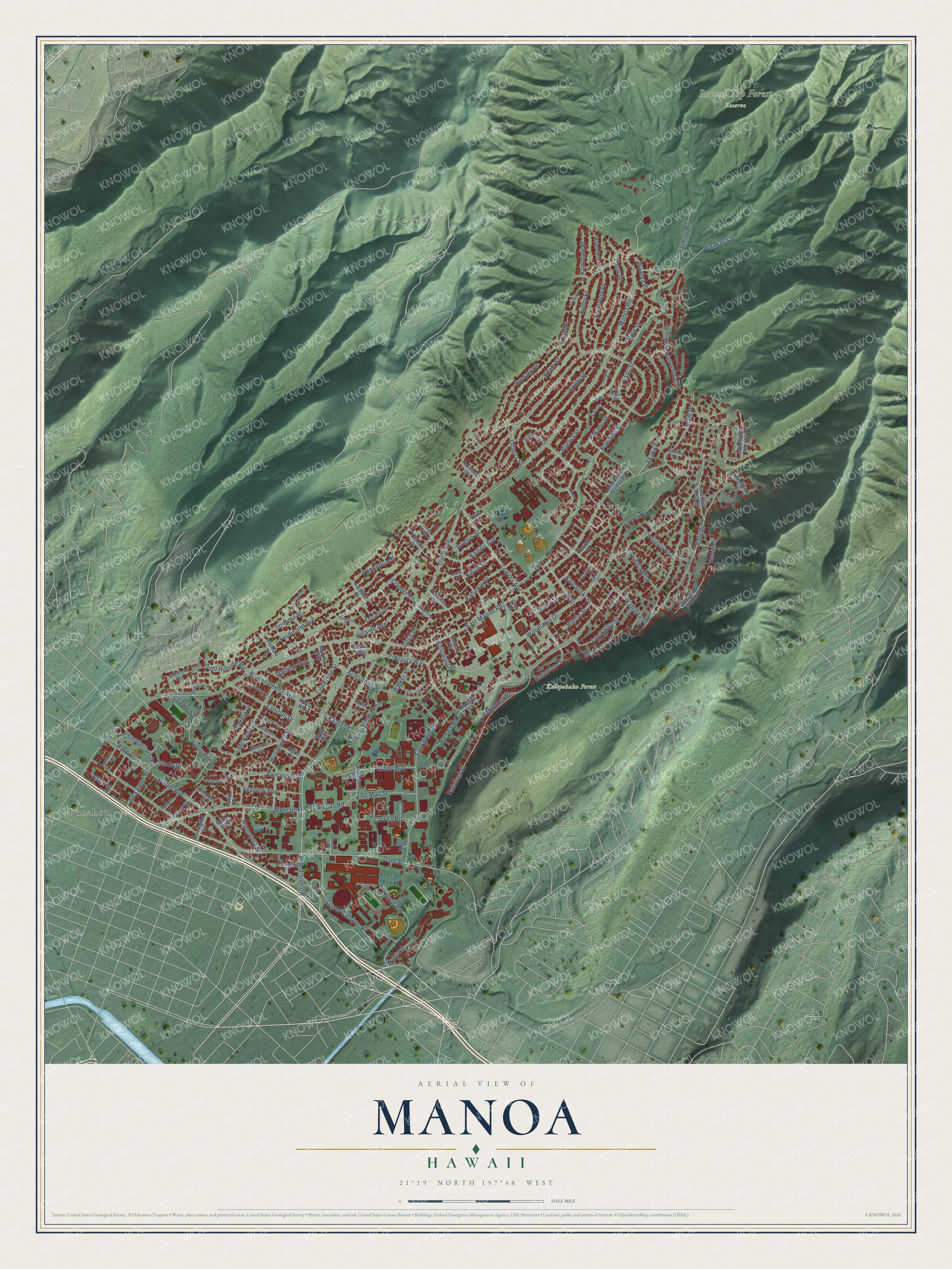
This beautifully detailed map of Manoa, Hawaii was created in 2026 using aerial imagery combined with modern topographical, census, street and landmark data. It’s a one-of-a-kind view of Manoa that combines accurate data with a vintage aesthetic. The map shows every building in its true location, many of the roads carry their names, and the shaded topographic relief shows the shape of the land.
Explore an aerial view of Manoa, Hawaii
On the map you’ll find Kalepohaku Forest, Round Top Forest Reserve, Punahou, Woodlawn, Loulu Place, and Waaloa Place, along with University Avenue, Alaula Way, Metcalf Street, Loulu Street, Alexander Street, Manoa Road, and more. If you look closely you can even find your house accurately drawn in its correct location. Zoom in on the preview to look for yours.
Did You Know?
From Towsend Griffiss’s 1930 When You Go to Hawaii You Will Need This Guide to the Islands: "The show spots for this popular tree are along Pensacola Street at the corner of Vancouver and Rocky STEPHANOTIS, WILIWILI 251 Hill in Manoa Valley, Captain Cook Avenue and Liholiho Street, and on School Street opposite the old Insane Asylum."
Manoa is a place in Honolulu County.
Take a closer look at the Manoa map
Names on this map
These names are printed on this map.
Places: Kalepohaku Forest, Round Top Forest Reserve, Punahou and Woodlawn.
Streets and roads: University Avenue, Alaula Way, Metcalf Street, Loulu Place, Loulu Street, Waaloa Place, Alexander Street, Manoa Road, Oahu Avenue, East Manoa Road, Woodlawn Drive, Dole Street.
More street names, A to Z
Ahualani Place, Akaka Place, Alani Drive, Alihilani Place, Anoai Place, Anuenue Street, Armstrong Street, Atherton Road, Awapuhi Street, Bachman Place, Beaumont Woods Place, Brown Way, Campus Road, Chamberlain Drive, Clark Street, Clement Street, Cooper Road, Correa Road, Damon Street, Donaghho Road, Doris Place, East West Road, Evelyn Lane, Farrington Road, Farrington Street, Ferdinand Avenue, Haena Drive, Halelani Drive, Halelea Place, Halelena Place, Hanupaoa Place, Haukulu Road, Hiehie Street, Hillside Avenue, Hipawai Place, Hoonanea Street, Huelani Drive, Huelani Place, Hunnewell Street, Hyde Street, Judd Hillside Road, Kaaipu Avenue, Kaala Street, Kaala Way, Kahaloa Drive, Kahawai Street, Kahiwa Place, Kakela Drive, Kalawao Place, Kalawao Street, Kalehua Street, Kalei Road, Kalele Road, Kaloaluiki Street, Kamehameha Avenue, Kanu Street, Keahi Place, Keahi Street, Keller Road, Keoni Street, Koaniani Way, Kolowalu Street, Komaia Drive, Kuahine Drive, Kumukoa Place, Kumukoa Street, Kumulani Place, Kumu Place, Kumu Street, Lanihuli Drive, Lanikaula Street, Lawa Place, Liloa Rise Street, Linohau Way, Lipioma Way, Loi Street, Lono Place, Loomis Street, Lower Campus Road, Lower Road, Lowrey Avenue, Maile Way, Malama Place, Mc Kinley Street, Melemele Place, Midpac School Road, Mohala Way, Momi Way, Nakiu Place, Nanihale Place, Nipo Street, Old East Manoa Road, Oliver Street, Olopua Street, One Street, Ono Road, Pakanu Place, Pakanu Street, Palm Drive, Pamoa Road, Parker Place, Paty Drive, Pawaina Street, Peneku Place, Pilikino Street, Pinao Street, Pinaoula Place, Pinaoula Street, Pipa Place, Piper's Pali, Poelua Place, Poelua Street, Pope Road, Puaena Place, Puhala Rise, Punahou Street, Puuhonua Street, Puu Nanea Place, Rainbow Drive, Seaview Avenue, Seaview Rise Street, Slade Drive, Sonoma Place, Sonoma Street, Spreckels Street, Terrace Drive, The Mall Street, Track Driveway, Vancouver Drive, Vancouver Place, Ventura Street, Vista Place, Waakaua Street, Waipuna Rise, Walu Way, Wilder Avenue, Woodlawn Terrace Place, Woolsey Place.
See it on a wall
The Manoa map as a framed print. Swipe for more.


This beautifully detailed map of Manoa makes an attractive addition to your office, library, or den, and it can even be used to teach children the geography and history of the area. It also makes a great gift for someone who left Manoa and still calls it home. When you’re done exploring, click here to get your copy of the Manoa map.