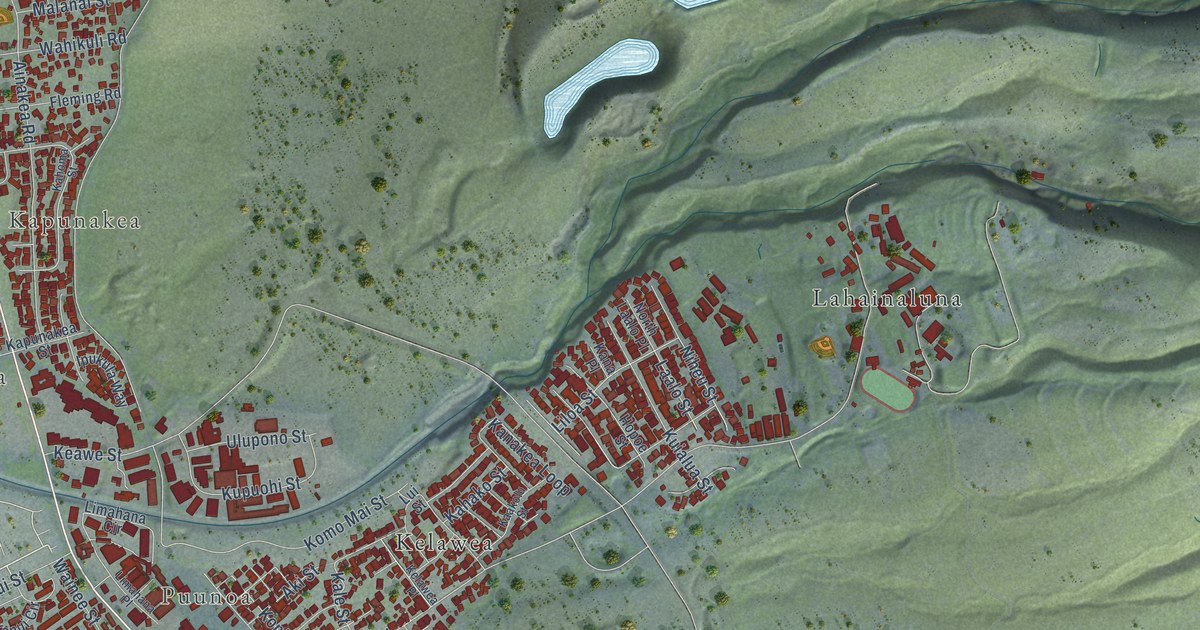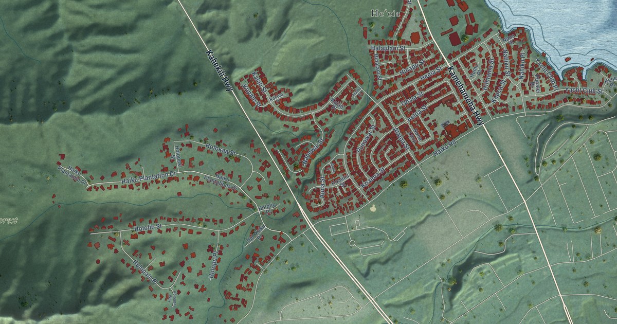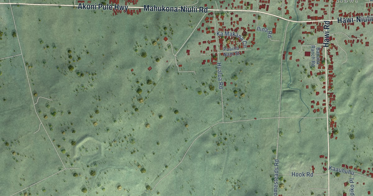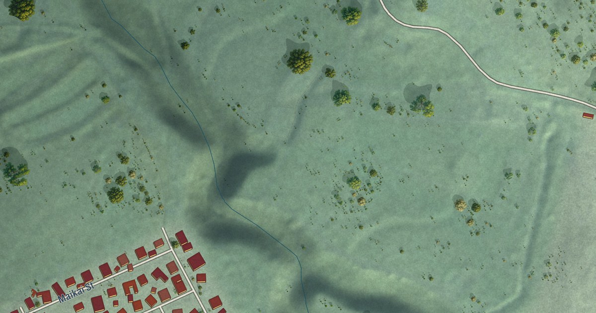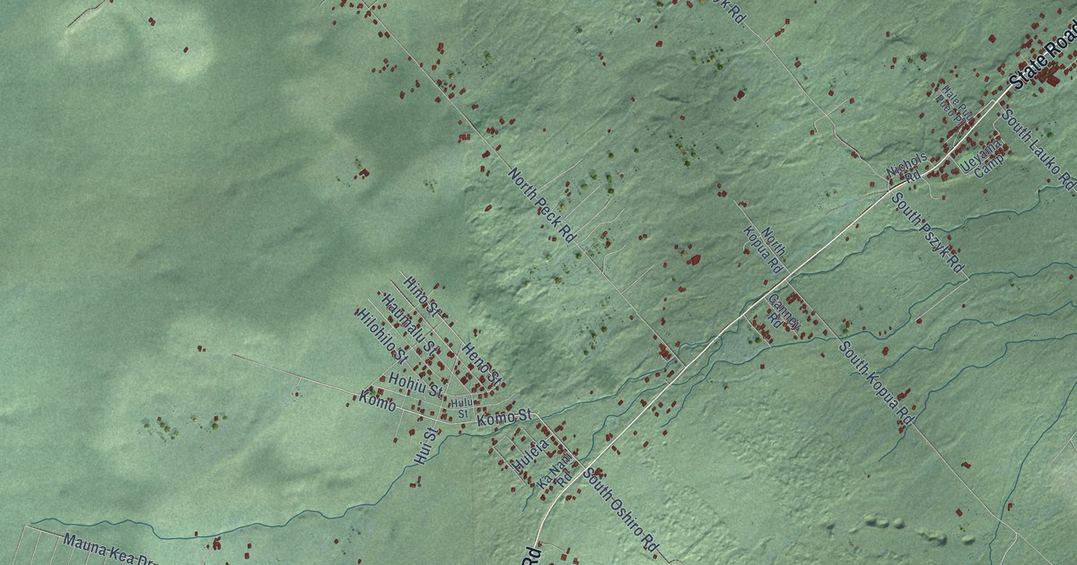
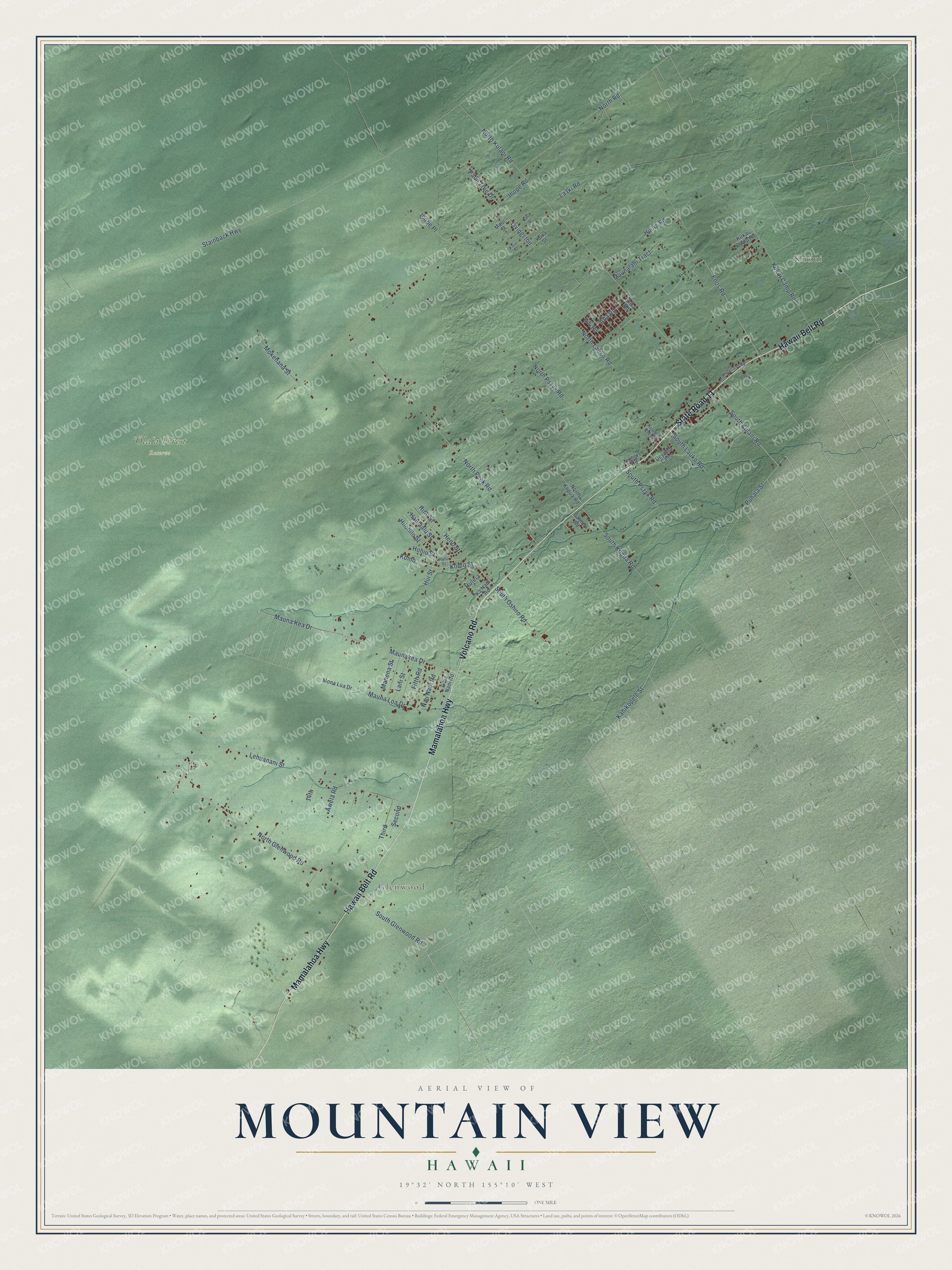
This beautifully detailed map of Mountain View, Hawaii was created in 2026 using aerial imagery combined with modern topographical, census, street and landmark data. It's a modern aerial view of Mountain View in Hawaii County, Hawaii, that combines modern data with a vintage aesthetic. The roads feature printed names, and if you look closely you can find your exact house accurately shown in its correct location.
Explore an aerial view of Mountain View, Hawaii
On this map you'll find Kukui, Glenwood, ʻŌlaʻa Forest Reserve, State Road 11, Hawaii Belt Road, Mamalahoa Highway, Volcano Road, South Kulani Road, Komo, Komo Street, North Glenwood Road, Kahikopele Street, and more. Each red shape is a building, so zoom in on the preview and look for yours.
Every town has a first chapter, and Mountain View is no exception. The book Place Names of Hawaii gives Maunahuʻihuʻi as the old name of Mountain View, and the Atlas of Hawaiʻi shows Mauna Huʻihuʻi as another name for the town. The village itself lies in the ahupuaʻa of ʻŌlaʻa. The name ʻŌlaʻa lives on in the nearby forest reserve and the reservation homesteads. That's from the Hawaii Board on Geographic Names.
Mountain View is a community in Hawaii County. The Census Bureau counted 4,215 people here in 2020.
Take a closer look at the Mountain View map
Names on this map
These names are printed on this map.
Places: Kukui, Glenwood and ʻŌlaʻa Forest Reserve.
Streets and roads: State Road 11, Hawaii Belt Road, Mamalahoa Highway, Volcano Road, South Kulani Road, Komo, Komo Street, North Glenwood Road, Kahikopele Street, Enos Road, South Glenwood Road, North Lauko Road.
More street names, A to Z
14th, Ana Road, Awela Road, Canney Road, Ekika Road, Fifth Road, Hale Puu Pueo Place, Haumalu Street, Heno Street, Hilohilo Street, Hino Street, Hohiu Street, Huina Road, Hui Street, Huleia, Hulu Street, Ihope Place, Ihope Road, Ka Nani Road, Kauai Street, Kini Road, Kona Street, Kukai Camp Road, Kukui Camp Road, La Iki Road, Lani Street, Lehuanani Street, Livingston, Mahena Street, Maui Street, Mauna Kea Drive, Maunakea Drive, Maunalani Tract, Mauna Loa Drive, Mokehana Street, Mona Lua Drive, Nau Nani Road, Nichols Road, North Kopua Road, North Kulani Road, North Peck Road, North Pszyk Road, North Road, Oahu Street, Ohia Nani Road, Old Volcano Road, Palm Tree Drive, Puhala Street, Second, South Kopua Road, South Lauko Road, South Oshiro Road, South Pszyk Road, Stainback Highway, Third, Ueyama Camp.
See it on a wall
The Mountain View map as a framed print. Swipe for more.


Created by KNOWOL in 2026. The buildings are small red shapes, the roads carry their printed names, and shaded relief shows the shape of the land. The title panel reads "AERIAL VIEW OF MOUNTAIN VIEW, HAWAII" with 19°32' NORTH 155°10' WEST.
Hang it in the hallway, the office or the cabin, or give it to someone who left Mountain View and still calls it home. Open the preview and look for a street you know. See sizes and frames for the Mountain View map.