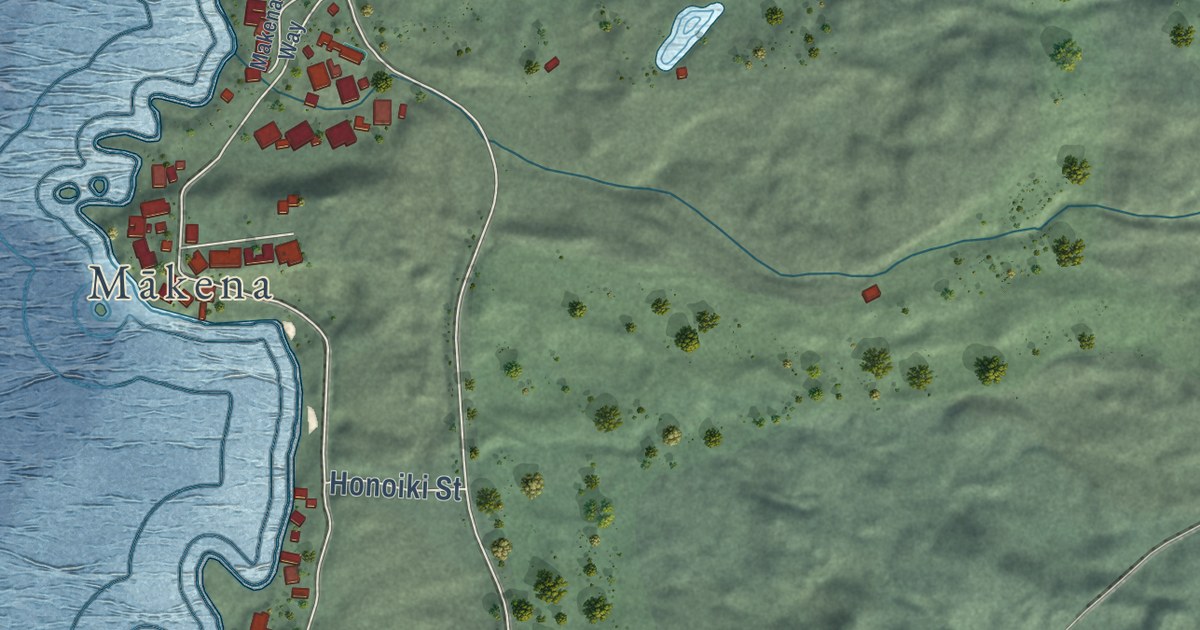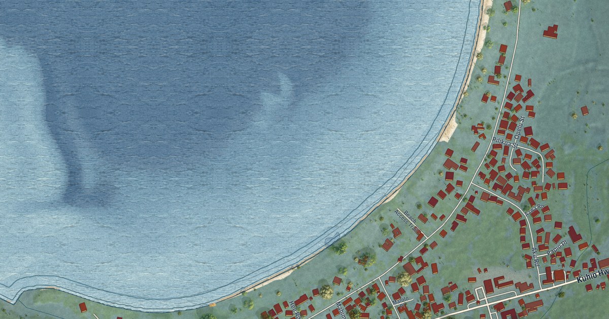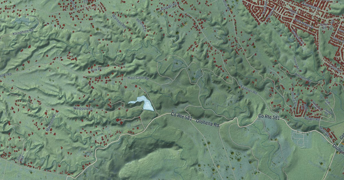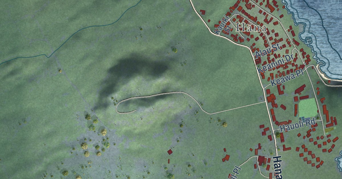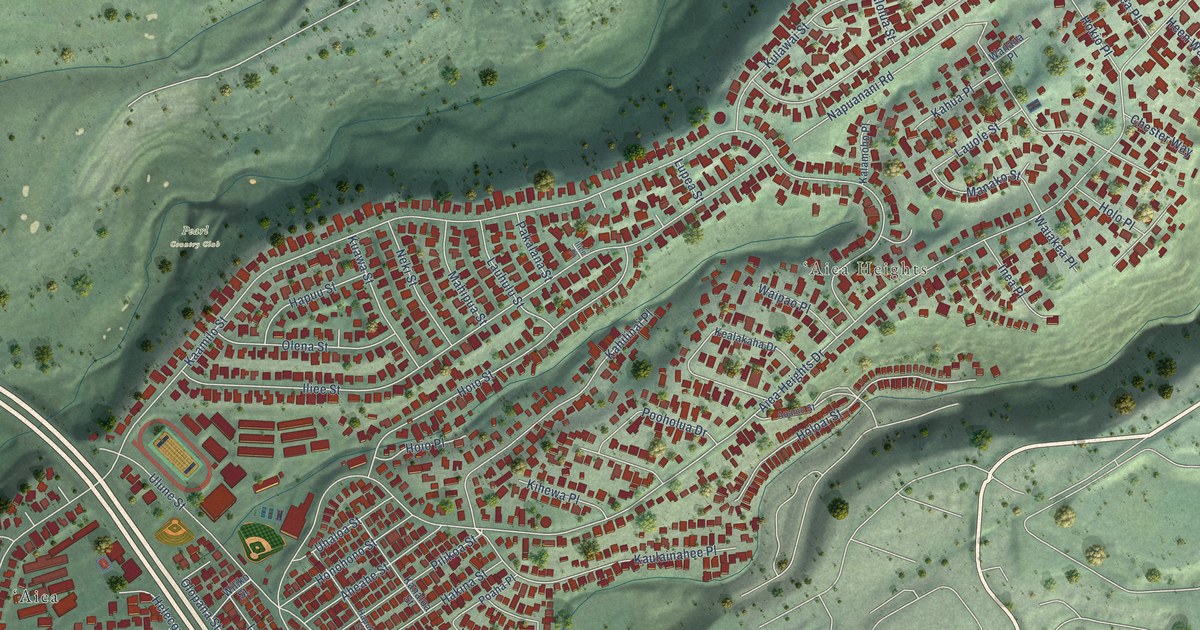
This beautifully detailed map of Aiea, Hawaii was created in 2026 using aerial imagery combined with modern topographical, census, street and landmark data. It’s a one-of-a-kind view of Aiea that combines accurate data with a vintage aesthetic. The map shows every building in its true location, many of the roads carry their names, and the shaded topographic relief shows the shape of the land.
Explore an aerial view of Aiea, Hawaii
On the map you’ll find ʻAiea Heights, Pearl Country Club, and Kaulainahee Place, along with Kamehameha Highway, Heen Way, McGrew Loop, Honu Loop, Aiea Heights Drive, Kaamilo Street, Iliee Street, Moanalua Road, and more. If you look closely you can even find your house accurately drawn in its correct location. Zoom in on the preview to look for yours.
Did you know this piece of Aiea, Hawaii history?
From Imagesofoldhawaii.com: "HSPA built its main experiment station and administrative facilities at Makiki (much of its former outplanting area is now the fields of the Makiki District Park;) in the early-1970s HSPA moved to a new facility in Aiea."
Take a closer look at the Aiea map
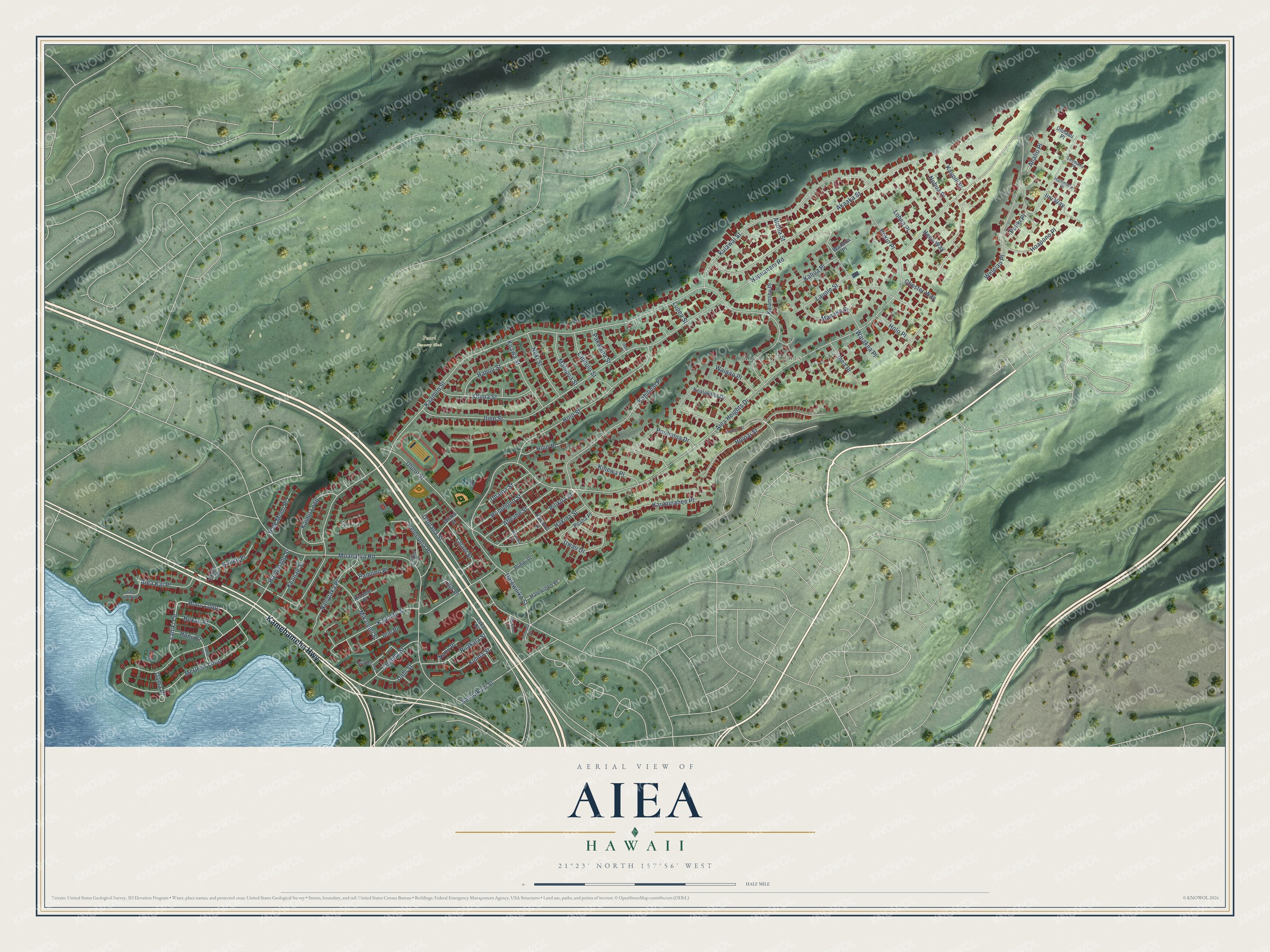
Street and place names on the Aiea, Hawaii map
These names are printed on the map of Aiea, Hawaii.
Places: ʻAiea Heights, Pearl Country Club and ʻAiea.
Streets and roads: Kamehameha Highway, Heen Way, McGrew Loop, Kaulainahee Place, Honu Loop, Aiea Heights Drive, Kaamilo Street, Iliee Street, Moanalua Road, Napuanani Road, Akaaka Street, Ulune Street.
More street names, A to Z
Aheahe Street, Aiea Kai Place, Aiea Kai Way, Alolua Street, Analio Place, Anounou Place, Auamo Street, Chester Way, Hailimanu Place, Hakina Street, Hale Momi Place, Halewiliko Place, Halewiliko Street, Hapuku Street, Hapuu Street, Hekau Street, Heleconia Place, Hoapono Place, Hoio Place, Hoio Street, Hokio Place, Holoai Street, Holo Place, Honohono Street, Honomanu Street, Honu Street, Ieie Place, Iini Way, Iliee Place, Inea Place, Kahilinai Place, Kahua Place, Kaimakani Street, Kaimu Loop, Kalamoho Place, Kalike Place, Kanaloa Street, Kauhale Street, Kaupili Place, Kealakaha Drive, Keanae Street, Kihale Street, Kihewa Place, Kinoole Place, Kuawa Street, Kulawai Street, Kulawea Street, Kulina Street, Lahiki Circle, Laka Place, Lalani Street, Lauhulu Street, Laulima Street, Lauole Street, Leho Place, Leomanu Place, Lilia Place, Lilikoi Place, Lohea Place, Lupea Street, Mahipua Street, Manako Street, Mikalemi Street, Nalopaka Place, Nanu Place, Neki Street, Nohua Place, Oama Place, Olena Street, Olopana Street, Pakalana Street, Pamoho Place, Pilikoa Street, Poaha Place, Pohai Place, Pooholua Drive, Puakala Street, Puliki Place, Uahi Street, Uhaloa Street, Ululaau Place, Upapalu Drive, Uwau Drive, Waiakea Place, Wailana Place, Waipao Place, Welelau Place, Wiliko Street.
See the Aiea, Hawaii map on a wall
The Aiea map as an 18 x 24 inch print in a black frame.

This beautifully detailed map of Aiea makes an attractive addition to your office, library, or den, and it can even be used to teach children the geography and history of the area. It also makes a great gift for anyone with Aiea roots. When you’re done exploring, click here to get your copy of the Aiea map.