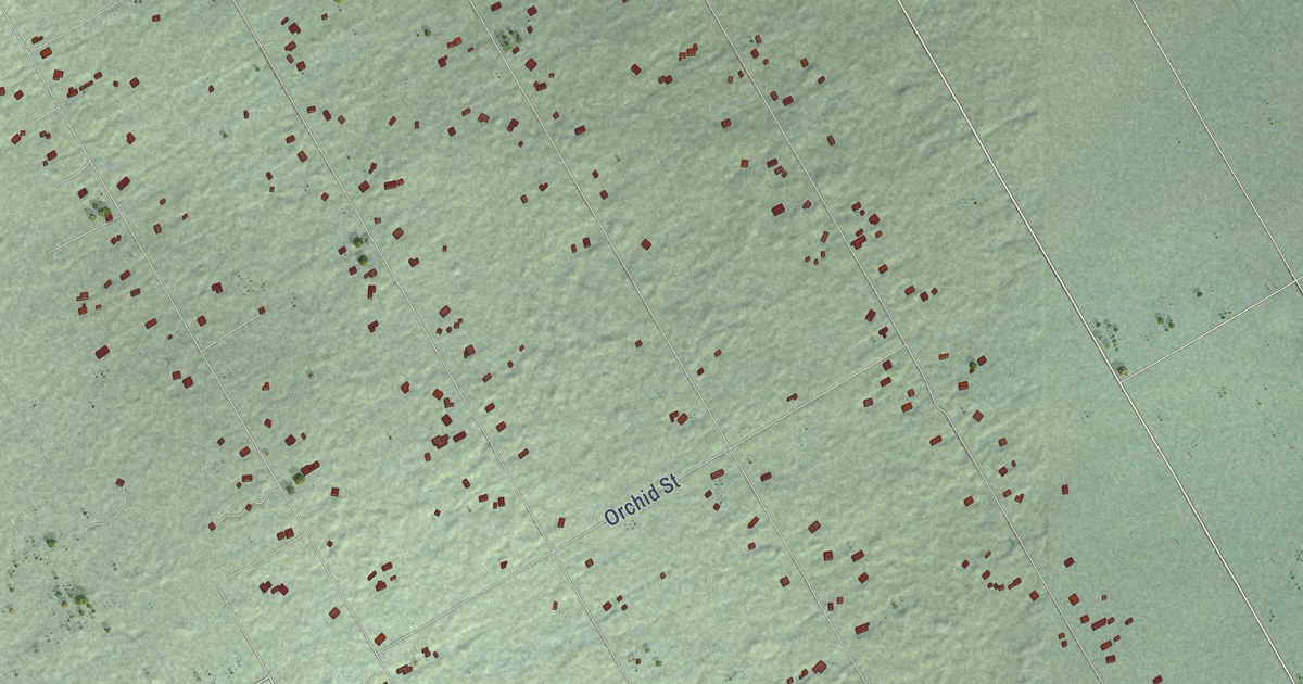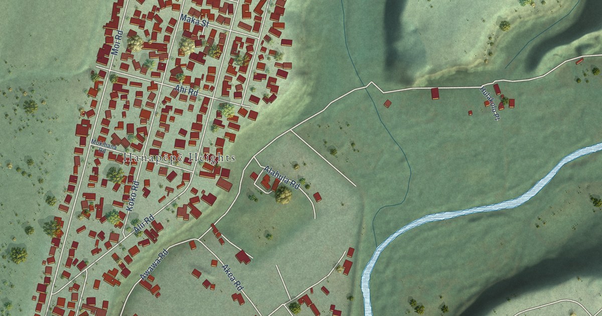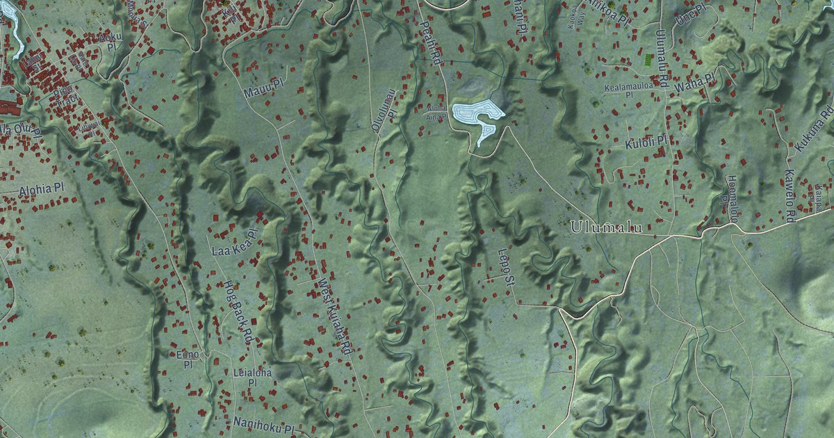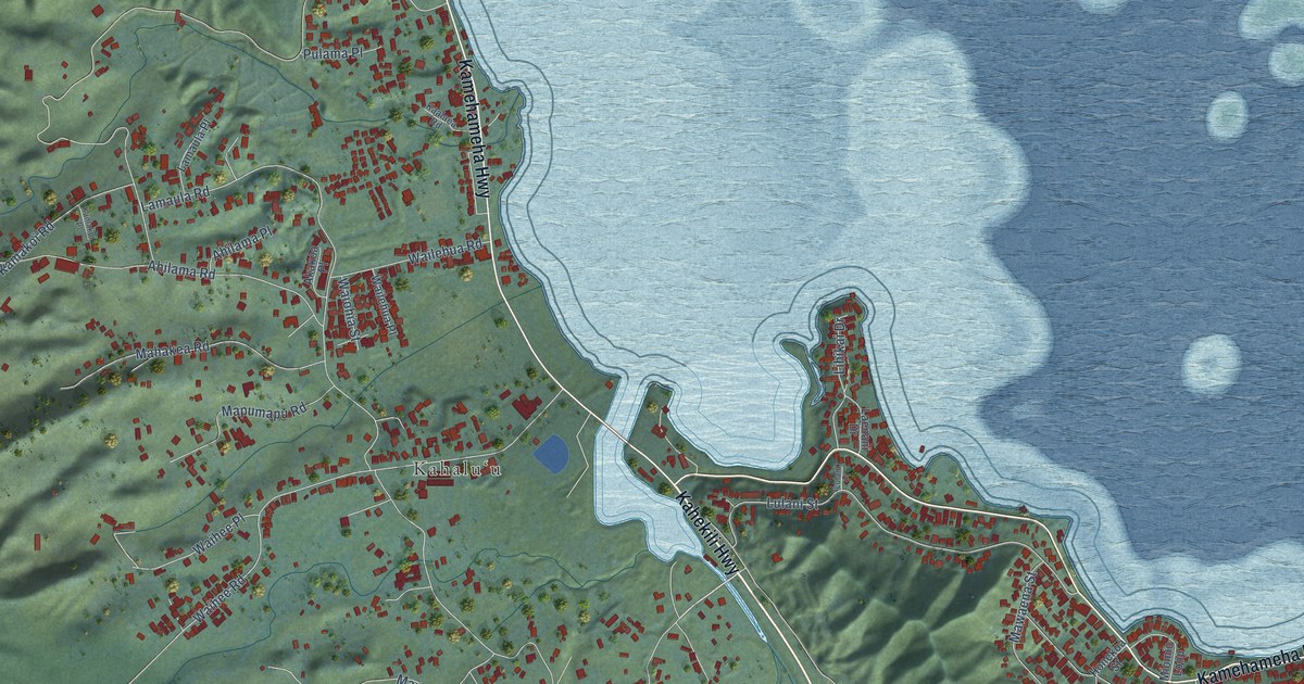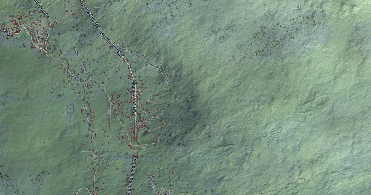
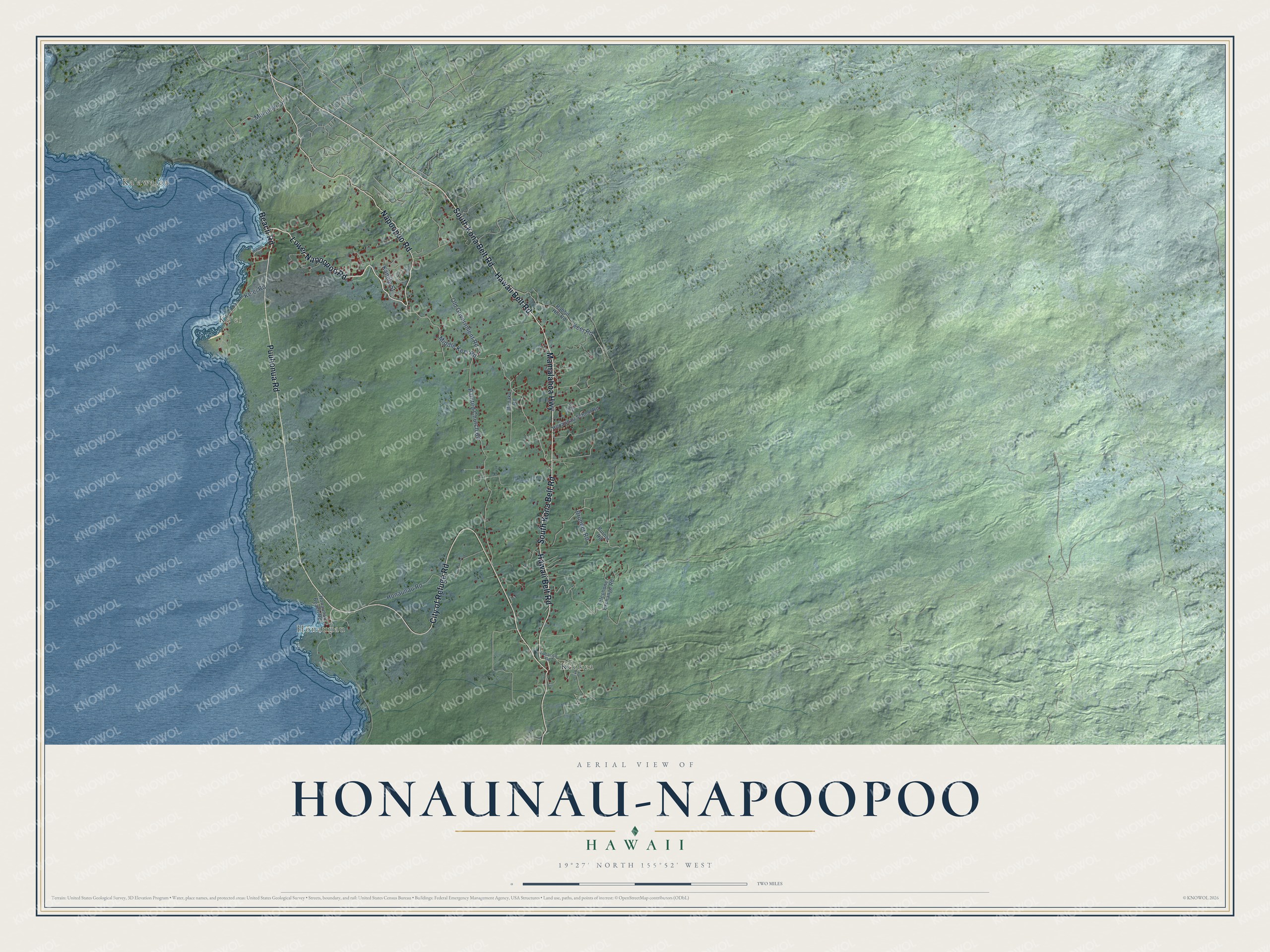
This beautifully detailed map of Honaunau-Napoopoo, Hawaii was created in 2026 using aerial imagery combined with modern topographical, census, street and landmark data. It's a modern aerial view of Honaunau-Napoopoo in Hawaii County, Hawaii, that combines modern data with a vintage aesthetic. The roads feature printed names, and if you look closely you can find your exact house accurately shown in its correct location.
Explore an aerial view of Honaunau-Napoopoo, Hawaii
On this map you'll find Keʻei, Hōnaunau, Kēōkea, Kaʻawaloa, Lower Napoopoo Road, Beach Road, South Kona Belt Road, Mamalahoa Highway, Puuhonua Road, Hawaii Belt Road, Napoopoo Road, City of Refuge Road, and more. Each red shape is a building, so zoom in on the preview and look for yours.
Every town has a first chapter, and Honaunau-Napoopoo is no exception. Puʻuhonua o Hōnaunau, the place of refuge on Hōnaunau Bay, is enclosed by the Great Wall, a massive stone wall 965 feet long. In ancient times it gave sanctuary to defeated warriors, noncombatants and those who broke the kapu, the sacred laws, and it remains a most sacred place. For several centuries the refuge and the Royal Grounds beside it were one of the main religious and political centers of old Kona. That's from the National Park Service.
Honaunau-Napoopoo is a community in Hawaii County. The Census Bureau counted 2,416 people here in 2020.
Take a closer look at the Honaunau-Napoopoo map
Names on this map
These names are printed on this map.
Places: Keʻei, Hōnaunau, Kēōkea and Kaʻawaloa.
Streets and roads: Lower Napoopoo Road, Beach Road, South Kona Belt Road, Mamalahoa Highway, Puuhonua Road, Hawaii Belt Road, Napoopoo Road, City of Refuge Road, Middle Keei Road, Brunner Road, Painted Church Road, Old Government Road.
More street names, A to Z
Burner Road, Honaunau Beach Road, Honaunau Road, Honaunau School Road, Kanele Street, Ke'ei Road, Keei Road, Kula Road, Makahiki Lane, Manako Road, Manini Road, Rabbit Hill Road, Telephone Exchange Road, Tobacco Road.
See it on a wall
The Honaunau-Napoopoo map as a framed print. Swipe for more.


Created by KNOWOL in 2026. The buildings are small red shapes, the roads carry their printed names, and shaded relief shows the shape of the land. The title panel reads "AERIAL VIEW OF HONAUNAU-NAPOOPOO, HAWAII" with 19°27' NORTH 155°52' WEST.
Hang it in the hallway, the office or the cabin, or give it to someone who left Honaunau-Napoopoo and still calls it home. Open the preview and look for a street you know. See sizes and frames for the Honaunau-Napoopoo map.