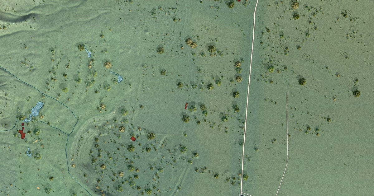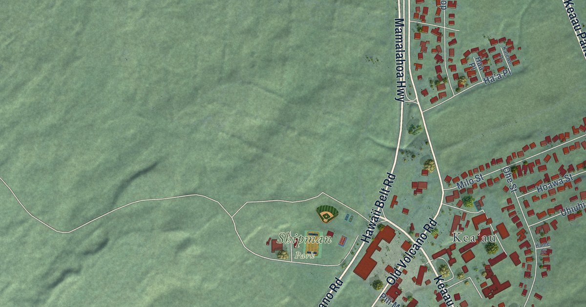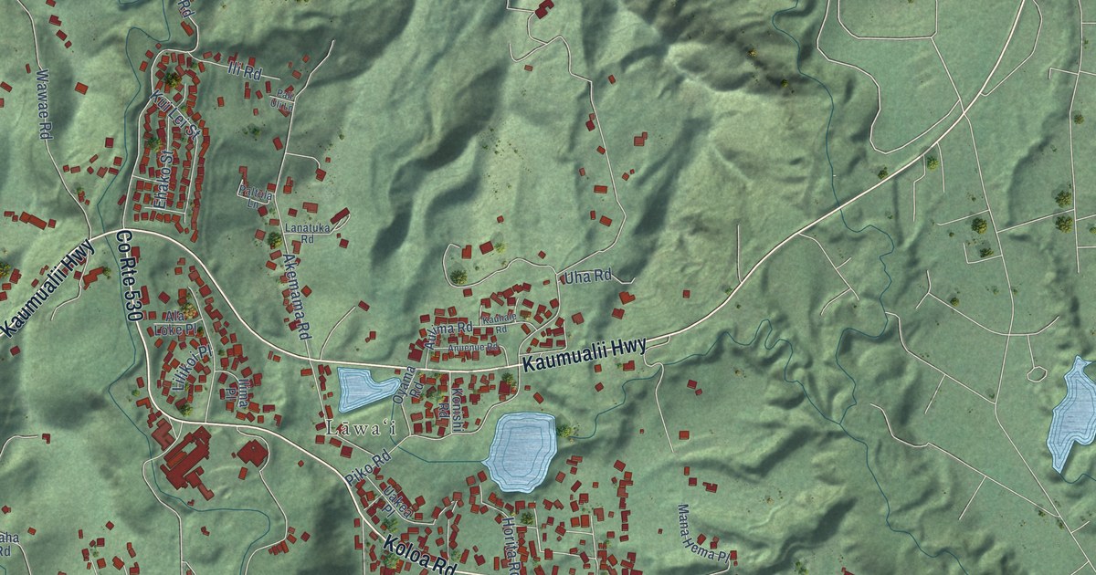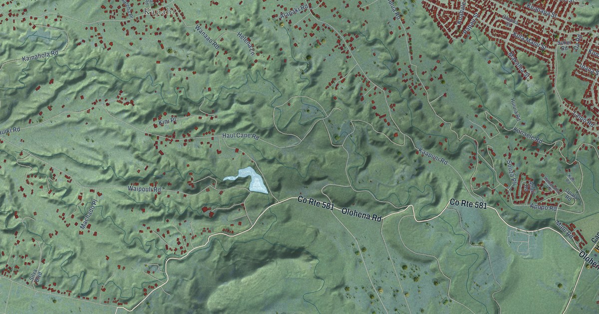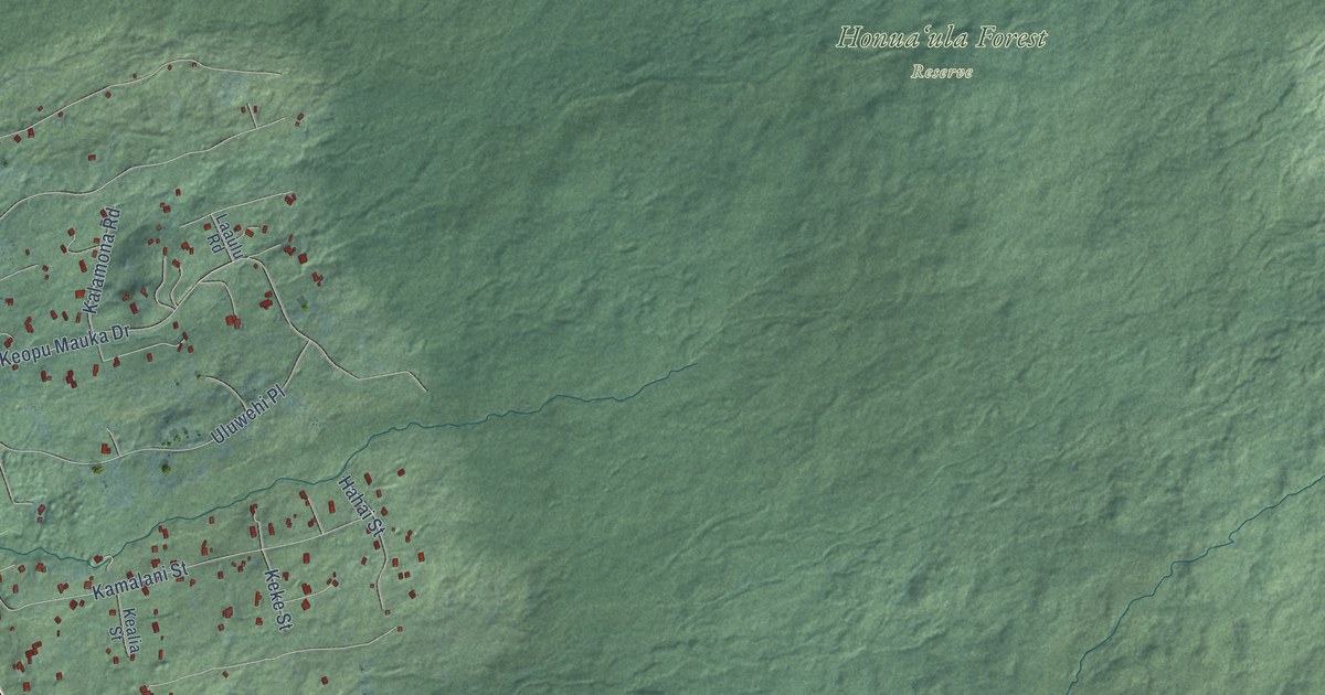
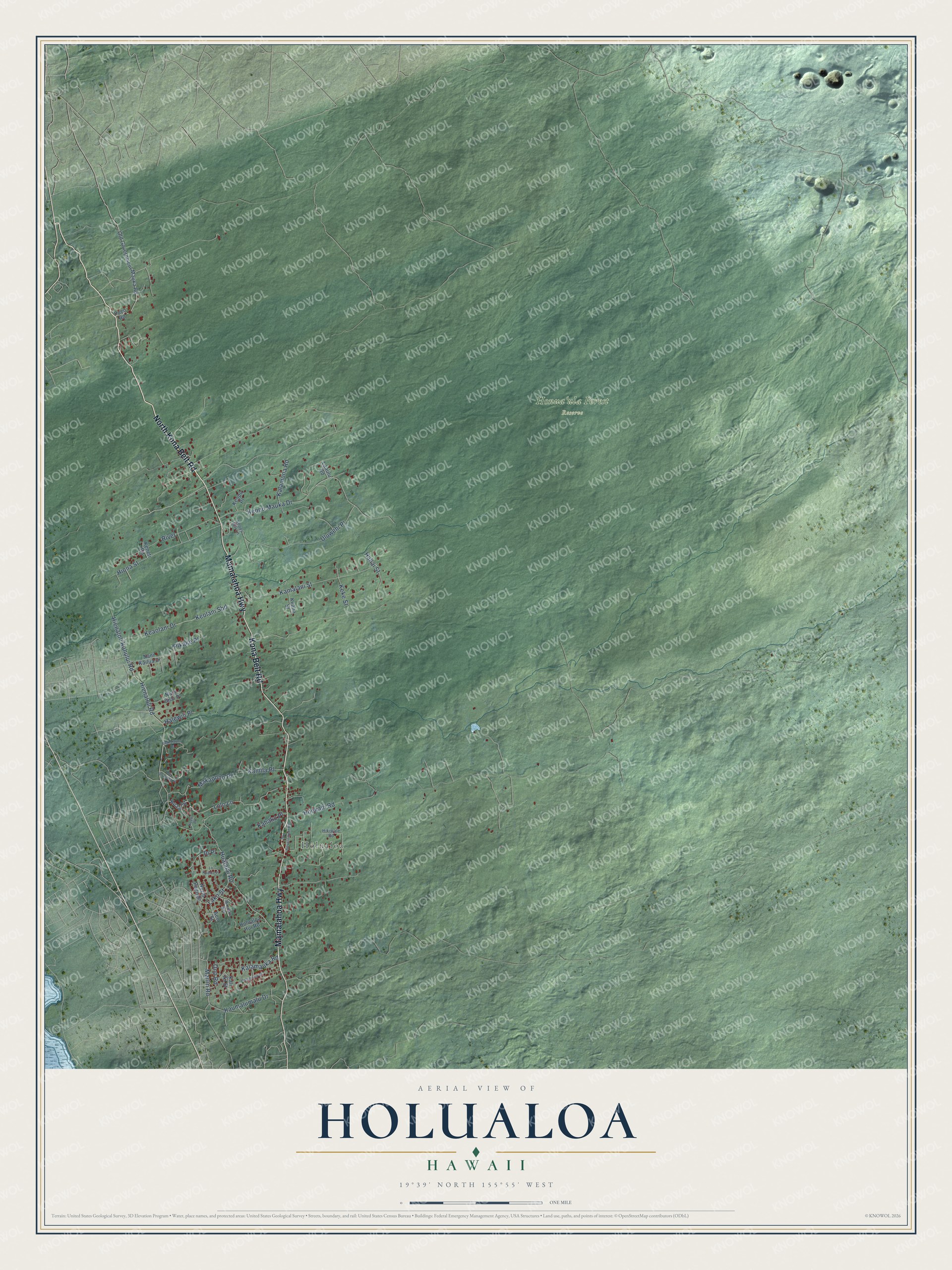
This beautifully detailed map of Holualoa, Hawaii was created in 2026 using aerial imagery combined with modern topographical, census, street and landmark data. It's a modern aerial view of Holualoa in Hawaii County, Hawaii, that combines modern data with a vintage aesthetic. The roads feature printed names, and if you look closely you can find your exact house accurately shown in its correct location.
Explore an aerial view of Holualoa, Hawaii
On this map you'll find Honuaʻula Forest Reserve, Hōlualoa, Kona Belt Road, North Kona Belt Road, Mamalahoa Highway, Lolo Lane, Hualalai Road, Hienaloli Kahului Road, Hienaloli Road, Keopu Mauka Drive, Kamalani Street, Uluwehi Place, and more. Each red shape is a building, so zoom in on the preview and look for yours.
Every town has a first chapter, and Holualoa is no exception. Holualoa Village is named for the thrilling but dangerous sport of riding a thin wooden sled down a long run of coarse lava rock pebbles. In the name, hōlua means the wooden sleds and loa means long. In 1828 the Reverend Samuel Ruggles brought coffee to Holualoa with cuttings from Brazil. Later, from 1899 to 1926, sugar ruled, and the little village was Kona's only sugar town. That's from the Ke Ola Magazine.
Holualoa is a community in Hawaii County. The Census Bureau counted 2,994 people here in 2020.
Take a closer look at the Holualoa map
Names on this map
These names are printed on this map.
Places: Honuaʻula Forest Reserve and Hōlualoa.
Streets and roads: Kona Belt Road, North Kona Belt Road, Mamalahoa Highway, Lolo Lane, Hualalai Road, Hienaloli Kahului Road, Hienaloli Road, Keopu Mauka Drive, Kamalani Street, Uluwehi Place, Hiona Street, Keaolani Drive.
More street names, A to Z
Aeo Street, Hahai Street, Halewili Place, Hikiwale Road, Holualoa Hui Road, Hookahi Road, Huaai Street, Io Place, Kahako Place, Kalamauka Road, Kalamona Road, Kalaniuka Street, Kali Iki Street, Kamila Place, Kaumalumalu Drive, Kealia Street, Keke Street, Keneti Road, Keolani Sbd, Keopu Mill Lane, Keopu Place, Kueni Place, Laaulu Road, Lako Street, Lo Kualua Place, Makalauna Place, Makapono Place, Manuoku Way, Marlin Road, Nani Kailua Drive, Nani Ohai Place, North Pueo Place, Old Government Mauka Road, Old Government Road, Ono Road, Pikake Place, Pueo Road, Pu Ho'aloha Place, River.
See it on a wall
The Holualoa map as a framed print. Swipe for more.


Created by KNOWOL in 2026. The buildings are small red shapes, the roads carry their printed names, and shaded relief shows the shape of the land. The title panel reads "AERIAL VIEW OF HOLUALOA, HAWAII" with 19°39' NORTH 155°55' WEST.
Hang it in the hallway, the office or the cabin, or give it to someone who left Holualoa and still calls it home. Open the preview and look for a street you know. See sizes and frames for the Holualoa map.