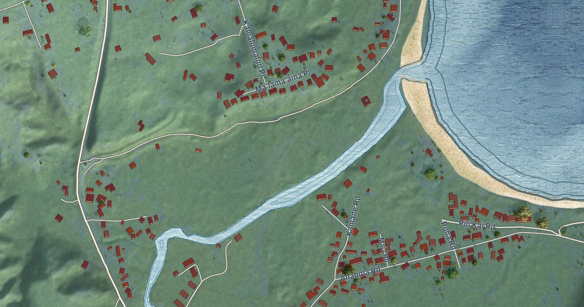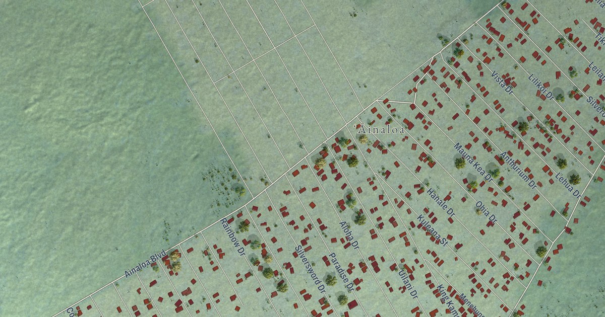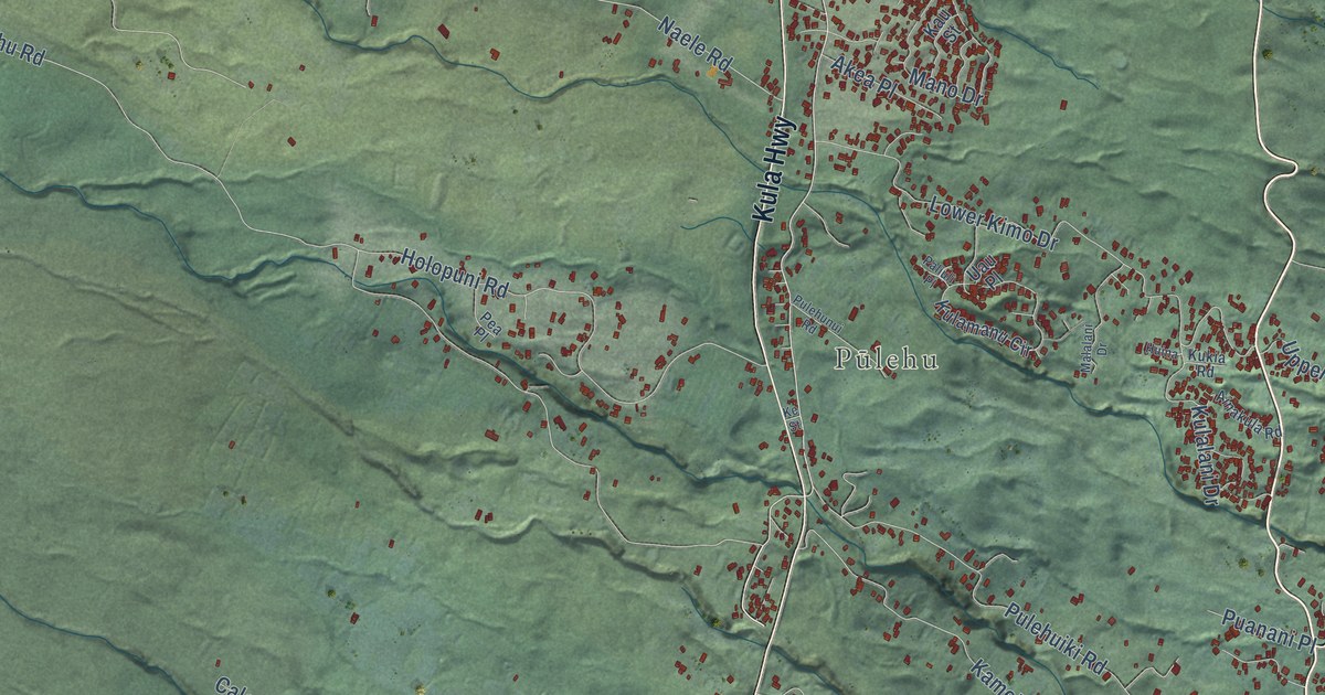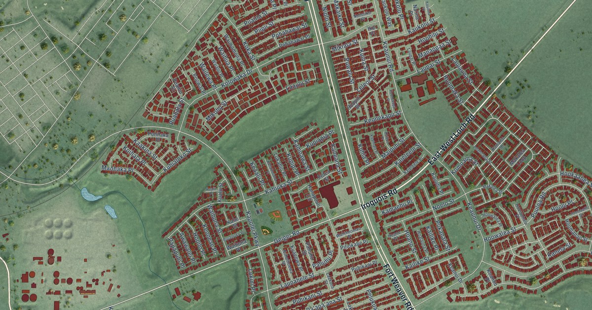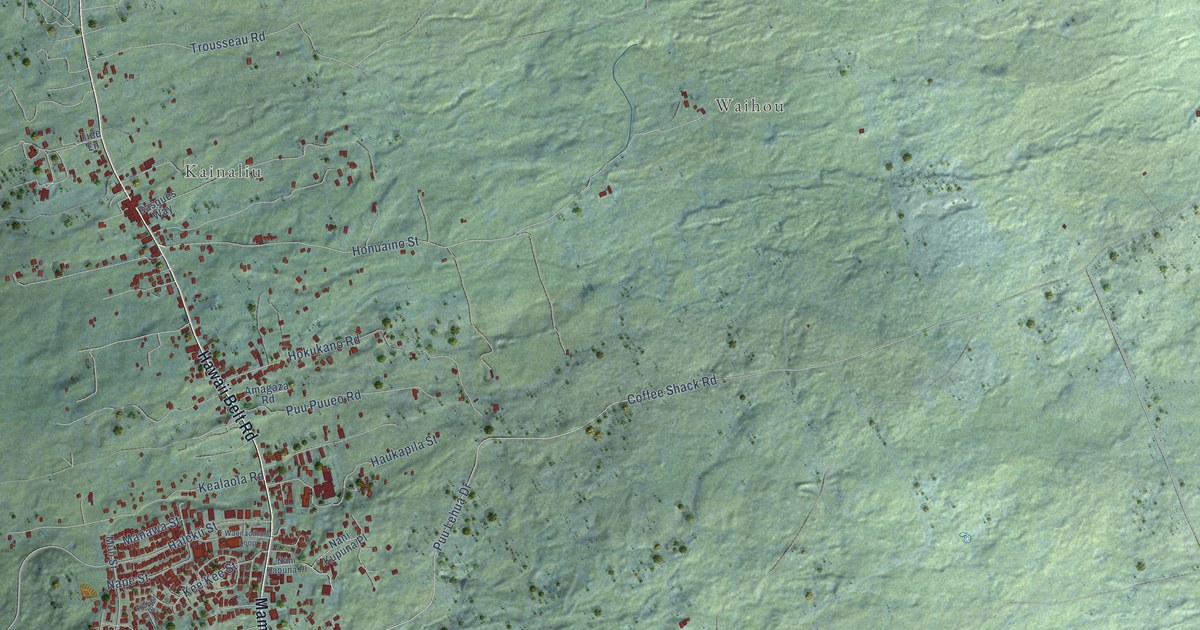
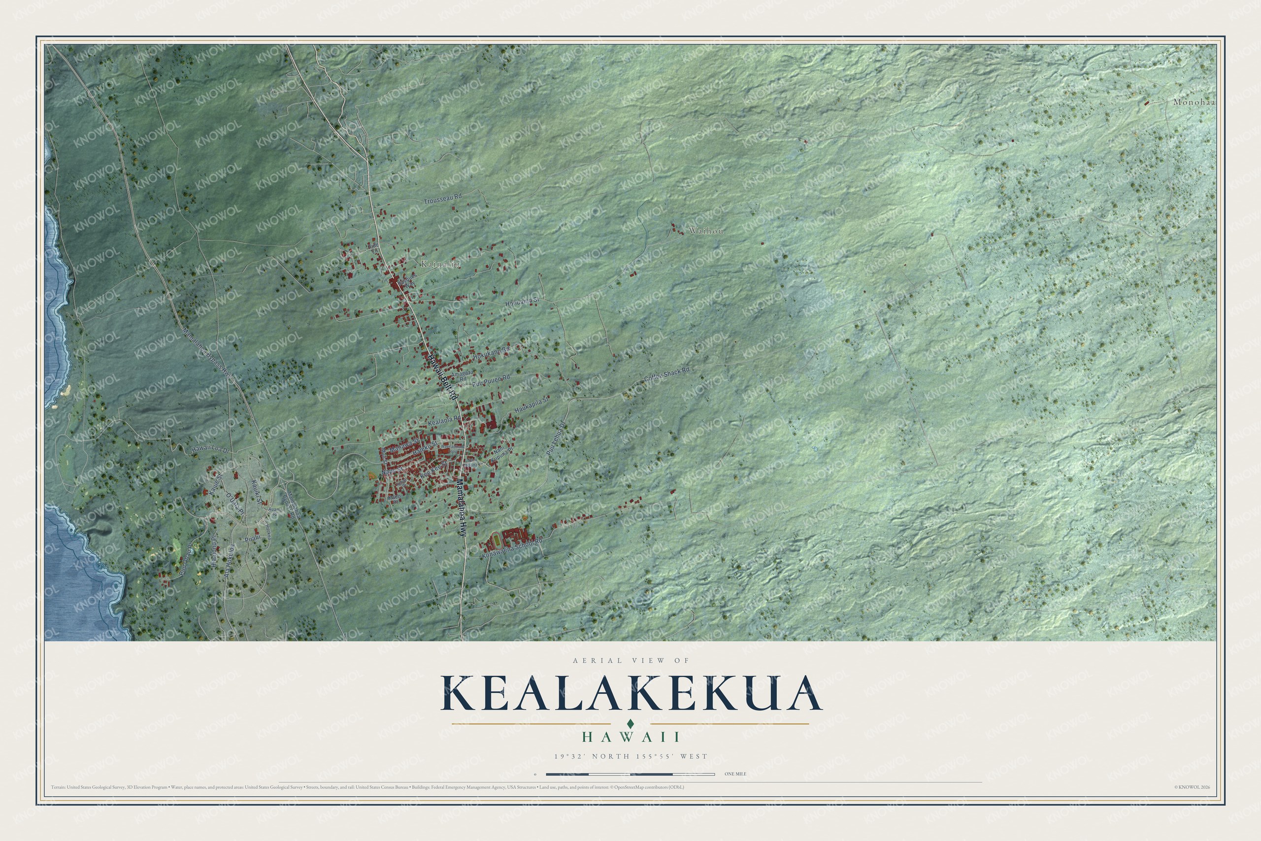
This beautifully detailed map of Kealakekua, Hawaii was created in 2026 using aerial imagery combined with modern topographical, census, street and landmark data. It's a modern aerial view of Kealakekua in Hawaii County, Hawaii, that combines modern data with a vintage aesthetic. The roads feature printed names, and if you look closely you can find your exact house accurately shown in its correct location.
Explore an aerial view of Kealakekua, Hawaii
On this map you'll find Monohaa, Waihou, Kainaliu, Mamalahoa Highway, Hawaii Belt Road, Halekii Street, Hawaii Loa Drive, Mamalahoa Bypass Highway, Honuaino Street, Puu Lehua Drive, Coffee Shack Road, Konawaena School Road, and more. Each red shape is a building, so zoom in on the preview and look for yours.
Here is a piece of Kealakekua history. Englishman Henry Nicholas Greenwell built the Greenwell Store in Kealakekua to supply the immigrant community of the remote Kona districts. It's the oldest surviving store in Kona and one of the oldest buildings in Hawaii, and from it he and his sons built up the Kona ranching industry. His wife, Elizabeth Caroline Greenwell, ran the store when he was away. Restored, it now takes visitors back into the 1890s, stocked with copies of the goods it once sold. That's from the Kona Historical Society.
Kealakekua is a community in Hawaii County. The Census Bureau counted 2,307 people here in 2020.
Take a closer look at the Kealakekua map
Names on this map
These names are printed on this map.
Places: Monohaa, Waihou and Kainaliu.
Streets and roads: Mamalahoa Highway, Hawaii Belt Road, Halekii Street, Hawaii Loa Drive, Mamalahoa Bypass Highway, Honuaino Street, Puu Lehua Drive, Coffee Shack Road, Konawaena School Road, Trousseau Road, Hokukano Road, Kealaola Road.
More street names, A to Z
Ala Hokuloa, Amagaza Road, Auamo Place, Basques Way, Haokea, Haukapila Street, Hiaaiono Place, Kaeo Place, Kaiue Street, Kauiki Street, Kee Kee Street, Kekaa Place, Mamalahoa Bypass Road, Manawa Street, Muli Street, Nani Kapuna Place, Nani Kupuna Place, Nape Street, O'Uala Place, Piialii, Puu Ohau Place, Puu Puueo Road, Tide Lane, Waenaoihana Loop.
See it on a wall
The Kealakekua map as a framed print. Swipe for more.


Created by KNOWOL in 2026. The buildings are small red shapes, the roads carry their printed names, and shaded relief shows the shape of the land. The title panel reads "AERIAL VIEW OF KEALAKEKUA, HAWAII" with 19°32' NORTH 155°55' WEST.
It suits a den, a classroom or a front hall, and it makes a gift for anyone with Kealakekua roots. Open the preview and find the block you know. See sizes and frames for the Kealakekua map.