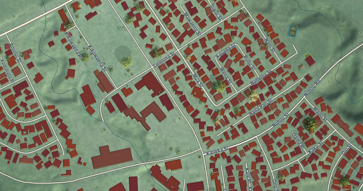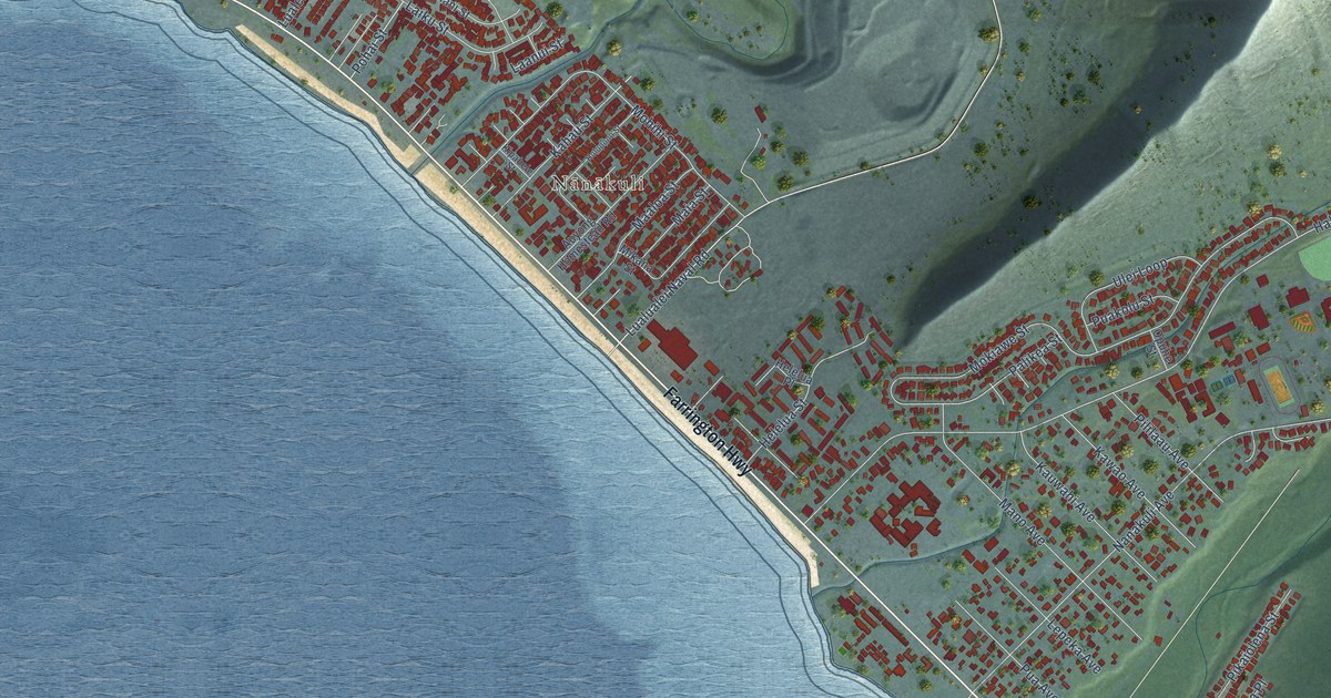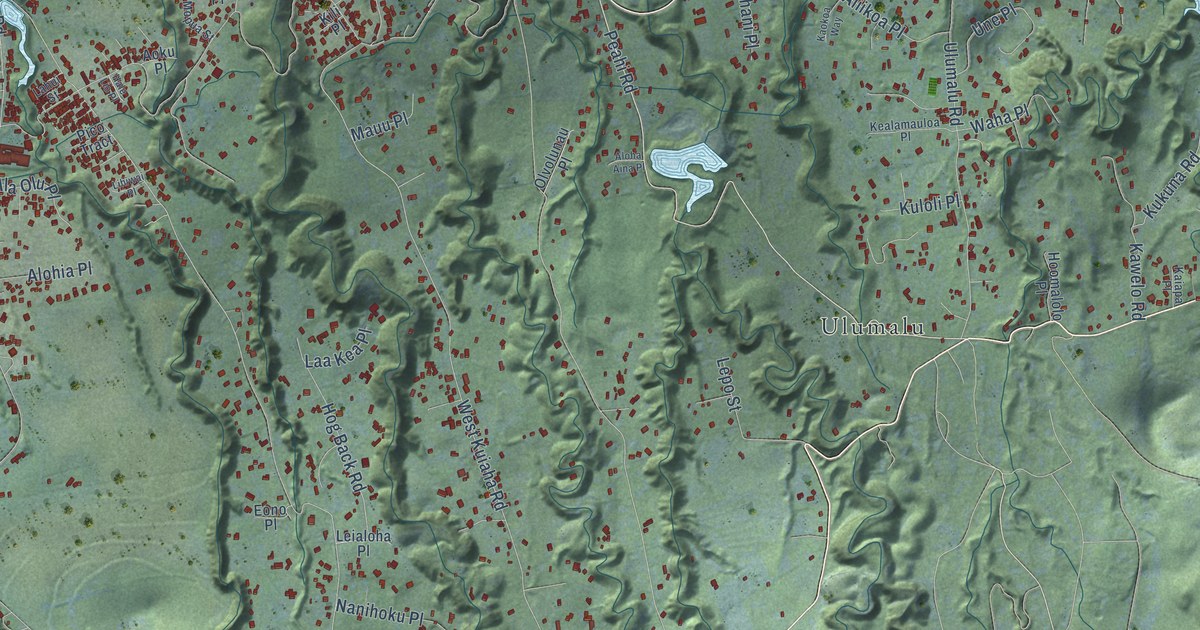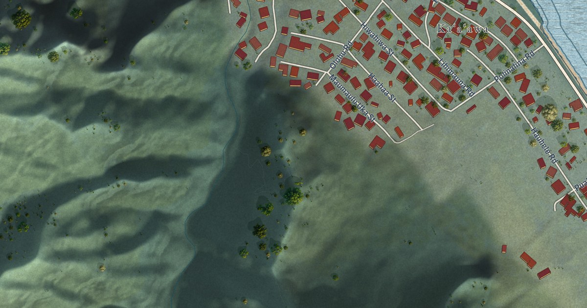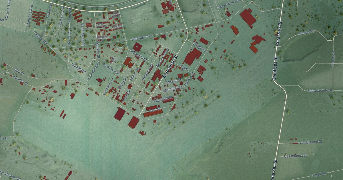
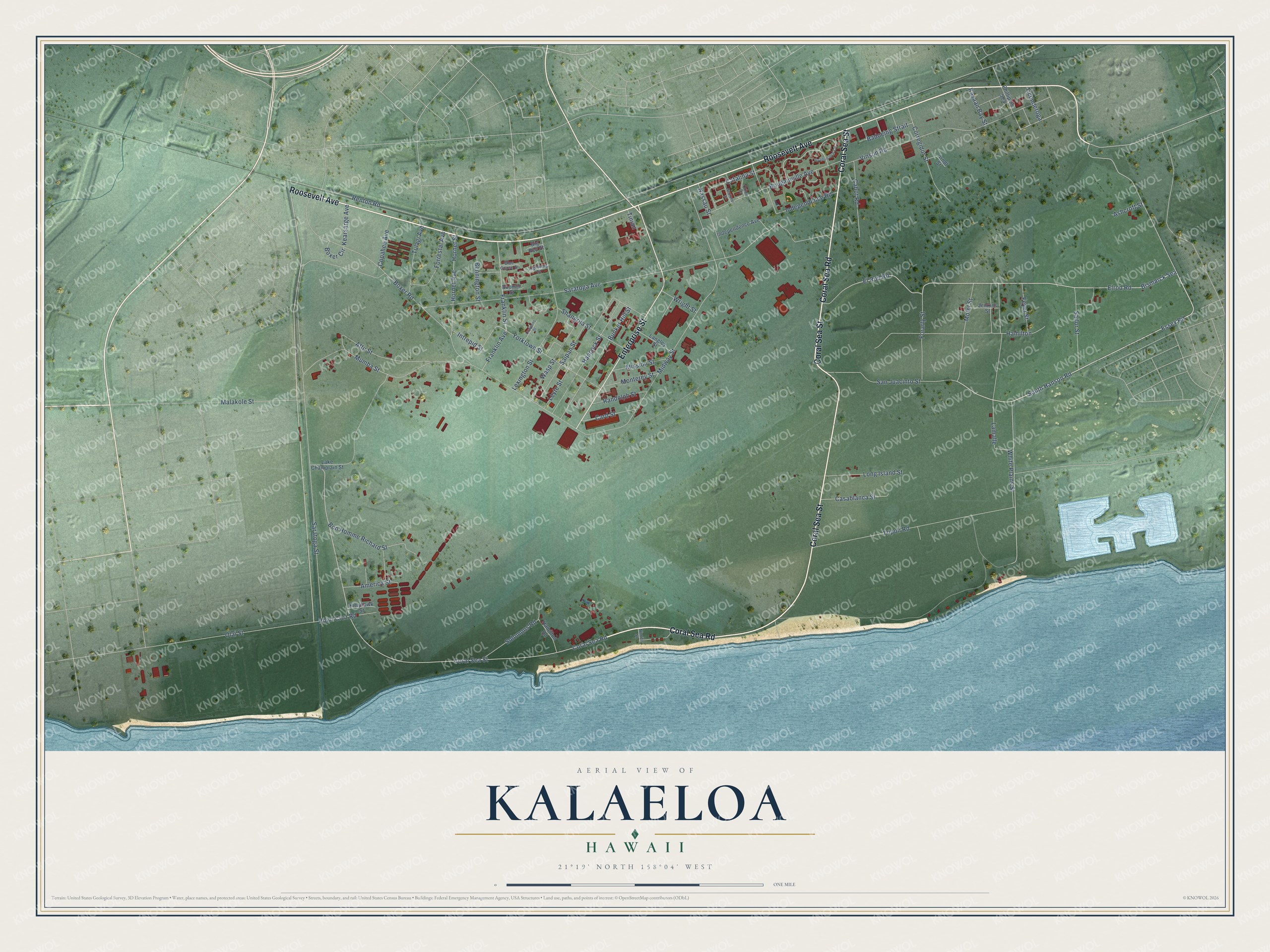
This beautifully detailed map of Kalaeloa, Hawaii was created in 2026 using aerial imagery combined with modern topographical, census, street and landmark data. It's a modern aerial view of Kalaeloa in Honolulu County, Hawaii, that combines modern data with a vintage aesthetic. The roads feature printed names, and if you look closely you can find your exact house accurately shown in its correct location.
Explore an aerial view of Kalaeloa, Hawaii
On this map you'll find Roosevelt Avenue, Coral Sea Road, Coral Sea Street, Enterprise Street, South Hanson Road, Elrod Road, El Rod Road, Essex Road, Saratoga Street, Catalina Street, Renton Road, Midway Street, and more. Each red shape is a building, so zoom in on the preview and look for yours.
Kalaeloa is a community in Honolulu County. The Census Bureau counted 2,364 people here in 2020. Kalaeloa sits about 2 miles south of Kapolei, 2 miles west of Ocean Pointe and 3 miles southwest of Ewa Villages. The map prints the town name in its title panel, with the coordinates below it.
Take a closer look at the Kalaeloa map
Names on this map
These names are printed on this map.
Streets and roads: Roosevelt Avenue, Coral Sea Road, Coral Sea Street, Enterprise Street, South Hanson Road, Elrod Road, El Rod Road, Essex Road, Saratoga Street, Catalina Street, Renton Road, Midway Street.
More street names, A to Z
America Street, Arndt Street, Ashcroft Street, Attu Street, Badoeing Strait, Bennington Street, Big Red Street, Bismarck Sea, Blue Goose Street, Bon Homme Richard Street, Boomer Street, Bougainville Avenue, Boxer Circle, Boxer Road, Bunker Hill Street, Cabot Road, Card Street, Casablanca Street, Copahee Avenue, Corregidor Street, Cowpens Street, Feyer Street, Forarty Street, Forrestal Avenue, Franklin Avenue, Franklin Street, Guadalcanal Circle, Hamilton, Hamilton Road, Hancock Street, Hornet Avenue, Hornet Street, Independence Avenue, Independence Road, Intrepid Street, Jenkins Street, Kasaan Bay Street, Kearsarge Avenue, Kittyhawk Street, Lake Champlain Street, Lamalle, Langley Street, Lexington Street, Leyte Street, Lightning Street, Long Island Street, Malakole Street, Mission Street, Mofet Street, Monterey Street, Mumba Street, Nassau Street, Neptune Street, Nimitz Street, Olai Street, Orion Drive, Phillipine Sea, Point Cruz Road, Randolph Street, Sailor Street, Saipan Street, San Juacinto Street, Saratoga Avenue, Shangrila Street, Solomons Road, Ticonderoga, Tinian, Tripoli Road, Tulagi Avenue, Vinson Road, Wasp Street, White Plains Street, Wright Street, Yorktown Street.
See it on a wall
The Kalaeloa map as a framed print. Swipe for more.


Created by KNOWOL in 2026. The buildings are small red shapes, the roads carry their printed names, and shaded relief shows the shape of the land. The title panel reads "AERIAL VIEW OF KALAELOA, HAWAII" with 21°19' NORTH 158°04' WEST.
It looks right in a kitchen, an office or a den, and it's a gift for anyone who grew up in Kalaeloa or moved away. Open the preview and find your street. See sizes and frames for the Kalaeloa map.