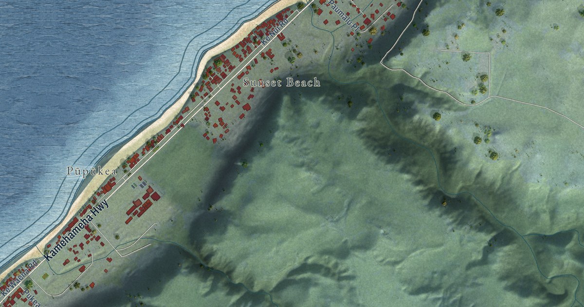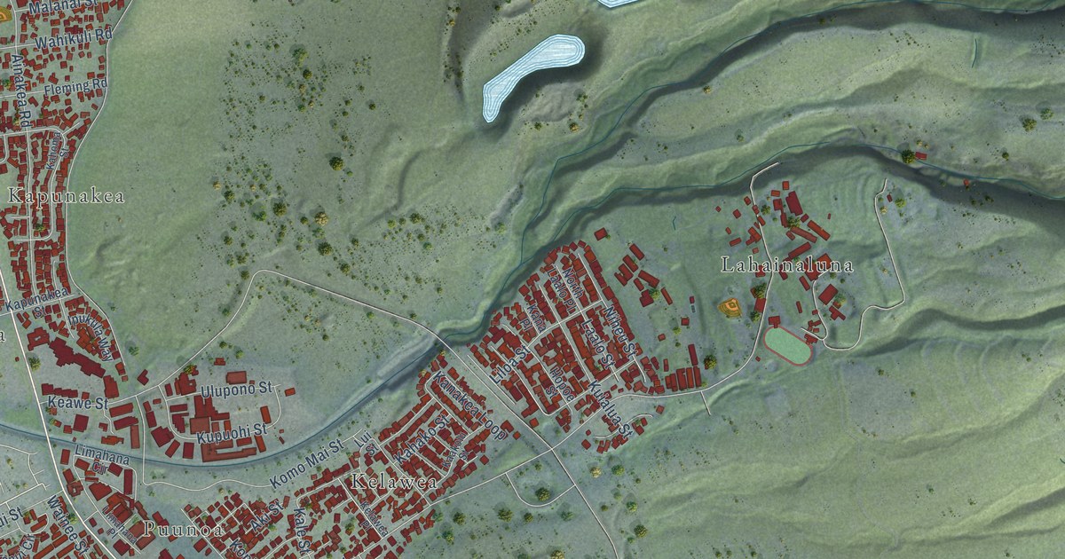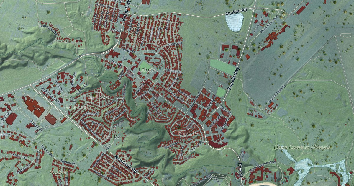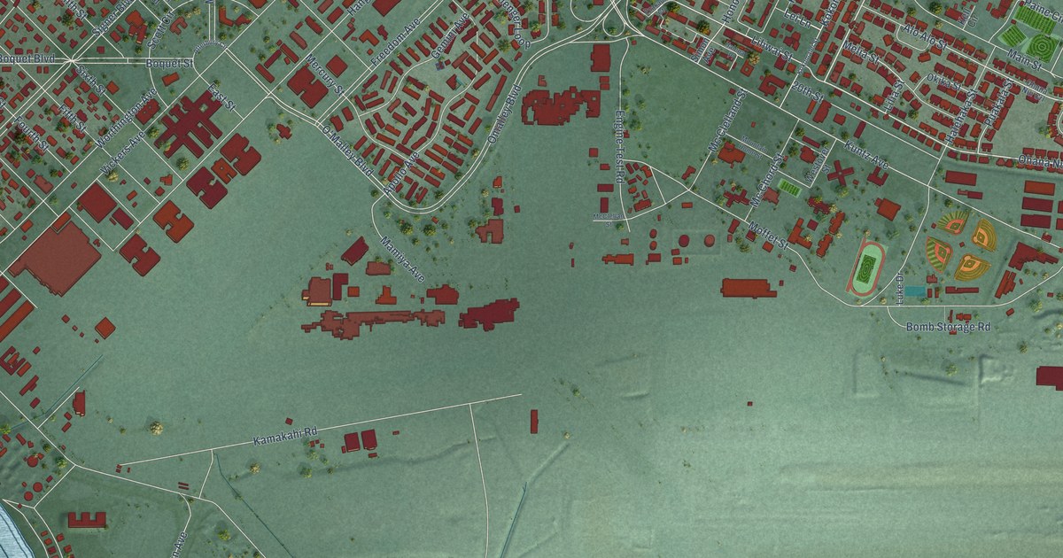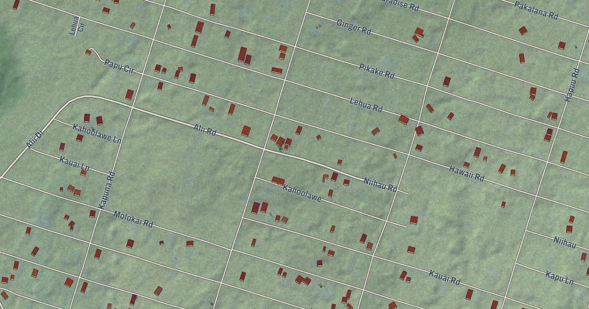
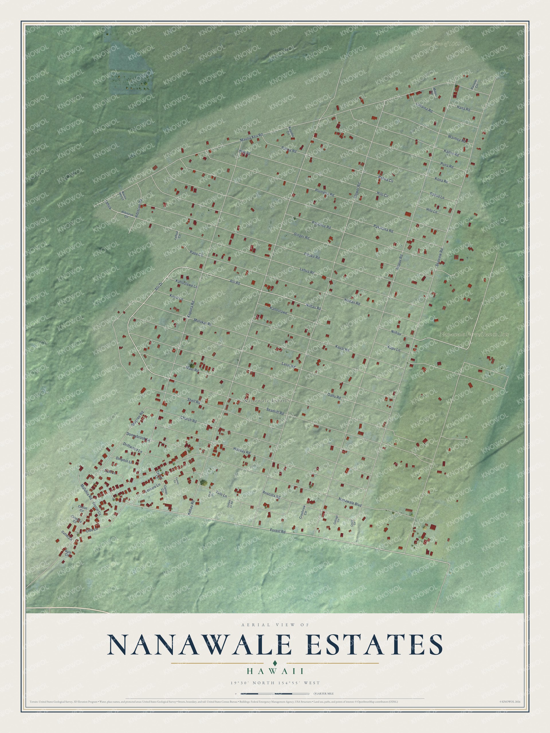
This beautifully detailed map of Nanawale Estates, Hawaii was created in 2026 using aerial imagery combined with modern topographical, census, street and landmark data. It's a modern aerial view of Nanawale Estates in Hawaii County, Hawaii, that combines modern data with a vintage aesthetic. The roads feature printed names, and if you look closely you can find your exact house accurately shown in its correct location.
Explore an aerial view of Nanawale Estates, Hawaii
On this map you'll find Nānāwale Estates, Lava Flow of 1840, Nanawale Farm/Ranch Lots, Alii Road, Niihau Road, Forest Road, Hapuu Road, Seaview Road, Flower Road, Mauna Kea Road, Kehau Road, Nanawale Boulevard, and more. Each red shape is a building, so zoom in on the preview and look for yours.
Nanawale Estates is a community in Hawaii County. The Census Bureau counted 1,652 people here in 2020. Nanawale Estates sits about 2 miles east of Pahoa, 3 miles north of Leilani Estates and 3 miles southeast of Hawaiian Beaches. The map prints the town name in its title panel, with the coordinates below it.
Take a closer look at the Nanawale Estates map
Names on this map
These names are printed on this map.
Places: Nānāwale Estates and Lava Flow of 1840.
Streets and roads: Alii Road, Niihau Road, Forest Road, Hapuu Road, Seaview Road, Flower Road, Mauna Kea Road, Kehau Road, Nanawale Boulevard, Molokai Road, Kapuna Road, Pikake Road.
More street names, A to Z
Alii Drive, Cameo Circle, Centella Circle, Center Circle, Center Lane, Cholet Circle, Church Road, Colby Circle, Collen Cr Road, Coral Circle, Cottage Circle, Crestview Circle, Crystal Circle, Cutter Circle, Dolphin Lane, Donnybrook Lane, Driftwood Lane, Duff Lane, Ginger Road, Hanalei Circle, Hana Road, Hawaii Road, Hibiscus Circle, Hibiscus Road, Hilo Circle, Hilo Lane, Hilo Road, Holiday Road, Hyla Circle, Kahoolawe, Kahoolawe Lane, Kailua Road, Kapoho Circle, Kapu Lane, Kauai Lane, Kauai Road, Kona Road, Lahaina Road, Lanai Road, Lehua, Lehua Circle, Lehua Road, Leisure Lane, Lido Lane, Maluhia Road, Maui Road, Mauna Kea Circle, Mayzee Road, Miloii Circle, Niihau, Oahu Road, Pahoa Circle, Pahoa Lane, Pahoa Road, Pakalana Road, Papu Circle, Paradise Road, Plumeria Road, Priscilla Road, Puna Road, Seadrift Road, Shell Road, Tutu Lane, Waimea Road.
See it on a wall
The Nanawale Estates map as a framed print. Swipe for more.


Created by KNOWOL in 2026. The buildings are small red shapes, the roads carry their printed names, and shaded relief shows the shape of the land. The title panel reads "AERIAL VIEW OF NANAWALE ESTATES, HAWAII" with 19°30' NORTH 154°55' WEST.
Hang it in the hallway, the office or the cabin, or give it to someone who left Nanawale Estates and still calls it home. Open the preview and look for a street you know. See sizes and frames for the Nanawale Estates map.