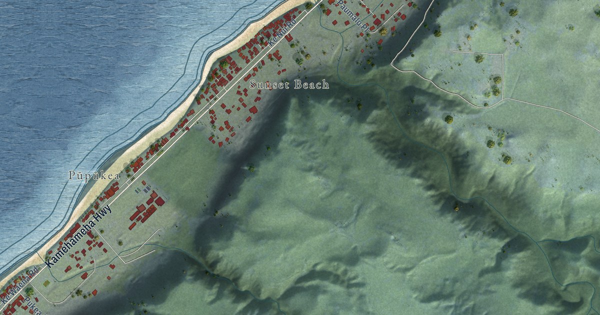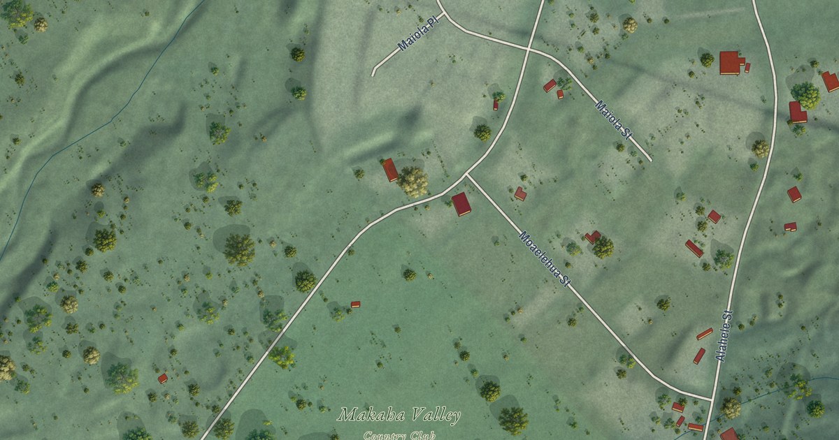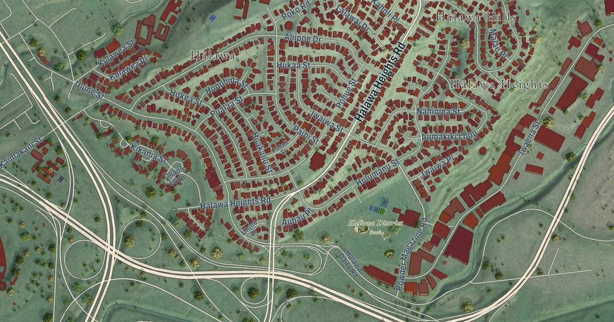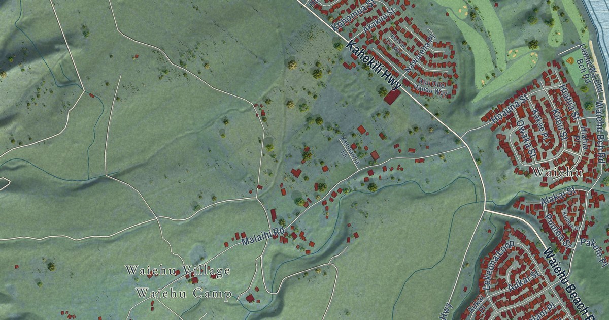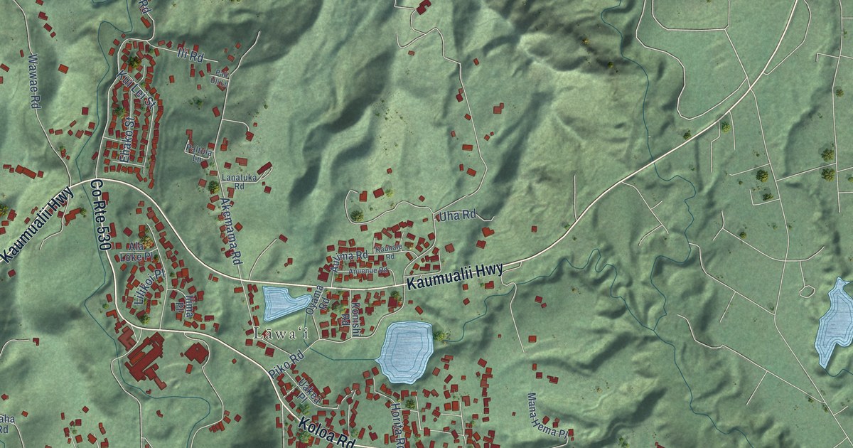
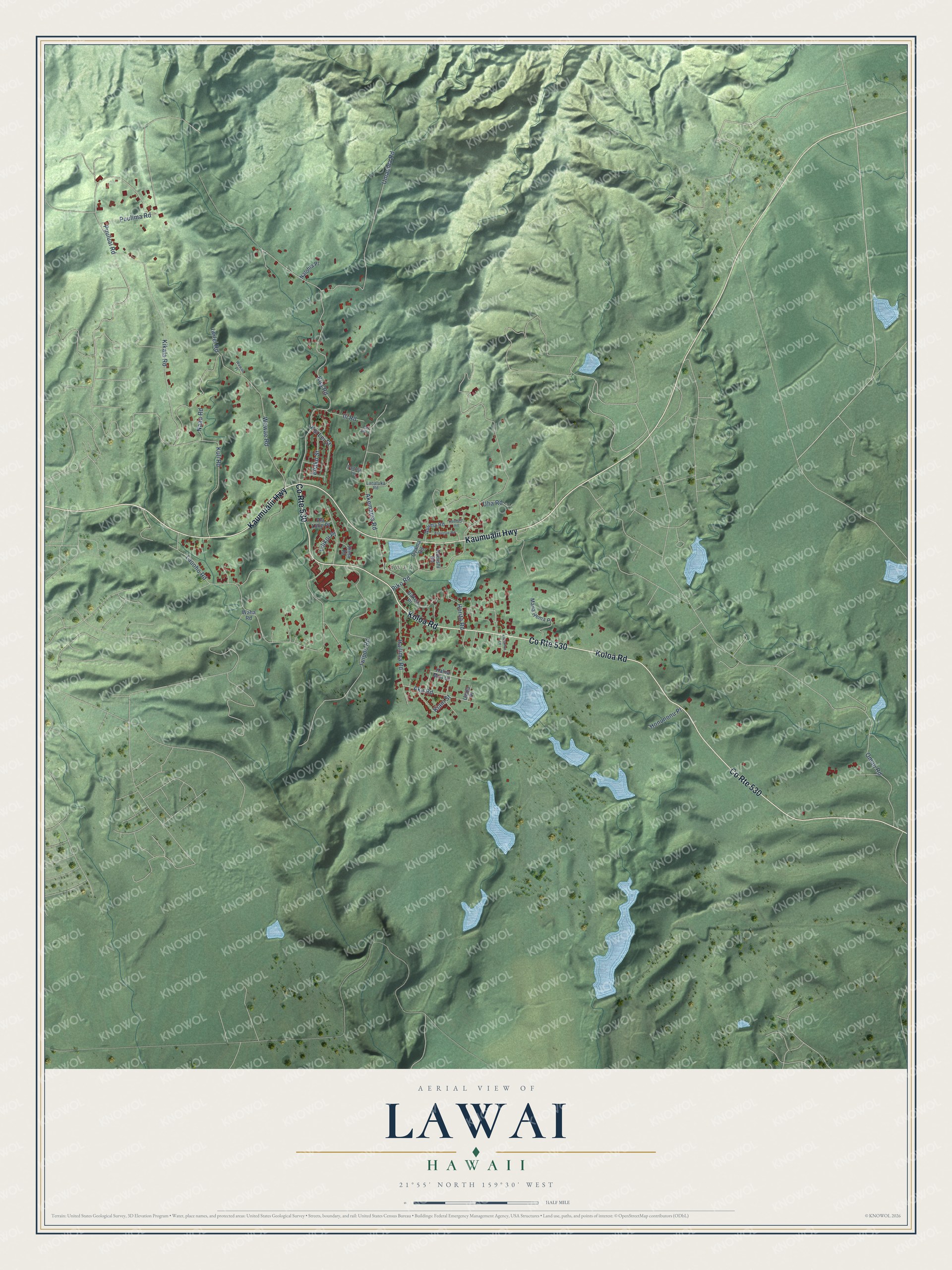
This beautifully detailed map of Lawai, Hawaii was created in 2026 using aerial imagery combined with modern topographical, census, street and landmark data. It's a modern aerial view of Lawai in Kauai County, Hawaii, that combines modern data with a vintage aesthetic. The roads feature printed names, and if you look closely you can find your exact house accurately shown in its correct location.
Explore an aerial view of Lawai, Hawaii
On this map you'll find Lāwaʻi, Koloa Road, Kaumualii Highway, Puulima Road, Kua Road, Wawae Road, Lauoho Road, Iwipoo Road, Piko Road, Kikala Road, Akemama Road, Umauma Road, and more. Each red shape is a building, so zoom in on the preview and look for yours.
Every town has a first chapter, and Lawai is no exception. The Lawai International Center puts it this way: "In 1904 the first generation of Japanese immigrants built 88 shrines replicating an ancient pilgrimage of 88 temples in Shikoku, Japan. Today, it is the only such site existing outside of Japan and is one of the oldest Buddhist temple sites in the country." The 32 acres in the Lawai Valley were once the site of a Hawaiian heiau, a Taoist temple, a Shinto shrine and a Buddhist temple. Queen Emma once wrote of the special healing powers of the waters of Lawai.
Lawai is a community in Kauai County. The Census Bureau counted 2,578 people here in 2020.
Take a closer look at the Lawai map
Names on this map
These names are printed on this map.
Places: Lāwaʻi.
Streets and roads: County Route 530, Koloa Road, Kaumualii Highway, Puulima Road, Kua Road, Wawae Road, Lauoho Road, Iwipoo Road, Piko Road, Kikala Road, Akemama Road, Umauma Road.
More street names, A to Z
Aka Road, Ala Loke Place, Anuenue Road, Aulima Road, Ehako Street, Hailima Road, Honunonu Place, Horita Road, Ilima Place, Ili Road, Iwilei Road, Kalua Moa Lane, Kauhale Road, Kiani Street, Konishi Road, Kui Lei Street, Kuli Road, Lanatuka Road, Lawailoa Lane, Lilikoi Place, Mana Hema Place, Naau Road, Nalohia Place, Omao Road, Oyama Road, Pali Uli Lane, Paltula Lane, Puuluai Road, Uakea Place, Uha Road, Uwila Place, Waha Road, Wawae Place.
See it on a wall
The Lawai map as a framed print. Swipe for more.


Created by KNOWOL in 2026. The buildings are small red shapes, the roads carry their printed names, and shaded relief shows the shape of the land. The title panel reads "AERIAL VIEW OF LAWAI, HAWAII" with 21°55' NORTH 159°30' WEST.
Hang it in the hallway, the office or the cabin, or give it to someone who left Lawai and still calls it home. Open the preview and look for a street you know. See sizes and frames for the Lawai map.