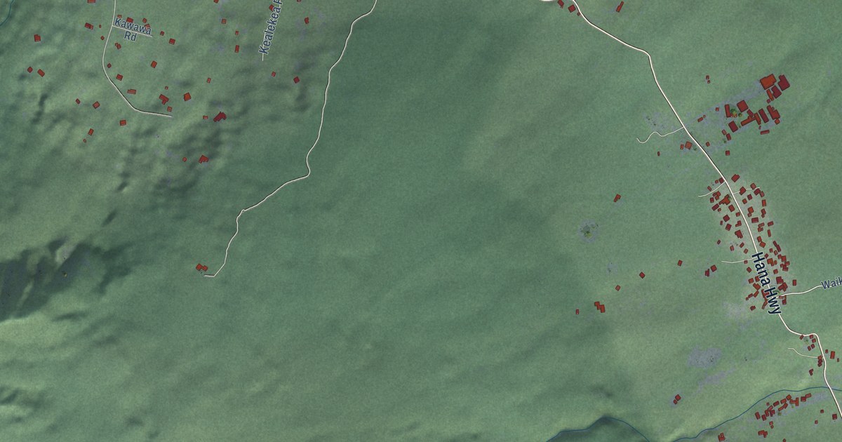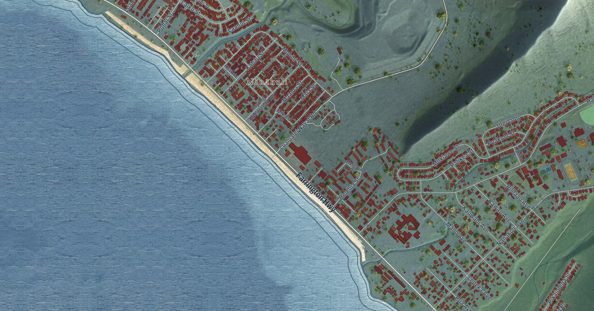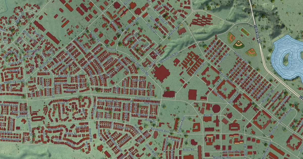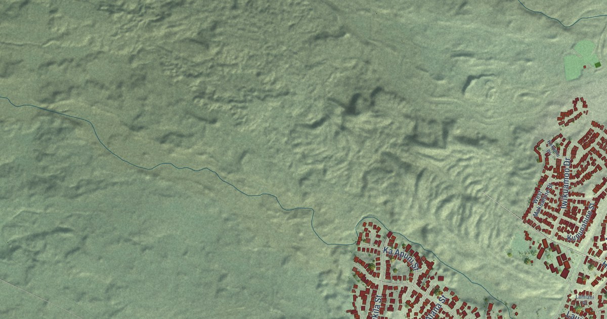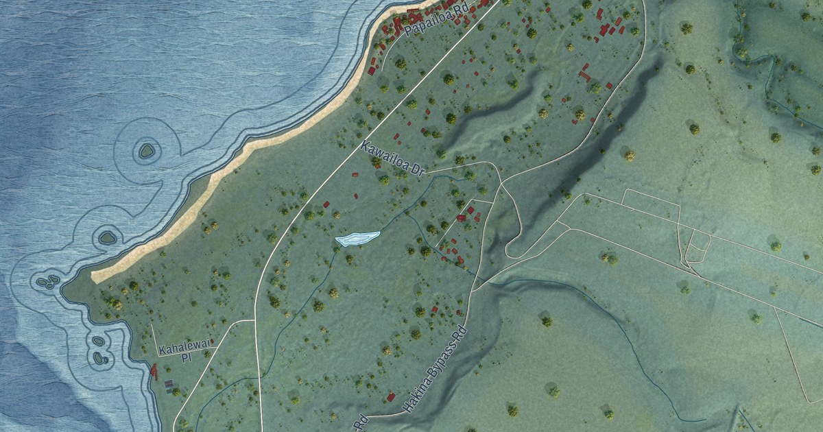
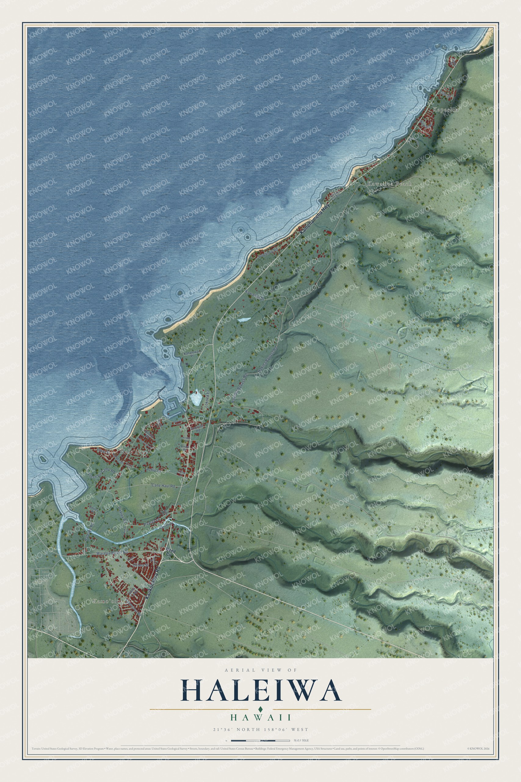
This beautifully detailed map of Haleiwa, Hawaii was created in 2026 using aerial imagery combined with modern topographical, census, street and landmark data. It's a modern aerial view of Haleiwa in Honolulu County, Hawaii, that combines modern data with a vintage aesthetic. The roads feature printed names, and if you look closely you can find your exact house accurately shown in its correct location.
Explore an aerial view of Haleiwa, Hawaii
On this map you'll find Kapaeloa, Kamoʻoloa, Kawailoa Beach, Haleʻiwa, Kaukonahua Road, Kamehameha Highway, Haleiwa Bypass Road, Fresh Air Camp Road, Haleiwa Road, Cane Haul Road, Waialua Beach Road, Paalaa Lane, and more. Each red shape is a building, so zoom in on the preview and look for yours.
Here is a piece of Haleiwa history. The Haleʻiwa Hotel was built at the end of the Oʻahu Railway and Land Company line, to give more people a reason to ride the train. Its name means house of the ʻiwa, or frigate bird, and the hotel made the name so well known that it stayed with the community around it. Ben Dillingham built the hotel, and its first manager was Curtis Iaukea, who had been chamberlain to King Kalākaua's royal household. That's from the Images of Old Hawaii blog.
Haleiwa is a community in Honolulu County. The Census Bureau counted 4,941 people here in 2020.
Take a closer look at the Haleiwa map
Names on this map
These names are printed on this map.
Places: Kapaeloa, Kamoʻoloa, Kawailoa Beach and Haleʻiwa.
Streets and roads: Kaukonahua Road, Kamehameha Highway, Haleiwa Bypass Road, Fresh Air Camp Road, Haleiwa Road, Cane Haul Road, Waialua Beach Road, Paalaa Lane, Paalaa Road, Hakina Bypass Road, Papailoa Road, Kawailoa Drive.
More street names, A to Z
Achiu Lane, Aiau Lane, Alena Loop, Amara Road, Aukai Lane, Chun Lane, Emerson Road, Haleiwa Loop, Ikuwai Place, Iliohu Place, Kaalaea Loop, Kaamooloa Road, Kahalewai Place, Kaiaka Street, Kam Highway, Kewalo Lane, Kilioe Place, Lokoea Place, Naoiwi Lane, Niuula Road, Oliana Place, Oliana Street, Pikai Street, Pohaku Loa Way, Smiley Place, Tutu Street, Walikanahele Road, Wanini Street, Weed Circle.
See it on a wall
The Haleiwa map as a framed print. Swipe for more.


Created by KNOWOL in 2026. The buildings are small red shapes, the roads carry their printed names, and shaded relief shows the shape of the land. The title panel reads "AERIAL VIEW OF HALEIWA, HAWAII" with 21°36' NORTH 158°06' WEST.
It suits a den, a classroom or a front hall, and it makes a gift for anyone with Haleiwa roots. Open the preview and find the block you know. See sizes and frames for the Haleiwa map.