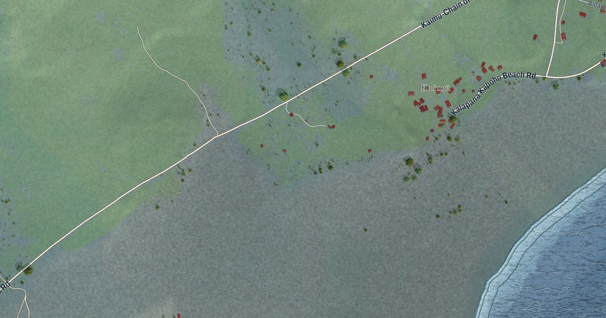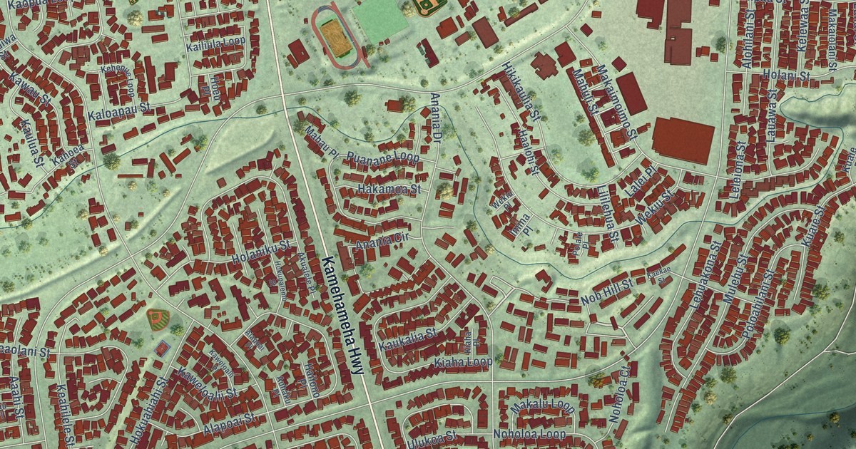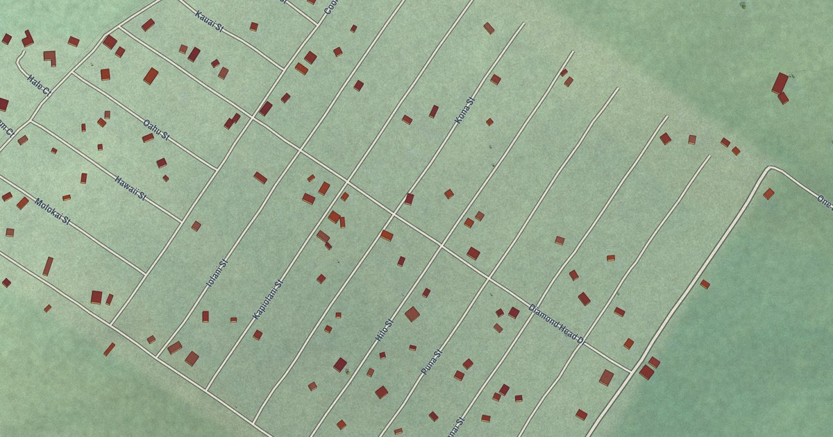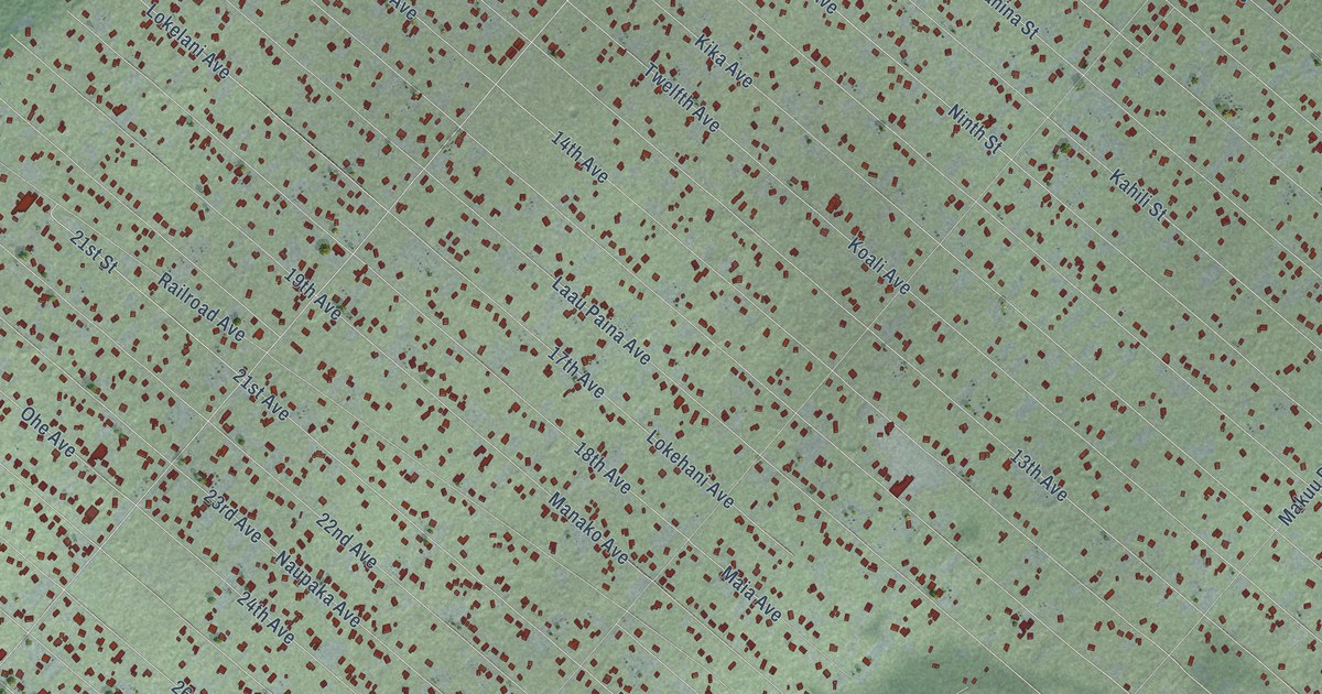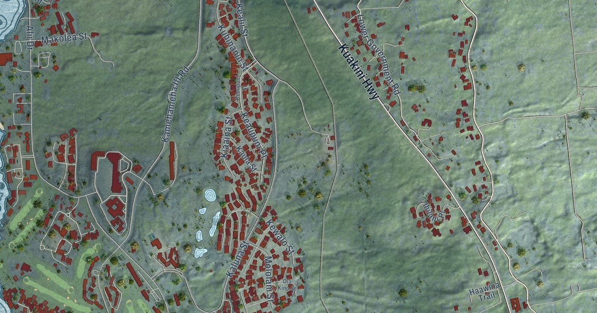
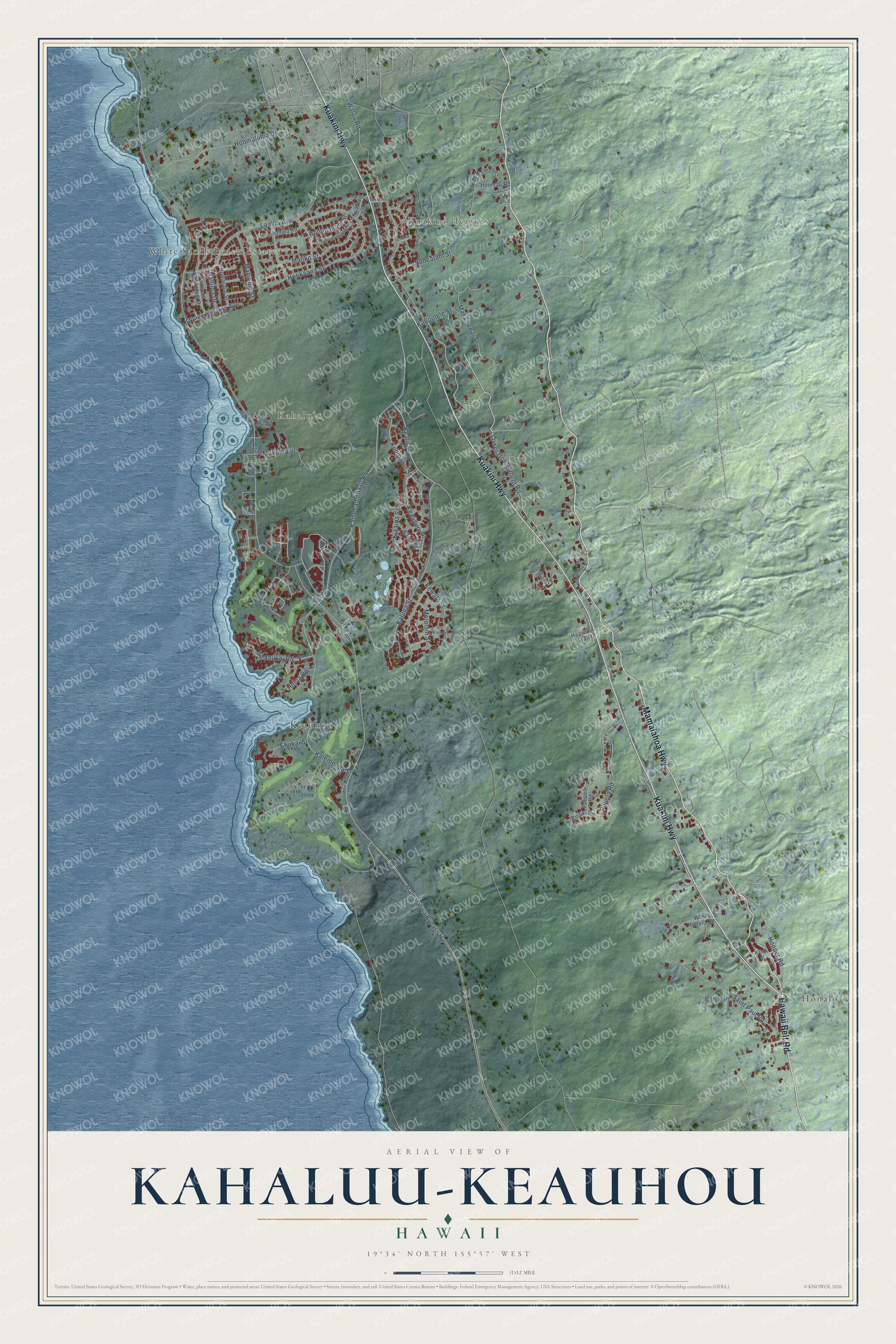
This beautifully detailed map of Kahaluu-Keauhou, Hawaii was created in 2026 using aerial imagery combined with modern topographical, census, street and landmark data. It's a modern aerial view of Kahaluu-Keauhou in Hawaii County, Hawaii, that combines modern data with a vintage aesthetic. The roads feature printed names, and if you look closely you can find your exact house accurately shown in its correct location.
Explore an aerial view of Kahaluu-Keauhou, Hawaii
On this map you'll find Kuakini Heights, White Sands Beach Estates, Kahaluʻu, Honalo, Keauhou, Mamalahoa Highway, Kuakini Highway, Hawaii Belt Road, Walua Road, Lower Government Road, Kamehameha III Road, Kealii Street, and more. Each red shape is a building, so zoom in on the preview and look for yours.
Kahaluu-Keauhou has a story worth telling. Kamehameha III, also known as Kauikeaouli, was born at Keauhou. He ruled the Kingdom of Hawaii for thirty years, from 1825 to 1854, and the site of his birth is marked by a boulder now known as the Kauikeaouli Stone. On March 17, 1914, the Daughters of Hawaii marked the hundredth anniversary of his birth by setting a bronze tablet on the stone. Queen Liliuokalani and Prince Kuhio took part in the ceremony. That's from the National Register of Historic Places.
Kahaluu-Keauhou is a community in Hawaii County. The Census Bureau counted 4,778 people here in 2020.
Take a closer look at the Kahaluu-Keauhou map
Names on this map
These names are printed on this map.
Places: Kuakini Heights, White Sands Beach Estates, Kahaluʻu, Honalo and Keauhou.
Streets and roads: Mamalahoa Highway, Kuakini Highway, Hawaii Belt Road, Walua Road, Lower Government Road, Kamehameha III Road, Kealii Street, Hooper Road, Alii Drive, Mamalahoa Bypass Highway, Kaluna Street, Laaloa Avenue.
More street names, A to Z
'Ohi'a 'Ai Place, Akoni Drive, Ehukai Street, Emalia Place, Haawina Trail, Holomakani Street, Holua Road, Hookaana Street, Hoolaupai Street, Hoomaluhia Drive, Hoomau Road, Hoomohala Road, Ihilani Place, Kahaluu Road, Kahili Drive, Kahoolele Street, Kaleiopapa Street, Kalelei Street, Kaula Street, Keaupuni Place, Keaupuni Street, Kewalo Street, Kiaaina Street, Kualono Street, Kuhinanui Street, Mahiai Place, Mahiehie Street, Makenawai Street, Makolea Street, Maliko Street, Manukai Road, Manukai Street, Mololani Street, Naniloa Drive, Nohealani Street, Ola Kino Street, Paulina Place, Princess Keelikolani Drive, Puuiki Road, Puuloa Road, Puupele Road, Queen Kalama Avenue, Saint Paul Road, Waiaea Road, West Honalo Road.
See it on a wall
The Kahaluu-Keauhou map as a framed print. Swipe for more.


Created by KNOWOL in 2026. The buildings are small red shapes, the roads carry their printed names, and shaded relief shows the shape of the land. The title panel reads "AERIAL VIEW OF KAHALUU-KEAUHOU, HAWAII" with 19°34' NORTH 155°57' WEST.
It looks right in a kitchen, an office or a den, and it's a gift for anyone who grew up in Kahaluu-Keauhou or moved away. Open the preview and find your street. See sizes and frames for the Kahaluu-Keauhou map.