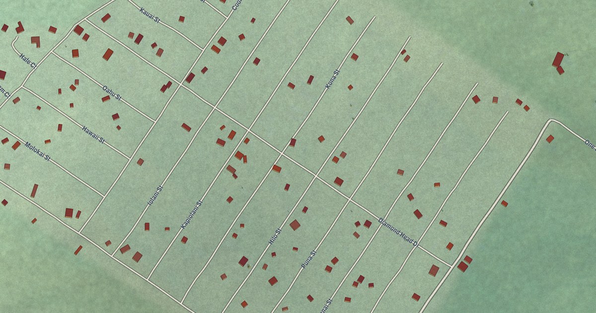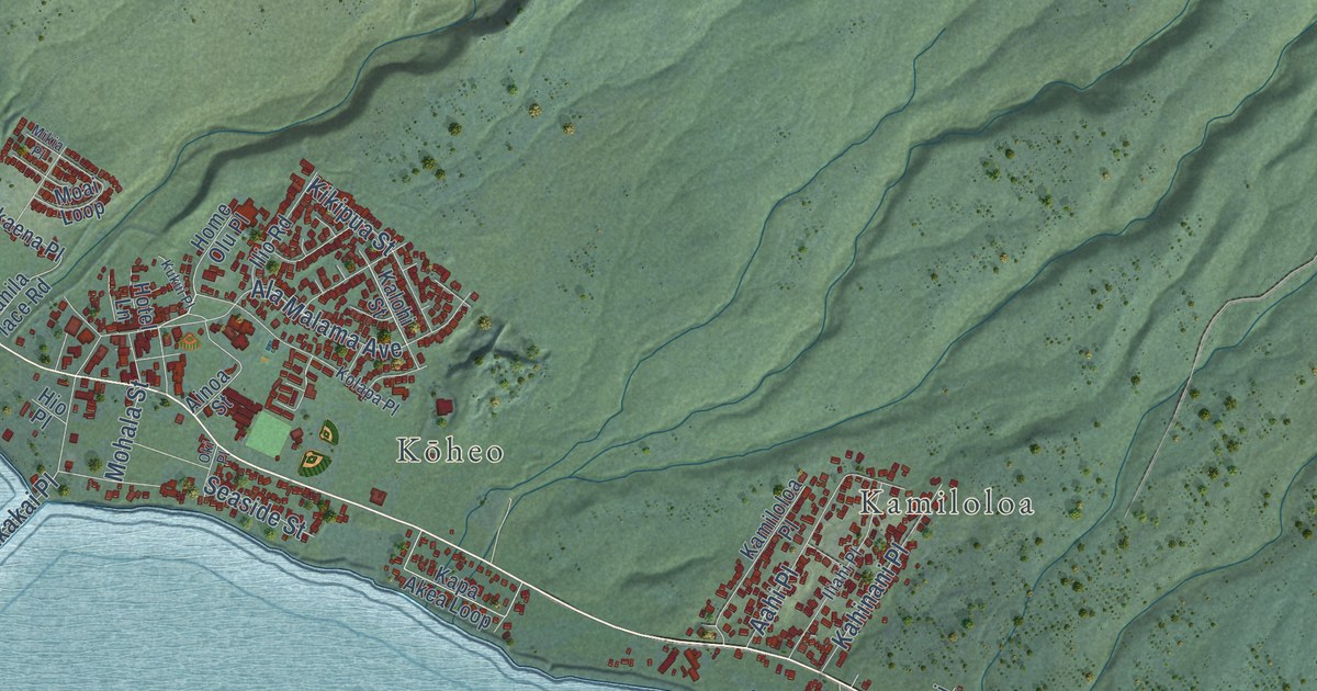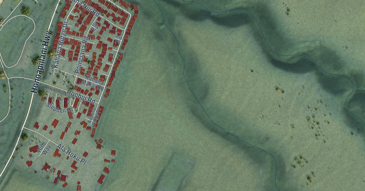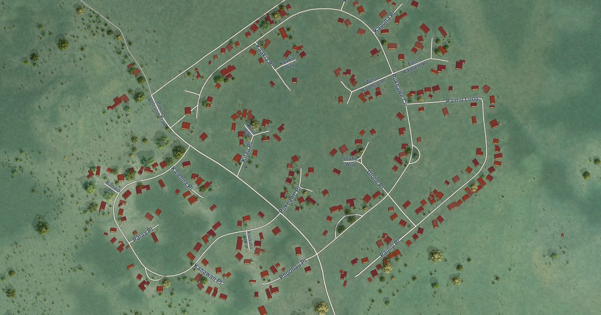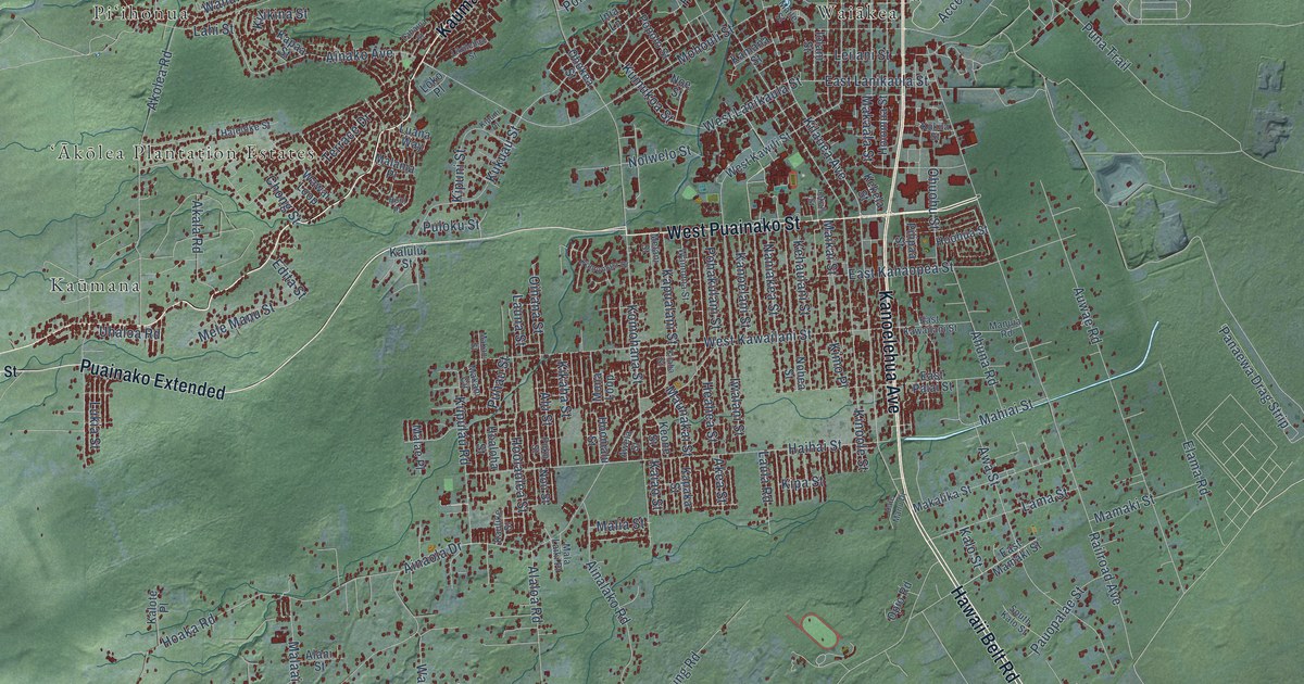
This beautifully detailed map of Hilo, Hawaii was created in 2026 using aerial imagery combined with modern topographical, census, street and landmark data. It’s a one-of-a-kind view of Hilo that combines accurate data with a vintage aesthetic. The map shows every building in its true location, many of the roads carry their names, and the shaded topographic relief shows the shape of the land.
Explore an aerial view of Hilo, Hawaii
On the map you’ll find Downtown Hilo, Keaukaha, Makaokū, Puʻuʻeo, Kaūmana, Piʻihonua, Waiākea, and ʻĀkōlea Plantation Estates, along with Hawaii Belt Road, Kamehameha Avenue, West Puainako Street, Kanoelehua Avenue, and more. If you look closely you can even find your house accurately drawn in its correct location. Zoom in on the preview to look for yours.
Did you know this piece of Hilo, Hawaii history?
From Imagesofoldhawaii.com: "About the beginning of February, 1842, the Catholic mission was established at Hilo, when Father Heurtel baptized 136-persons, and engaged the new Catholics to erect three grass chapels there and at other points of the district."
Take a closer look at the Hilo map
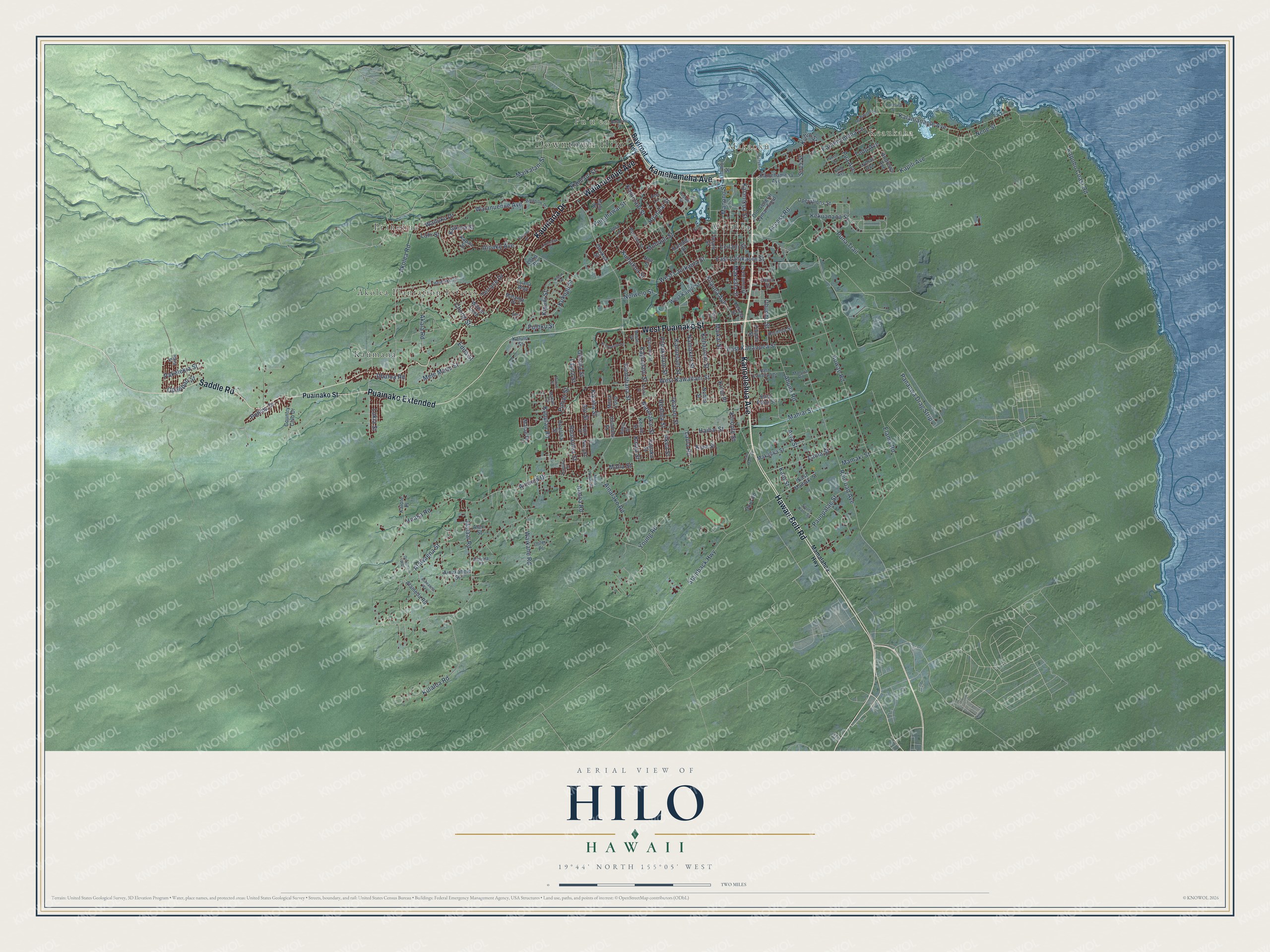
Street and place names on the Hilo, Hawaii map
These names are printed on the map of Hilo, Hawaii.
Places: Downtown Hilo, Keaukaha, Makaokū, Puʻuʻeo, Kaūmana, Piʻihonua, Waiākea and ʻĀkōlea Plantation Estates.
Streets and roads: Hawaii Belt Road, Kamehameha Avenue, West Puainako Street, Kanoelehua Avenue, Kaumana Drive, Puainako Extended, Saddle Road, Waianuenue Avenue, Kilauea Avenue, Kalanianaole Avenue, Hualalai Street, Pulima Drive.
More street names, A to Z
Aala Lane, Access Road, Ahuna Road, Ainakahele Street, Ainako Avenue, Ainalako Road, Ainaola Drive, Ainaola Place, Akala Road, Akea Street, Akolea Road, Alaloa Road, Alameda Road, Alani Street, Alawaena Street, Alawaena Way, Alu Street, Andrews Avenue, Apapane Road, Aupuni Street, Auwae Road, Awa Street, Awela Street, Banyan Drive, Bayfront Highway, Chong Street, Country Club Drive, De Lima Way, East Kahaopea Street, East Kawailani Street, East Lanikaula Street, East Mamaki Street, East Palai Street, Edita Street, Elama Road, Haihai Street, Halai Street, Halaulani Place, Haleloke Street, Hale Manu Drive, Hana Street, Heahea Street, Hoaka Road, Hoaloha Street, Holomua Street, Honi Place, Hoohua Street, Hoolaulea Street, Hoomalu Street, Ihilei Place, Inia Lane, Iolani Street, Iwalani Street, Kaiao Street, Kaiulani Street, Kalanikoa Street, Kalo Street, Kalote Place, Kalulu Street, Kamana Street, Kamehameha Lane, Kanoelani Street, Kapaa Street, Kapaka Street, Kapili Avenue, Kapiolani Street, Kapoho Coast Road, Kapualani Street, Kaulike Street, Kehaulani Street, Kekela Street, Kekuanaoa Street, Keone Street, Kikaha Street, Kilaha Street, Kilikina Street, Kimo Place, King Avenue, Kinoole Street, Kipa Street, Kipuni Place, Kipuni Street, Komohana Street, Komomala Drive, Kuhio Street, Kukila Street, Kukuau Street, Kulaloa Road, Kumukoa Street, Kupulau Road, Laehala Street, Lahaina Street, Lahi Street, Lama Street, Laula Road, Launa Street, Leilani Street, Lihiwai Street, Likolehua Street, Lokahi Street, Loko Place, Luana Way, Lukia Street, Lyman Avenue, Mahiai Street, Maikai Street, Maikalani Street, Maile Street, Makaala Street, Makalika Street, Makani Circle, Makani Street, Malaai Road, Malae Place, Mala Laiki Place, Malama Place, Malia Street, Mamaki Street, Mamalahoa Highway, Manono Street, Manuia Road, Maunakai Street, Melani Street, Mele Manu Street, Mohouli Street, Mona Loop, Naniakea Street, Nene Street, Noe Street, Nohea Street, Nolwelo Street, Nou Street, Ohukea Street, Ohuohu Street, Oihana Street, Old General Lyman Field, Opalipali Street, Operations Street, Opio Road, Pakelekia Street, Pakele Lane, Panaewa Drag Strip, Pauopalae Street, Pilipaa Street, Pohakulani Street, Ponahawai Street, Popolo Street, Pua Avenue, Puainako Street, Puhau Street, Puku Street, Puloku Street, Puna Trail, Railroad Avenue, Rainbow Drive, Silva Street, South Kalo Street, Stainback Highway, Terrace Drive, Todd Avenue, Uhaloa Road, Waikahe Road, Wailuku Drive, Wainohia Street, Wawai Loop, West Kawailani Street, West Kawili Street, West Lanikaula Street, Young Road.
See the Hilo, Hawaii map on a wall
The Hilo map as an 18 x 24 inch print in a black frame.

This beautifully detailed map of Hilo makes an attractive addition to your office, library, or den, and it can even be used to teach children the geography and history of the area. It also makes a great gift for someone who left Hilo and still calls it home. When you’re done exploring, click here to get your copy of the Hilo map.