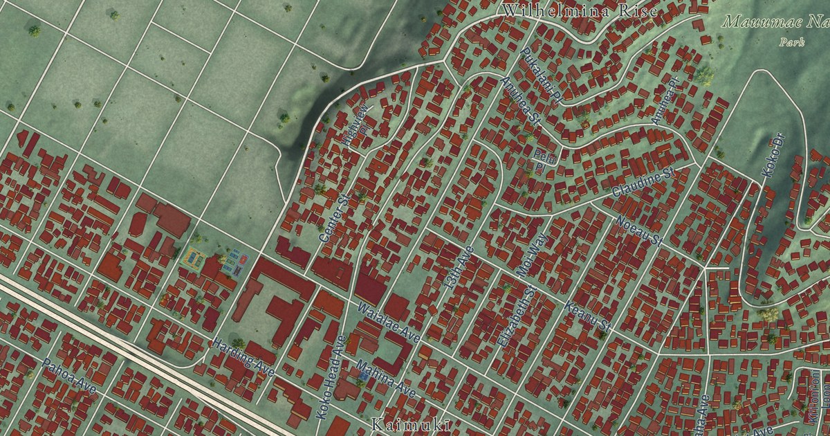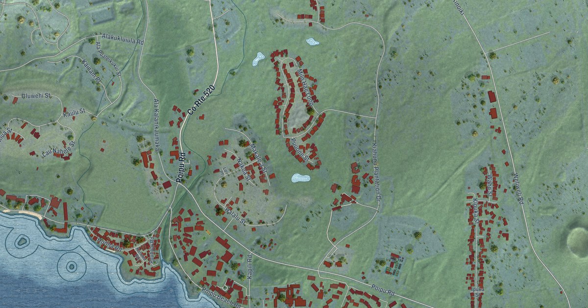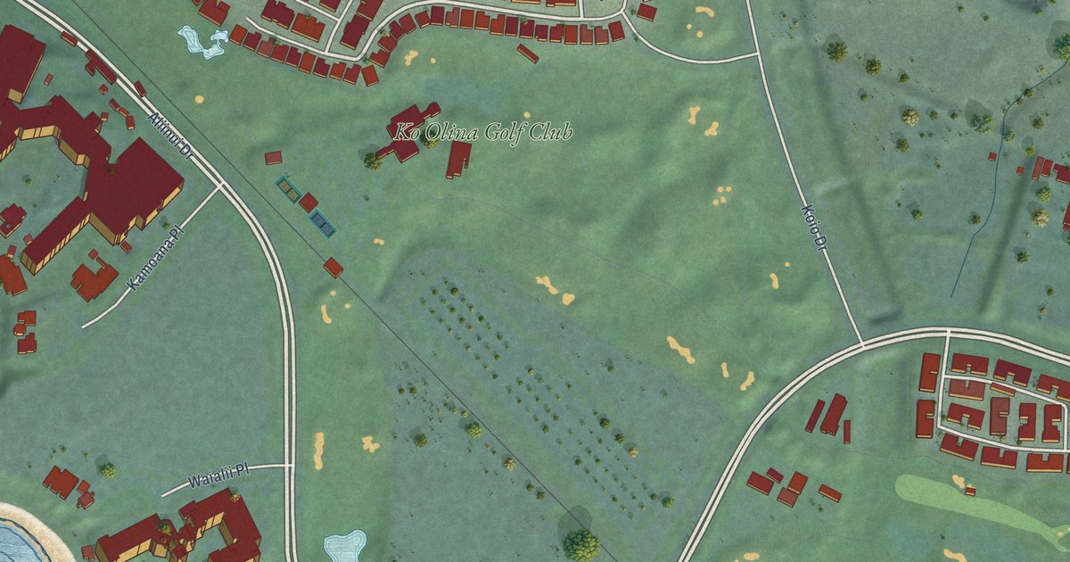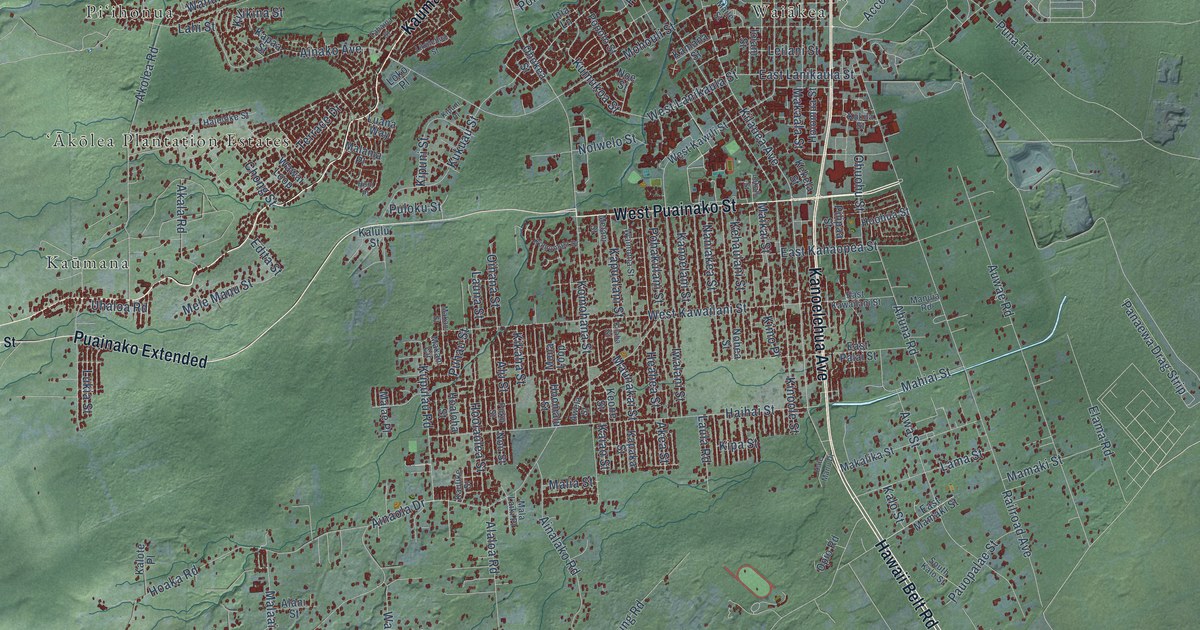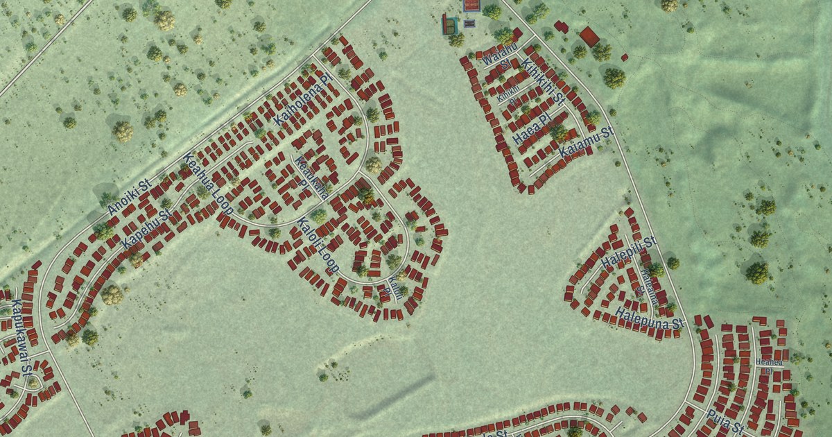
This beautifully detailed map of Royal Kunia, Hawaii was created in 2026 using aerial imagery combined with modern topographical, census, street and landmark data. It’s a one-of-a-kind view of Royal Kunia that combines accurate data with a vintage aesthetic. The map shows every building in its true location, many of the roads carry their names, and the shaded topographic relief shows the shape of the land.
Explore an aerial view of Royal Kunia, Hawaii
On the map you’ll find Village Park, along with Kunia Road, Anonui Street, Leia Street, Kupuna Loop, Kaaholo Street, Anoiki Street, Kupuohi Street, Eleu Street, Heahea Street, Naval Access Road, Kaaka Street, and more. If you look closely you can even find your house accurately drawn in its correct location. Zoom in on the preview to look for yours.
Take a closer look at the Royal Kunia map
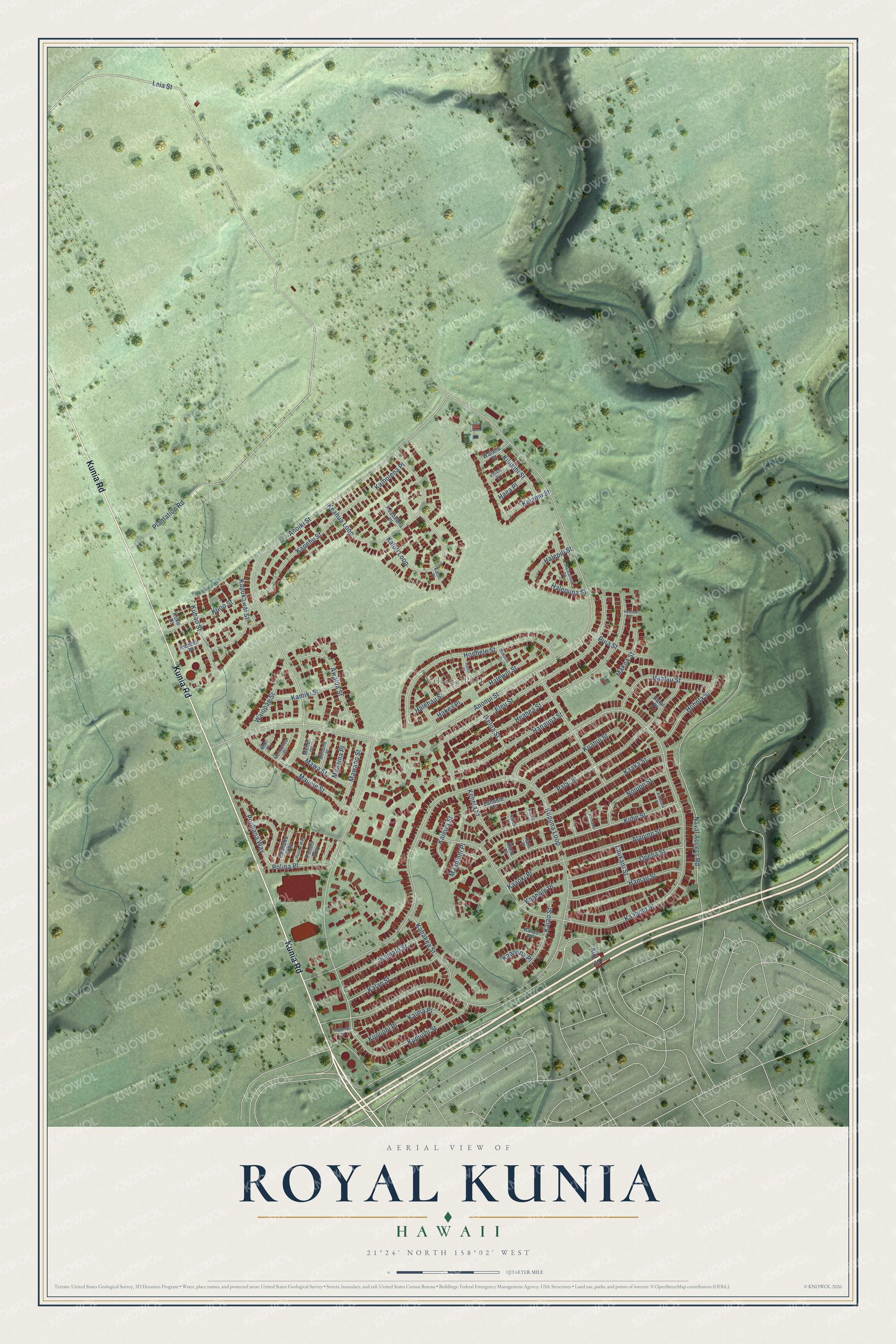
Street and place names on the Royal Kunia, Hawaii map
These names are printed on the map of Royal Kunia, Hawaii.
Places: Village Park.
Streets and roads: Kunia Road, Anonui Street, Leia Street, Kupuna Loop, Kaaholo Street, Anoiki Street, Kupuohi Street, Eleu Street, Heahea Street, Naval Access Road, Kaaka Street, Hoohele Street.
More street names, A to Z
Aiki Street, Alapine Street, Awalua Street, Haalau Street, Haea Place, Hakea Place, Hakunui Street, Haleaina Street, Halehau Street, Halepili Street, Halepuna Street, Halewili Street, Hamau Street, Hanauna Street, Haula Street, Heahea Place, Hohola Street, Ikeloa Street, Kaaholo Place, Kaaka Place, Kaaoki Place, Kaapuna Place, Kahakea Street, Kahue Place, Kaiamu Street, Kaiao Place, Kaiao Street, Kaiewa Street, Kaiholena Place, Kaila Place, Kaima Place, Kalae Street, Kalaiaha Place, Kaloli Loop, Kaloli Place, Kamalo Street, Kamiki Street, Kapehu Street, Kapukawai Street, Kauweke Place, Keahua Loop, Keaukaha Place, Kehela Street, Kihikhi Place, Kihikihi Street, Kime Place, Kime Street, Koke Place, Koniaka Place, Kuahui Street, Kuhao Street, Kuoo Street, Kupueu Place, Kupuohi Place, Lahaole Place, Laukani Street, Maaniani Place, Makoa Street, Mauele Street, Mawaho Street, Mawa Street, Meaaina Place, Mehame Place, Mehe Place, Meheuheu Place, Meki Place, Nolupe Street, Opeha Street, Palai Place, Palai Street, Plantation Road, Polina Place, Poluhi Way, Poohuku Way, Poolau Way, Pouhana Way, Puia Street, Waiahu Street, Waiopae Street.
See the Royal Kunia, Hawaii map on a wall
The Royal Kunia map as an 18 x 24 inch print in a black frame.

This beautifully detailed map of Royal Kunia makes an attractive addition to your office, library, or den, and it can even be used to teach children the geography and history of the area. It also makes a great gift for anyone who grew up in Royal Kunia or moved away. When you’re done exploring, click here to get your copy of the Royal Kunia map.