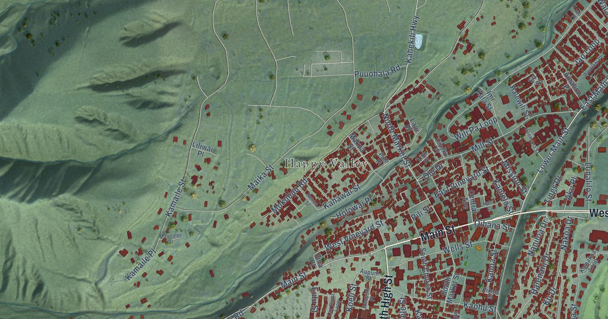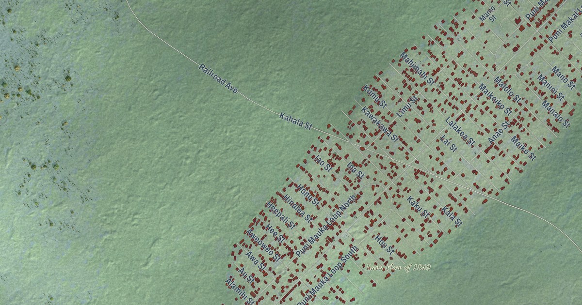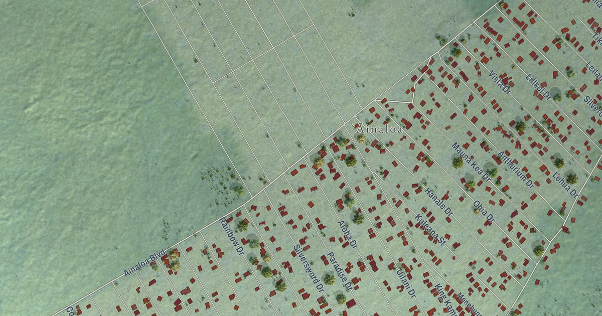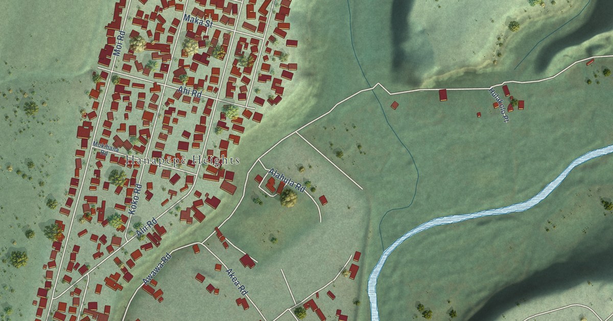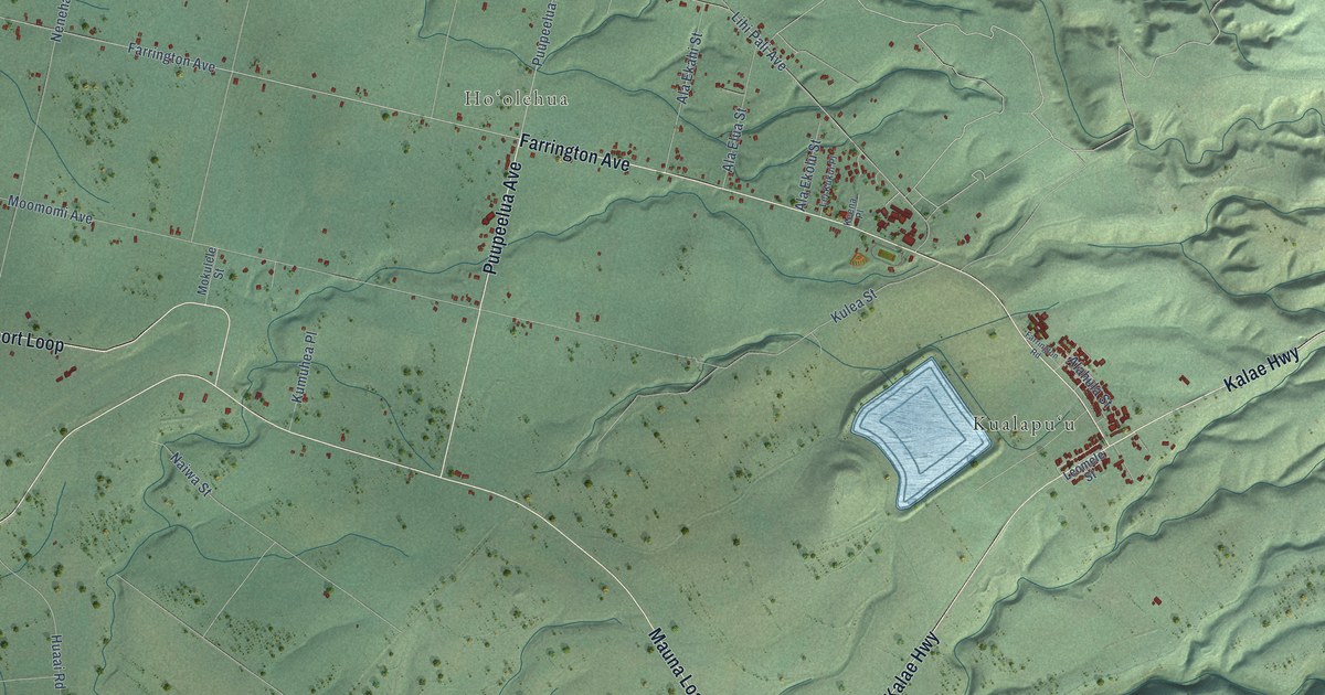
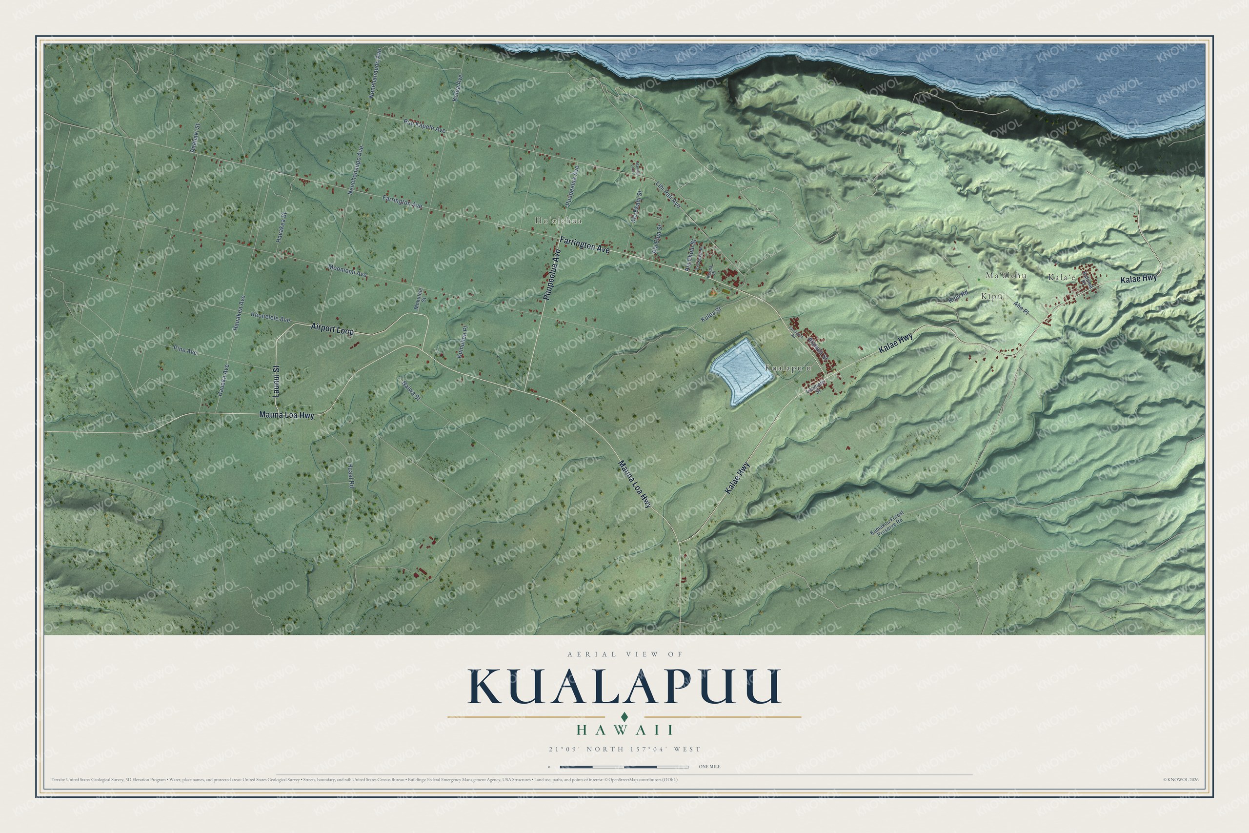
This beautifully detailed map of Kualapuu, Hawaii was created in 2026 using aerial imagery combined with modern topographical, census, street and landmark data. It's a modern aerial view of Kualapuu in Maui County, Hawaii, that combines modern data with a vintage aesthetic. The roads feature printed names, and if you look closely you can find your exact house accurately shown in its correct location.
Explore an aerial view of Kualapuu, Hawaii
On this map you'll find Kalaʻe, Maʻālehu, Kīpū, Hoʻolehua, Kualapuʻu, Launui Street, Kalae Highway, Mauna Loa Highway, Farrington Avenue, Airport Loop, Puupeelua Avenue, Nenehanaudo Avenue, and more. Each red shape is a building, so zoom in on the preview and look for yours.
Here is a piece of Kualapuu history. Rudolph Wilhelm Meyer came to Hawaii from Germany in 1850 and settled on Molokai in 1853. His sugar mill, which ground cane from 1876 to 1889, was found in 1978 to be the only site in Hawaii with its 19th century sugar equipment still in place, from an animal-powered cane mill to steam-driven centrifugals. Meyer also held several posts under the Royal Hawaiian government and grew everything from coffee, corn and wheat to taro, potatoes, mangoes and grapes. That's from the National Register of Historic Places.
Kualapuu is a community in Maui County. The Census Bureau counted 2,110 people here in 2020.
Take a closer look at the Kualapuu map
Names on this map
These names are printed on this map.
Places: Kalaʻe, Maʻālehu, Kīpū, Hoʻolehua and Kualapuʻu.
Streets and roads: Launui Street, Kalae Highway, Mauna Loa Highway, Farrington Avenue, Airport Loop, Puupeelua Avenue, Nenehanaudo Avenue, Hauakea Avenue, Alahula Street, Moomomi Avenue, Puu Kapele Avenue, Keonelele Avenue.
More street names, A to Z
Ahe Place, Ala Ekahi Street, Ala Ekolu Street, Ala Elua Street, Anahaki Street, Farrington Road, Hauaka Avenue, Havakea Street, Huaai Road, Kalama Place, Kamakou Forest Preserve Road, Keena Place, Kipu Road, Kolea Avenue, Kulea Street, Kumuhea Place, Lei Kukui Place, Leomele Street, Lihi Pali Avenue, Mamalu Lai Place, Mokulele Street, Naiwa Street, Nenehanaupo Avenue, Pine Avenue.
See it on a wall
The Kualapuu map as a framed print. Swipe for more.


Created by KNOWOL in 2026. The buildings are small red shapes, the roads carry their printed names, and shaded relief shows the shape of the land. The title panel reads "AERIAL VIEW OF KUALAPUU, HAWAII" with 21°09' NORTH 157°04' WEST.
It suits a den, a classroom or a front hall, and it makes a gift for anyone with Kualapuu roots. Open the preview and find the block you know. See sizes and frames for the Kualapuu map.