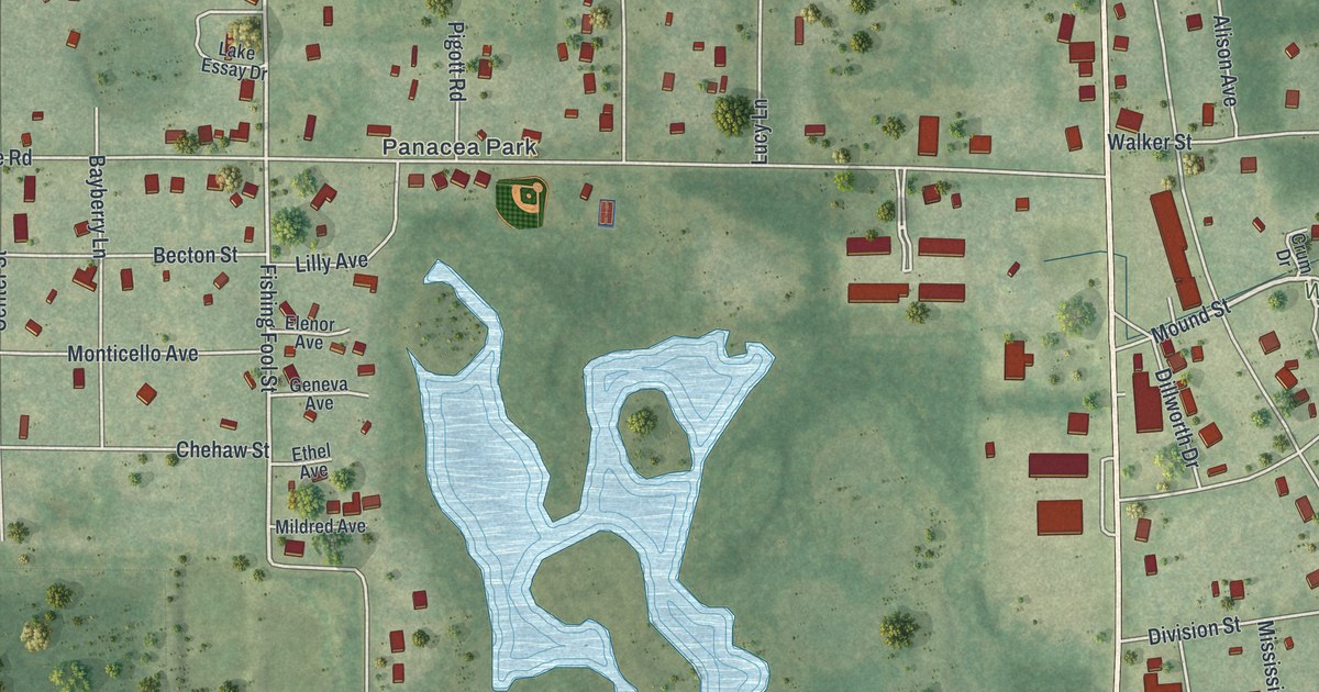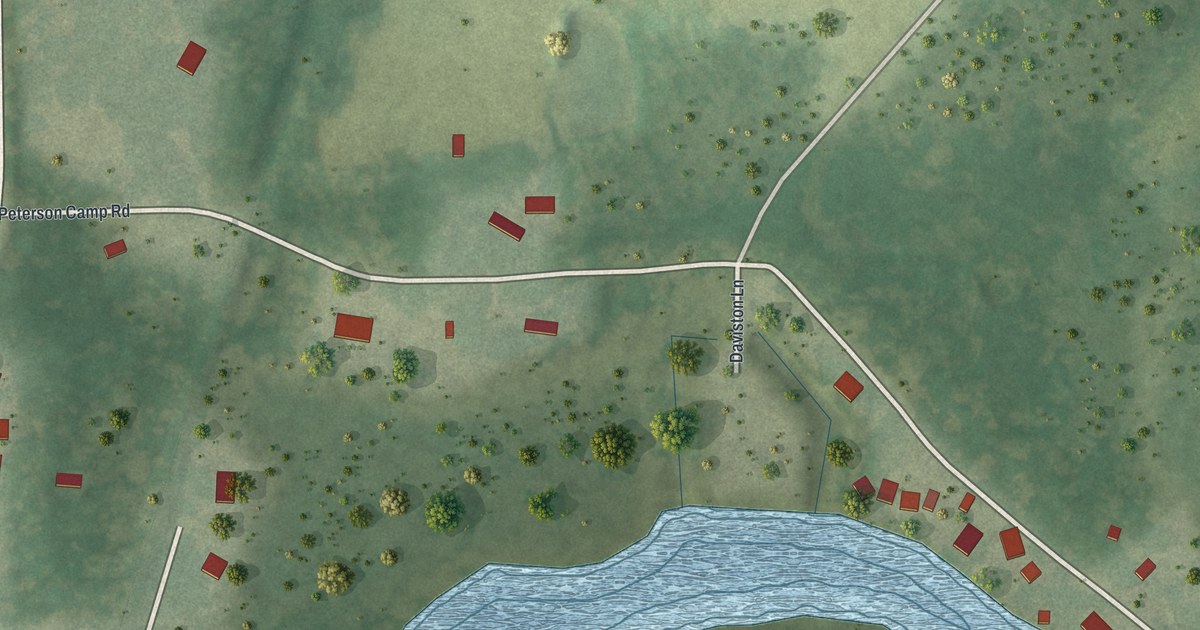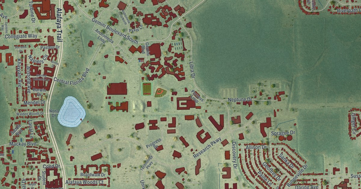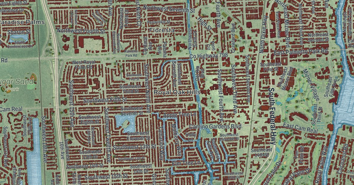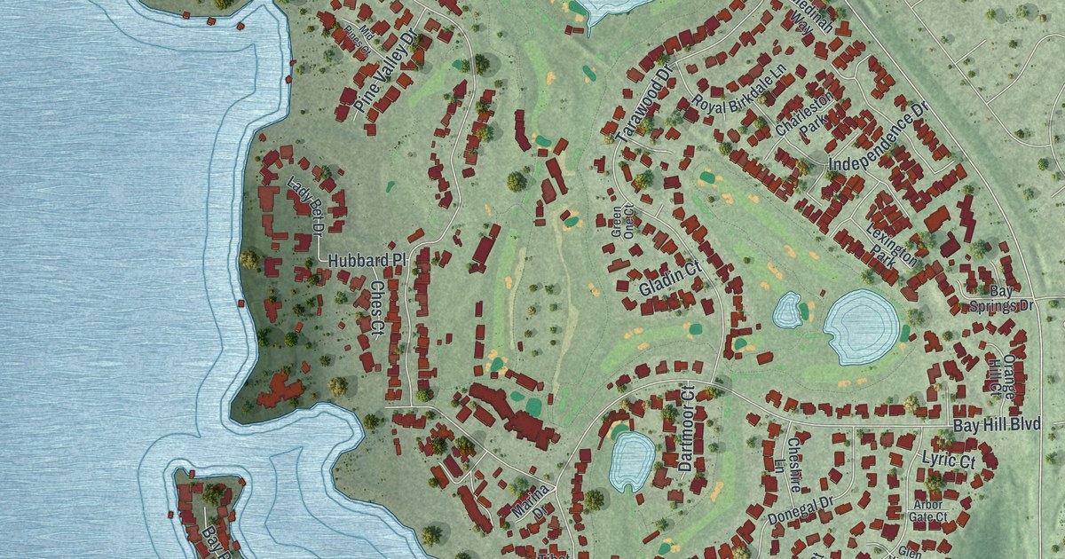
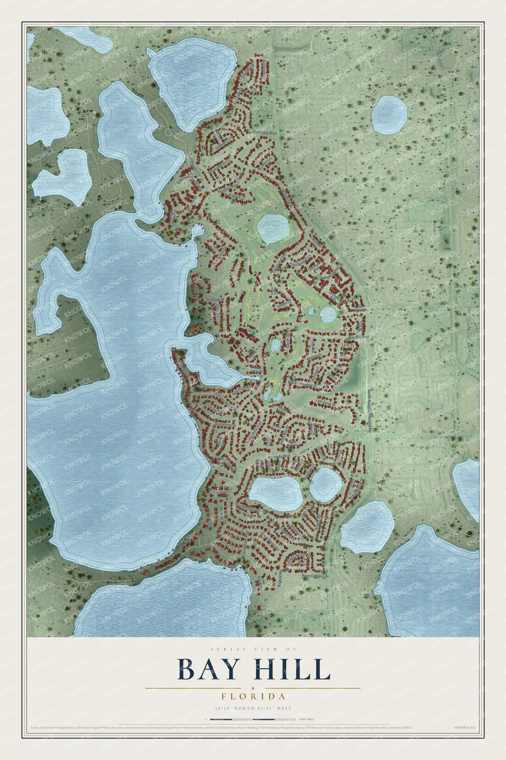
This beautifully detailed map of Bay Hill, Florida was created in 2026 using aerial imagery combined with modern topographical, census, street and landmark data. It's a modern aerial view of Bay Hill in Orange County, Florida, that combines modern data with a vintage aesthetic. The roads feature printed names, and if you look closely you can find your exact house accurately shown in its correct location.
Explore an aerial view of Bay Hill, Florida
On this map you'll find Bay Hill Boulevard, Bay Side Drive, Bay Point Drive, Osprey Isle Lane, North Bay Boulevard, South Apopka Vineland Road, Granada Boulevard, Masters Boulevard, Point Cypress Drive, South Bay Drive, Brookline Drive, Great Heron Circle, and more. Each red shape is a building, so zoom in on the preview and look for yours.
Bay Hill is a community in Orange County. The Census Bureau counted 5,021 people here in 2020. Bay Hill sits about 2 miles northwest of Doctor Phillips, 2 miles south of Windermere and 3 miles southeast of Lake Butler. The map prints the town name in its title panel, with the coordinates below it.
Take a closer look at the Bay Hill map
Names on this map
These names are printed on this map.
Places: Lexington Park and Charleston Park.
Streets and roads: Bay Hill Boulevard, Bay Side Drive, Bay Point Drive, Osprey Isle Lane, North Bay Boulevard, South Apopka Vineland Road, Granada Boulevard, Masters Boulevard, Point Cypress Drive, South Bay Drive, Brookline Drive, Great Heron Circle.
More street names, A to Z
Alegre Circle, Angelica Drive, Arbor Gate Court, Bay Cove Court, Bay Lakes Court, Bay Springs Drive, Bayway Drive, Bentley Park Circle, Bridel Court, Calabria Court, Ches Court, Cheshire Lane, Chianti Drive, Citrus Chase Drive, Classic Court, Cormorant Way, Cote Court, Country Bay Court, Crichton Wood Drive, Cypress Cove Drive, Cypress Reserve Circle, Dartmoor Court, Dollanger Court, Donegal Drive, Dorsel Court, Easterling Drive, Emerington Crescent, Emerson Pointe Way, Esguerra Lane, Foxhall Court, Galleon Court, Galleon Drive, Gillette Court, Gladin Court, Glen View Court, Green One Court, Hidden Bay Lane, Hook Circle, Hubbard Place, Independence Drive, Indian Meadow Street, Islesworth Court, Ivey Hill Court, Jonathan Manor Drive, Jozee Circle, Kilgore Road, Lady Bet Drive, Lago Court, Lake Sheen Court, Lake Tibet Court, Lost Cove Drive, Lyric Court, Lytham Court, Marina Drive, Medinah Way, Mid Pines Court, Orange Hill Court, Pajaro Court, Pine Valley Drive, Reyes Court, Ridge Pine Trail, Royal Birkdale Lane, San Ambrosio Drive, Shawn Park Place, South Park Place, Summer Ridge Place, Tangelo Tree Drive, Tarawood Drive, Tibet Bay Drive, Tulip Court, Turnberry Court, White Ibis Court, Windjammer Lane, Wynfield Court.
See it on a wall
The Bay Hill map as a framed print. Swipe for more.


Created by KNOWOL in 2026. The buildings are small red shapes, the roads carry their printed names, and shaded relief shows the shape of the land. The title panel reads "AERIAL VIEW OF BAY HILL, FLORIDA" with 28°28' NORTH 81°31' WEST.
It suits a den, a classroom or a front hall, and it makes a gift for anyone with Bay Hill roots. Open the preview and find the block you know. See sizes and frames for the Bay Hill map.