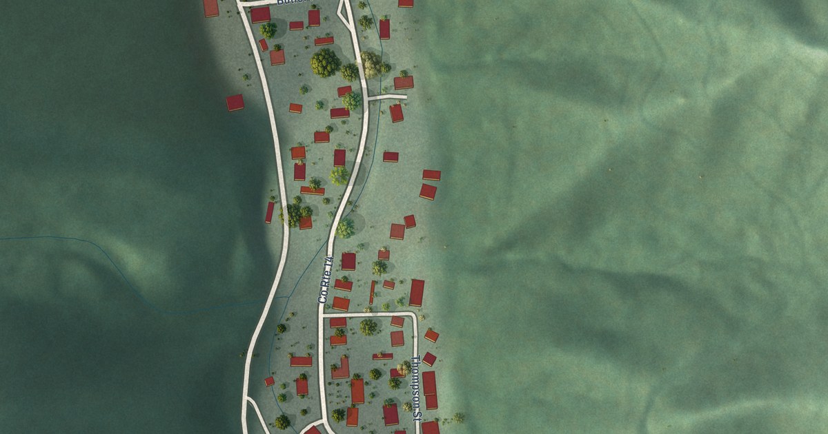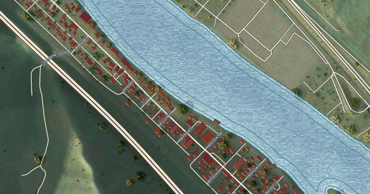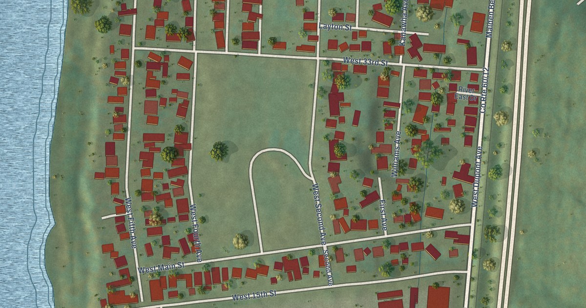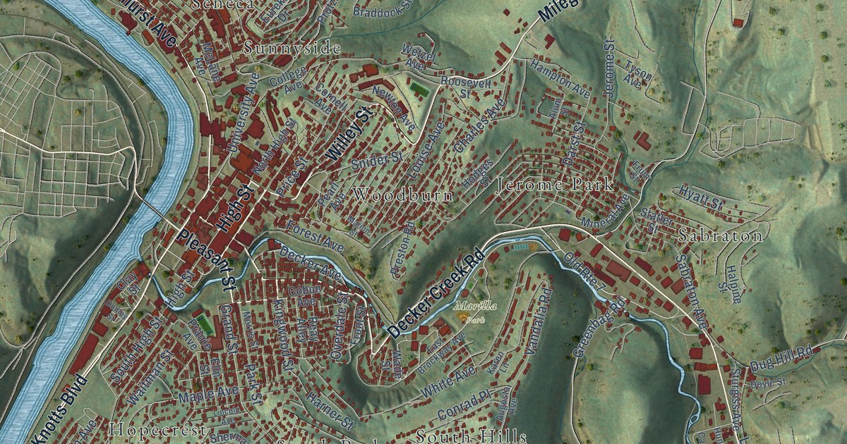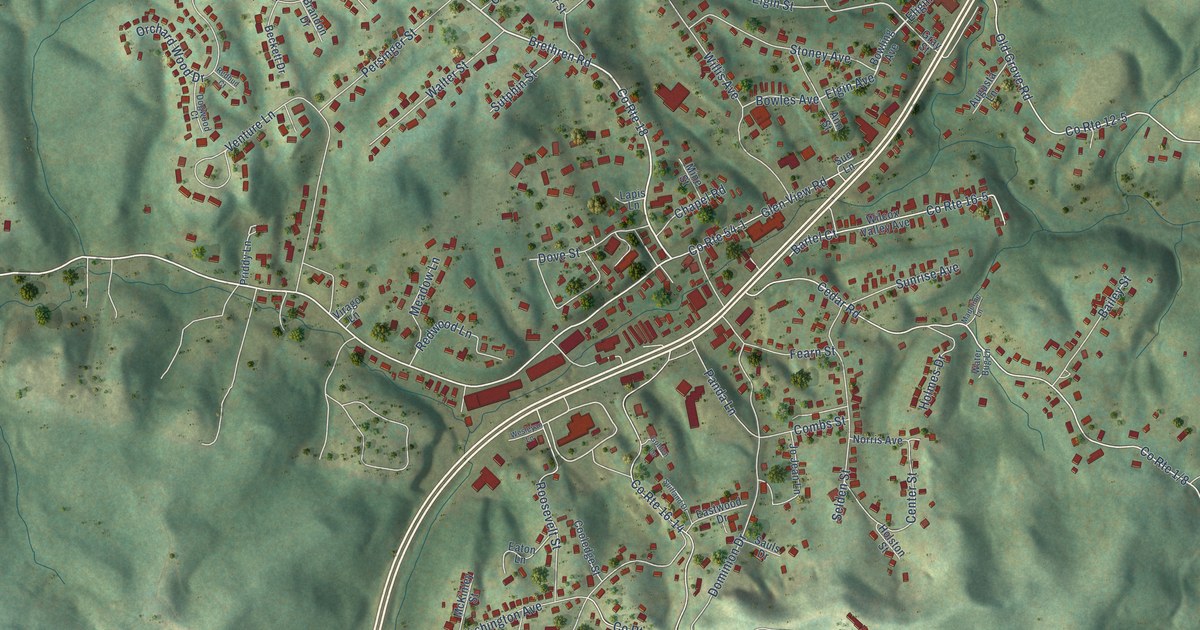
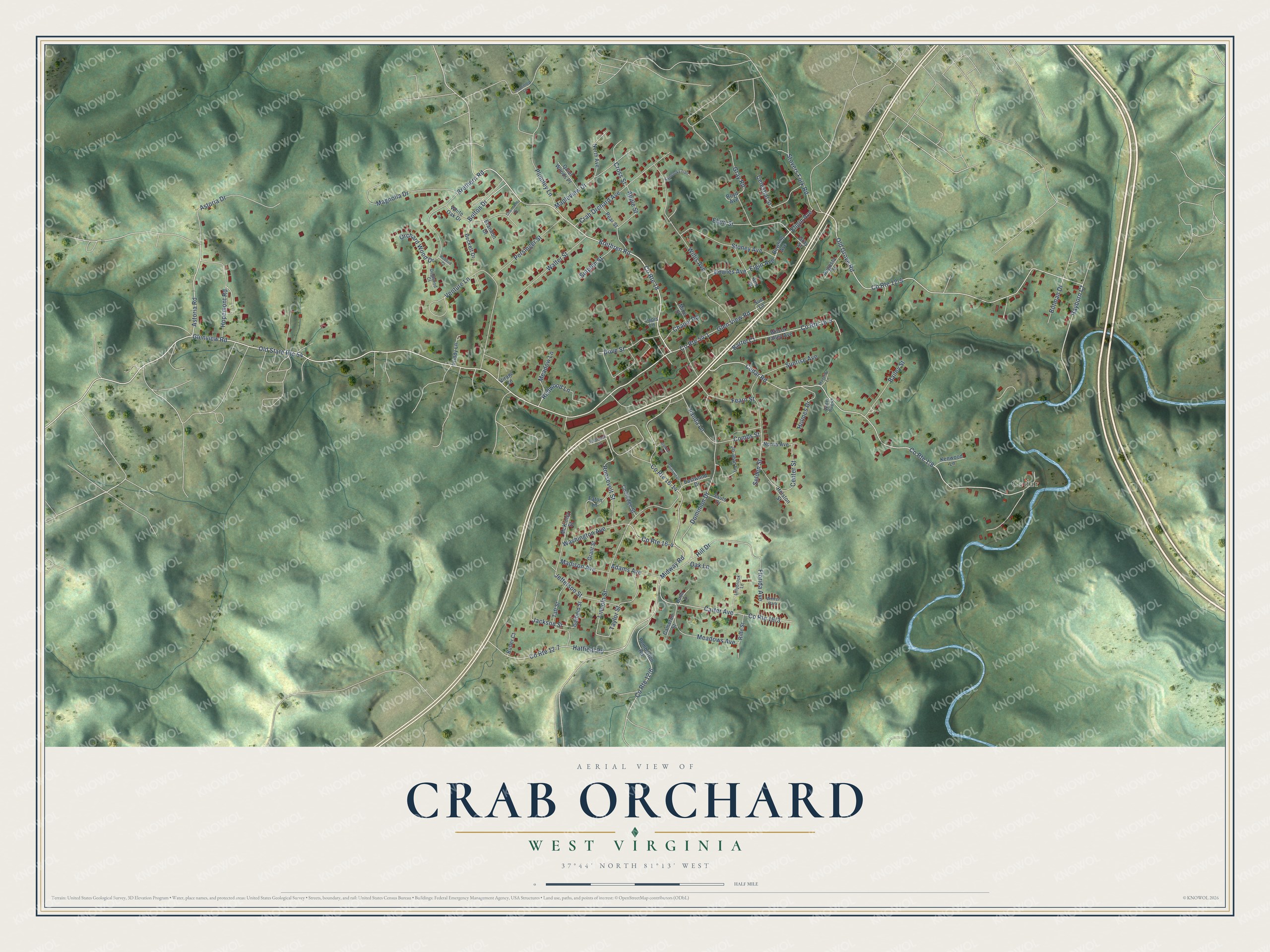
This beautifully detailed map of Crab Orchard, West Virginia was created in 2026 using aerial imagery combined with modern topographical, census, street and landmark data. It's a modern aerial view of Crab Orchard in Raleigh County, West Virginia, that combines modern data with a vintage aesthetic. The roads feature printed names, and if you look closely you can find your exact house accurately shown in its correct location.
Explore an aerial view of Crab Orchard, West Virginia
On this map you'll find Cedar, Brethren Road, Bolton Drive, Brethern Road, Glenview Road, Rayborn Court, Astoria Road, Old Grove Road, Gray Road, Elgin Avenue, Jackson Street, Cedar Road, and more. Each red shape is a building, so zoom in on the preview and look for yours.
Crab Orchard is a community in Raleigh County. The Census Bureau counted 2,416 people here in 2020. Crab Orchard sits about 2 miles west of MacArthur, 2 miles southwest of Mabscott and 3 miles northeast of Sophia. The map prints the town name in its title panel, with the coordinates below it.
Take a closer look at the Crab Orchard map
Names on this map
These names are printed on this map.
Places: Cedar and Winter Park.
Streets and roads: Brethren Road, Bolton Drive, Brethern Road, Glenview Road, Rayborn Court, Astoria Road, Old State Route 54, County Route 18, Old Grove Road, Gray Road, Elgin Avenue, County Route 16-5.
More street names, A to Z
Adams Avenue, Ann Street, Apple Street, Astoria Drive, Augusta Lane, Bailey Street, Bartel Court, Beckett Drive, Botman Drive, Bowles Avenue, Bowling Avenue, Boyd Avenue, Brandon Drive, Bush Lane, Butler Court, Cameron Street, Carter Avenue, Cedar Road, Celestial Street, Center Street, Chambers Drive, Chapel Road, Combs Street, Cooledge Street, County Route 12-5, County Route 12-7, County Route 16-4, County Route 16-14, County Route 54-1, Crab Orchard Avenue, Cross Street, Dogwood Court, Dominion Drive, Dove Street, Eastwood Drive, Eaton Lane, Elgin Street, Eligin Avenue, Fearn Street, Florida Avenue, Garfield Street, Glen View Road, Golden Lane, Grant Street, Gray Street, Hatfield Road, Hill Drive, Holmes Drive, Holston Street, Hopemont Road, Jackson Street, Jefferson Street, Jo Jean Lane, Kamensky Trail, Kenwood Lane, Lapis Lane, Lillybrook Lane, Lincoln Street, Madeline Lane, Madison Avenue, Magnolia Drive, Mapleview Drive, McKinley Street, Meadow Lane, Meadows Avenue, Midway Road, Mine Street, Norris Avenue, North Avenue, Oak Lane, Orchard Wood Drive, Panda Lane, Pear Street, Pemberton Road, Persinger Street, Plumley Lane, Plummleg Lane, Priddy Lane, Quiet Woods Place, Redbud Court, Redwood Lane, Riffe Street, Roosevelt Street, Sauls Drive, Selden Street, Stoney Avenue, Stovers Fork Road, Sue Lane, Suitland Drive, Sunrise Avenue, Sutphin Street, Taft Street, Taylor Street, Venture Lane, Virago Lane, Walter Street, Washington Avenue, Water Bug Lane, Wesleyan Lane, White Oak Drive, Wilcox Valley Avenue, Willis Avenue.
See it on a wall
The Crab Orchard map as a framed print. Swipe for more.


Created by KNOWOL in 2026. The buildings are small red shapes, the roads carry their printed names, and shaded relief shows the shape of the land. The title panel reads "AERIAL VIEW OF CRAB ORCHARD, WEST VIRGINIA" with 37°44' NORTH 81°13' WEST.
It suits a den, a classroom or a front hall, and it makes a gift for anyone with Crab Orchard roots. Open the preview and find the block you know. See sizes and frames for the Crab Orchard map.