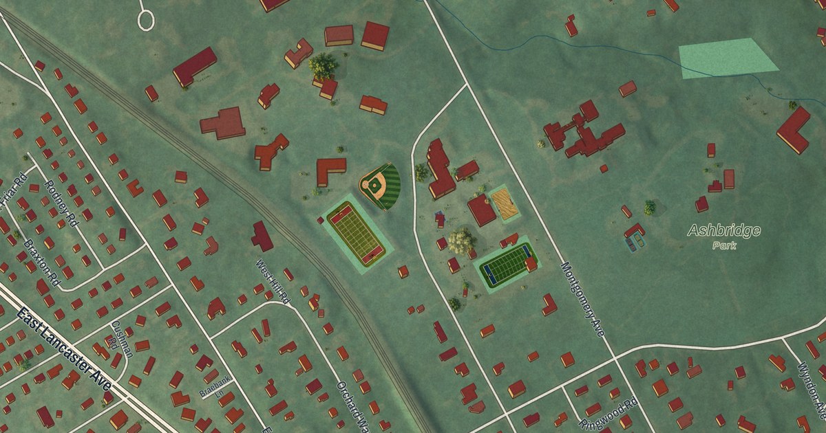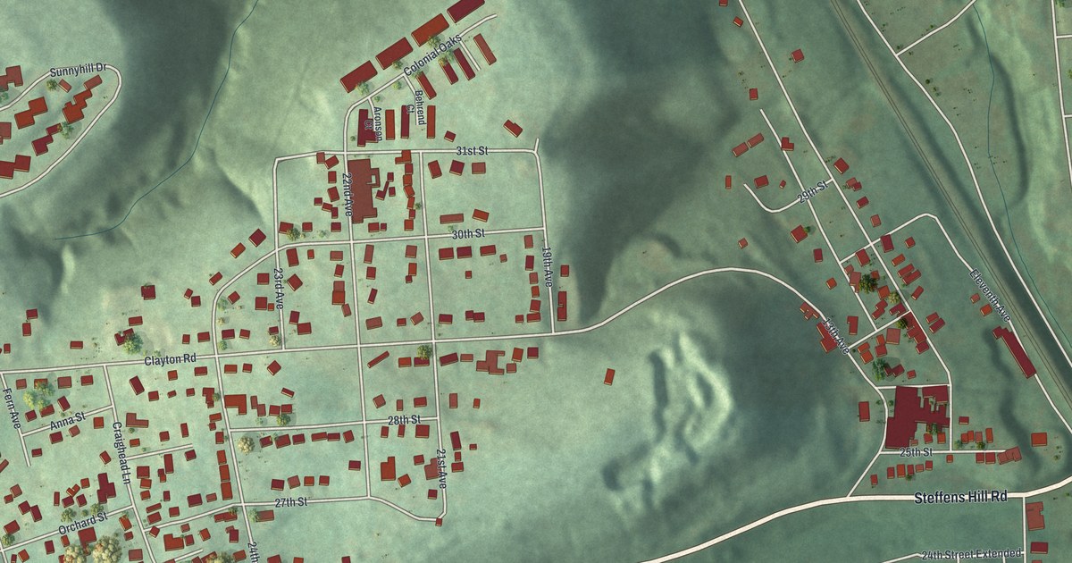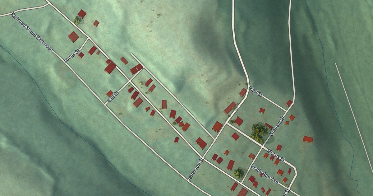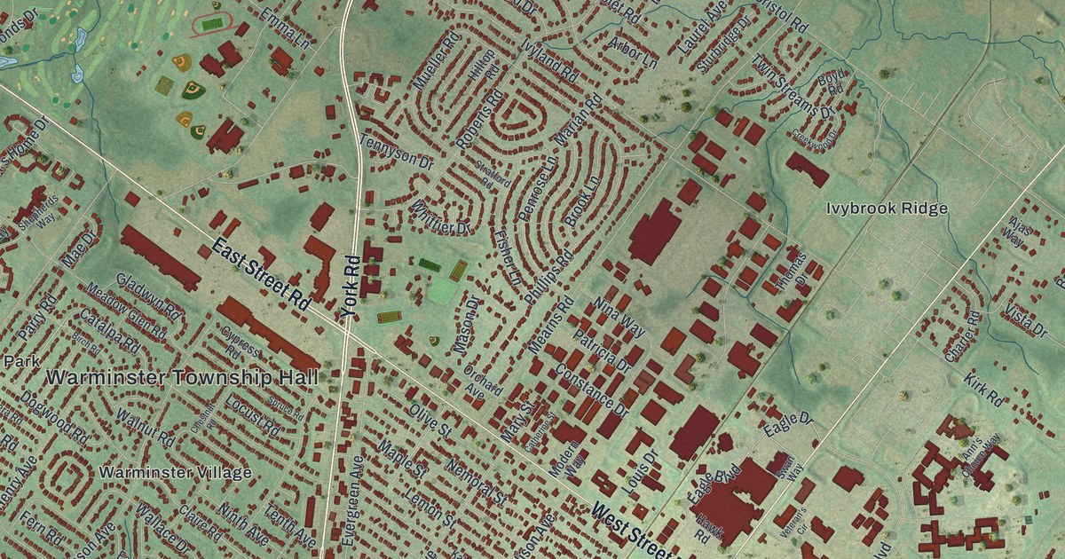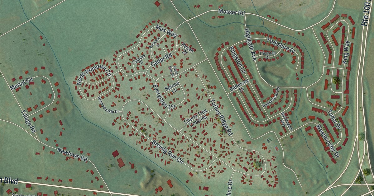
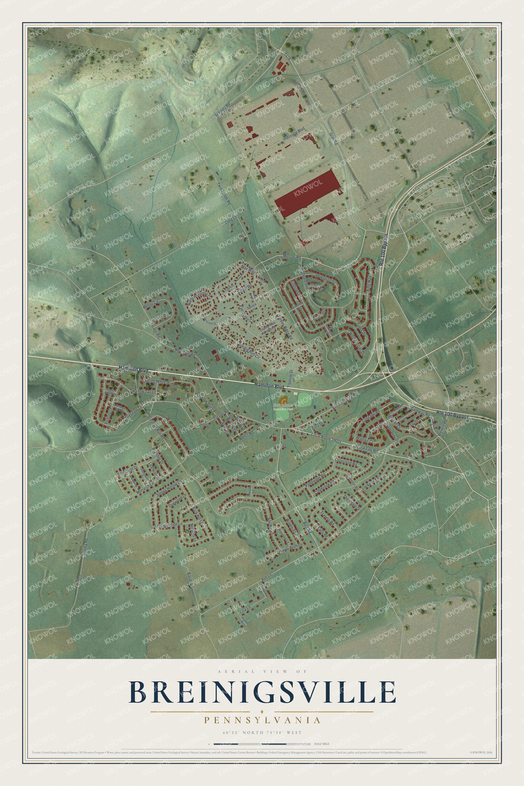
This beautifully detailed map of Breinigsville, Pennsylvania was created in 2026 using aerial imagery combined with modern topographical, census, street and landmark data. It's a modern aerial view of Breinigsville in Lehigh County, Pennsylvania, that combines modern data with a vintage aesthetic. The roads feature printed names, and if you look closely you can find your exact house accurately shown in its correct location.
Explore an aerial view of Breinigsville, Pennsylvania
On this map you'll find Earl Adams Memorial Park, Hamilton Boulevard, Local Route 39021, Weilers Road, Grim Road, Mosser Road, Brookdale Road, Gateway Road, T507, Trexler Road, Breiningsville Road, Schaefer Run Road, and more. Each red shape is a building, so zoom in on the preview and look for yours.
Breinigsville is a community in Lehigh County. The Census Bureau counted 7,495 people here in 2020. Breinigsville sits about 2 miles southwest of Trexlertown, 3 miles west of Ancient Oaks and 3 miles northwest of Alburtis. The map prints the town name in its title panel, with the coordinates below it.
Take a closer look at the Breinigsville map
Names on this map
These names are printed on this map.
Places: Earl Adams Memorial Park.
Streets and roads: Hamilton Boulevard, Route 100 Bypass, Local Route 39021, Weilers Road, Grim Road, Mosser Road, Brookdale Road, Gateway Road, Trexler Road, Breiningsville Road, Schaefer Run Road, Ash Lane.
More street names, A to Z
Amanda Drive, Artisan Court, Avocet Drive, Bacon Lane, Battersby Drive, Bramble Drive, Brandt Drive, Breinig Run Circle, Bridgeton Road, Broadwing Place, Buck Hill Lane, Buckingam Way, Butz Road, Cardinal Drive, Cascade Road, Cedar Road, Cherry Tree Crossing, Colebrook Road, Constitution Lane, Crescent Lane, Cromwell Court, Crossland Road, Cypress Court, Dogwood Lane, Dorney Road, Evergreen Circle, Falls Road, Fox Lane, Fritz Drive, Gateway Drive, Glassywing Place, Hampstead Road, Hazelnut Lane, Highgate Avenue, Holly Blue Way, Honeysuckle Drive, Industrial Boulevard, Jennifer Drive, Kingston Lane, King Way, Leafwing Place, Lisa Lane, Lockwood Road, Long Lane, Max Way, Mayfair Court, Merlot Circle, Monarch Lane, Needles Lane, Newtown Road, North Primrose Circle, Orange Tip Way, Pathfinder Road, Pecan Drive, Putnam Court, Redwood Drive, Saylor Court, Schantz Road, Shallow Tail Lane, Silo Hill Lane, Silverspot Drive, Sleepy Hollow Lane, Spring White Drive, Spruce Lane, Starling Road, Swallow Tail Lane, Thistle Lane, Thorndale Drive, Thornton Drive, Tillage Road, Travers Road, Treeline Drive, Tudor Drive, Turkey Ridge Road, Twin Ponds Road, Viceroy Lane, Waterbury Drive, Wentz Road, Westminster Drive, White Pine Drive, Windmill Lane, Windy Bush Lane, Yorkshire Drive.
See it on a wall
The Breinigsville map as a framed print. Swipe for more.


Created by KNOWOL in 2026. The buildings are small red shapes, the roads carry their printed names, and shaded relief shows the shape of the land. The title panel reads "AERIAL VIEW OF BREINIGSVILLE, PENNSYLVANIA" with 40°32' NORTH 75°38' WEST.
Hang it in the hallway, the office or the cabin, or give it to someone who left Breinigsville and still calls it home. Open the preview and look for a street you know. See sizes and frames for the Breinigsville map.