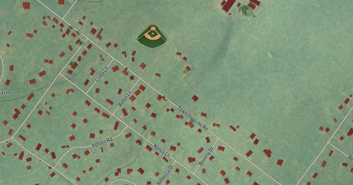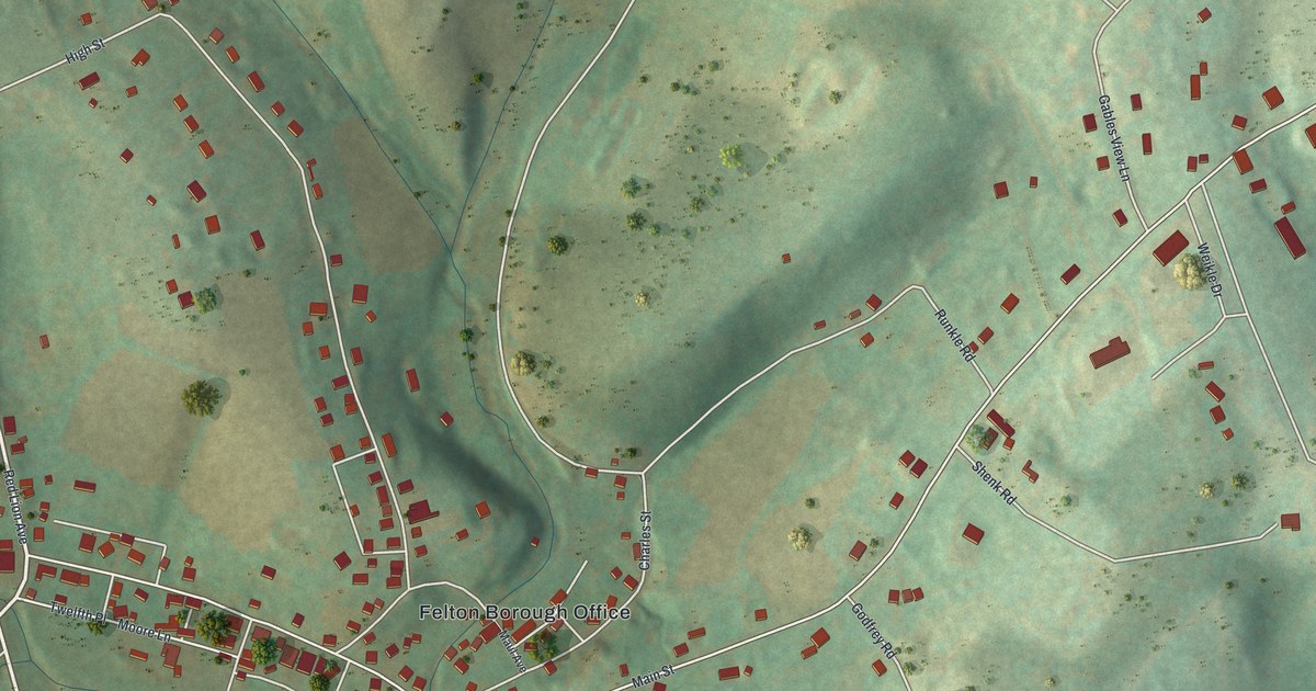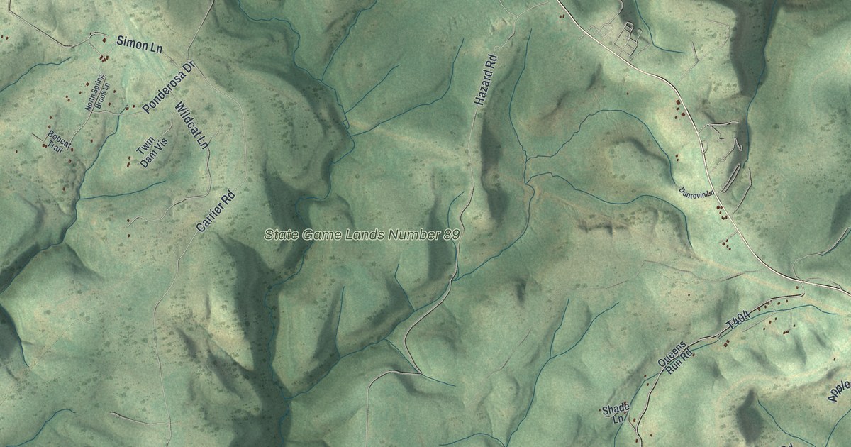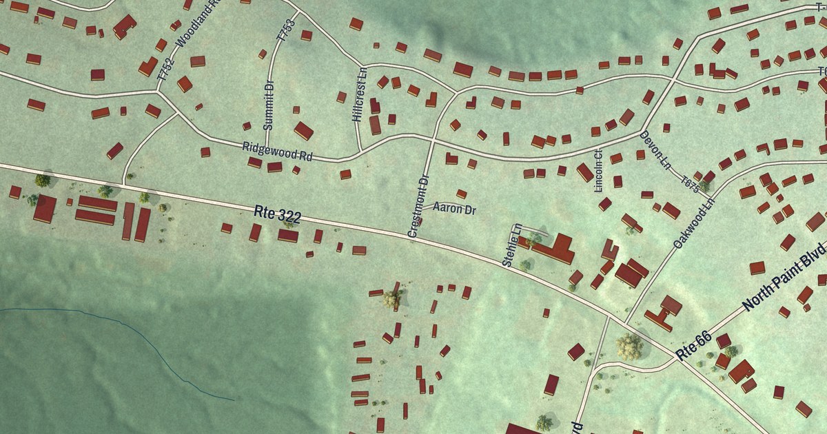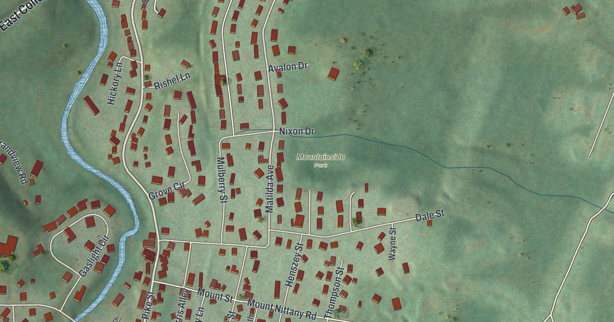
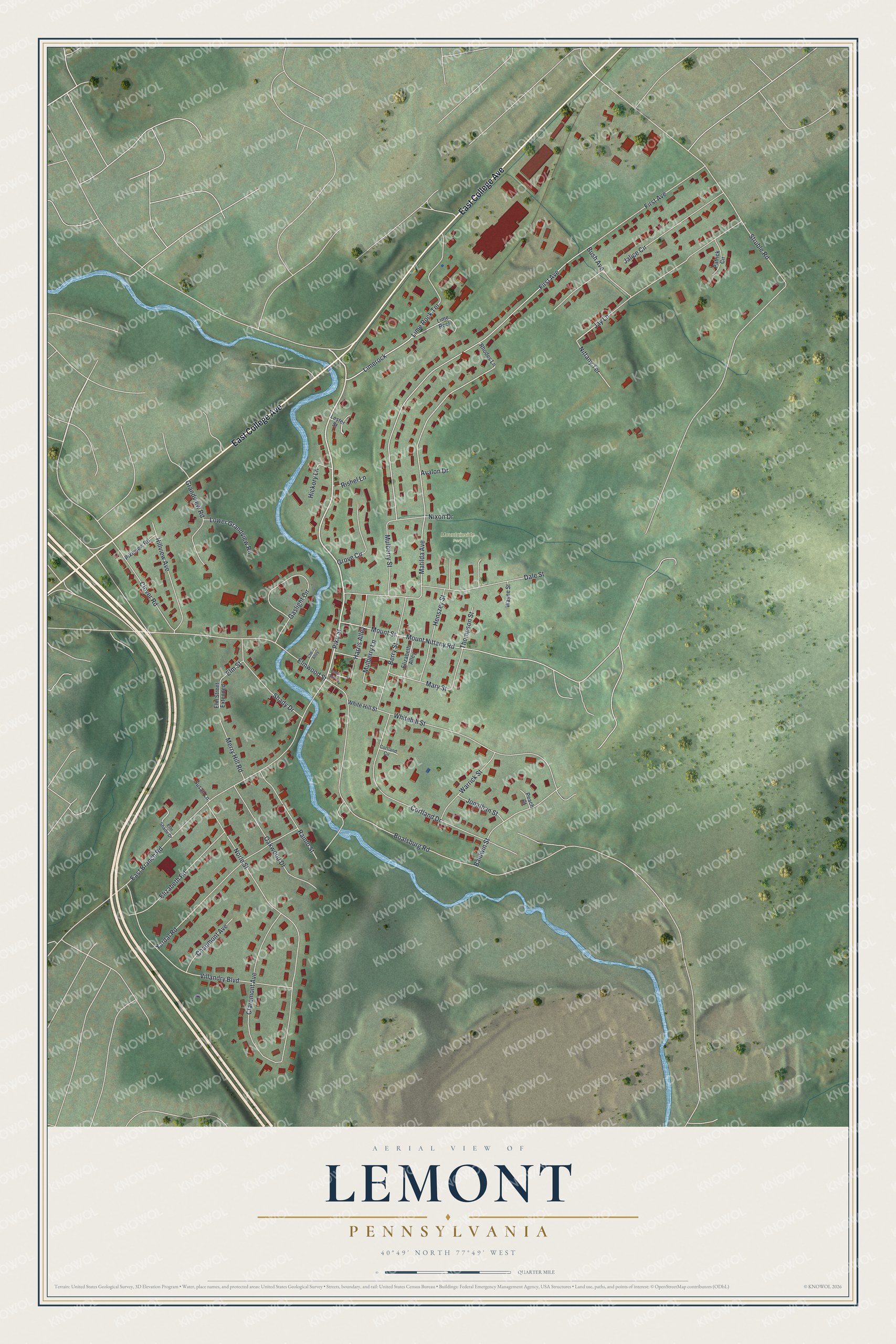
This beautifully detailed map of Lemont, Pennsylvania was created in 2026 using aerial imagery combined with modern topographical, census, street and landmark data. It’s a one-of-a-kind view of Lemont that combines accurate data with a vintage aesthetic. The map shows every building in its true location, many of the roads carry their names, and the shaded topographic relief shows the shape of the land.
Explore an aerial view of Lemont, Pennsylvania
On the map you’ll find Mountainside Park and Limerock, along with East College Avenue, Pike Street, Matilda Avenue, First Avenue, Struble Road, East Branch Road, Norle Street, Boalsburg Road, Villandry Boulevard, Whitehill Street, and more. Lemont sits about 3 miles northeast of State College, 3 miles northwest of Boalsburg and 4 miles east of Toftrees. If you look closely you can even find your house accurately drawn in its correct location. Zoom in on the preview to look for yours.
Take a closer look at the Lemont map
Names on this map
These names are printed on this map.
Places: Mountainside Park.
Streets and roads: East College Avenue, Pike Street, Limerock, Matilda Avenue, First Avenue, Struble Road, East Branch Road, Norle Street, Boalsburg Road, Villandry Boulevard, Whitehill Street, Lime Rock Terrace.
More street names, A to Z
Avalon Drive, Baldwin Street, Berry Street, Bolar Alley, Bush Avenue, Chaumont Avenue, Cherry Alley, Claremont Avenue, Clover Road, Cortland Circle, Cortland Drive, Dale Street, Elizabeth Alley, Elizabeth Road, Elm Shade Drive, Elm Street, Elm Street Extended, Elmwood Street, Gaslight Circle, Grandview Road, Grove Circle, Harris Alley, Henszey Street, Hickory Lane, Hillview Avenue, Jalice Circle, Jay Lane, Jonathan Street, Lester Street, Lime Rock, Lower Grandview Road, Mary Street, Merry Hill Road, Mount Nittany Road, Mount Street, Mulberry Lane, Mulberry Street, Nittany Terrace, Nixon Drive, Oakwood Drive, Patrick Circle, Peach Court, Pikeview Road, Rainlo Street, Rhodes Lane, Rishel Lane, Shady Drive, Susan Lane, Thompson Street, Warrick Street, Wayne Street, White Hill Street, Yardal Road.
See it on a wall
The Lemont map as a framed print. Swipe for more.


This beautifully detailed map of Lemont makes an attractive addition to your office, library, or den, and it can even be used to teach children the geography and history of the area. It also makes a great gift for someone who left Lemont and still calls it home. When you’re done exploring, click here to get your copy of the Lemont map.