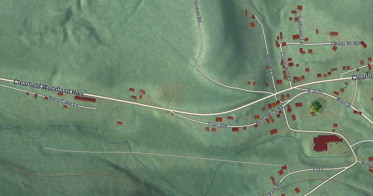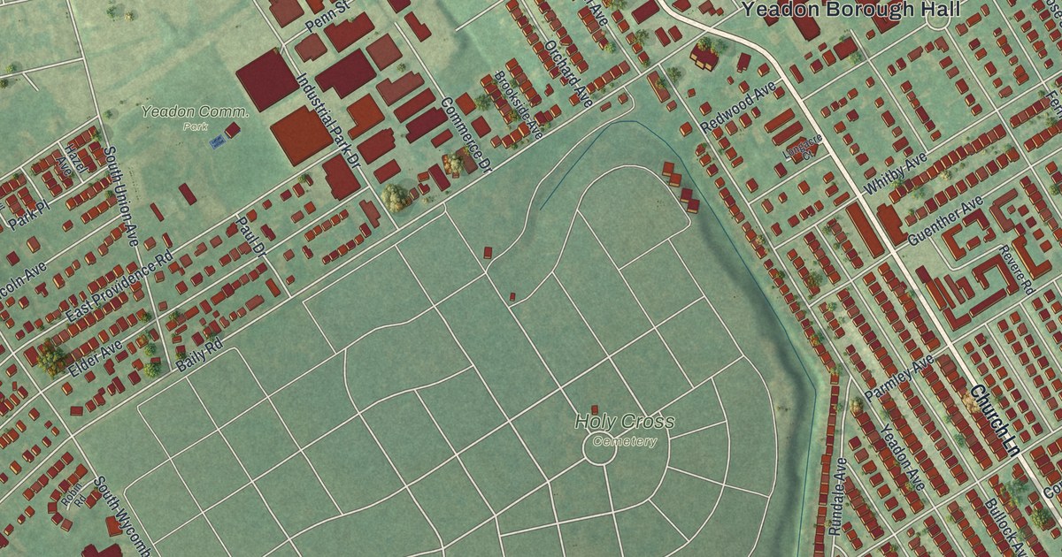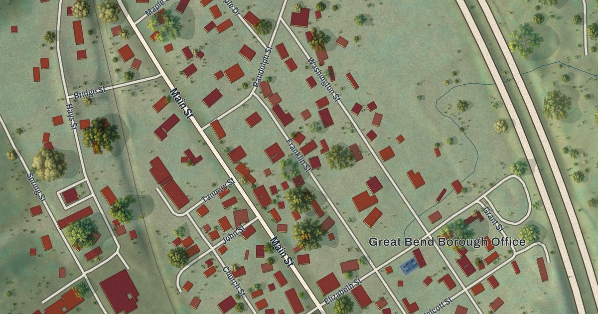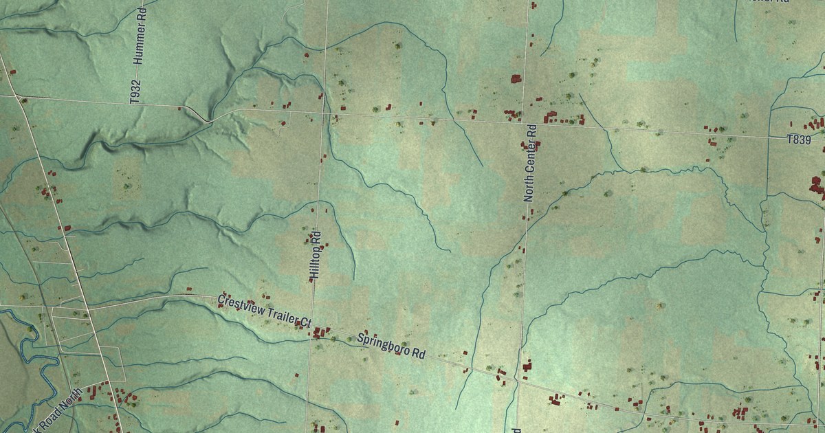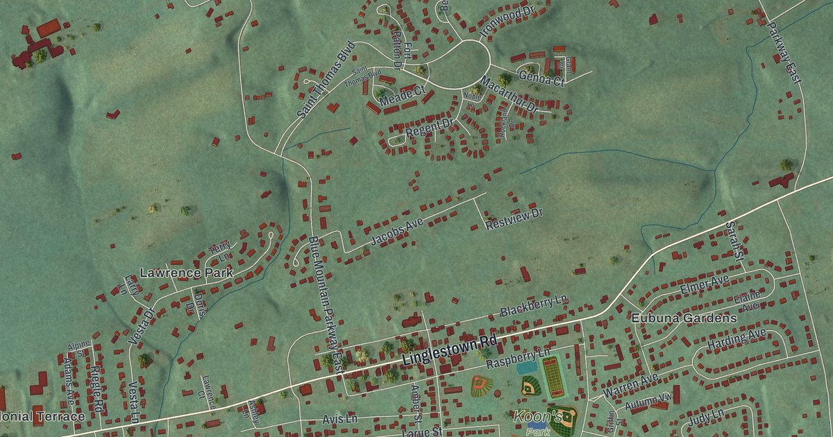
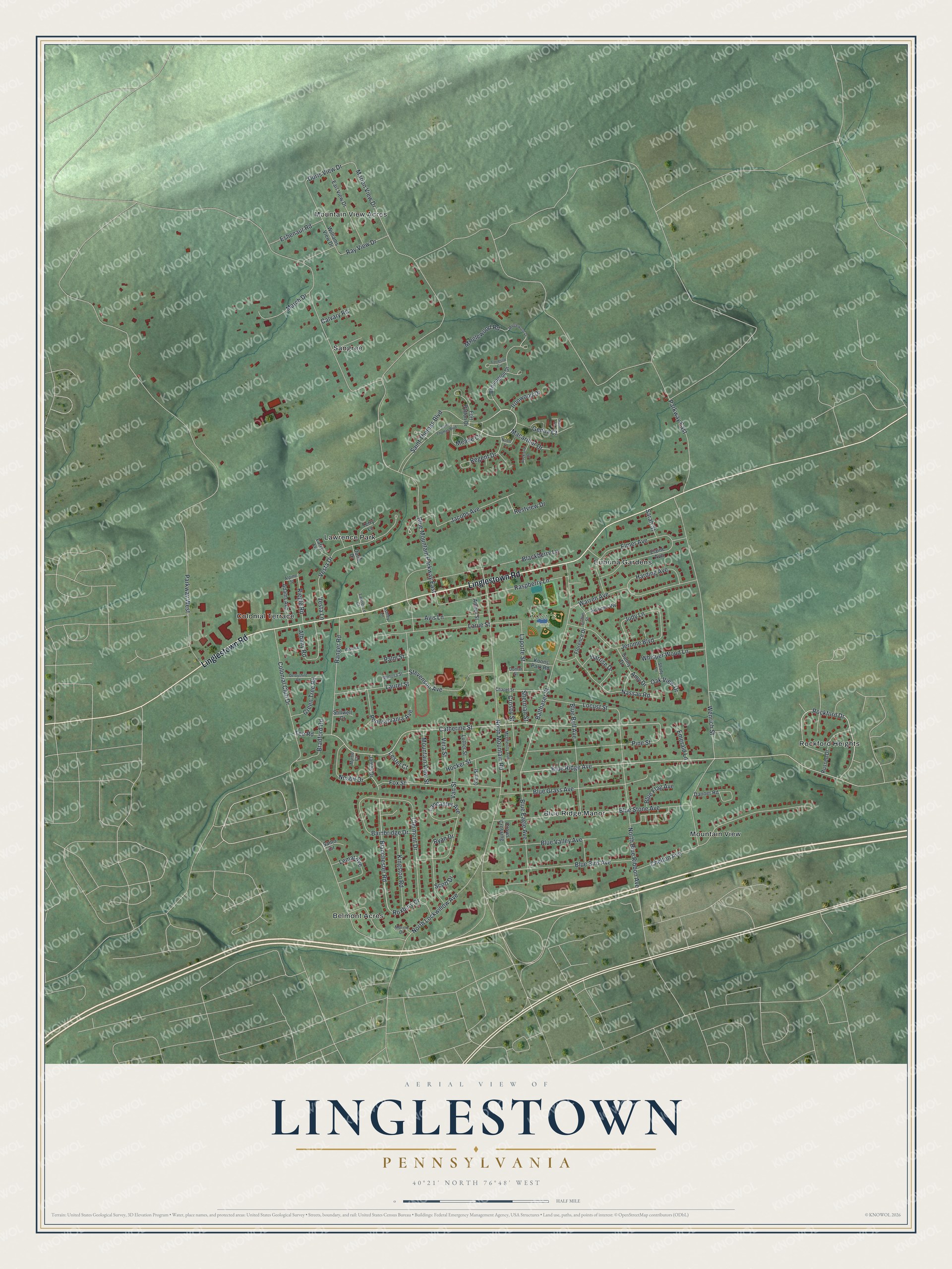
This beautifully detailed map of Linglestown, Pennsylvania was created in 2026 using aerial imagery combined with modern topographical, census, street and landmark data. It's a modern aerial view of Linglestown in Dauphin County, Pennsylvania, that combines modern data with a vintage aesthetic. The roads feature printed names, and if you look closely you can find your exact house accurately shown in its correct location.
Explore an aerial view of Linglestown, Pennsylvania
On this map you'll find Koon's Park, Belmont Acres, Mountain View Acres, Colonial Terrace, Blue Ridge Manor, Rockford Heights, Sangree, Lawrence Park, Eubuna Gardens, Mountain View, Linglestown Road, Blue Ridge Avenue, and more. Each red shape is a building, so zoom in on the preview and look for yours.
Linglestown is a community in Dauphin County. The Census Bureau counted 6,539 people here in 2020. Linglestown sits about 2 miles north of Paxtonia, 3 miles north of Colonial Park and 4 miles west of Skyline View. The map prints the town name in its title panel, with the coordinates below it.
Take a closer look at the Linglestown map
Names on this map
These names are printed on this map.
Places: Koon's Park, Belmont Acres, Mountain View Acres, Colonial Terrace, Blue Ridge Manor, Rockford Heights, Sangree, Lawrence Park, Eubuna Gardens and Mountain View.
Streets and roads: Linglestown Road, Blue Ridge Avenue, Saint Thomas Boulevard, Rockford Drive, Wenrich Street, Catherine Street, Blanchester Road, Doris View Drive, Parkway East, Blue Mountain Parkway East, Parkway West, Colonial Club Drive.
More street names, A to Z
Adams Avenue, Albany Road, Alpine Street, Amber Street, Amy Drive, Ashley Lane, Autumn Vw, Avis Lane, Bainbridge Drive, Balthaser Street, Bennington Drive, Blackberry Lane, Blue Bell Avenue, Blue Bird Avenue, Blue Eagle Avenue, Blue Flag Avenue, Blue Grass Avenue, Blue Stone Avenue, Blue Valley Avenue, Bradford Road, Calvary Road, Chapel Street, Chelton Avenue, Clermont Drive, Crosby Street, Crows Crossing, Danner Road, Derbyshire Road, Donlar Street, Doris Drive, Earl View Drive, Elaine Avenue, Elmer Avenue, Emerald Lane, Eshenaur Road, Florence Drive, Forrestal Circle, Fort Patton Drive, Fox Street, Genoa Court, Glen Street, Grant Court, Green Tree Road, Griffin Street, Harding Avenue, Harrise Drive, Hocker Street, Ironwood Drive, Jacobs Avenue, James Drive, Jerome Boulevard, Judy Lane, Kingston Road, Koons Park Road, Lancaster Avenue, Laporte Street, Larry Lane, Larue Street, Laurel Street, Lawrence Court, Lemar Avenue, Lester Court, Locust Street, Luther Street, Macarthur Drive, March Drive, Marion Drive, Marion View Drive, McIlhenny Avenue, Meade Court, Mimosa Street, Minglewood Drive, Minglewood Road, Mountain View Street, Myrtle Court, Nassau Road, Nesbit Drive, Noble Lane, North Blue Ribbon Avenue, North Lockwillow Avenue, North Mountain Road, Oak View Drive, Palm Street, Pennsylvania Avenue, Pine Street, Ranger Road, Raspberry Lane, Ray View Drive, Regent Drive, Restview Drive, Riegle Road, Rockland Drive, Roxbury Drive, Russell Drive, Ryan Drive, Santo Circle, Sarah Street, Scott Drive, Shady Lane, Sherman Street, Stevenson Avenue, Stillwell Court, Sunny Drive, Tee Road, Terry Lane, Van Street, Vera Street, Vesta Drive, Vesta Lane, Warren Avenue, Whisper Wood Lane, Williams View Drive, Wisteria Lane.
See it on a wall
The Linglestown map as a framed print. Swipe for more.


Created by KNOWOL in 2026. The buildings are small red shapes, the roads carry their printed names, and shaded relief shows the shape of the land. The title panel reads "AERIAL VIEW OF LINGLESTOWN, PENNSYLVANIA" with 40°21' NORTH 76°48' WEST.
Hang it in the hallway, the office or the cabin, or give it to someone who left Linglestown and still calls it home. Open the preview and look for a street you know. See sizes and frames for the Linglestown map.