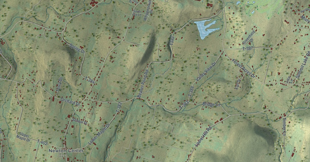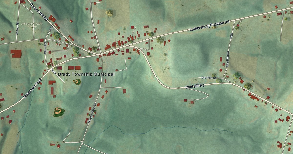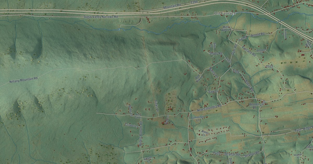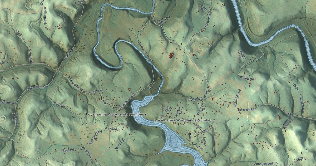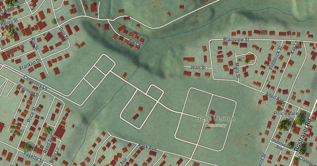
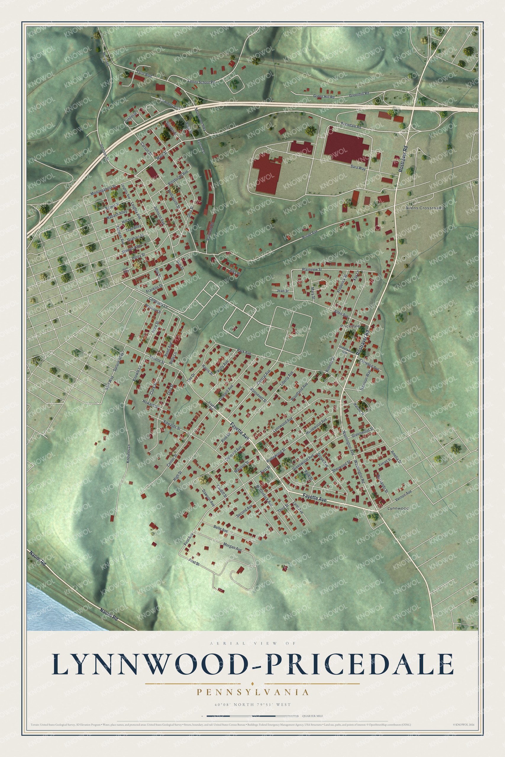
This beautifully detailed map of Lynnwood-Pricedale, Pennsylvania was created in 2026 using aerial imagery combined with modern topographical, census, street and landmark data. It's a modern aerial view of Lynnwood-Pricedale in Westmoreland County, Pennsylvania, that combines modern data with a vintage aesthetic. The roads feature printed names, and if you look closely you can find your exact house accurately shown in its correct location.
Explore an aerial view of Lynnwood-Pricedale, Pennsylvania
On this map you'll find Belle Vernon Cemetery, Allens Crossroads, Lynnwood, Pricedale, Rostraver Road, Fayette Avenue, Naomi Road, Central Avenue, Johnson Street, Main Street, Johnson Avenue, Brown Street, and more. Each red shape is a building, so zoom in on the preview and look for yours.
Lynnwood-Pricedale is a community in Westmoreland County. The Census Bureau counted 2,074 people here in 2020. Lynnwood-Pricedale sits about 2 miles east of Speers, 2 miles northwest of Arnold City and 2 miles north of Fayette City. The map prints the town name in its title panel, with the coordinates below it.
Take a closer look at the Lynnwood-Pricedale map
Names on this map
These names are printed on this map.
Places: Belle Vernon Cemetery, Allens Crossroads, Lynnwood and Pricedale.
Streets and roads: Rostraver Road, Fayette Avenue, Naomi Road, Central Avenue, Johnson Street, Main Street, Johnson Avenue, Brown Street, Broad Avenue, Orchard Avenue, Cemetery Lane, Washington Avenue.
More street names, A to Z
Allen Avenue, Amelia Street, April Way, Beaumont Street, Bedsworth Street, Belle Avenue, Belle Lane, Cardiff Street, Carson Street, Center Street, Clarence Avenue, Clark Street, Commerce Lane, Dawson Avenue, Delmont Avenue, Don Street, Edwards Street, Elks Place, Everett Street, Fayette Street, First Avenue, First Street, Franklin Drive, Frederick Street, Graham Street, Green Hill Road, Greenhill Road, Greenwood Avenue, Greenwood Street, Grove Avenue, Harold Street, Harrison Way, Harris Street, Henry Street, High Street, Hill Street, Homewood Avenue, Homewood Street, Howard Street, Hunt Alley, Jean Street, Kay Lane, Kelly Avenue, Knowle Lane, Knowles Lane, Lee Drive, Leightty Avenue, Leighty Avenue, Lenity School Road, Liberty Avenue, Lynn Avenue, Lynnwood Avenue, Marston Street, Mary Street, McClintock Avenue, Monessen, Monessen Highway, Monongahela Street, Morgan Avenue, Nabash Alley, Ohio Street, Otto Street, Park Avenue, Park Street, Pine Drive, Pittsburgh Avenue, Plainview Street, Pricedale Road, Price Street, Railroad Road, Railroad Street, Razzando Street, Reed Avenue, Roberts Street, Roosevelt Street, Ross Street, Roy Street, Sara Way, Second Avenue, Sherwood Street, Somers Street, Spruce Alley, Stewart Alley, Third Street, Thomas Avenue, Trail Alley, Tyrol Boulevard, Underwood Avenue, Vernon Avenue, Washington Road, Woodland Avenue, Zundel Street.
See it on a wall
The Lynnwood-Pricedale map as a framed print. Swipe for more.


Created by KNOWOL in 2026. The buildings are small red shapes, the roads carry their printed names, and shaded relief shows the shape of the land. The title panel reads "AERIAL VIEW OF LYNNWOOD-PRICEDALE, PENNSYLVANIA" with 40°08' NORTH 79°51' WEST.
It suits a den, a classroom or a front hall, and it makes a gift for anyone with Lynnwood-Pricedale roots. Open the preview and find the block you know. See sizes and frames for the Lynnwood-Pricedale map.