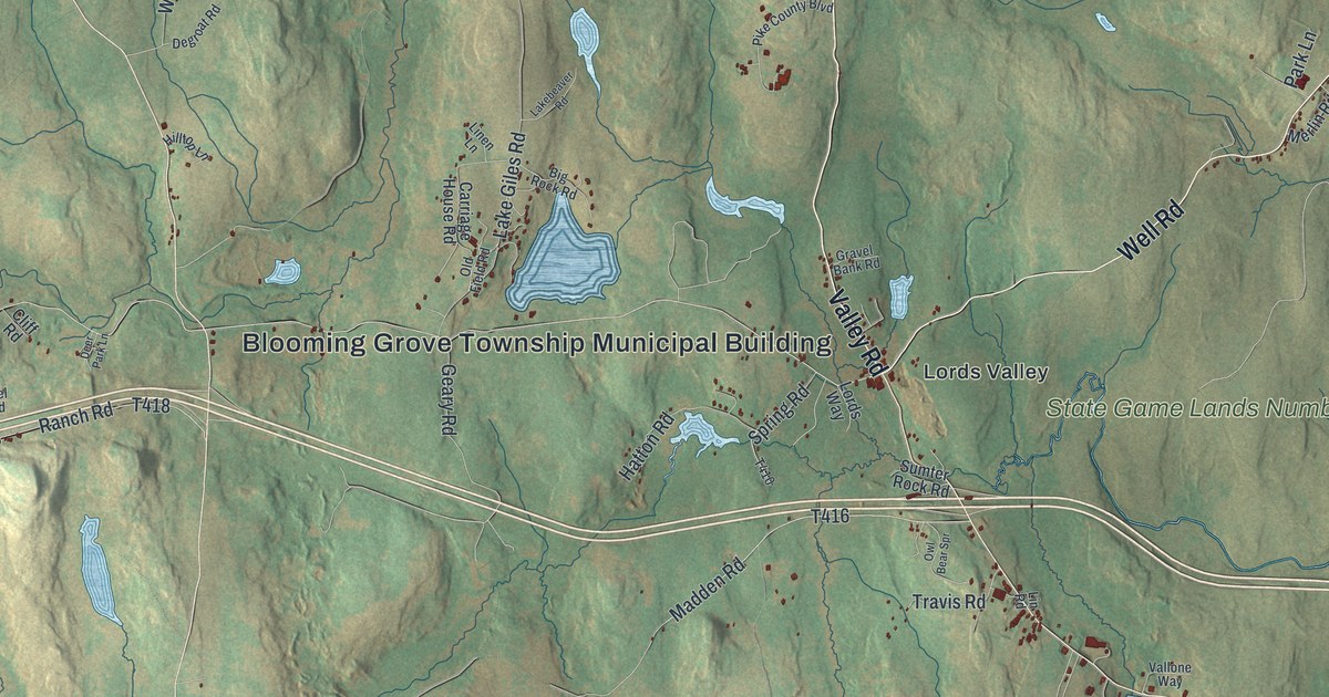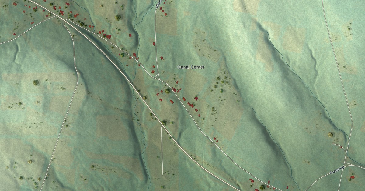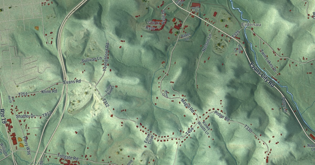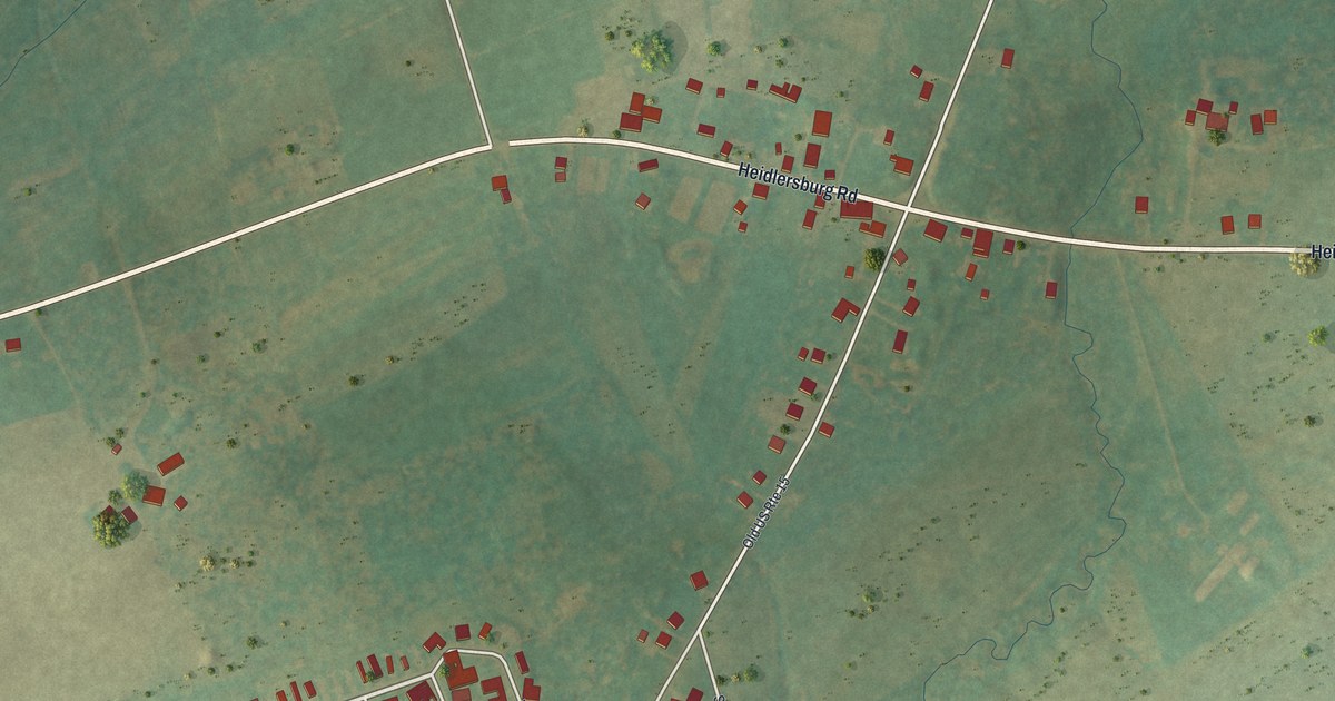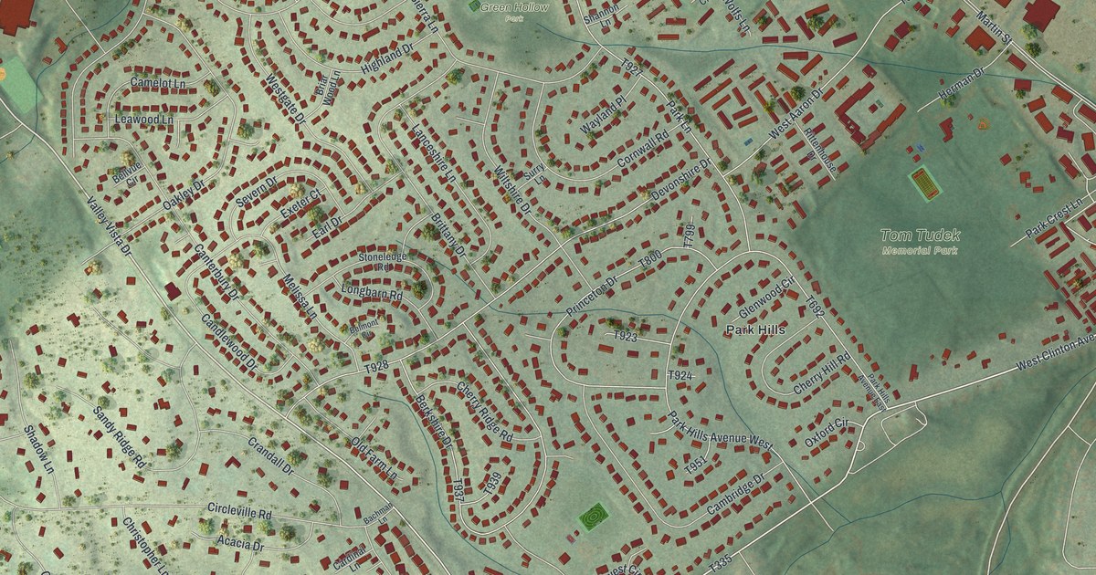
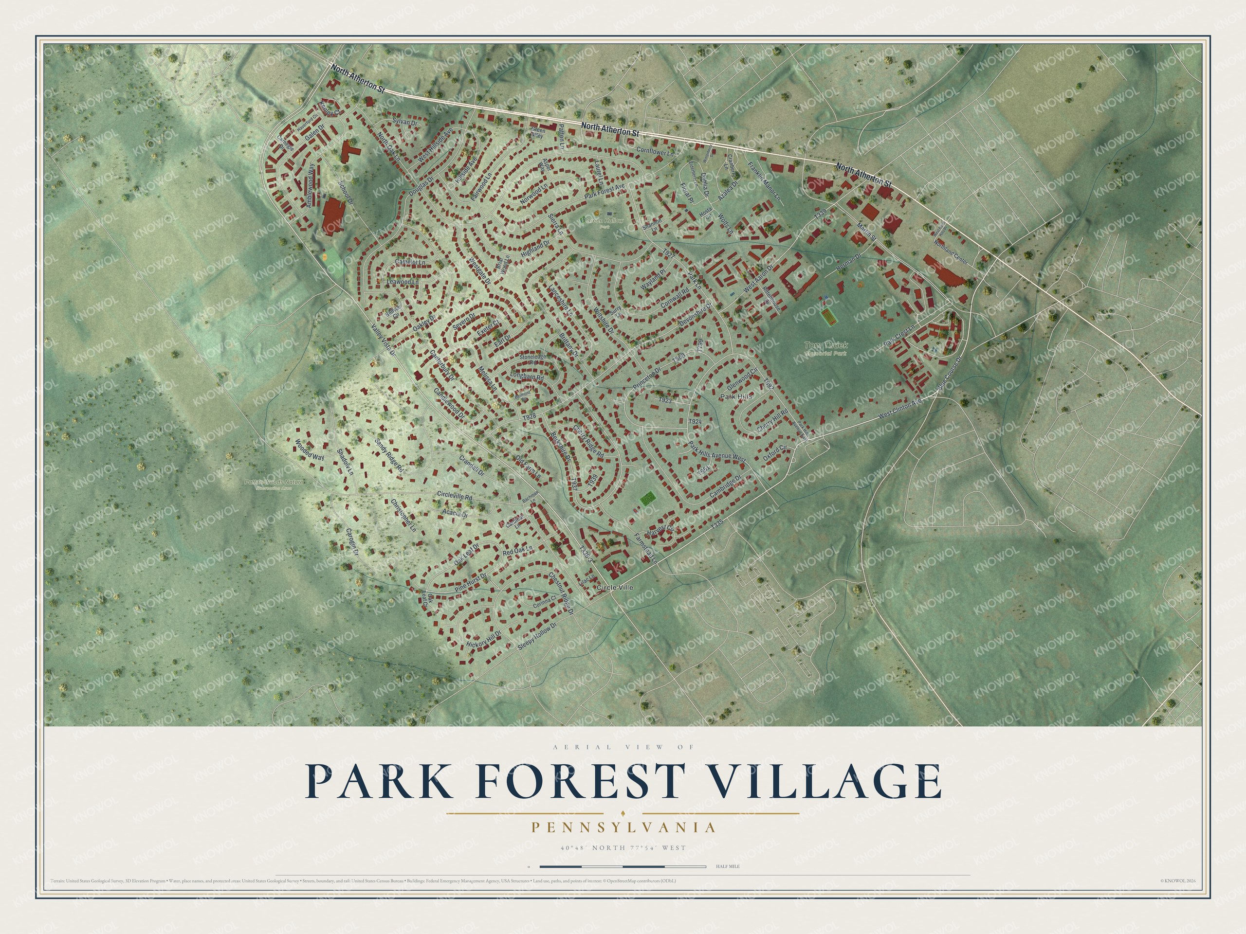
This beautifully detailed map of Park Forest Village, Pennsylvania was created in 2026 using aerial imagery combined with modern topographical, census, street and landmark data. It's a modern aerial view of Park Forest Village in Centre County, Pennsylvania, that combines modern data with a vintage aesthetic. The roads feature printed names, and if you look closely you can find your exact house accurately shown in its correct location.
Explore an aerial view of Park Forest Village, Pennsylvania
On this map you'll find Green Hollow Park, Patton Woods Nature Recreation Area, Tom Tudek Memorial Park, Circle Ville, Park Hills, North Atherton Street, Valley Vista Drive, T335, Blue Course Drive, West Clinton Avenue, T336-3, Oak Leaf Drive, and more. Each red shape is a building, so zoom in on the preview and look for yours.
Park Forest Village is a community in Centre County. The Census Bureau counted 8,831 people here in 2020. Park Forest Village sits about 2 miles southwest of Toftrees, 3 miles west of State College and 5 miles southeast of Julian. The map prints the town name in its title panel, with the coordinates below it.
Take a closer look at the Park Forest Village map
Names on this map
These names are printed on this map.
Places: Green Hollow Park, Patton Woods Nature Recreation Area, Tom Tudek Memorial Park, Circle Ville and Park Hills.
Streets and roads: North Atherton Street, Valley Vista Drive, Blue Course Drive, West Clinton Avenue, Oak Leaf Drive, Pine Hurst Drive, Dahlia Drive, Floral Place, Martin Street, Circleville Road, North Oak Lane, Devonshire Drive.
More street names, A to Z
Acacia Drive, Amblewood Way, Asper Way, Azalea Drive, Bachman Lane, Bellvue Circle, Belmont Circle, Berkshire Drive, Briar Wood Lane, Brittany Drive, Cambridge Drive, Camelot Lane, Candlewood Drive, Canterbury Drive, Cardinal Lane, Carnegie Drive, Carogin Drive, Cherry Hill Road, Cherry Ridge Road, Chestnut Ridge Drive, Christopher Lane, Corinna Court, Cornflower Lane, Cornwall Road, Cranberry Lane, Crandall Drive, Douglas Drive, Earl Drive, Elderberry Lane, Exeter Court, Fairwood Lane, Farmstead Lane, Franklin Manor Lane, Galen Drive, Glenwood Circle, Green Alley, Harvest Circle, Haverford Circle, Herman Drive, Hickory Hill Drive, Highland Drive, Hillside Avenue, Hosta Circle, Kenley Court, Lanceshire Lane, Laurel Lane, Leawood Lane, Lilac Lane, Longbarn Road, Melissa Lane, Northland Center, Norwood Lane, Oak Leaf Court, Oakley Drive, Old Farm Lane, Oxford Circle, Park Crest Lane, Park Forest Avenue, Park Hills Avenue East, Park Hills Avenue West, Park Lane, Patton Lane, Princeton Drive, Red Oak Lane, Rittenhouse Drive, Sandy Ridge Road, School Drive, Severn Drive, Shadow Lane, Shannon Lane, Sierra Lane, Sleepy Hollow Drive, Stoneledge Road, Surry Lane, Sylvan Drive, Wayland Place, West Aaron Drive, Westgate Drive, West Hillside Avenue, West North Hills Place, Wiltshire Drive, Winterberry Drive, Wolfs Lane, Wooded Way.
See it on a wall
The Park Forest Village map as a framed print. Swipe for more.


Created by KNOWOL in 2026. The buildings are small red shapes, the roads carry their printed names, and shaded relief shows the shape of the land. The title panel reads "AERIAL VIEW OF PARK FOREST VILLAGE, PENNSYLVANIA" with 40°48' NORTH 77°54' WEST.
It looks right in a kitchen, an office or a den, and it's a gift for anyone who grew up in Park Forest Village or moved away. Open the preview and find your street. See sizes and frames for the Park Forest Village map.