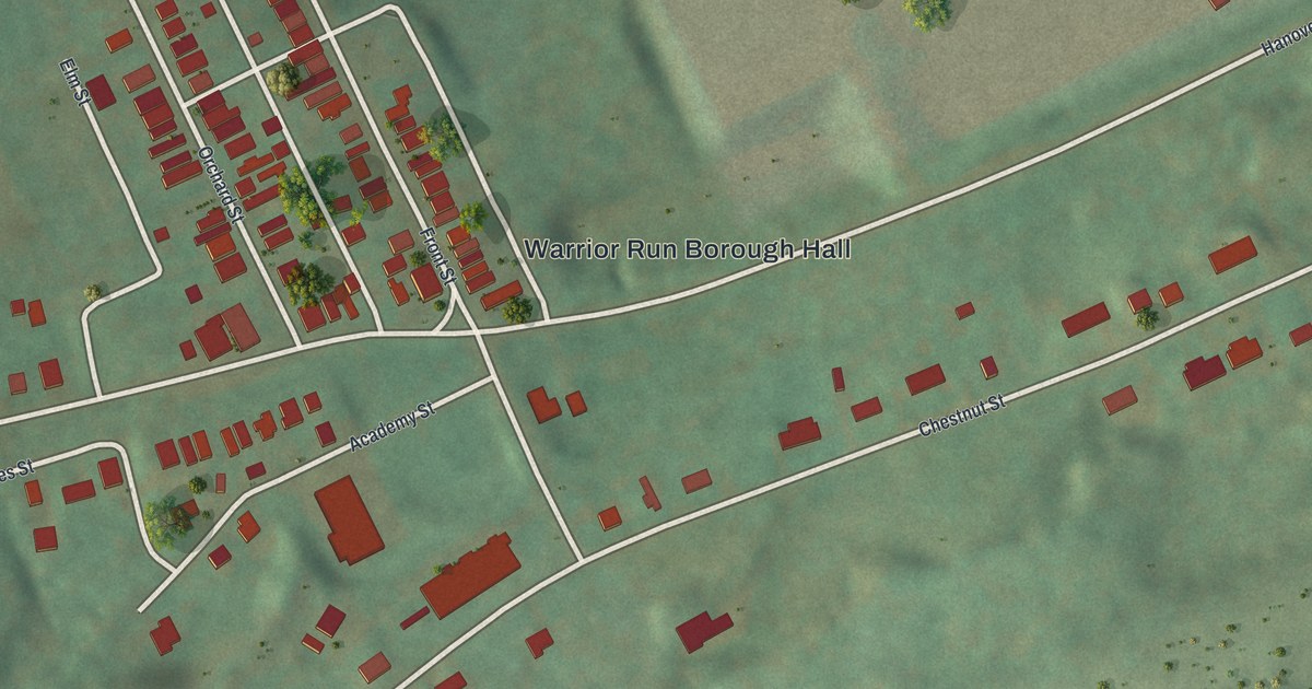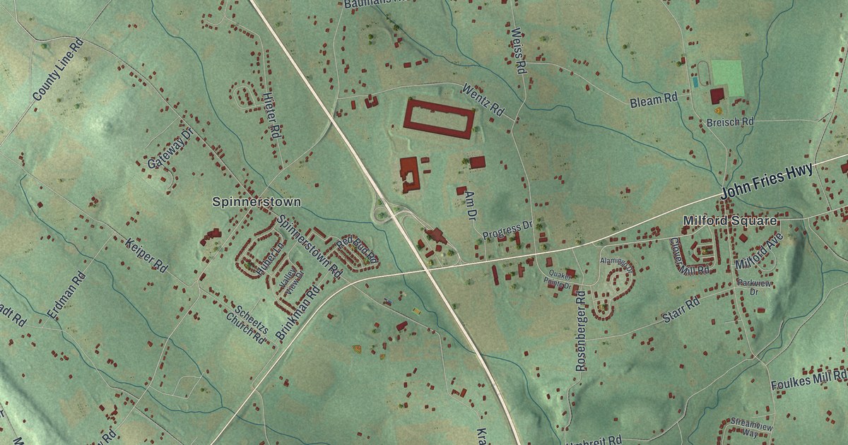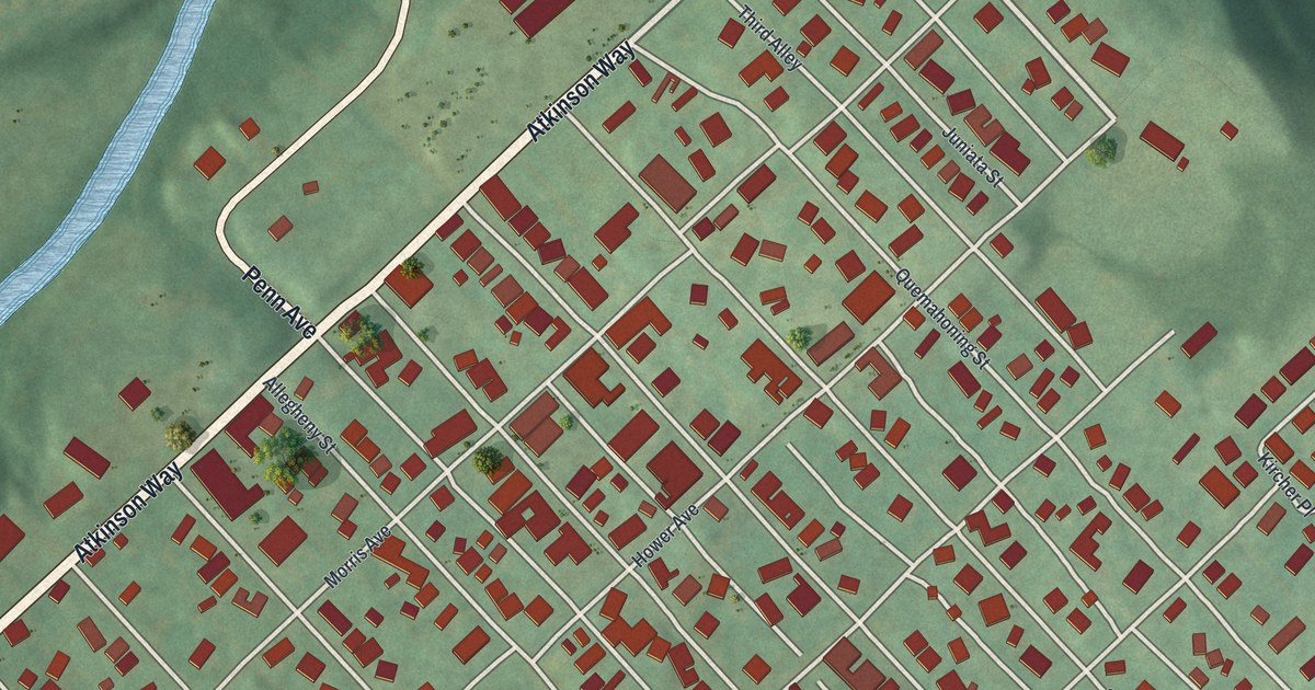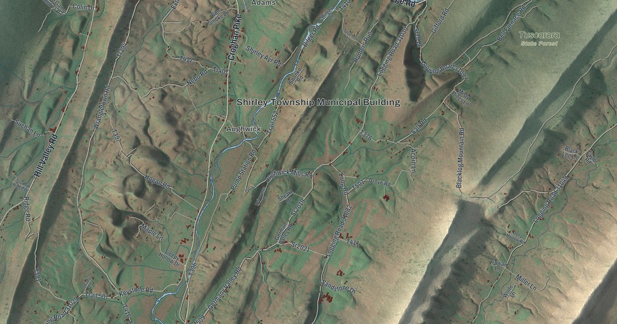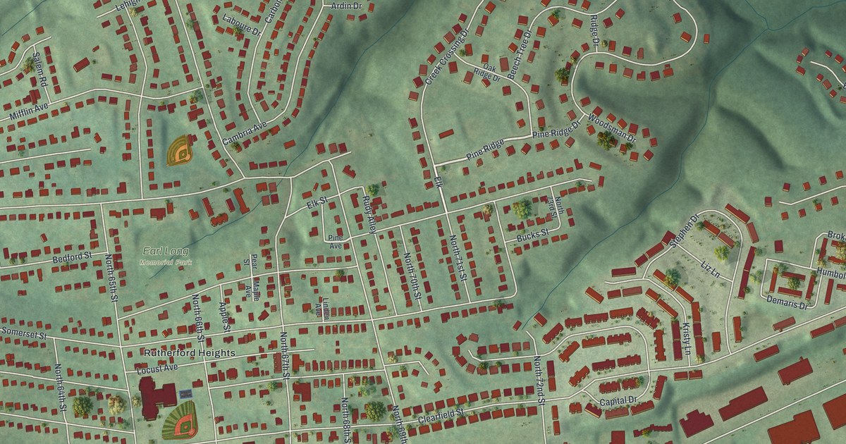
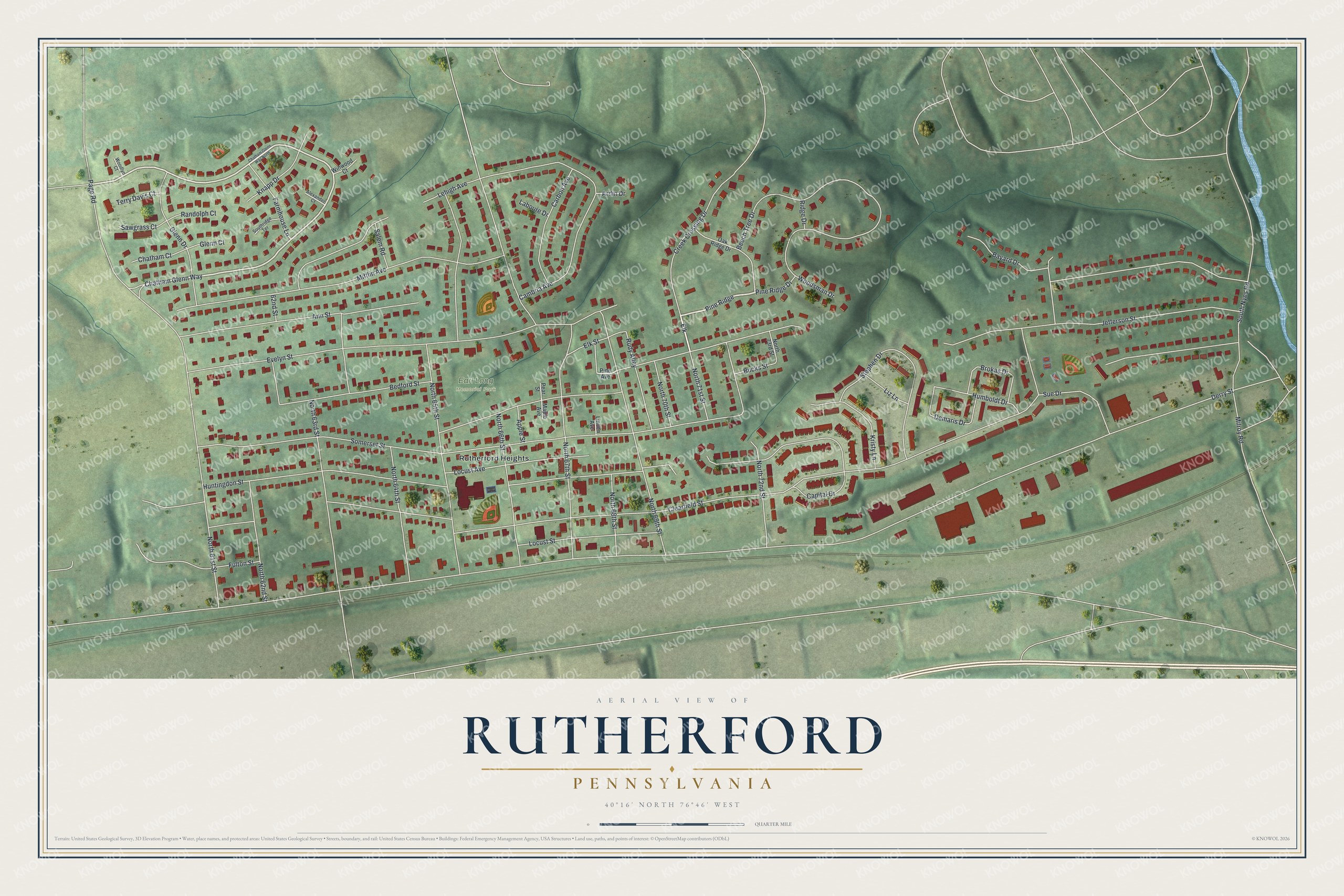
This beautifully detailed map of Rutherford, Pennsylvania was created in 2026 using aerial imagery combined with modern topographical, census, street and landmark data. It's a modern aerial view of Rutherford in Dauphin County, Pennsylvania, that combines modern data with a vintage aesthetic. The roads feature printed names, and if you look closely you can find your exact house accurately shown in its correct location.
Explore an aerial view of Rutherford, Pennsylvania
On this map you'll find Earl Long Memorial Park, Rutherford Heights, Jefferson Street, Pine Ridge, Elk, Chatham Glenn Way, Derry Street, Clearfield Street, Somerset Street, Evelyn Street, Huntingdon Street, North 67th Street, and more. Each red shape is a building, so zoom in on the preview and look for yours.
Rutherford is a community in Dauphin County. The Census Bureau counted 5,765 people here in 2020. Rutherford sits about 2 miles east of Lawnton, 3 miles southeast of Colonial Park and 3 miles west of Hummelstown. The map prints the town name in its title panel, with the coordinates below it.
Take a closer look at the Rutherford map
Names on this map
These names are printed on this map.
Places: Earl Long Memorial Park and Rutherford Heights.
Streets and roads: Jefferson Street, Pine Ridge, Elk, Chatham Glenn Way, Derry Street, Clearfield Street, Somerset Street, Evelyn Street, Huntingdon Street, North 67th Street, North 61st Street, Mifflin Avenue.
More street names, A to Z
62nd Street, Alexander Court, Ann Street, Apple Street, Ardin Drive, Bayard Drive, Bedford Street, Beech Tree Drive, Brokas Drive, Bucks Street, Cambria Avenue, Capital Drive, Carbon Avenue, Chatham Court, Chatham Glenn Way North, Creek Crossing Drive, Demaris Drive, Elk Street, Farmhouse Lane, Fulton Street, Glenn Court, Glenn Drive, Humboldt Drive, Knapp Drive, Kristy Lane, Laboure Drive, Lehigh Avenue, Linden Avenue, Liz Lane, Locust Avenue, Locust Street, Maple Avenue, Milroy Road, North 62nd Street, North 63rd Street, North 64th Street, North 65th Street, North 66th Street, North 68th Street, North 69th Street, North 70th Street, North 71st Street, North 72nd Street, North 73rd Street, Oak Ridge Drive, Page Road, Pear Street, Pine Avenue, Pine Ridge Drive, Randolph Court, Ridge Drive, Rudy Alley, Salem Road, Sawgrass Court, South Nyes Road, Southridge Terrace, Stephen Drive, Sue Drive, Terry Davis Court, Winwood Court, Woodlyn Court, Woodsman Drive.
See it on a wall
The Rutherford map as a framed print. Swipe for more.


Created by KNOWOL in 2026. The buildings are small red shapes, the roads carry their printed names, and shaded relief shows the shape of the land. The title panel reads "AERIAL VIEW OF RUTHERFORD, PENNSYLVANIA" with 40°16' NORTH 76°46' WEST.
It looks right in a kitchen, an office or a den, and it's a gift for anyone who grew up in Rutherford or moved away. Open the preview and find your street. See sizes and frames for the Rutherford map.