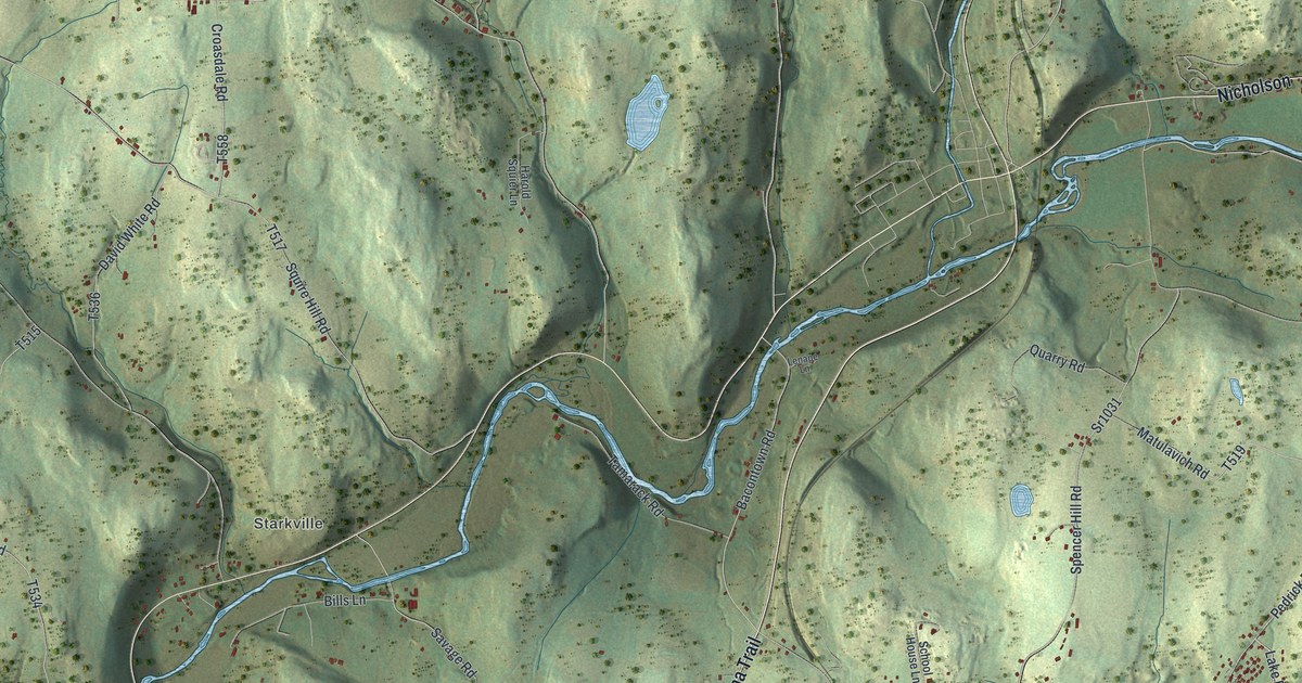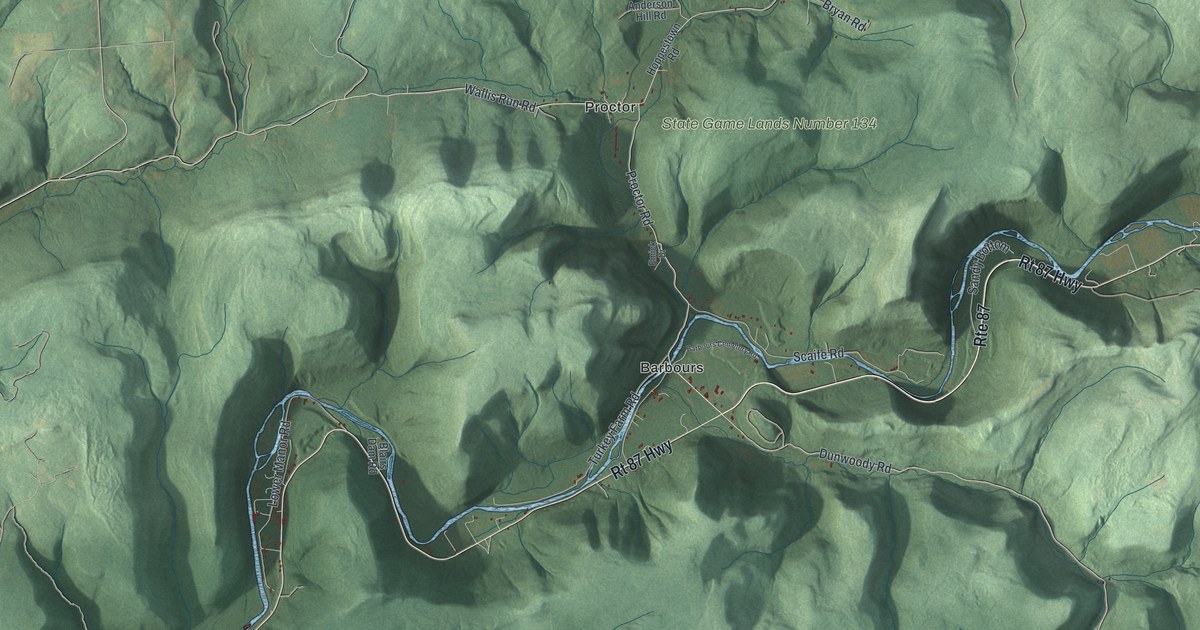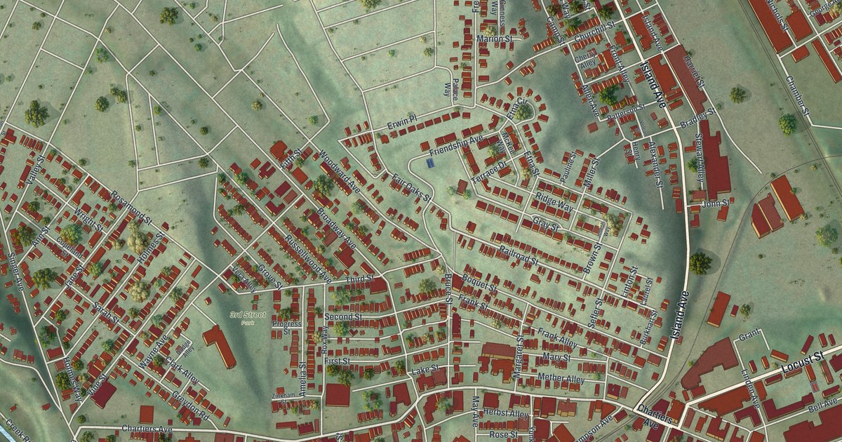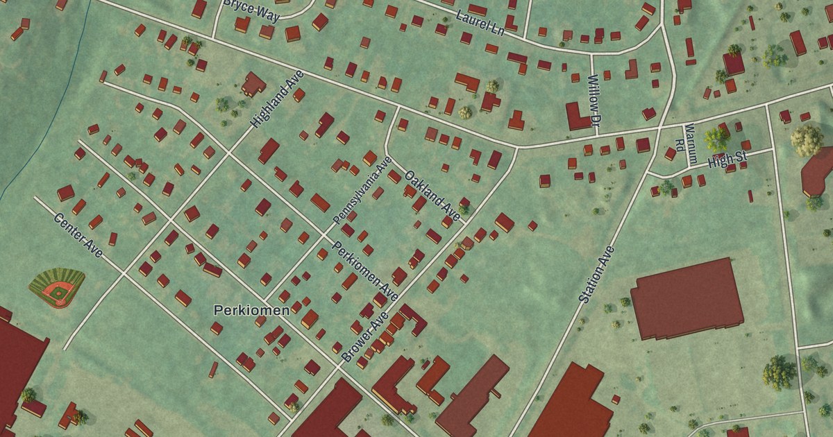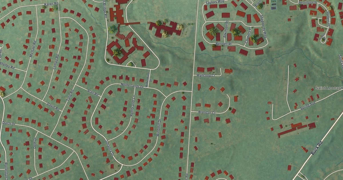
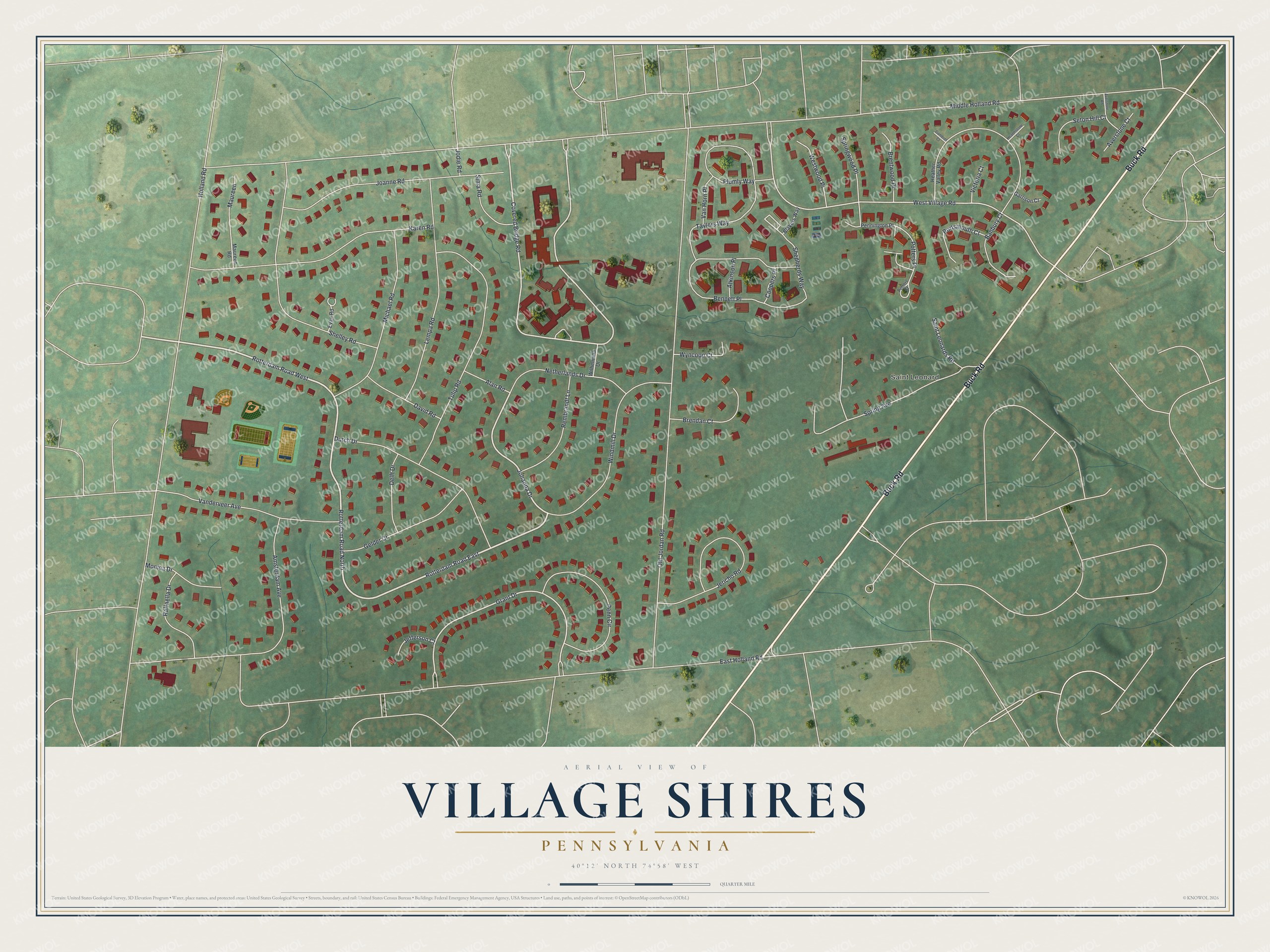
This beautifully detailed map of Village Shires, Pennsylvania was created in 2026 using aerial imagery combined with modern topographical, census, street and landmark data. It's a modern aerial view of Village Shires in Bucks County, Pennsylvania, that combines modern data with a vintage aesthetic. The roads feature printed names, and if you look closely you can find your exact house accurately shown in its correct location.
Explore an aerial view of Village Shires, Pennsylvania
On this map you'll find Saint Leonard, Buck Road, Rotterdam Road North, Rotterdam Road East, Rotterdam Road West, Johanna Drive, Covered Bridge Road, Grant Drive, West Village Road, Middle Holland Road, East Holland Road, Holland Road, and more. Each red shape is a building, so zoom in on the preview and look for yours.
Here is a piece of Village Shires history. St. Bede the Venerable Parish was founded on May 26, 1965, the anniversary of the death of St. Bede. Its founding pastor, Father James Martin, held his first Masses in the auditorium of nearby Villa Joseph Marie Academy, and the church was completed in 1967. The family of Amy Wall, the child whose cure from deafness was the miracle for St. Katharine Drexel's canonization, belonged to the parish. That's from the CatholicPhilly news service.
Village Shires is a community in Bucks County. The Census Bureau counted 3,946 people here in 2020. Village Shires sits about 2 miles east of Churchville, 2 miles southeast of Richboro and 3 miles southwest of Newtown. The map prints the town name in its title panel, with the coordinates below it.
Take a closer look at the Village Shires map
Names on this map
These names are printed on this map.
Places: Saint Leonard.
Streets and roads: Buck Road, Rotterdam Road North, Rotterdam Road East, Rotterdam Road West, Johanna Drive, Covered Bridge Road, Grant Drive, West Village Road, Middle Holland Road, East Holland Road, Holland Road, Old Jordan Road.
More street names, A to Z
Alan Road, Amsterdam Avenue, Atkinson Place, Averstone Court, Averstone Road, Banbury Court, Bennett Place, Blakers Way, Brendan Court, Brentwood Place, Coopers Place, David Road, Delft Drive, Dutch Drive, Evan Road, Gambrel Court, Garrison Court, Gelder Drive, Hearthstone Court, Heather Valley Road, Jefferson Court, Jericho Road, Joanne Road, Jodie Road, Karen Road, Lempa Road, Maureen, Maureen Road, Michael Road, Monica Drive, Netherlands Drive, Penn Circle, Pennington Place, Plumly Way, Portsmouth Court, Potters Court, Potters Place, Raffaella Drive, Rembrandt Lane, Saint Leonards Road, Seton Hill Court, Shelley Road, Shepherds Way, Sima Road, Spring Avenue, Springwood Place, Taylors Way, Tulip Road, Vanderveer Avenue, Van Horn Place, Victoria Court, Westwood Place, Wilhelmina Drive, Windmill Drive, Wyncoop Court.
See it on a wall
The Village Shires map as a framed print. Swipe for more.


Created by KNOWOL in 2026. The buildings are small red shapes, the roads carry their printed names, and shaded relief shows the shape of the land. The title panel reads "AERIAL VIEW OF VILLAGE SHIRES, PENNSYLVANIA" with 40°12' NORTH 74°58' WEST.
It suits a den, a classroom or a front hall, and it makes a gift for anyone with Village Shires roots. Open the preview and find the block you know. See sizes and frames for the Village Shires map.