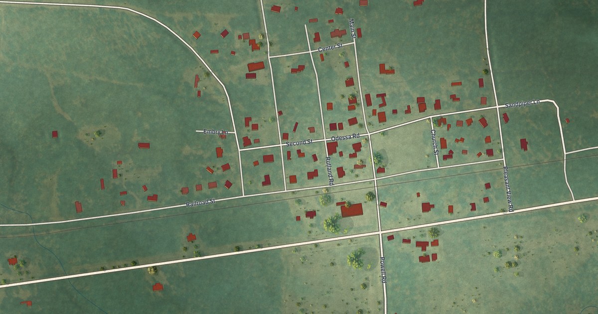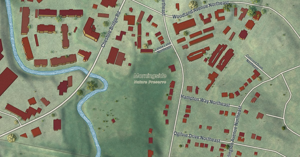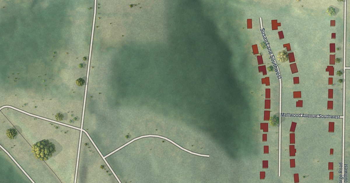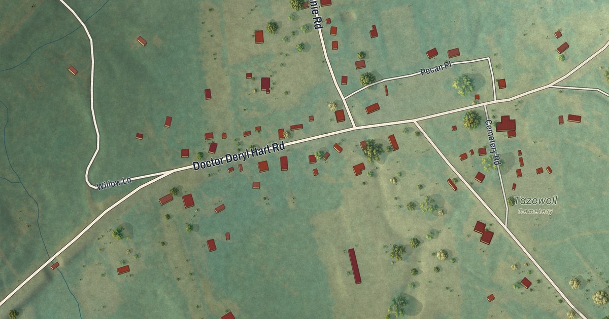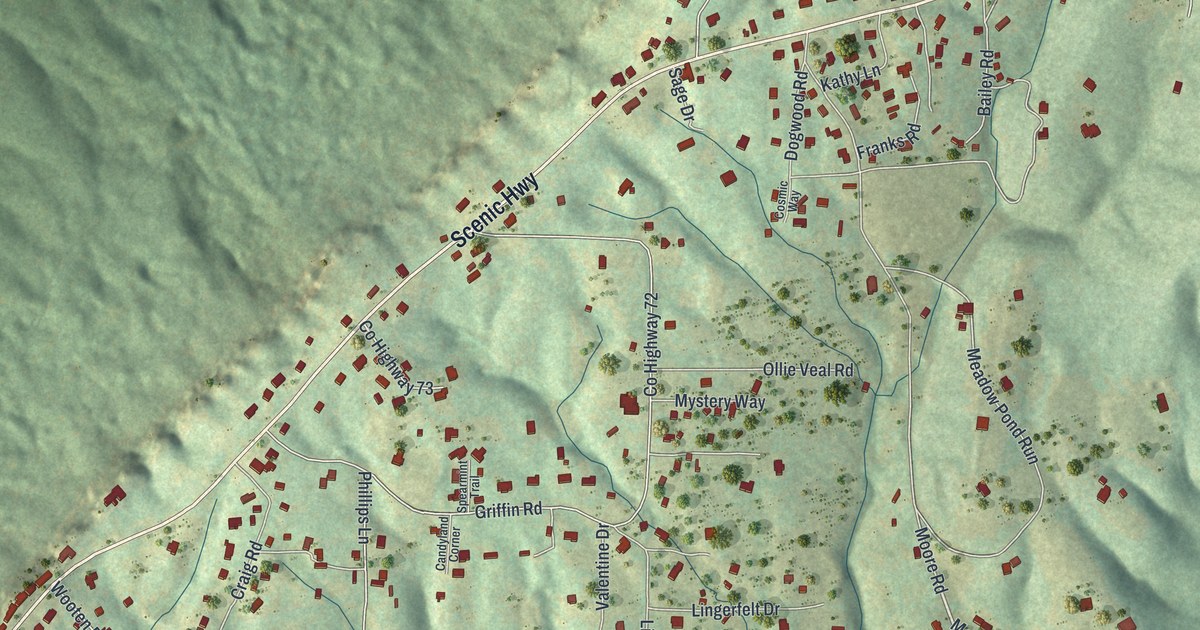
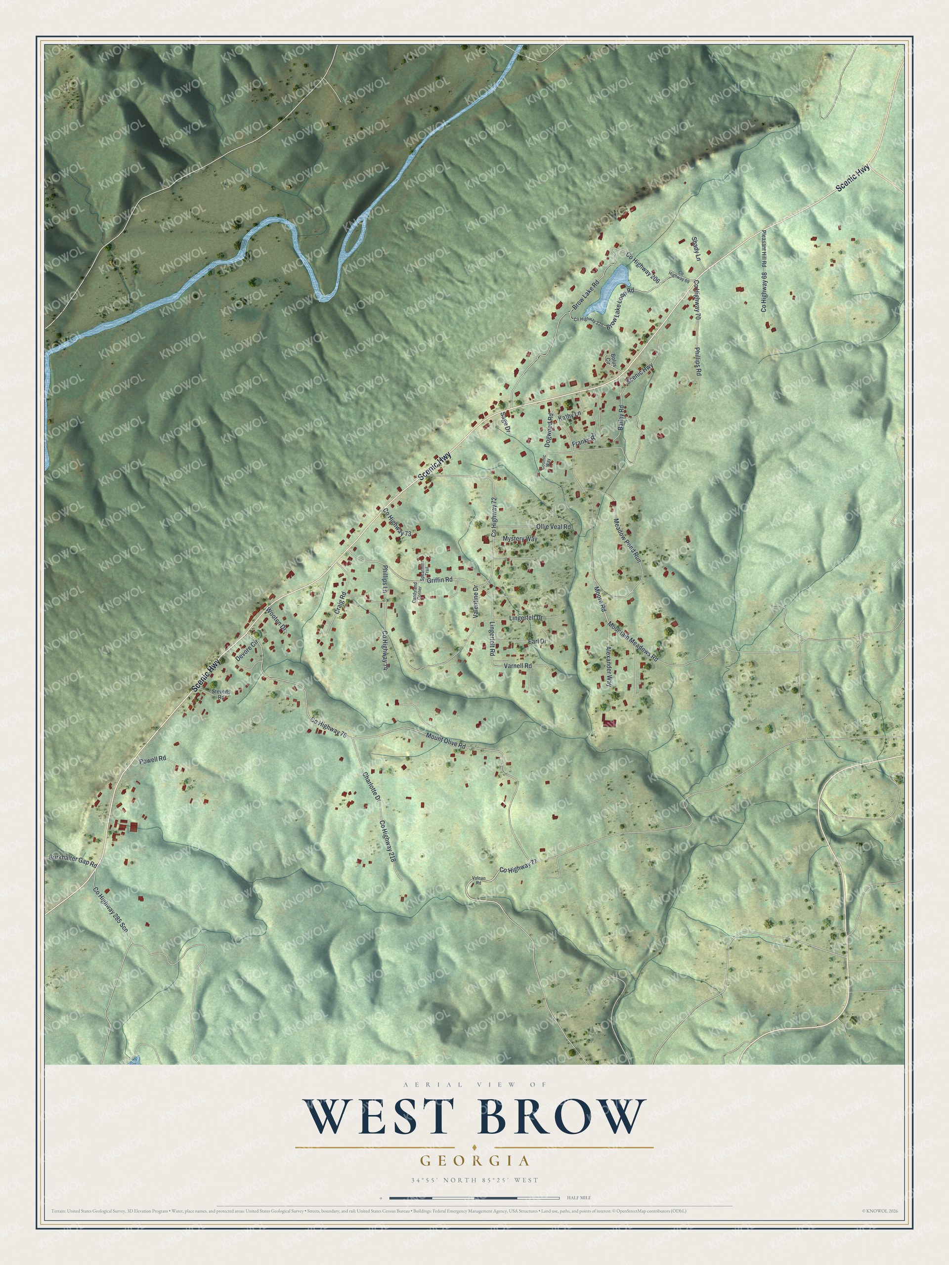
This beautifully detailed map of West Brow, Georgia was created in 2026 using aerial imagery combined with modern topographical, census, street and landmark data. It's a modern aerial view of West Brow in Dade County, Georgia, that combines modern data with a vintage aesthetic. The roads feature printed names, and if you look closely you can find your exact house accurately shown in its correct location.
Explore an aerial view of West Brow, Georgia
On this map you'll find Scenic Highway, Co Highway 77, Mountain Meadows Road, Co Highway 76, Mount Olive Road, Co Highway 72, Griffin Road, Brow Lake Road, Co Highway 206, Moore Road, Meadow Pond Run, Charlotte Drive, and more. Each red shape is a building, so zoom in on the preview and look for yours.
West Brow is a community in Dade County. The Census Bureau counted 887 people here in 2020. West Brow sits about 4 miles east of New England, 4 miles south of Wildwood and 4 miles west of Chattanooga Valley. The map prints the town name in its title panel, with the coordinates below it.
Take a closer look at the West Brow map
Names on this map
These names are printed on this map.
Streets and roads: Scenic Highway, County Highway 77, Mountain Meadows Road, County Highway 76, Mount Olive Road, County Highway 72, Griffin Road, Brow Lake Road, County Highway 206, Moore Road, Meadow Pond Run, Charlotte Drive.
More street names, A to Z
Alexander Way, Bailey Road, Bolus Circle, Brow Lake Loop Road, Burkhalter Gap Road, Candyland Corner, Cosmic Way, County Highway 68, County Highway 69, County Highway 70, County Highway 73, County Highway 74, County Highway 218, County Highway 220, County Highway 285 Scn, Craig Road, Devore Circle, Dogwood Road, Earl Drive, Franks Road, Kathy Lane, Lingerfelt Drive, Lingerfelt Road, Mystery Way, Ollie Veal Road, Phillips Lane, Phillips Road, Pleasant Hill Road, Powell Road, Sage Drive, Shady Lane, Spearmint Trail, Stevens Road, Valentine Drive, Varnell Road, Vulcan Road, Wooten Drive.
See it on a wall
The West Brow map as a framed print. Swipe for more.


Created by KNOWOL in 2026. The buildings are small red shapes, the roads carry their printed names, and shaded relief shows the shape of the land. The title panel reads "AERIAL VIEW OF WEST BROW, GEORGIA" with 34°55' NORTH 85°25' WEST.
Hang it in the hallway, the office or the cabin, or give it to someone who left West Brow and still calls it home. Open the preview and look for a street you know. See sizes and frames for the West Brow map.