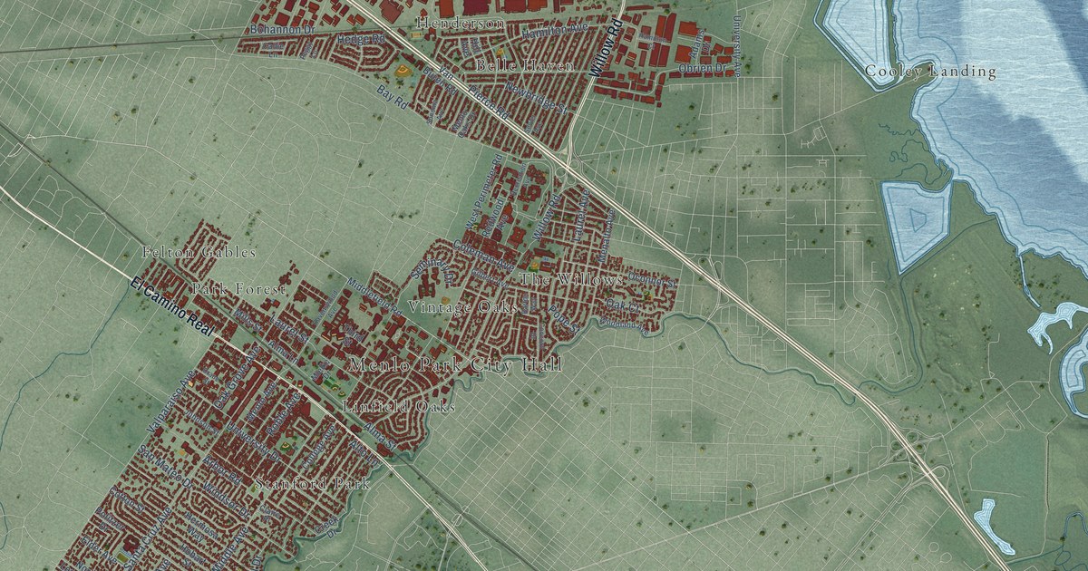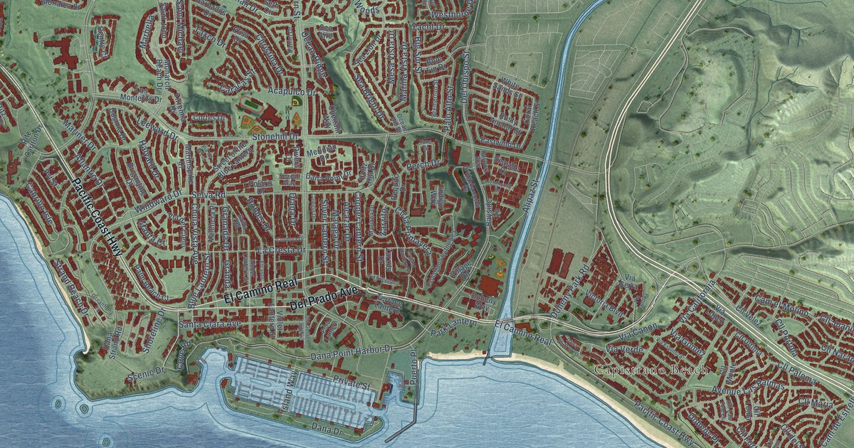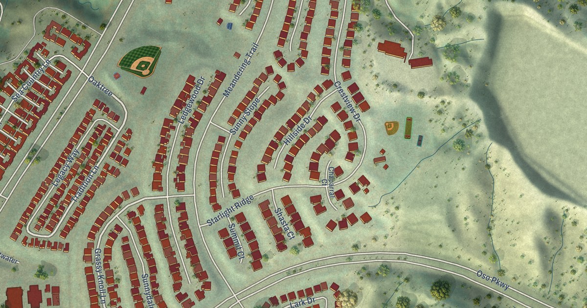
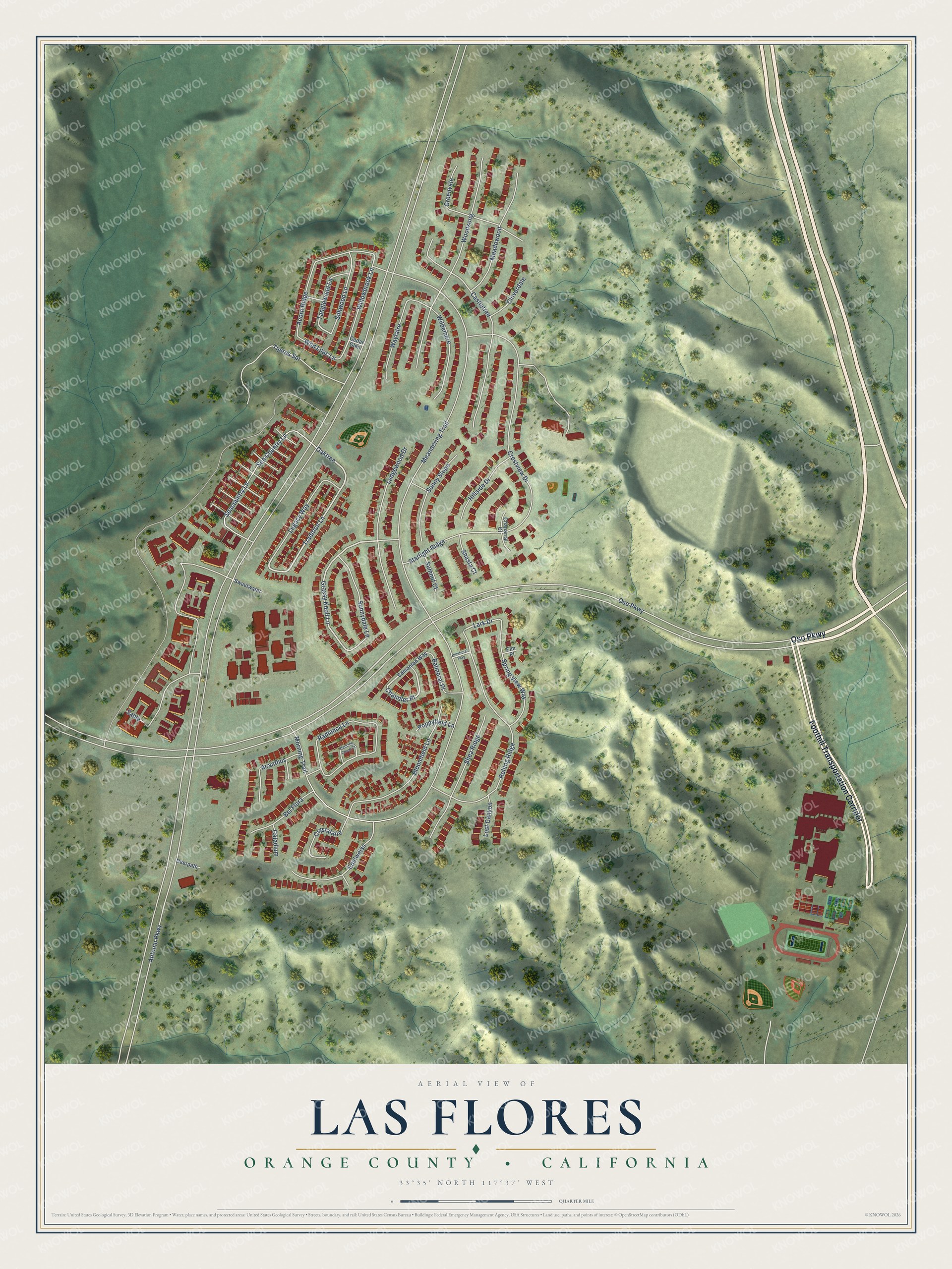
This beautifully detailed map of Las Flores, California was created in 2026 using aerial imagery combined with modern topographical, census, street and landmark data. It's a modern aerial view of Las Flores in Orange County, California, that combines modern data with a vintage aesthetic. The roads feature printed names, and if you look closely you can find your exact house accurately shown in its correct location.
Explore an aerial view of Las Flores, California
On this map you'll find Foothill Transportation Corridor, Oso Parkway, Oaktree, Tradition Lane, Grassy Knoll Lane, Chandler Place, Lark Drive, Antonio Parkway, Meandering Trail, Sable, Crestview Drive, Tijeras Spr, and more. Each red shape is a building, so zoom in on the preview and look for yours.
Las Flores is a community in Orange County. The Census Bureau counted 5,995 people here in 2020. Las Flores sits about 2 miles southwest of Coto de Caza, 3 miles southeast of Mission Viejo and 3 miles northeast of Ladera Ranch. The map prints the town name in its title panel, with the coordinates below it.
Take a closer look at the Las Flores map
Names on this map
These names are printed on this map.
Streets and roads: Foothill Transportation Corridor, Oso Parkway, Oaktree, Tradition Lane, Grassy Knoll Lane, Chandler Place, Lark Drive, Antonio Parkway, Meandering Trail, Sable, Crestview Drive, Tijeras Spr.
More street names, A to Z
Acanthus, Acorn Ridge, Balmoral Place, Bel Flora, Bloomfield Lane, Caladium, Castletree, Cedar Glen, Chaparral Court, Cloverdale, Crystalaire, Dancing Cloud Court, Deerpath, Edelweiss, Edmonton Way, Elm Place, Greenvale, Hillside Drive, Ledgewood Drive, Legacy Way, Lost Canyon, Meadowood, Morning Trail, Pinehurst Way, Poppyfield Lane, Radiance Lane, Rolling Ridge, Seacountry Lane, Sea Country Lane, Shasta Court, Shea Ridge, Silkwood Lane, Spring View Way, Starlight Ridge, Summit Court, Sunnydale Lane, Sunny Slope, Sweetwater, Tanglewood Lane, Wayfaire, Wildemere, Wild Lilac Lane, Willowbrook Lane, Woodsong.
See it on a wall
The Las Flores map as a framed print. Swipe for more.


Created by KNOWOL in 2026. The buildings are small red shapes, the roads carry their printed names, and shaded relief shows the shape of the land. The title panel reads "AERIAL VIEW OF LAS FLORES, ORANGE COUNTY • CALIFORNIA" with 33°35' NORTH 117°37' WEST.
It looks right in a kitchen, an office or a den, and it's a gift for anyone who grew up in Las Flores or moved away. Open the preview and find your street. See sizes and frames for the Las Flores map.