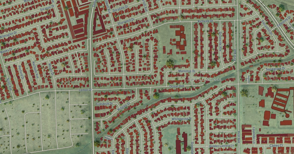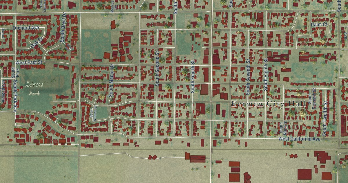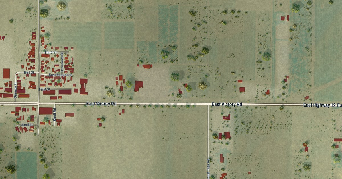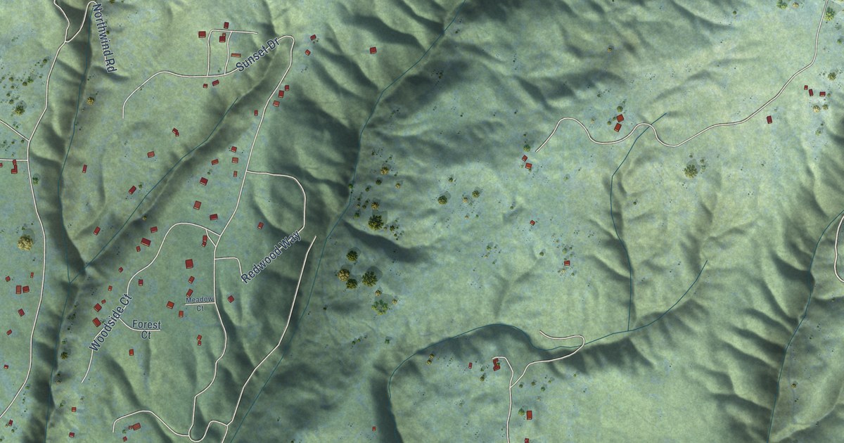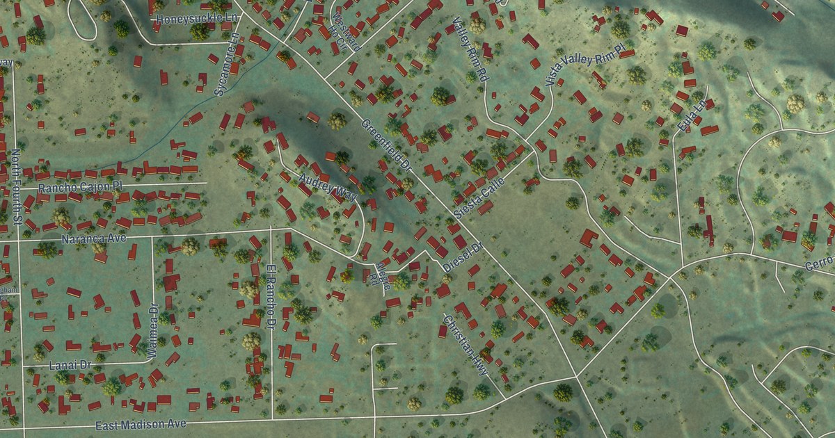
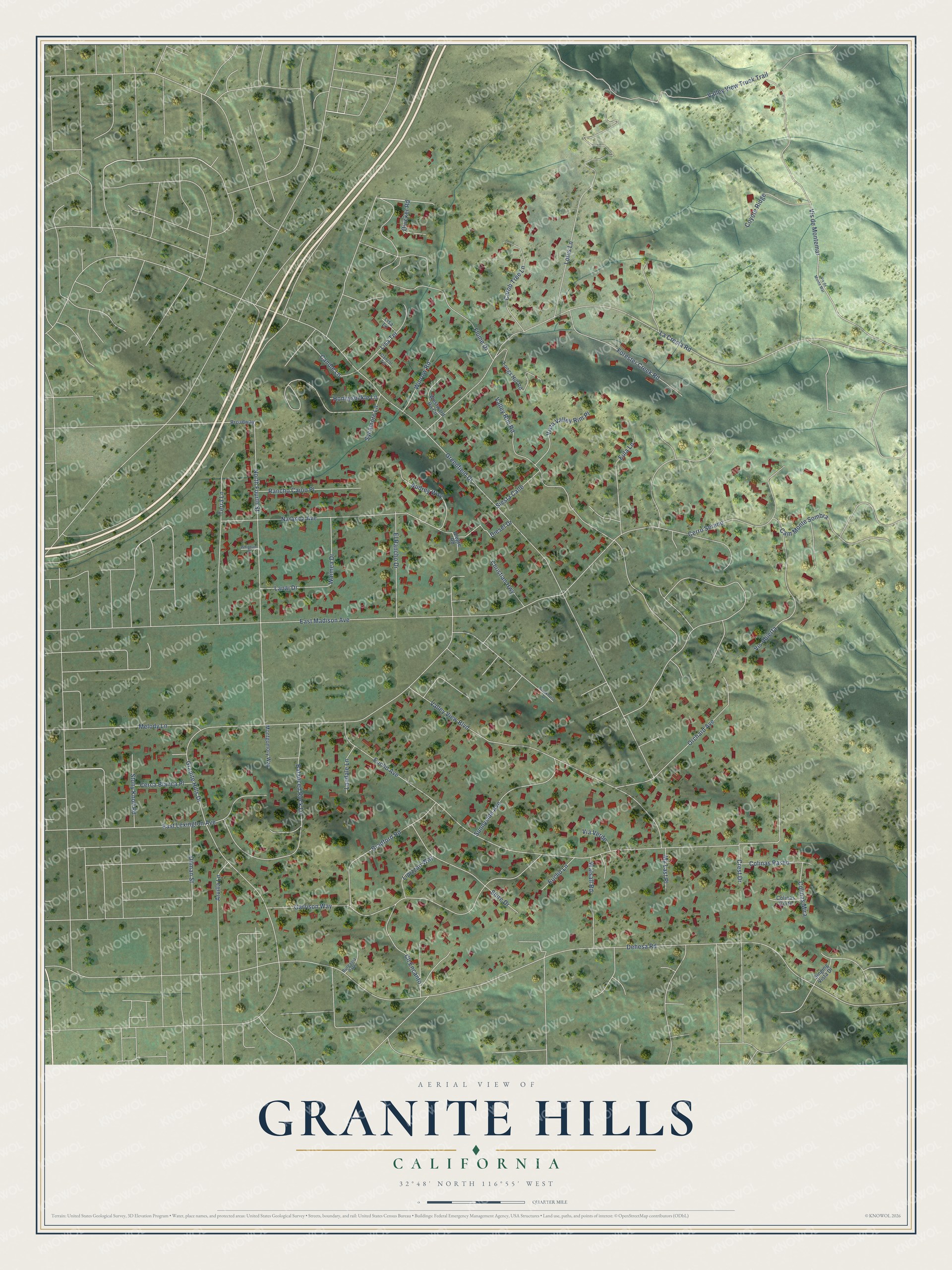
This beautifully detailed map of Granite Hills, California was created in 2026 using aerial imagery combined with modern topographical, census, street and landmark data. It's a modern aerial view of Granite Hills in San Diego County, California, that combines modern data with a vintage aesthetic. The roads feature printed names, and if you look closely you can find your exact house accurately shown in its correct location.
Explore an aerial view of Granite Hills, California
On this map you'll find Quicker Road, Dehesa Road, Euclid Avenue, La Cresta Road, Granite Hills Drive, East Madison Avenue, Greenfield Drive, Valley View Truck Trail, Garrison Way, Valley View Boulevard, Lotus Lane, Naranca Avenue, and more. Each red shape is a building, so zoom in on the preview and look for yours.
Granite Hills is a community in San Diego County. The Census Bureau counted 3,267 people here in 2020. Granite Hills sits about 2 miles west of Crest, 2 miles southeast of Bostonia and 3 miles southeast of Winter Gardens. The map prints the town name in its title panel, with the coordinates below it.
Take a closer look at the Granite Hills map
Names on this map
These names are printed on this map.
Streets and roads: Quicker Road, Dehesa Road, Euclid Avenue, La Cresta Road, Granite Hills Drive, East Madison Avenue, Greenfield Drive, Valley View Truck Trail, Garrison Way, Valley View Boulevard, Lotus Lane, Naranca Avenue.
More street names, A to Z
Alegre Road, Arvilla Lane, Audrey Way, Balanced Rock Lane, Bradford Road, Broadway, Brookhurst Drive, Burgasia Path, Cam Monte Sombra, Candle Lane, Carob Tree Lane, Cerca Blanca Place, Cerro Sereno, Christian Highway, Cll Encanto, Colinas Corte, Colinas Mira, Colinas Paseo, Coyote Ridge, Crest Drive, Dancol Terrace, Diesel Drive, Dilman Street, East Lexington Avenue, El Rancho Drive, Euclid Lane, Eula Lane, Flume Drive, Forester Creek Road, Honeysuckle Lane, Lanai Drive, Landale Lane, Lipizzan Way, Lisa Lane, Lisa Terrace, Longs Hill Road, Melody Lane, Montgomory Way, My Last Place, North Fourth Street, Orchard Avenue, Rancho Cajon Place, Shire Drive, Siesta Calle, Singing Vista Drive, Stony Knoll Road, Sunnyside Avenue, Sycamore Lane, Terra Lane, Valley Rim Road, Via Verde, Vis Abierta, Vis de Montemar, Vis de Monte Mar, Vista Valley Rim Place, Waimea Drive, Walsall Road, Westward Ho Circle, Whigham Place, Winrow Road.
See it on a wall
The Granite Hills map as a framed print. Swipe for more.


Created by KNOWOL in 2026. The buildings are small red shapes, the roads carry their printed names, and shaded relief shows the shape of the land. The title panel reads "AERIAL VIEW OF GRANITE HILLS, CALIFORNIA" with 32°48' NORTH 116°55' WEST.
It looks right in a kitchen, an office or a den, and it's a gift for anyone who grew up in Granite Hills or moved away. Open the preview and find your street. See sizes and frames for the Granite Hills map.