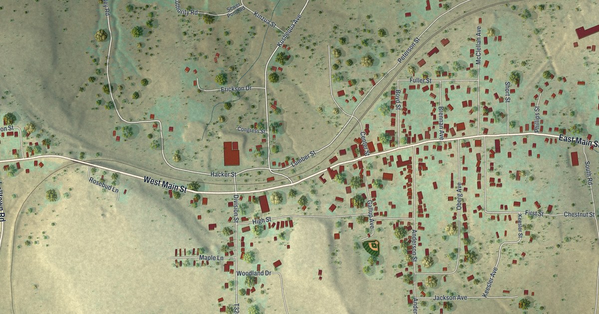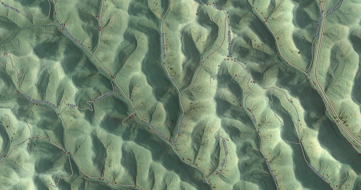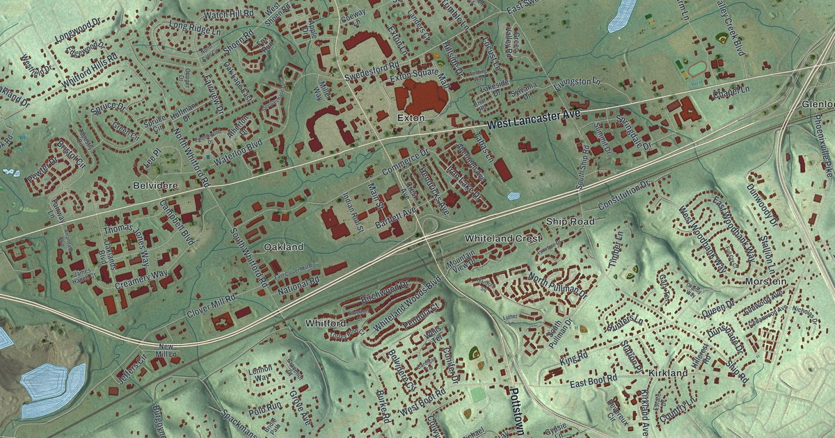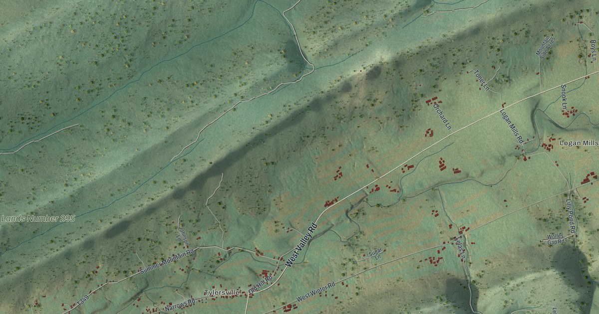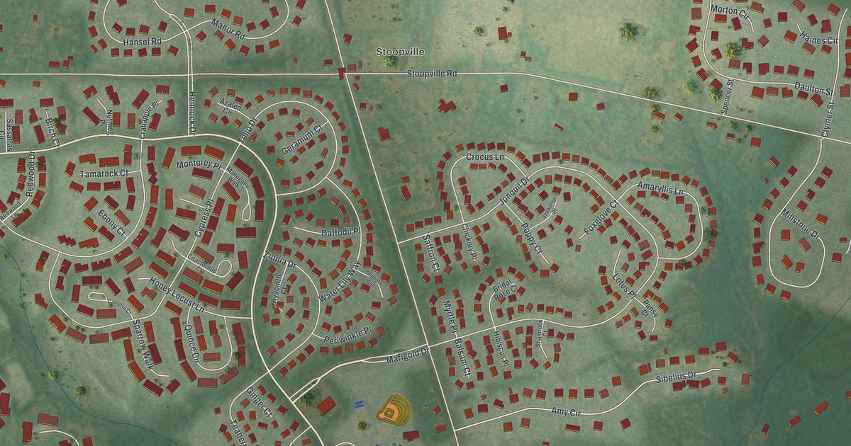
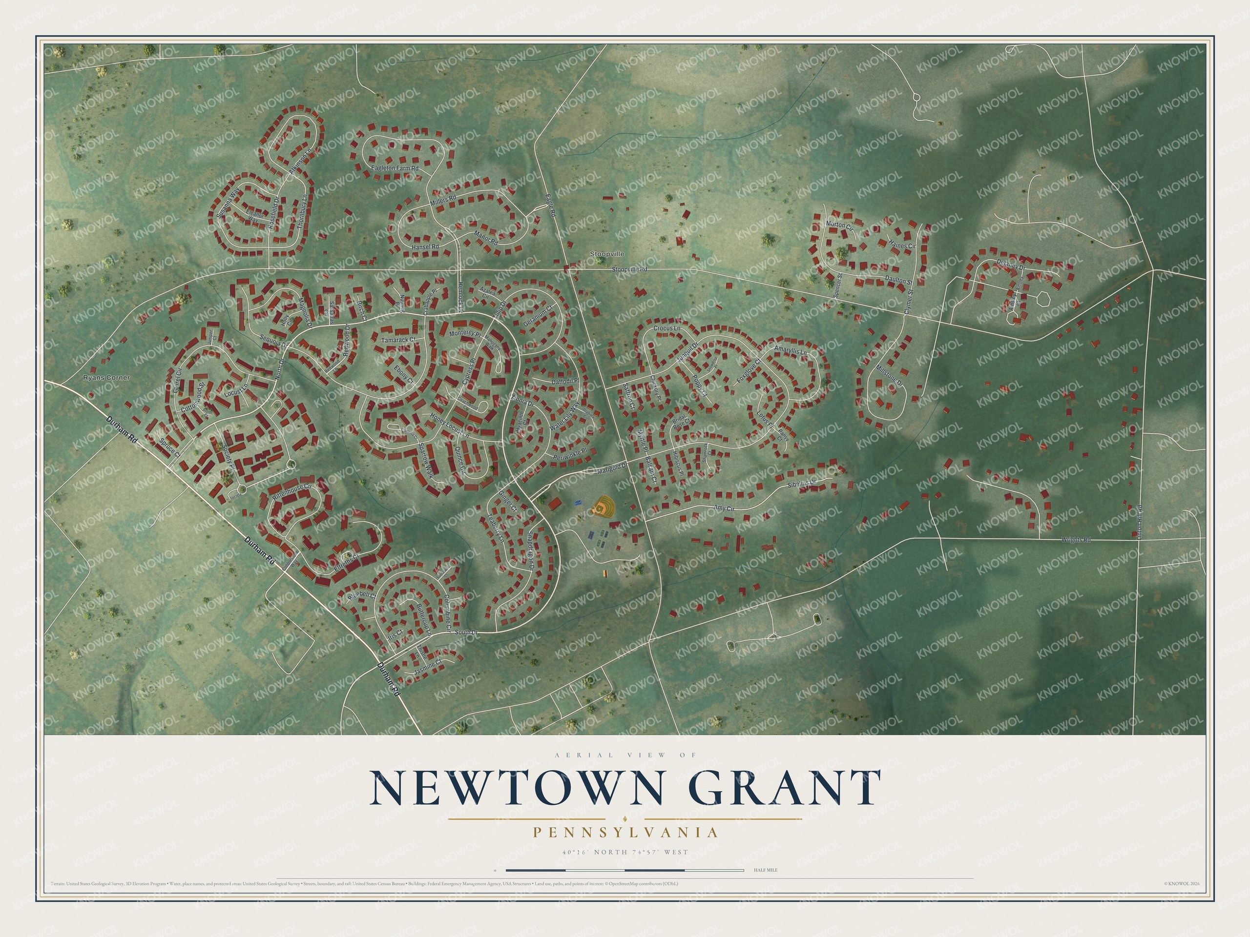
This beautifully detailed map of Newtown Grant, Pennsylvania was created in 2026 using aerial imagery combined with modern topographical, census, street and landmark data. It's a modern aerial view of Newtown Grant in Bucks County, Pennsylvania, that combines modern data with a vintage aesthetic. The roads feature printed names, and if you look closely you can find your exact house accurately shown in its correct location.
Explore an aerial view of Newtown Grant, Pennsylvania
On this map you'll find Stoopville, Ryans Corner, Durham Road, South Drive, Marigold Drive, North Drive, Society Place, Thornbury Lane, Stoopville Road, Wrights Road, Eagle Road, Jonquil Drive, and more. Each red shape is a building, so zoom in on the preview and look for yours.
Newtown Grant is a community in Bucks County. The Census Bureau counted 5,855 people here in 2020. Newtown Grant sits about 3 miles northeast of Richboro, 4 miles north of Village Shires and 5 miles northwest of Woodside. The map prints the town name in its title panel, with the coordinates below it.
Take a closer look at the Newtown Grant map
Names on this map
These names are printed on this map.
Places: Stoopville and Ryans Corner.
Streets and roads: Durham Road, South Drive, Marigold Drive, North Drive, Society Place, Thornbury Lane, Stoopville Road, Wrights Road, Eagle Road, Jonquil Drive, Delaney Drive, Sibelius Drive.
More street names, A to Z
Ainsley, Ainsley Court, Amaryllis Lane, Amy Circle, Aspen Court, Atkinson Lane, Azalea Circle, Balsam Court, Birch Court, Bluebell Court, Bridal Rose Court, Buttercup Lane, Camellia Court, Chickory Place, Clymer Street, Coachwood Court, Cobblestone Way, Columbine Circle, Cottonwood Street, Crabapple Place, Crocus Lane, Cypress Place, Daffodil Place, Daulton Street, Eagleton Farm Road, Ebony Court, Eleanor Way, Elfreths Court, Foxglove Court, Geranium Court, Ginger Court, Gladiola Circle, Haines Circle, Hansel Road, Hemlock Drive, Hibiscus Place, Holly Circle, Honey Locust Lane, Hyacinth Court, Iris Court, Jasmine Court, Juniper Court, Laurel Circle, Linton Hill Road, Locust Lane, Lotus Place, Magnolia Drive, Mahogany Walk, Manor Road, Millers Road, Millstone Drive, Monterey Place, Morton Circle, Myrtle Place, Nutmeg Place, Pansy Court, Periwinkle Place, Poppy Court, Quince Circle, Redwood Drive, Redwood Lane, Rittenhouse Circle, Rosefield Drive, Saffron Court, Sassafras Circle, Sequoia Drive, Shamrock Court, Snapdragon Drive, Snowdrop Place, Society, Sparrow Walk, Spencer Street, Spruce Court, Sunflower Court, Susanna Way, Tamarack Court, Teaberry Lane, Thistle Lane, Tulip Drive, Water Lily Way, Zinnia Drive.
See it on a wall
The Newtown Grant map as a framed print. Swipe for more.


Created by KNOWOL in 2026. The buildings are small red shapes, the roads carry their printed names, and shaded relief shows the shape of the land. The title panel reads "AERIAL VIEW OF NEWTOWN GRANT, PENNSYLVANIA" with 40°16' NORTH 74°57' WEST.
Hang it in the hallway, the office or the cabin, or give it to someone who left Newtown Grant and still calls it home. Open the preview and look for a street you know. See sizes and frames for the Newtown Grant map.