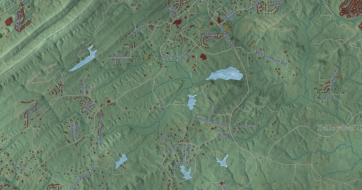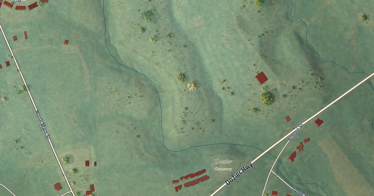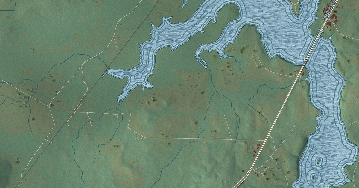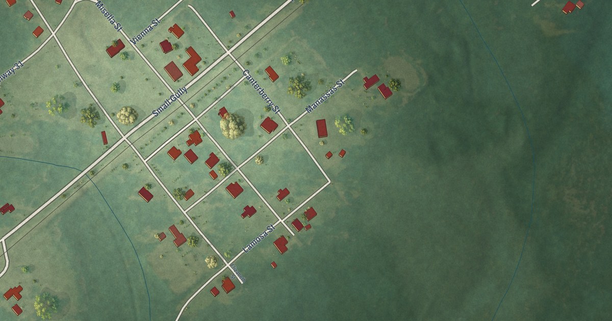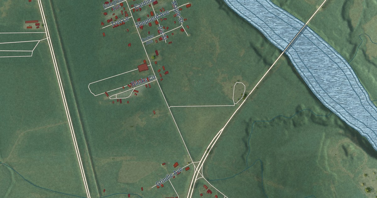
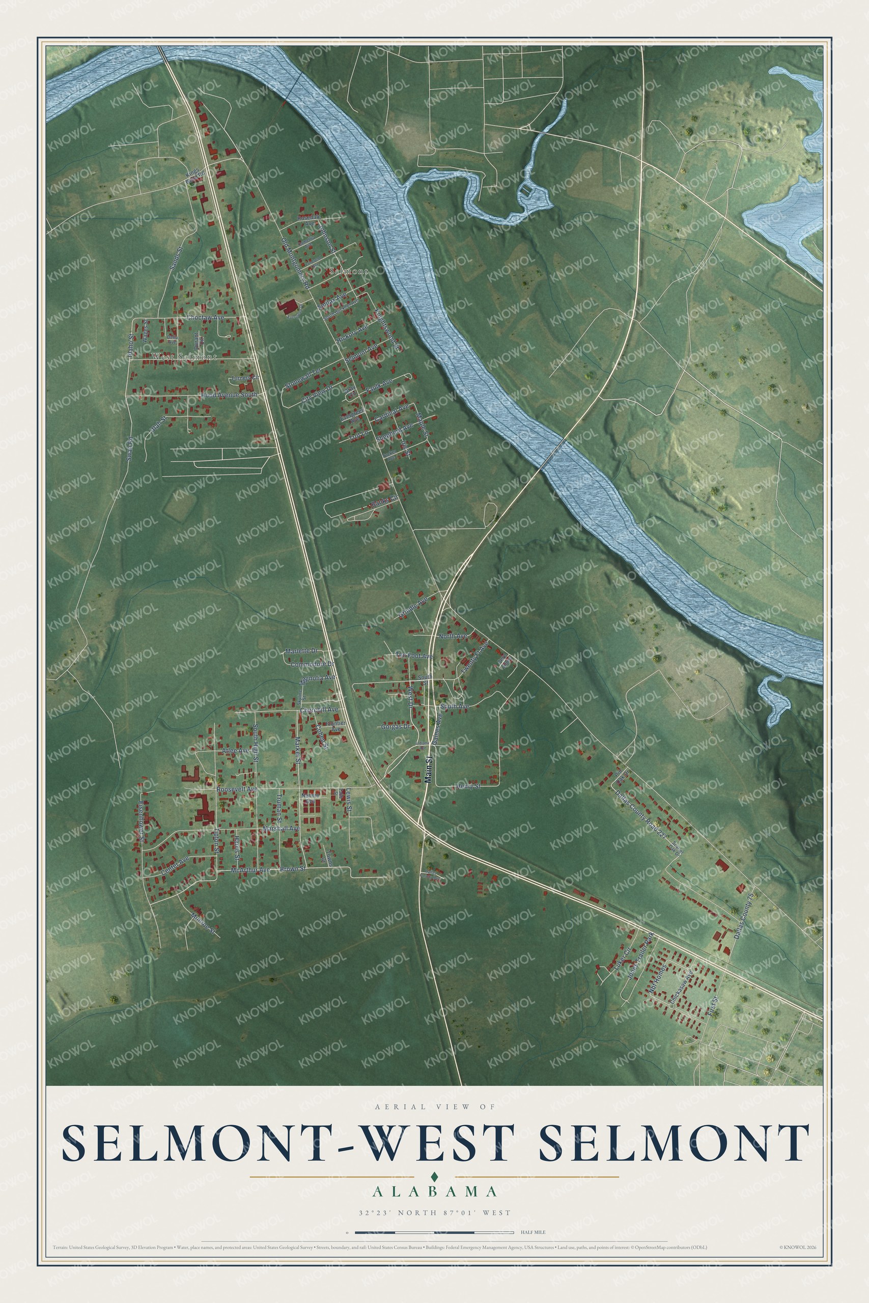
This beautifully detailed map of Selmont-West Selmont, Alabama was created in 2026 using aerial imagery combined with modern topographical, census, street and landmark data. It's a modern aerial view of Selmont-West Selmont in Dallas County, Alabama, that combines modern data with a vintage aesthetic. The roads feature printed names, and if you look closely you can find your exact house accurately shown in its correct location.
Explore an aerial view of Selmont-West Selmont, Alabama
On this map you'll find Selmont, West Selmont, Main Street, West Drive, Old Montgomery Road, Nbf Homes, Luker Circle, Brown Street, Dallas County Road 227, Swan Road, McArthur Avenue, Henry Street, and more. Each red shape is a building, so zoom in on the preview and look for yours.
Selmont-West Selmont is a community in Dallas County. The Census Bureau counted 2,158 people here in 2020. Selmont-West Selmont sits about 3 miles southeast of Selma, 8 miles south of Valley Grande and 12 miles northwest of Benton. The map prints the town name in its title panel, with the coordinates below it.
Take a closer look at the Selmont-West Selmont map
Names on this map
These names are printed on this map.
Places: Selmont, West Selmont and Jones Trailer Park.
Streets and roads: Main Street, West Drive, Old Montgomery Road, Nbf Homes, Luker Circle, Brown Street, Dallas County Road 227, Swan Road, McArthur Avenue, Henry Street, Roosevelt Avenue, Utah Street.
More street names, A to Z
Atlee Avenue, Banks Circle, Camellia Avenue, Cardinal Avenue, Center Avenue, Chickasaw Avenue, Choctaw Avenue, Churchill Avenue, City View Drive, Cohen Street, Commodore Drive, Dallas County 75, Dallas County 943, Della Avenue, Durant Circle, Eisenhower Street, Evergreen Avenue, Evergreen Drive, Faulk Avenue, Fern Alley, First Street, Frontier Avenue, Gaines Avenue, Gorgas Drive, Gray Circle, Grindle Avenue, Harris Street, Hickory Avenue, Hood Avenue South, Idaho Street, Indiana Avenue, Iris Street, Johnson Street, Kings Bend Road, Knightswood Street, Landsend Avenue, Lewis Street, Magnolia Avenue, Maple Street, Market Street, Marlette Drive, Marshall Avenue, Monroe Street, Nannie Avenue, North Avenue, Pin Oak Drive, Rosedale Avenue, Sands Street, Scarlet Oak Drive, Selmont Avenue, Shepherd Avenue, Skyline Street, Smilax Avenue, South Avenue, South Buckner Avenue, South High Street, South Street, Stonewall Terrace, Tabb Street, Ten Foot Avenue, Tipton Street, Towns Cr, Trot Lane, Truman Street, Tucker Avenue, Turners Circle, Twenty Ft Avenue, Wages Street.
See it on a wall
The Selmont-West Selmont map as a framed print. Swipe for more.


Created by KNOWOL in 2026. The buildings are small red shapes, the roads carry their printed names, and shaded relief shows the shape of the land. The title panel reads "AERIAL VIEW OF SELMONT-WEST SELMONT, ALABAMA" with 32°23' NORTH 87°01' WEST.
Hang it in the hallway, the office or the cabin, or give it to someone who left Selmont-West Selmont and still calls it home. Open the preview and look for a street you know. See sizes and frames for the Selmont-West Selmont map.