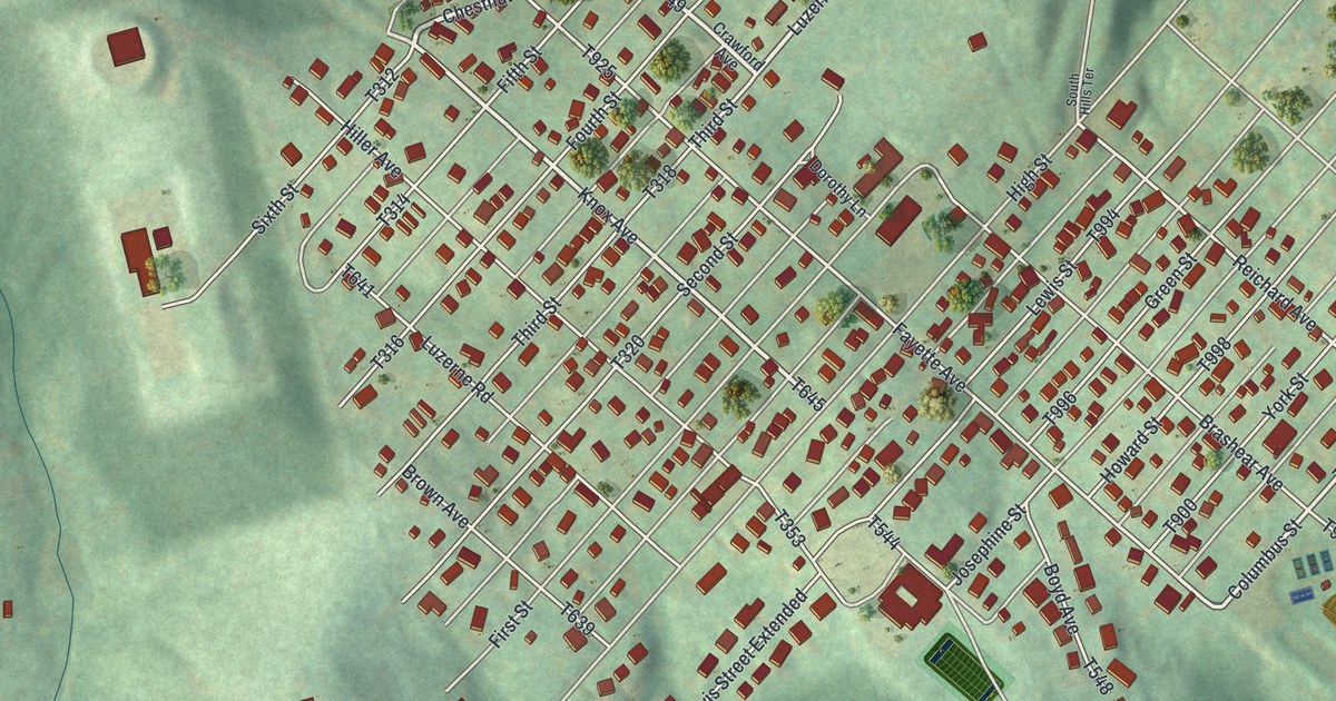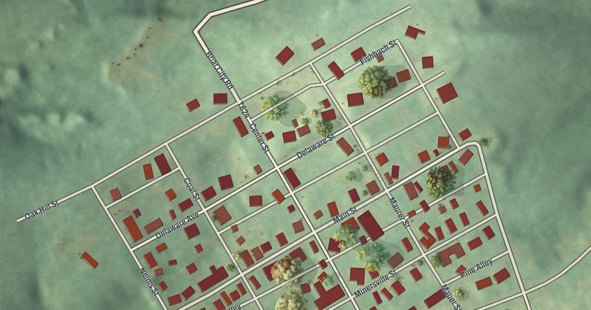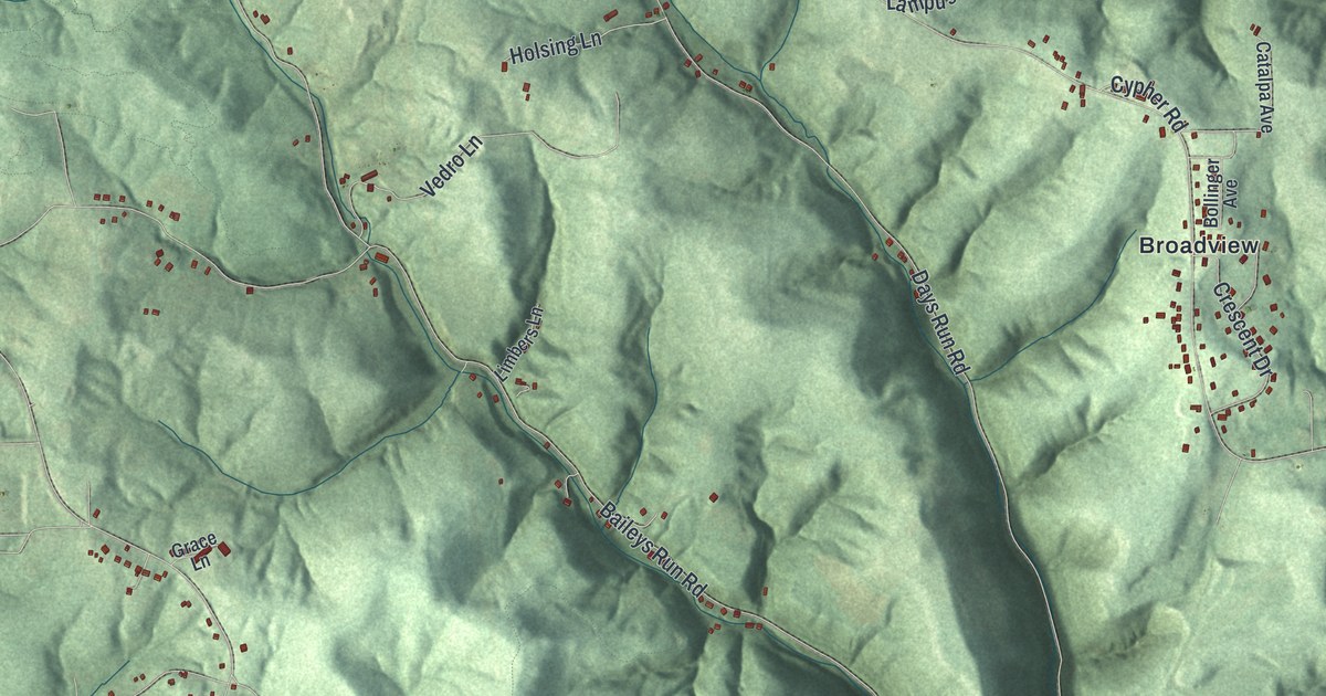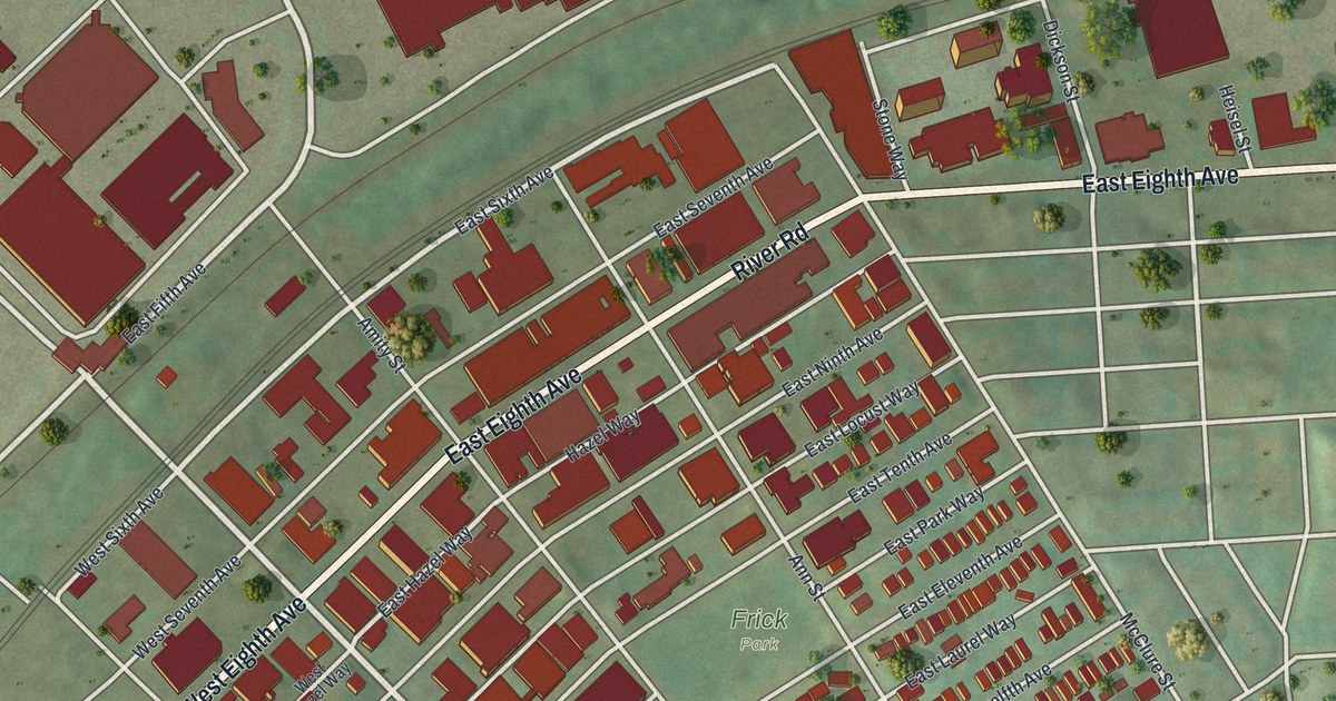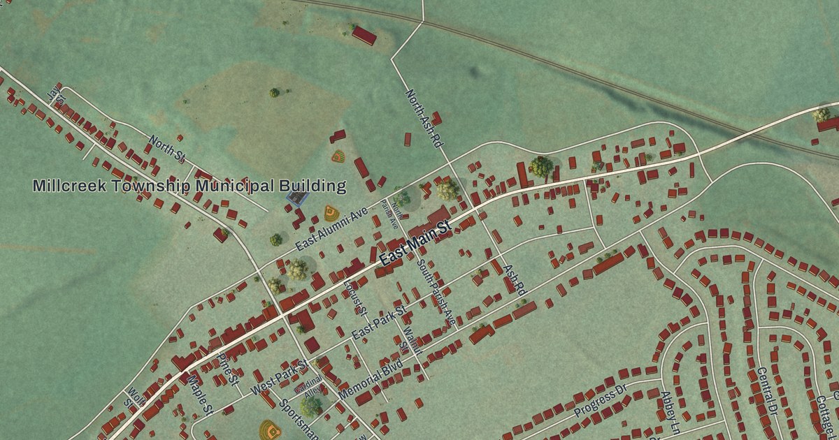
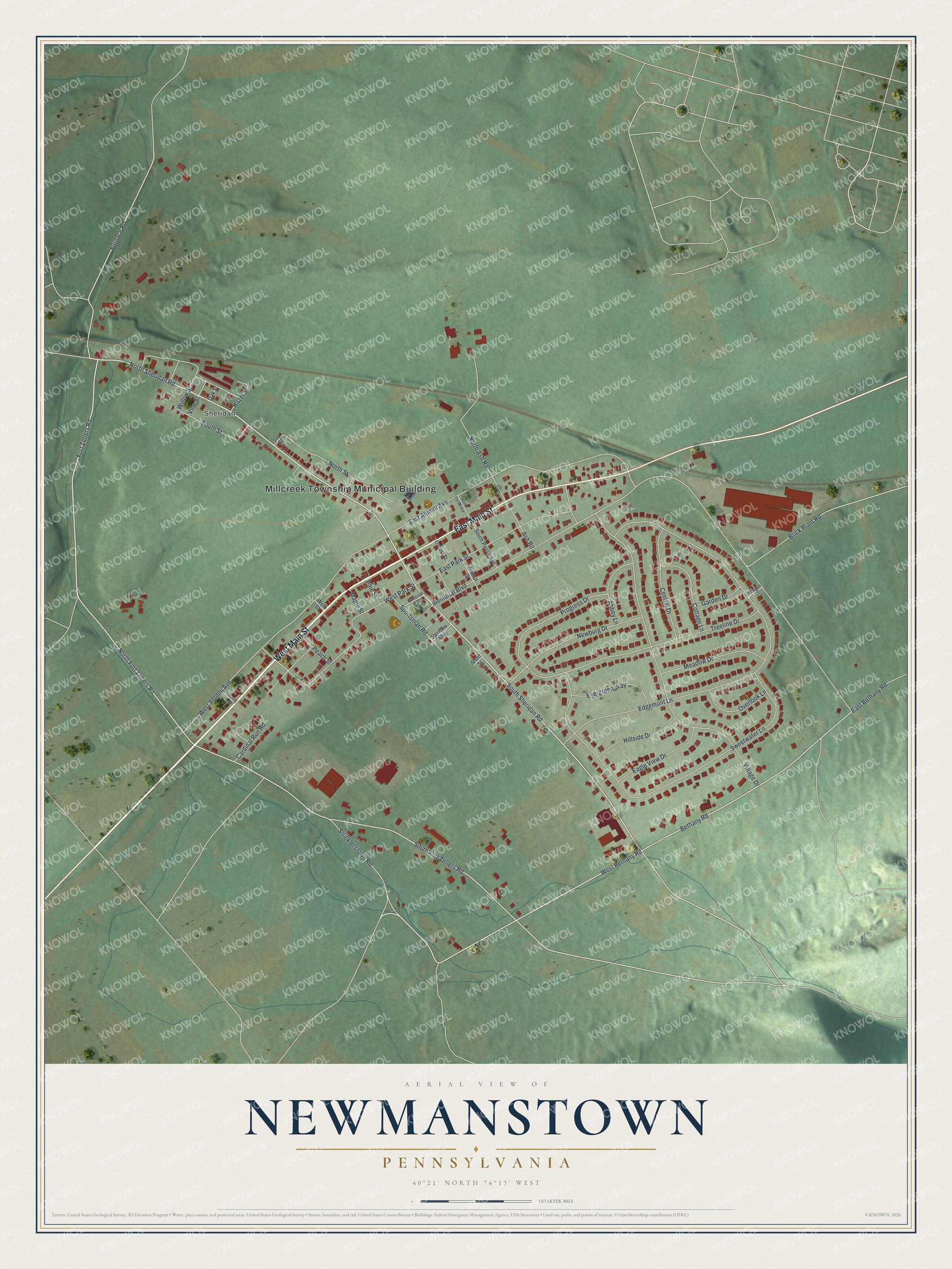
This beautifully detailed map of Newmanstown, Pennsylvania was created in 2026 using aerial imagery combined with modern topographical, census, street and landmark data. It’s a one-of-a-kind view of Newmanstown that combines accurate data with a vintage aesthetic. The map shows every building in its true location, many of the roads carry their names, and the shaded topographic relief shows the shape of the land.
Explore an aerial view of Newmanstown, Pennsylvania
On the map you’ll find Millcreek Township Municipal Building and Sheridan, along with West Main Street, East Main Street, North Sheridan Road, Fort Zellers Road, North Fort Zellers Road, Bethany Road, West Bethany Road, South Sheridan Road, South Fort Zellers Road, Furnace Road, and more. Newmanstown sits about 2 miles southwest of Womelsdorf, 2 miles southeast of Stouchsburg and 2 miles east of Richland. If you look closely you can even find your house accurately drawn in its correct location. Zoom in on the preview to look for yours.
Did You Know?
Newmanstown is named for the Newman family. Walter Newman came from Ireland with his wife, Elizabeth, and received two tracts of land from the Proprietaries in 1741. Early deeds called his town Newbury, and he leased its lots for a ground rent to be paid every year forever. The first house built only for a school was put up in Newmanstown in 1810, and in 1827 it was raised to two stories, with the upper floor used as a church. That's from the 1883 History of Dauphin and Lebanon Counties.
Take a closer look at the Newmanstown map
Names on this map
These names are printed on this map.
Places: Millcreek Township Municipal Building and Sheridan.
Streets and roads: West Main Street, East Main Street, North Sheridan Road, Fort Zellers Road, North Fort Zellers Road, Bethany Road, West Bethany Road, South Sheridan Road, South Fort Zellers Road, Furnace Road, Ash Road, Memorial Boulevard.
More street names, A to Z
Abbey Lane, Brick Plant Road, Cardinal Alley, Cardinal Run Road, Central Drive, Cottage Lane, Eagle View Drive, East Alumni Avenue, East Bethany Road, East Park Street, Edgemont Lane, Evergreen Way, Garden Drive, Hazel Street, Hillside Drive, Jay Street, Locust Street, Maple Street, Meadow Drive, Morgan Drive, Newburg Drive, North Ash Road, North Parish Avenue, North Street, Oak Street, Overlook Lane, Peach Street, Pine Street, Progress Drive, Short Street, South Parish Avenue, South Street, Sparrow Alley, Sportsman Road, Spring Street, Stricklerstown Road, Sweetwater Lane, Treeline Drive, Village Drive, Vine Street, Walnut Street, West Alumni Avenue, West Park Street, Willow Street, Wolf Street.
See it on a wall
The Newmanstown map as a framed print. Swipe for more.


This beautifully detailed map of Newmanstown makes an attractive addition to your office, library, or den, and it can even be used to teach children the geography and history of the area. It also makes a great gift for anyone who grew up in Newmanstown or moved away. When you’re done exploring, click here to get your copy of the Newmanstown map.