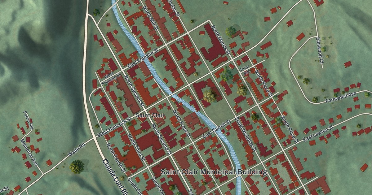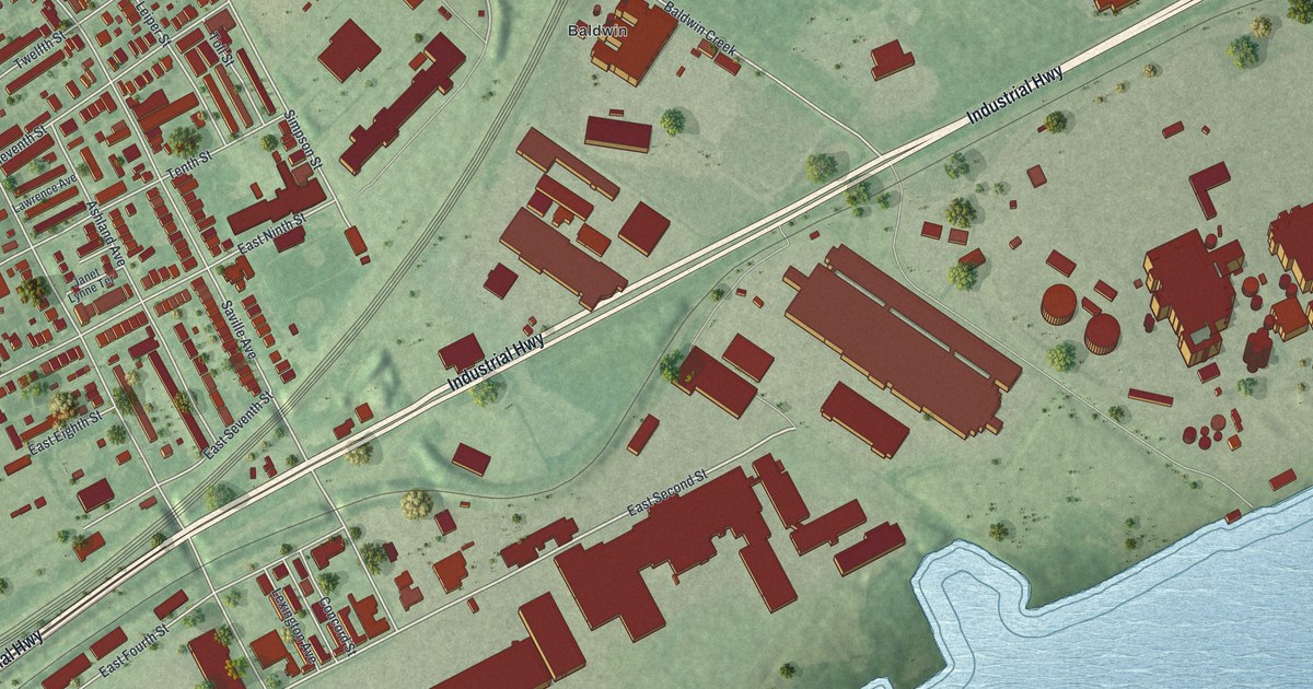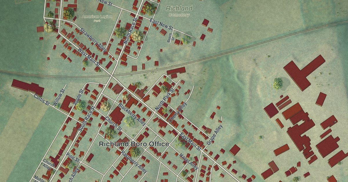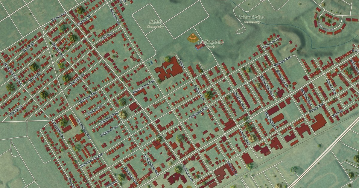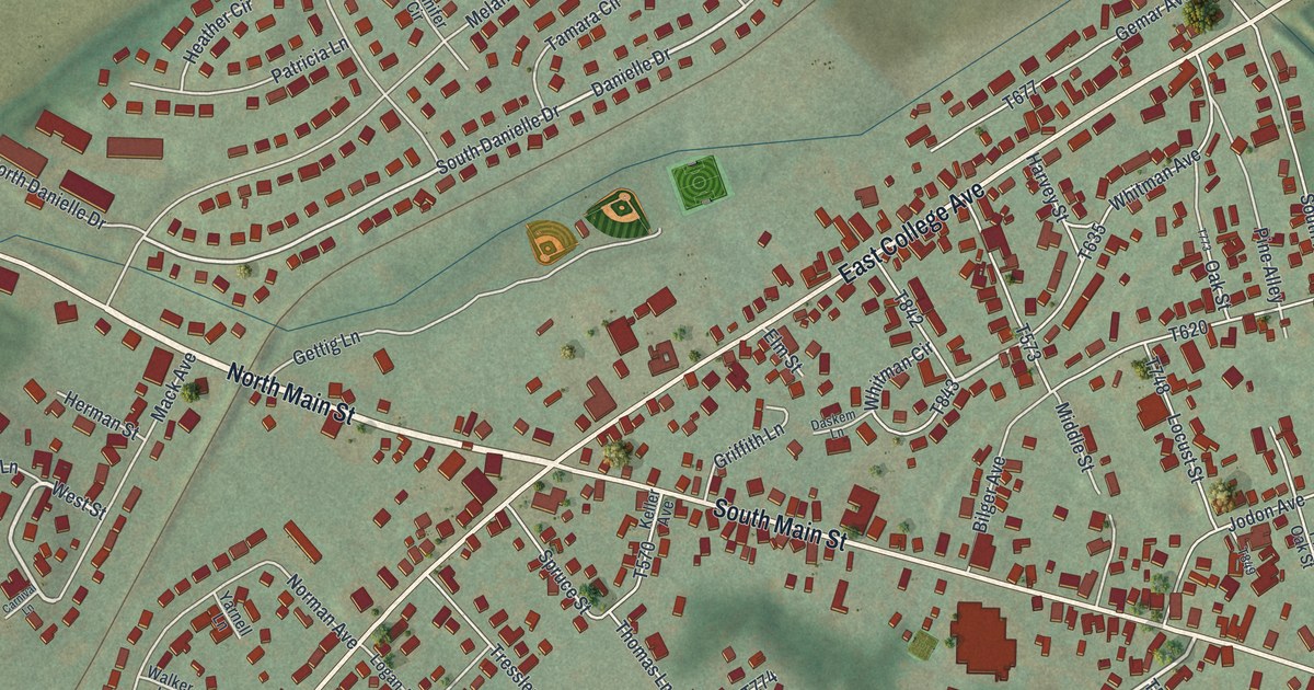
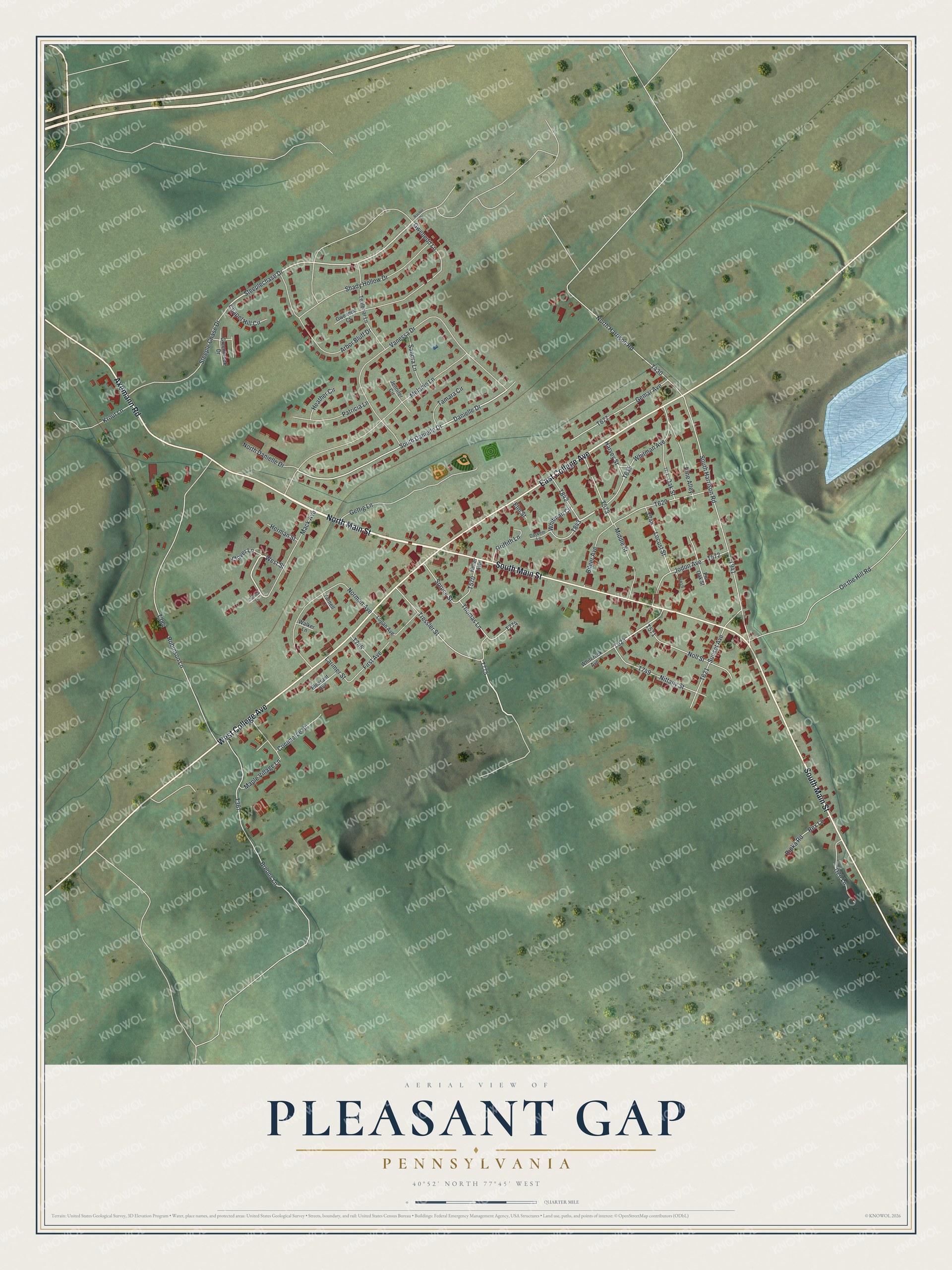
This beautifully detailed map of Pleasant Gap, Pennsylvania was created in 2026 using aerial imagery combined with modern topographical, census, street and landmark data. It’s a one-of-a-kind view of Pleasant Gap that combines accurate data with a vintage aesthetic. The map shows every building in its true location, many of the roads carry their names, and the shaded topographic relief shows the shape of the land.
Explore an aerial view of Pleasant Gap, Pennsylvania
On the map you’ll find North Main Street, South Main Street, East College Avenue, West College Avenue, Axemann Road, Tressler Street, West Street, South Danielle Drive, Steeplechase Drive, Gwenedd Lane, and more. If you look closely you can even find your house accurately drawn in its correct location. Zoom in on the preview to look for yours.
Did You Know?
From the 1883 History of Centre County: "The village of Pleasant Gap, lying on the Lewistown and Bellefonte pike, at the base of Nittany Mountain, was laid out in 1845, on land owned by William Riddle and John Swaney." John Swaney built the first house there in 1845 and kept the Green Tree tavern in it. His father, Michael Swaney, had settled on the farm by 1800, and John remembered him getting up at night to chase wolves from the cabin door.
Take a closer look at the Pleasant Gap map
Names on this map
These names are printed on this map.
Streets and roads: North Main Street, South Main Street, East College Avenue, West College Avenue, Axemann Road, Tressler Street, West Street, South Danielle Drive, Steeplechase Drive, Gwenedd Lane, Robinson Lane, Vanessa Drive.
More street names, A to Z
Arbor Bluff Drive, Bilger Avenue, Breons Lane, Carnival Lane, Chapel Hill Circle, Clover Lane, Commerce Street, Danielle Drive, Daskem Lane, Elm Street, First Avenue, Gemar Avenue, Gettig Lane, Greenbrook Drive, Griffith Lane, Gwenedd Court, H20 Lane, Harvey Street, Heather Circle, Herman Street, Jennifer Circle, Jodon Avenue, Keller Avenue, Krout Lane, Larimer Street, Locust Street, Logan Avenue, Mack Avenue, Maple Village Lane, Melanie Lane, Middle Street, Nittany Street, Noll Street, Norman Avenue, North Danielle Drive, North Harrison Road, Oak Street, On the Hill Road, Patricia Lane, Pine Alley, Pin Oak Street, Pleasant Avenue, Rachel Drive, Rex Lane, Ripka Road, Sandra Lane, Shady Hollow Drive, South Harrison Road, Spruce Street, Steeple Chase Drive, Sunset Avenue, Tamara Circle, Tealbriar Lane, Thomas Lane, Walker Lane, Whiterock Avenue, Whitman Avenue, Whitman Circle, Yarnell Lane.
See it on a wall
The Pleasant Gap map as a framed print. Swipe for more.


This beautifully detailed map of Pleasant Gap makes an attractive addition to your office, library, or den, and it can even be used to teach children the geography and history of the area. It also makes a great gift for anyone who grew up in Pleasant Gap or moved away. When you’re done exploring, click here to get your copy of the Pleasant Gap map.