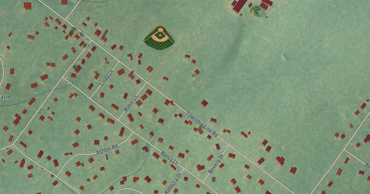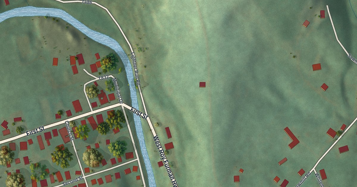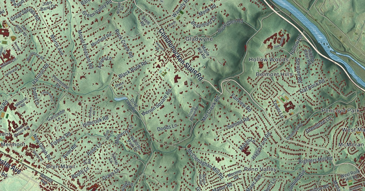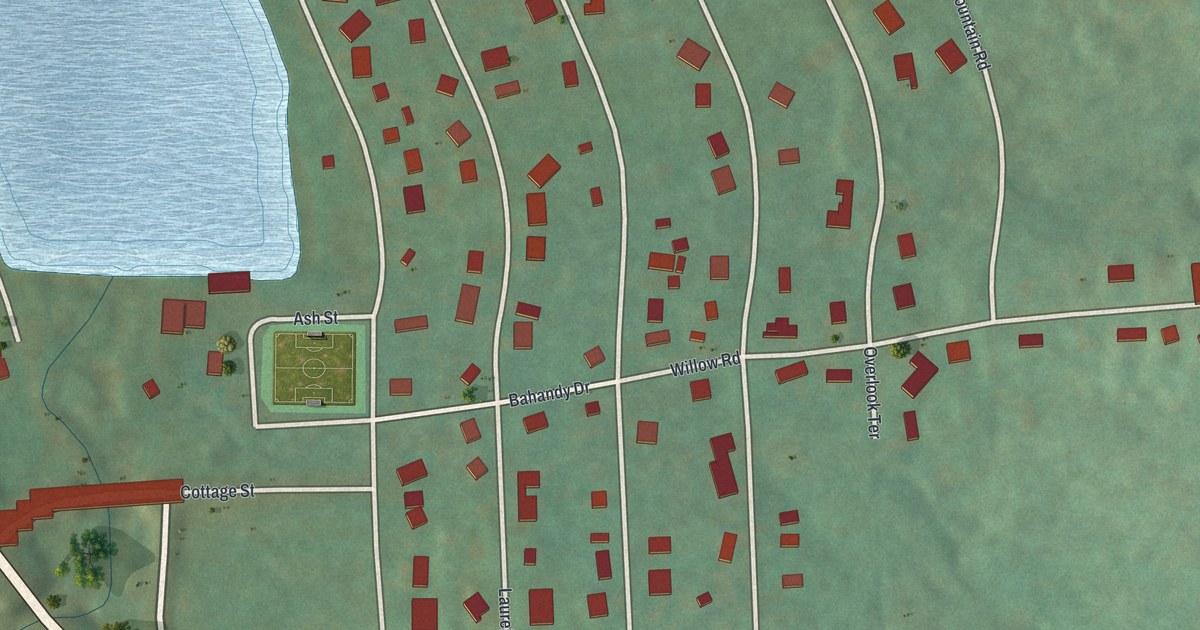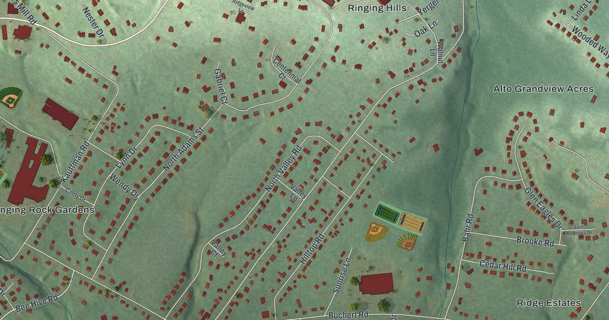
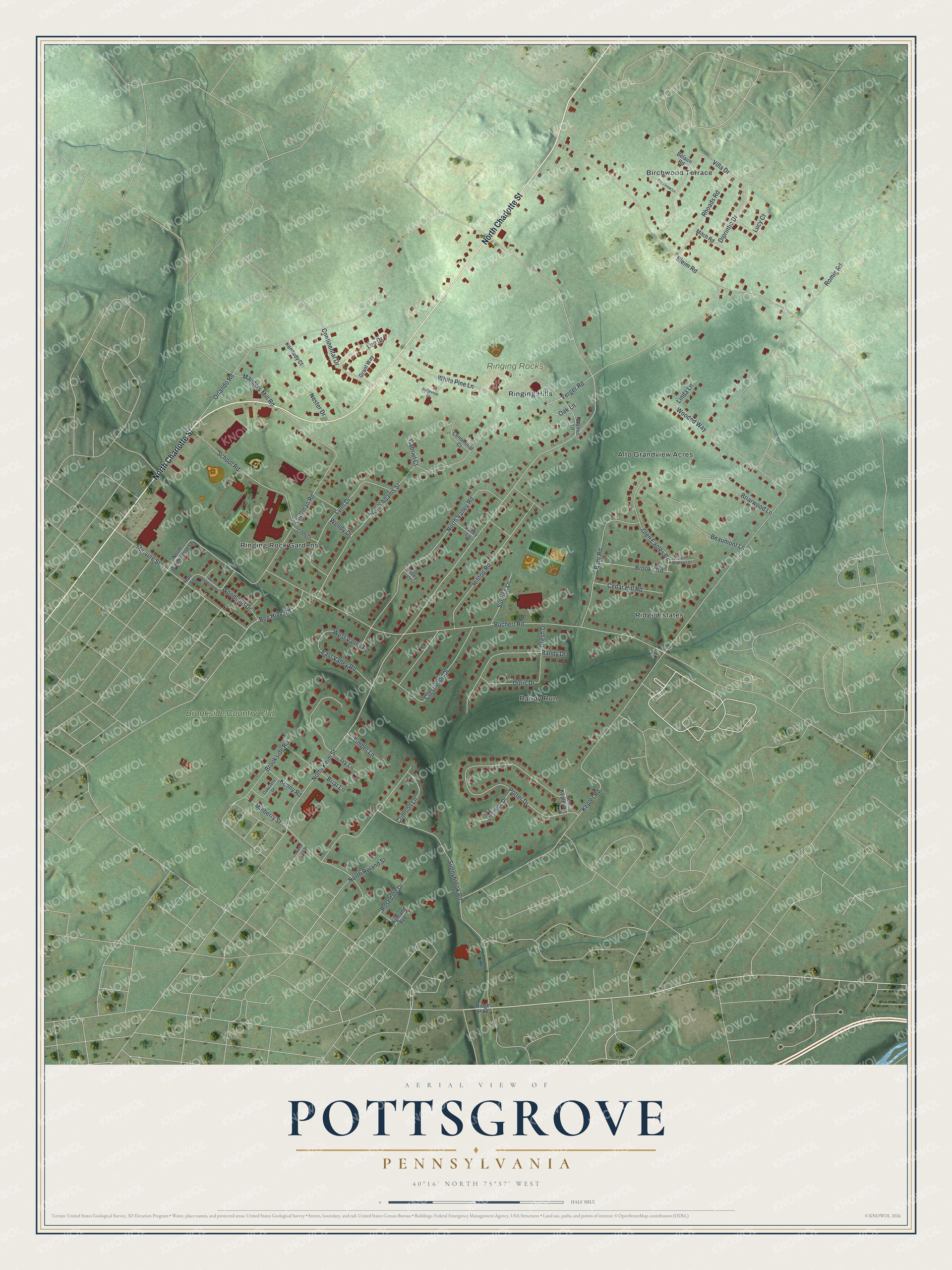
This beautifully detailed map of Pottsgrove, Pennsylvania was created in 2026 using aerial imagery combined with modern topographical, census, street and landmark data. It’s a one-of-a-kind view of Pottsgrove that combines accurate data with a vintage aesthetic. The map shows every building in its true location, many of the roads carry their names, and the shaded topographic relief shows the shape of the land.
Explore an aerial view of Pottsgrove, Pennsylvania
On the map you’ll find Ringing Rocks Park, Ringing Rock Gardens, Ridge Estates, Randy Run, Alto Grandview Acres, Ringing Hills, and Brookside Country Club, along with Birchwood Terrace, North Charlotte Street, North Keim Street, Bee Hive Road, Kepler Road, and more. Pottsgrove sits about 2 miles southeast of Halfway House, 2 miles northeast of Pottstown and 3 miles northeast of Kenilworth. If you look closely you can even find your house accurately drawn in its correct location. Zoom in on the preview to look for yours.
Did You Know?
Sunnybrook Farm opened as a picnic grove in 1902, and in 1931 its owner Ray Hartenstine built a large dance hall there for the teens and young adults of the area. Cab Calloway, Count Basie, Louis Armstrong and the Dorsey Brothers all played the Sunnybrook Ballroom, often more than once. He enlarged the hall in 1937, and after it closed in 2005 the nonprofit Sunnybrook Foundation bought it, restored it and reopened it as an events hall. That's from the Pennsylvania Historic Preservation Office.
Take a closer look at the Pottsgrove map
Names on this map
These names are printed on this map.
Places: Ringing Rocks Park, Ringing Rock Gardens, Birchwood Terrace, Ridge Estates, Randy Run, Alto Grandview Acres, Ringing Hills and Brookside Country Club.
Streets and roads: North Charlotte Street, North Keim Street, Bee Hive Road, Kepler Road, North Adams Street, Buchert Road, Orlando Road, Sunnybrook Road, Bleim Road, Potter Drive, North Valley Road, Kauffman Road.
More street names, A to Z
Bahr Road, Beaumont Lane, Belaire Road, Briar Lane, Briarwood Lane, Brooke Road, Brookside Road, Cedar Hill Road, Centennial Court, Cindy Drive, Continental Drive, Crestview Lane, Crestwood Drive, Crimson Lane, Diprintio Drive, Doris Drive, East Valley Road, Gabriel Court, Glen Eagles Drive, Grant Way, Gresh Drive, Hale Street, Highland Avenue, Hilltop Road, Ivy Lane, Kennedy Court, Kenny Road, Lee Drive, Linda Lane, Lucy Court, Lynn Drive, Maugers Mill Road, Mervine Street, Mitch Road, Mulberry Street, Nester Drive, New Kepler Road, North Price Street, North Roland Street, North Washington Street, Oakcrest Drive, Oak Lane, Overlook Drive, Randy Drive, Rhoads Road, Ridge Pike, Ridgeview Lane, Romig Road, Rosedale Drive, Saint Andrews Drive, School Road, Sunrise Lane, Timber Lane, Valley Court, Valley Lane, Villa Drive, Walnut Lane, Wendy Drive, West Valley Road, West Woodland Drive, White Pine Lane, Wooded Way, Woodland Drive, Yerger Road.
See it on a wall
The Pottsgrove map as a framed print. Swipe for more.


This beautifully detailed map of Pottsgrove makes an attractive addition to your office, library, or den, and it can even be used to teach children the geography and history of the area. It also makes a great gift for anyone who grew up in Pottsgrove or moved away. When you’re done exploring, click here to get your copy of the Pottsgrove map.