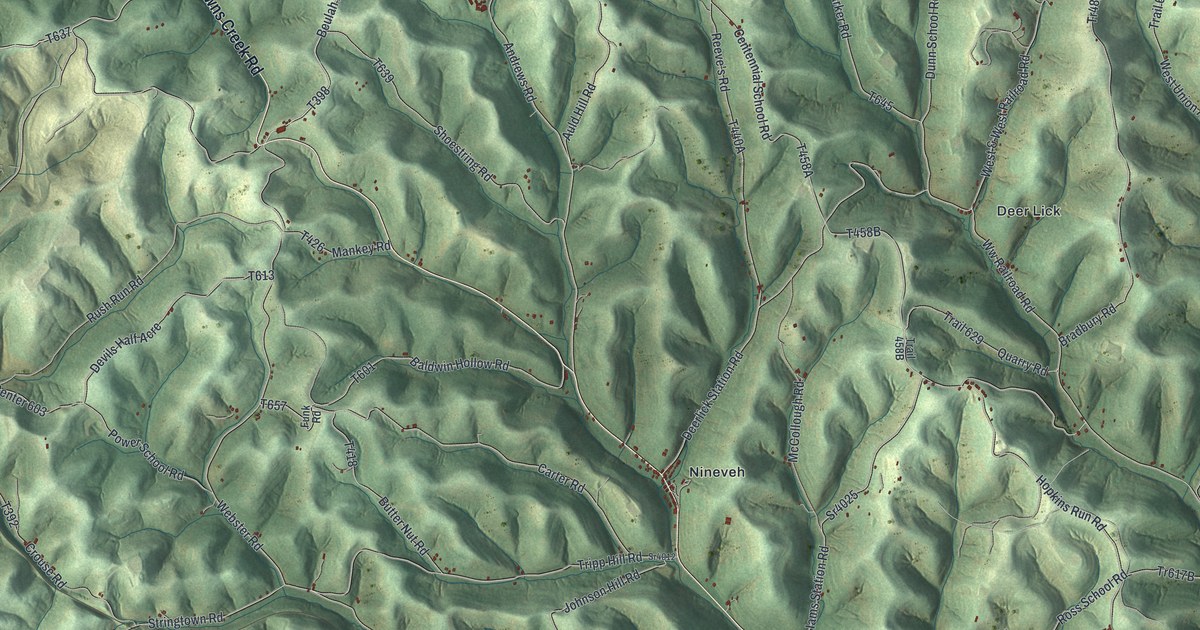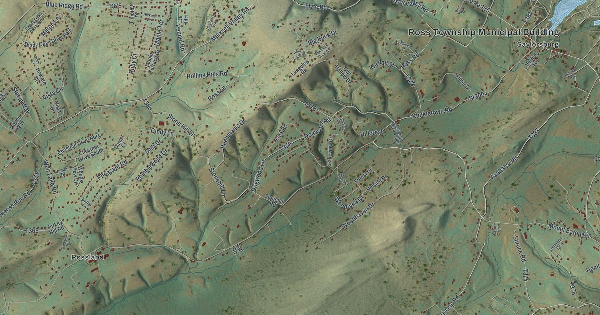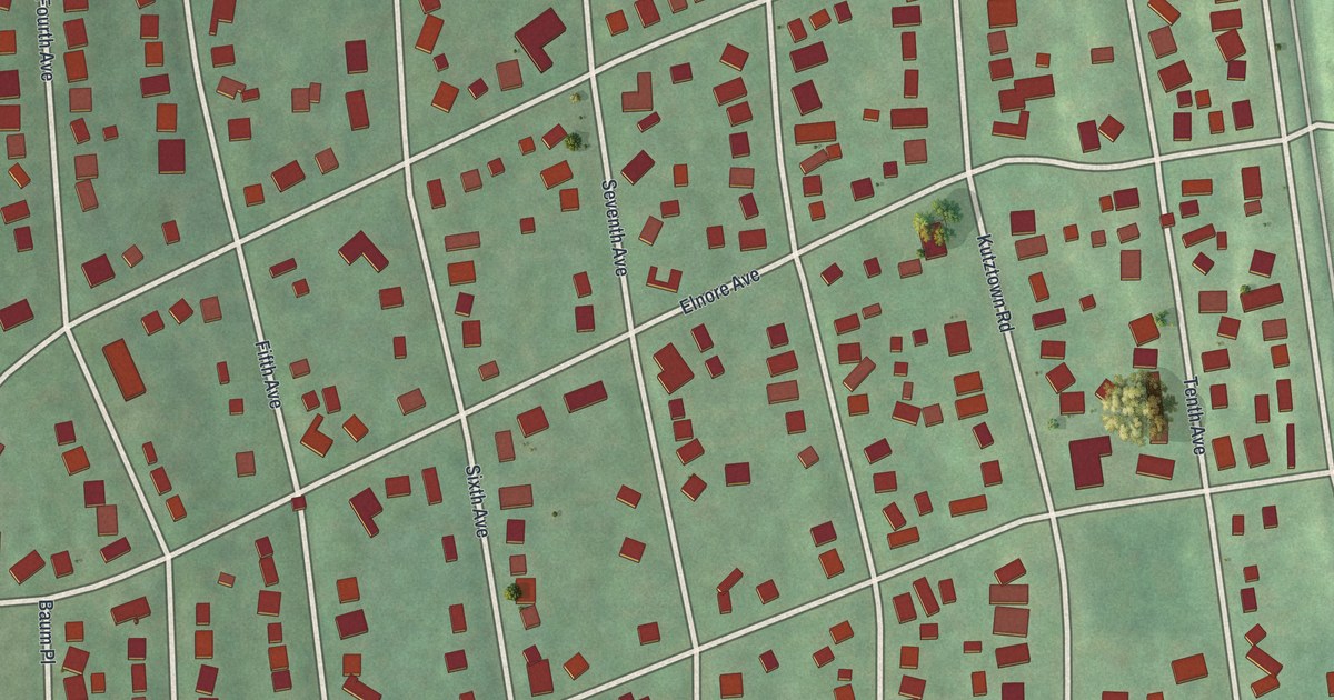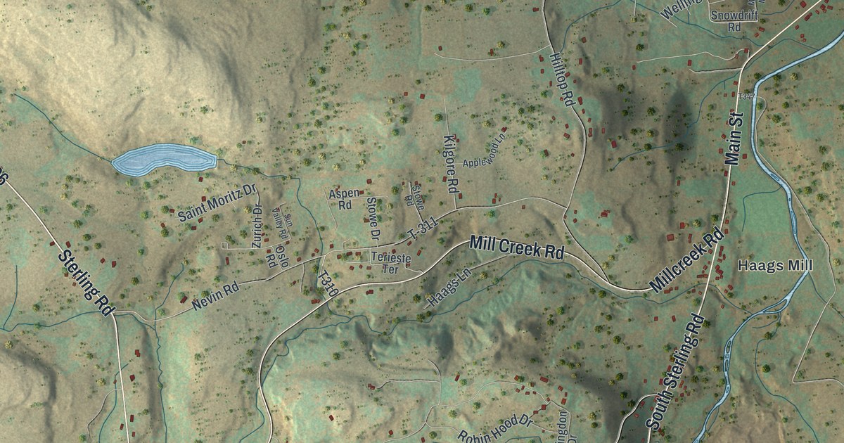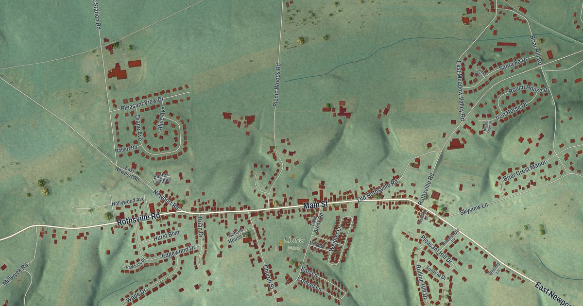
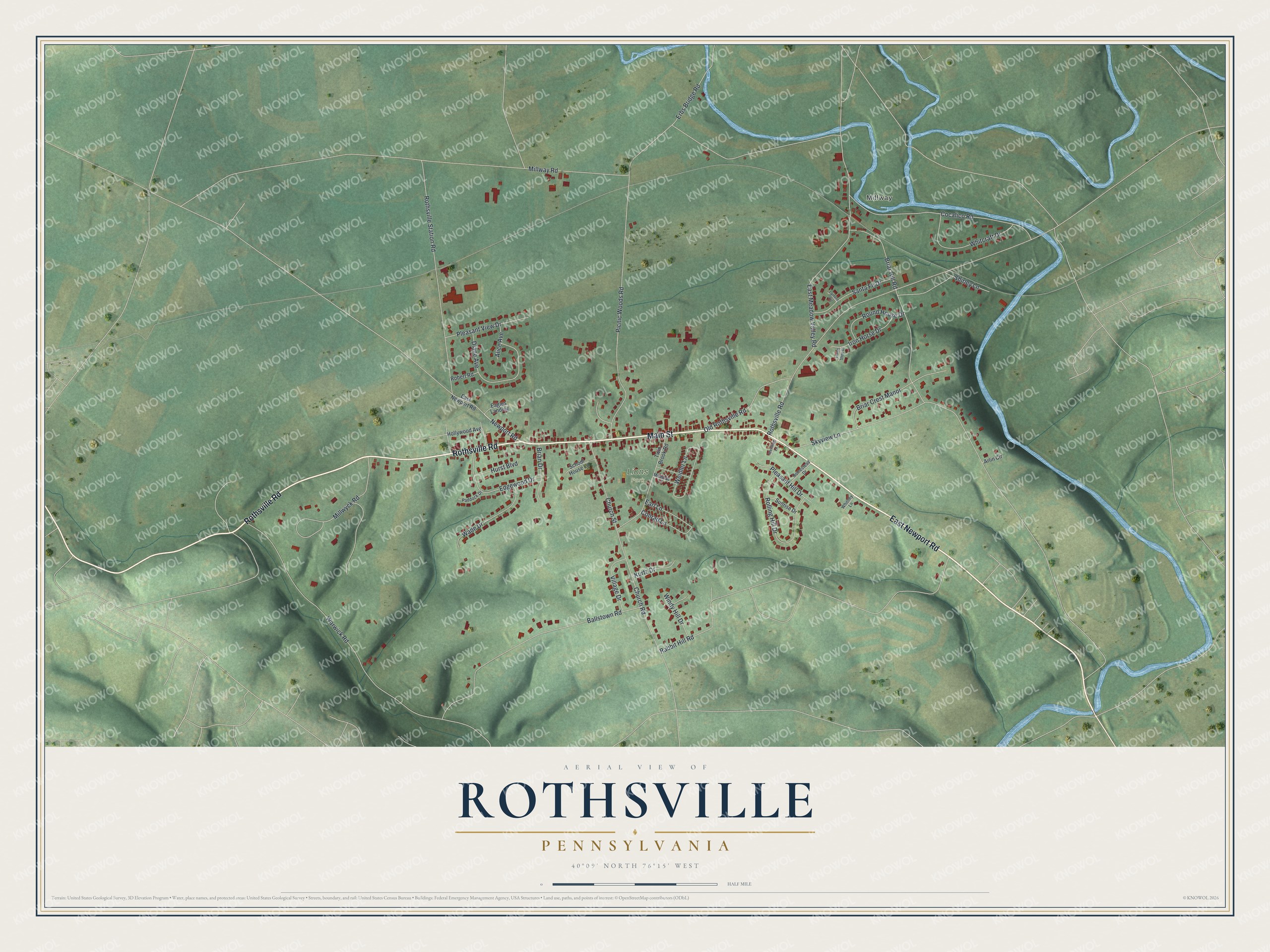
This beautifully detailed map of Rothsville, Pennsylvania was created in 2026 using aerial imagery combined with modern topographical, census, street and landmark data. It's a modern aerial view of Rothsville in Lancaster County, Pennsylvania, that combines modern data with a vintage aesthetic. The roads feature printed names, and if you look closely you can find your exact house accurately shown in its correct location.
Explore an aerial view of Rothsville, Pennsylvania
On this map you'll find Millway, Lions Park, Main Street, Rothsville Road, East Newport Road, Newport Road, Millway Road, Rabbit Hill Road, Warwick Road, Picnic Woods Road, Ballstown Road, Rothsville Station Road, and more. Each red shape is a building, so zoom in on the preview and look for yours.
Every town has a first chapter, and Rothsville is no exception. The 1883 History of Lancaster County puts it this way: "The name of Rothsville was given to the village in honor of the Roth family. Philip Roth, about 1790, bought a tract of land of about eighty acres, and started a tavern at the junction of the Lititz and New Holland with the Newport road." A post office named Rothsville opened about 1845, after the stage route from Lititz to Reading was changed. Later the Columbia and Reading Railroad built a Rothsville station, and the town grew rapidly.
Rothsville is a community in Lancaster County. The Census Bureau counted 2,960 people here in 2020.
Take a closer look at the Rothsville map
Names on this map
These names are printed on this map.
Places: Millway and Lions Park.
Streets and roads: Main Street, Rothsville Road, East Newport Road, Newport Road, Millway Road, Rabbit Hill Road, Warwick Road, Picnic Woods Road, Ballstown Road, Rothsville Station Road, East Meadow Valley Road, Skyview Lane.
More street names, A to Z
Alice Avenue, Arlin Circle, Brian Drive, Briar Crest Manor, Briar Hill Road, Church Road, Church Street, Cocalico Road, Conrad Lane, Diane Avenue, Eagles Landing, Earl Lane, Edgewood Drive, Erbs Bridge Road, Hollywood Avenue, Homestead Drive, Horse Shoe Drive, Hurst Boulevard, Iron Horse Drive, Kurtz Drive, Lantern Circle, Meadow Lane, Millwyck Road, Old Rothsville Road, Paddock Drive, Pleasant Hill Drive, Pleasant View Drive, Robert Road, Rolling Hill Drive, Round House Drive, Santa Fe Drive, School House Lane, Shirley Lane, Sunrise Drive, Twin Brook Road, Village Drive, Wade Drive, Weidler Lane, Wentling Lane, Whitcraft Drive, Whitney Lane, Windy Hill Drive.
See it on a wall
The Rothsville map as a framed print. Swipe for more.


Created by KNOWOL in 2026. The buildings are small red shapes, the roads carry their printed names, and shaded relief shows the shape of the land. The title panel reads "AERIAL VIEW OF ROTHSVILLE, PENNSYLVANIA" with 40°09' NORTH 76°15' WEST.
Hang it in the hallway, the office or the cabin, or give it to someone who left Rothsville and still calls it home. Open the preview and look for a street you know. See sizes and frames for the Rothsville map.