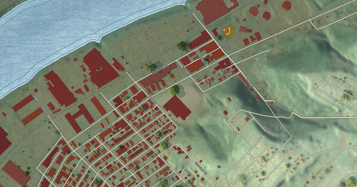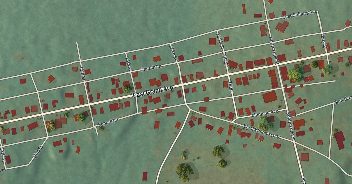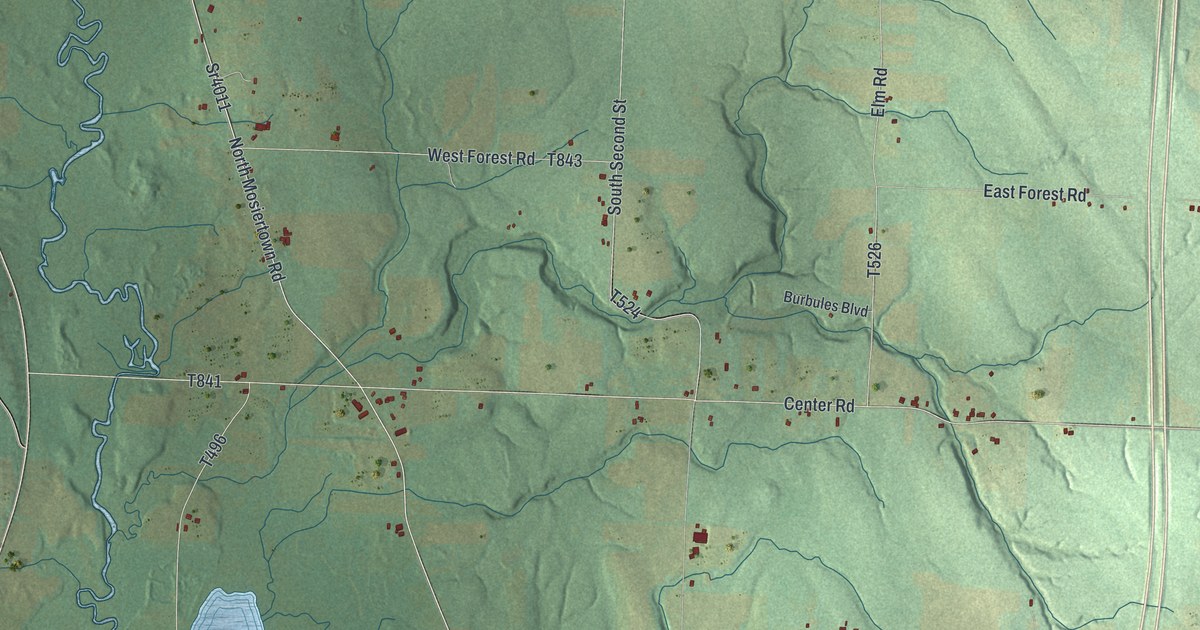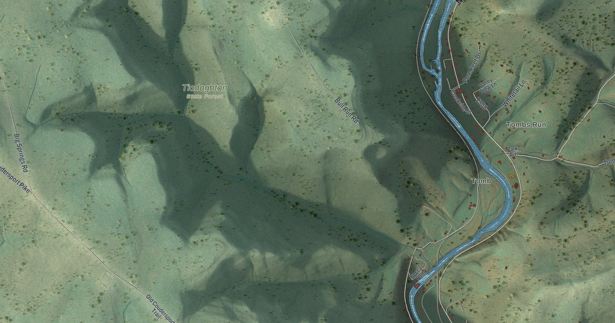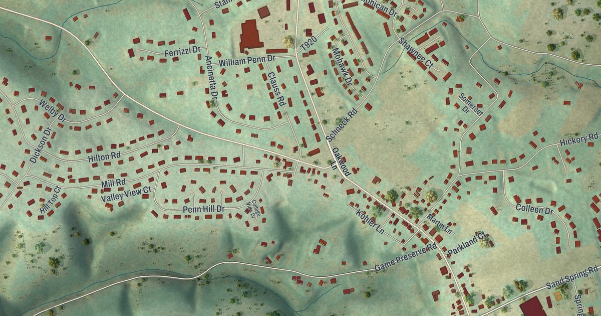
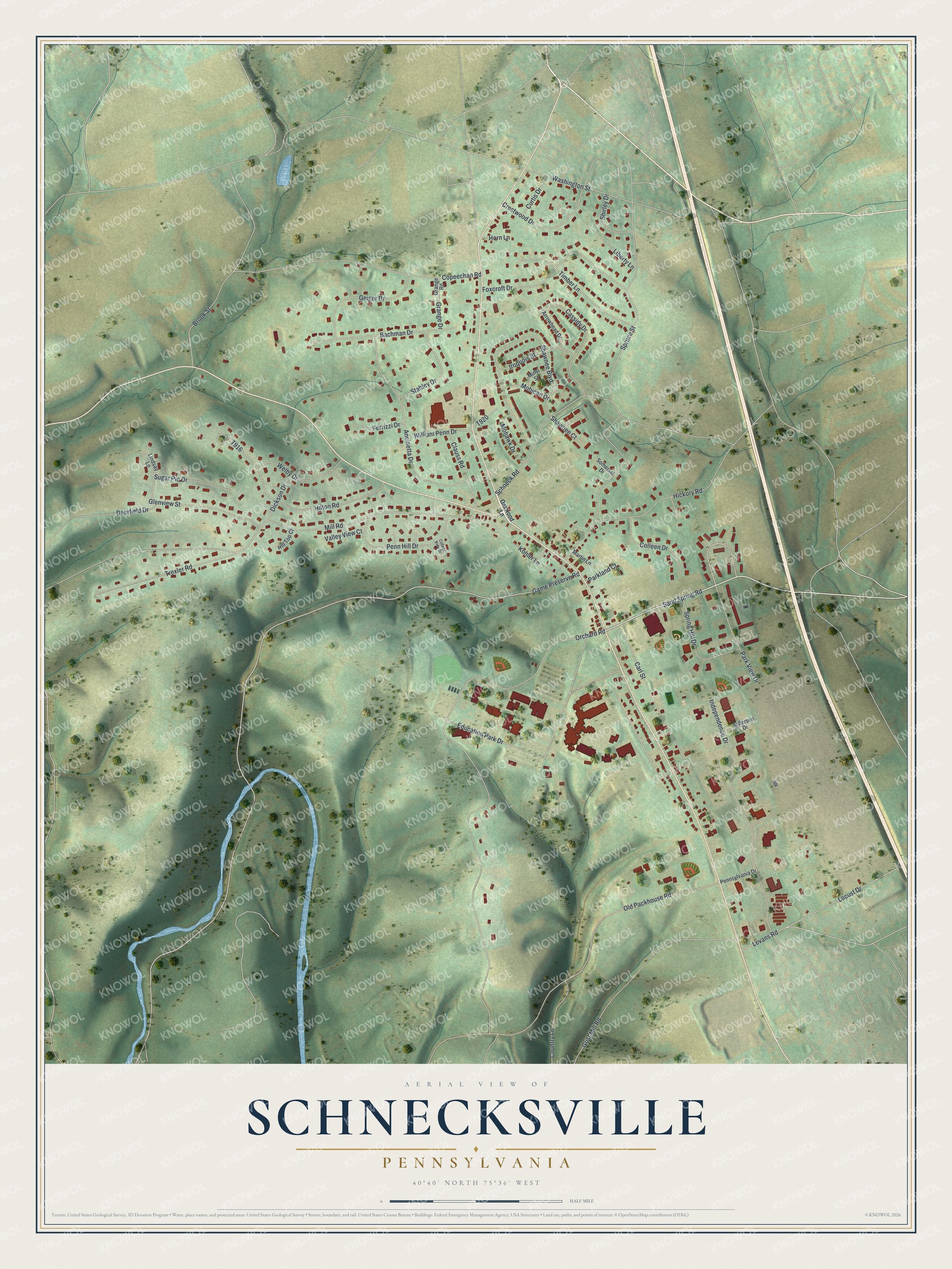
This beautifully detailed map of Schnecksville, Pennsylvania was created in 2026 using aerial imagery combined with modern topographical, census, street and landmark data. It's a modern aerial view of Schnecksville in Lehigh County, Pennsylvania, that combines modern data with a vintage aesthetic. The roads feature printed names, and if you look closely you can find your exact house accurately shown in its correct location.
Explore an aerial view of Schnecksville, Pennsylvania
On this map you'll find Sand Spring Road, Orchard Road, Spruce Street, Mill Road, Old Packhouse Road, Schneck Road, Education Park Drive, Copeechan Road, Independence Drive, Shawnee Boulevard, Hilton Road, Grist Mill Road, and more. Each red shape is a building, so zoom in on the preview and look for yours.
Schnecksville has a story worth telling. Schnecksville was named for Daniel Schneck, whose father Adam came from Wurttemberg, Germany, and took up land there in 1766. Daniel came to own all the land where the village stands, and in 1840 he divided part of it into building lots and founded the village. That year Daniel and his son Moses built the first hotel, later known as the Gross Hotel, and all the early buildings. The post office opened in the hotel building on February 16, 1846. That's from the North Whitehall Township newsletter.
Schnecksville is a community in Lehigh County. The Census Bureau counted 3,261 people here in 2020. Schnecksville sits about 5 miles west of Egypt, 5 miles south of Slatedale and 5 miles southwest of Laurys Station. The map prints the town name in its title panel, with the coordinates below it.
Take a closer look at the Schnecksville map
Names on this map
These names are printed on this map.
Streets and roads: Sand Spring Road, Orchard Road, Spruce Street, Mill Road, Old Packhouse Road, Schneck Road, Education Park Drive, Copeechan Road, Independence Drive, Shawnee Boulevard, Hilton Road, Grist Mill Road.
More street names, A to Z
Ancinetta Drive, Arrowhead Drive, Bachman Drive, Brook Street, Carl Street, Cassidy Drive, Clauss Road, Colleen Drive, College View Drive, Country Lane, Crestwood Drive, Curtis Drive, Deerfield Drive, Dickson Drive, Ferrizzi Drive, Foxcroft Drive, Game Preserve Road, Geiger Drive, Glenview Street, Grange Drive, Grange Road, Hickory Road, Hill Top Court, Horn Lane, Iroquois Street, Jefferson Drive, Kohler Lane, Levans Road, Liberty Lane, Lindsay Lane, Locust Drive, Martin Lane, Minsi Street, Mohawk Drive, Mohican Drive, Oakwood Lane, Parkland Court, Park View Drive, Penn Hill Drive, Pennsylvania Drive, Shawnee Court, Shirley Drive, Somerset Drive, Spring Hill Drive, Stahley Drive, Sugar Pie Drive, Timber Lane, Trexler Road, Valley View Court, Washington Street, Welby Drive, William Penn Drive.
See it on a wall
The Schnecksville map as a framed print. Swipe for more.


Created by KNOWOL in 2026. The buildings are small red shapes, the roads carry their printed names, and shaded relief shows the shape of the land. The title panel reads "AERIAL VIEW OF SCHNECKSVILLE, PENNSYLVANIA" with 40°40' NORTH 75°36' WEST.
It looks right in a kitchen, an office or a den, and it's a gift for anyone who grew up in Schnecksville or moved away. Open the preview and find your street. See sizes and frames for the Schnecksville map.