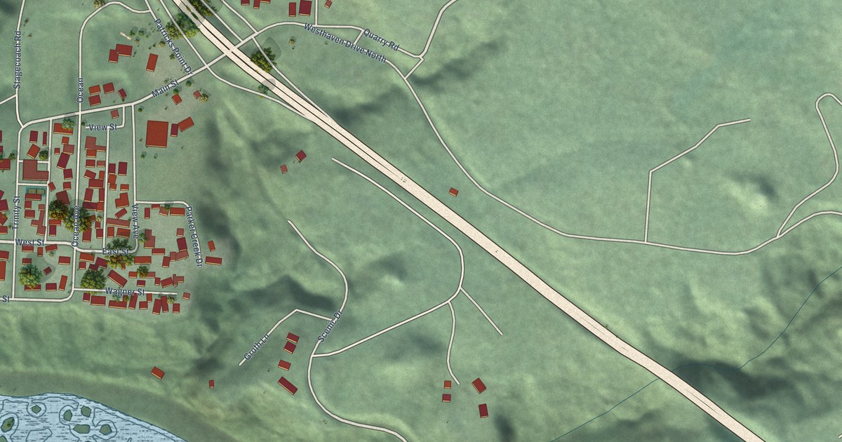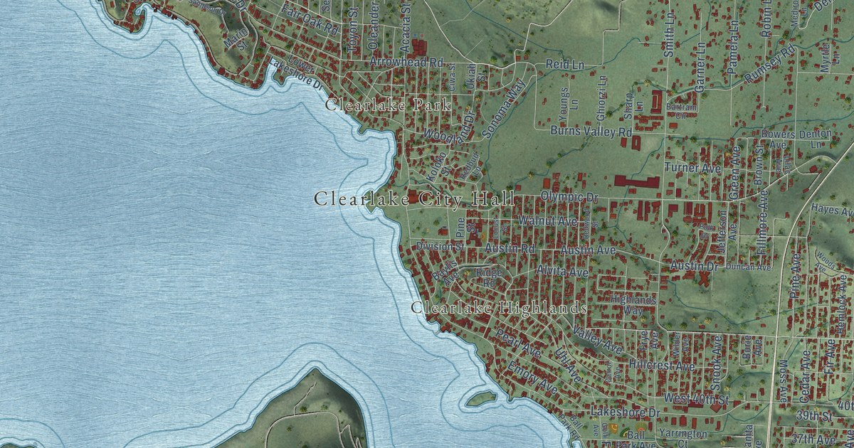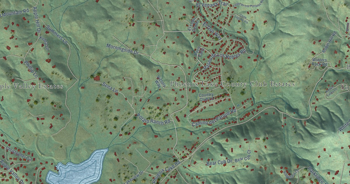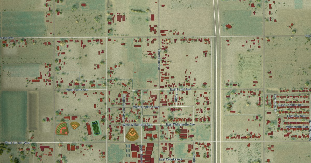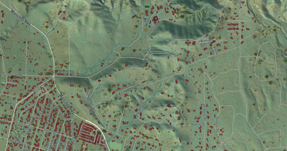
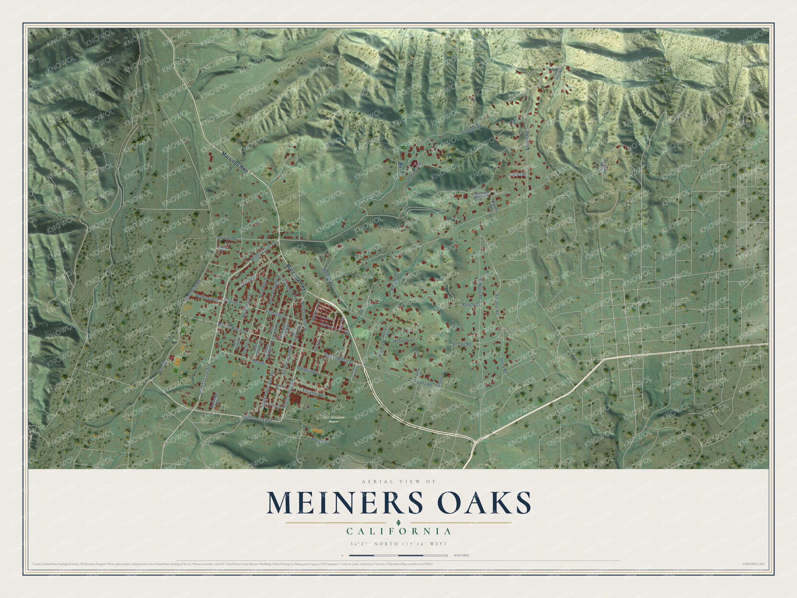
This beautifully detailed map of Meiners Oaks, California was created in 2026 using aerial imagery combined with modern topographical, census, street and landmark data. It's a modern aerial view of Meiners Oaks in Ventura County, California, that combines modern data with a vintage aesthetic. The roads feature printed names, and if you look closely you can find your exact house accurately shown in its correct location.
Explore an aerial view of Meiners Oaks, California
On this map you'll find Ojai Meadows Preserve, Arbolada, Maricopa Highway, West El Roblar Drive, Palomar Road, East El Roblar Drive, Rice Road, Meiners Road, North Rice Road, South Lomita Avenue, North La Luna Avenue, Fairview Road, and more. Each red shape is a building, so zoom in on the preview and look for yours.
Meiners Oaks has a story worth telling. The Ojai Valley News puts it this way: "Meiners Oaks, a community where nearly every home is under a Live Oak tree, takes its name from John Meiners, who owned the large area for many years." John Meiners, a German-born Milwaukee brewer, acquired the ranch in the 1870s, sight unseen, to settle an unpaid debt. He found he owned what was perhaps the largest oak grove on level land in Southern California.
Meiners Oaks is a community in Ventura County. The Census Bureau counted 3,911 people here in 2020.
Take a closer look at the Meiners Oaks map
Names on this map
These names are printed on this map.
Places: Ojai Meadows Preserve and Arbolada.
Streets and roads: Maricopa Highway, West El Roblar Drive, Palomar Road, East El Roblar Drive, Rice Road, Meiners Road, North Rice Road, South Lomita Avenue, North La Luna Avenue, Fairview Road, West Lomita Avenue, Foothill Road.
More street names, A to Z
Ash Lane, Besant Road, Bonita Drive, Camp Ramah Road, Carrizo Street, Cuyama Road, Del Norte Road, Devereaux Street, Dominion Road, Earl Street, El Camino Drive, El Conejo Drive, El Plano Drive, El Rio Drive, El Toro Road, Fairview Court, Farnham Road, Felix Drive, Fernando Drive, Fernando Street, Larry Street, Layton Street, Mesa Drive, Montana Circle, Montana Road, Montona Circle, Mulberry Lane, North Alvarado Street, North Arnaz Street, North Encinal Avenue, North Lomita Avenue, North Padre Juan Avenue, North Poli Street, North Pueblo Avenue, North Signal Street, Rancho Court, Rancho Drive, Running Ridge Road, Saint Thomas Drive, Sierra Road, South Alvarado Street, South Arnaz Street, South Encinal Avenue, South La Luna Avenue, South Padre Juan Avenue, South Poli Street, South Pueblo Avenue, Stockbridge Lane, Sycamore Lane, Verano Drive, Walbridge Way.
See it on a wall
The Meiners Oaks map as a framed print. Swipe for more.


Created by KNOWOL in 2026. The buildings are small red shapes, the roads carry their printed names, and shaded relief shows the shape of the land. The title panel reads "AERIAL VIEW OF MEINERS OAKS, CALIFORNIA" with 34°27' NORTH 119°16' WEST.
It looks right in a kitchen, an office or a den, and it's a gift for anyone who grew up in Meiners Oaks or moved away. Open the preview and find your street. See sizes and frames for the Meiners Oaks map.