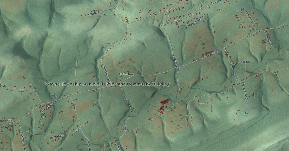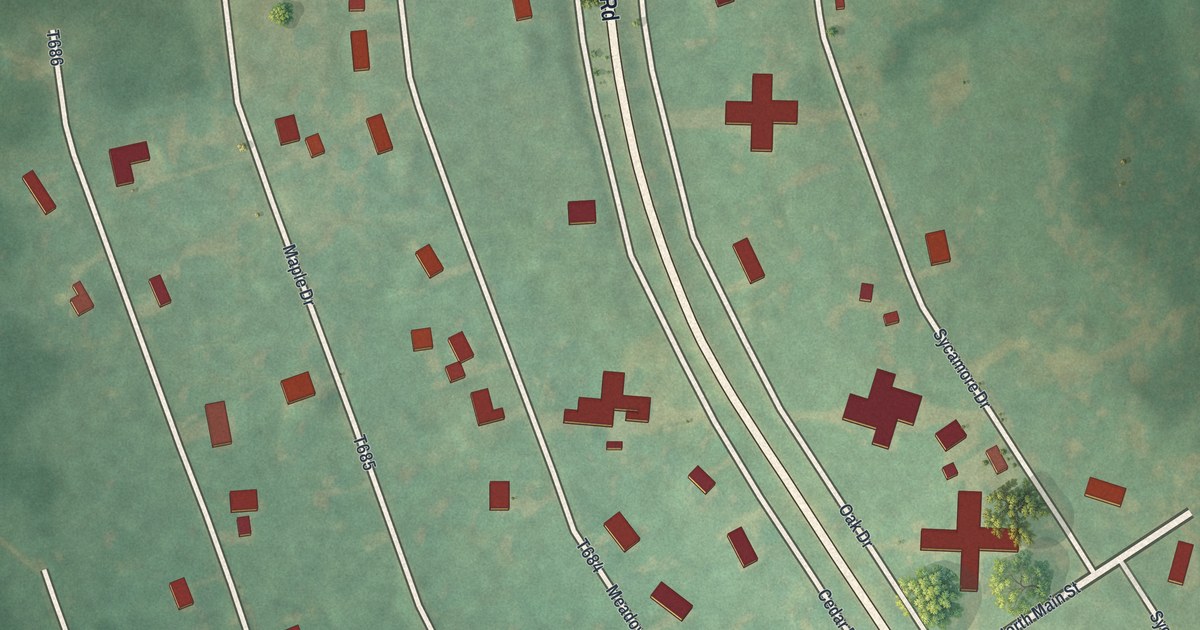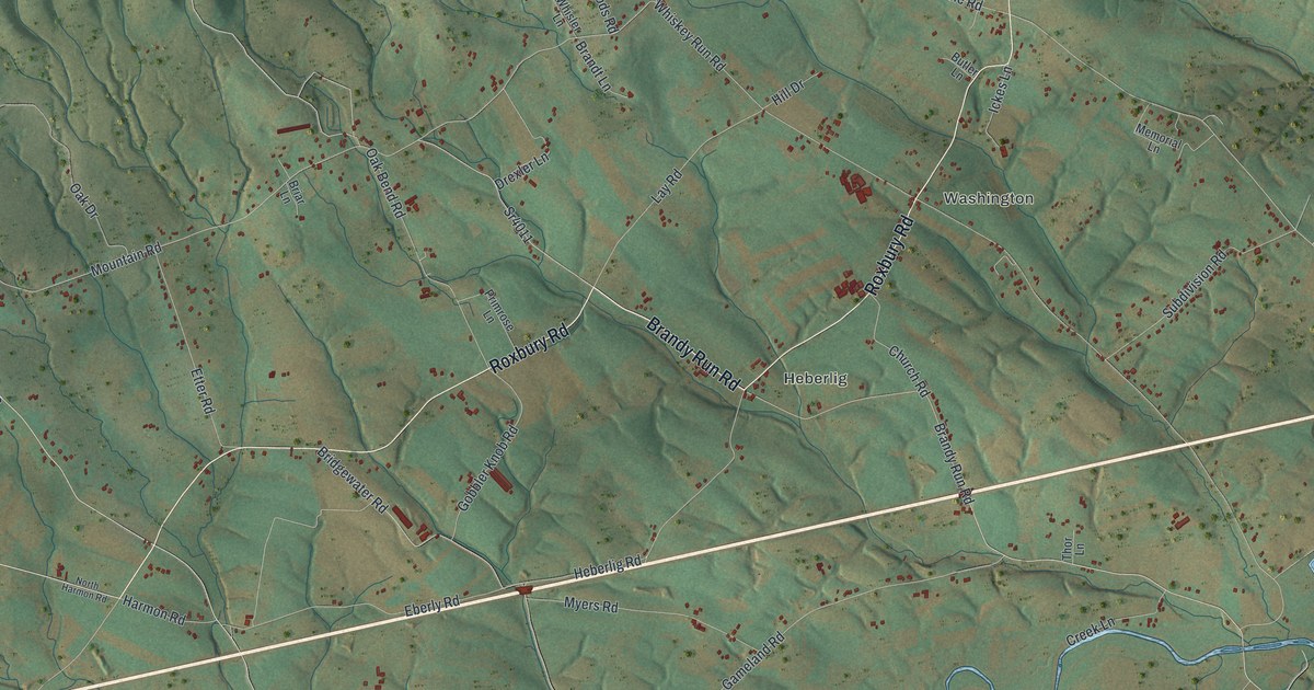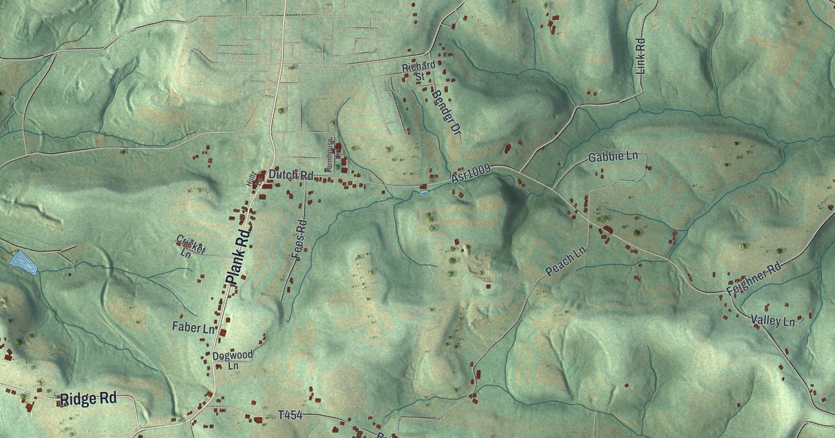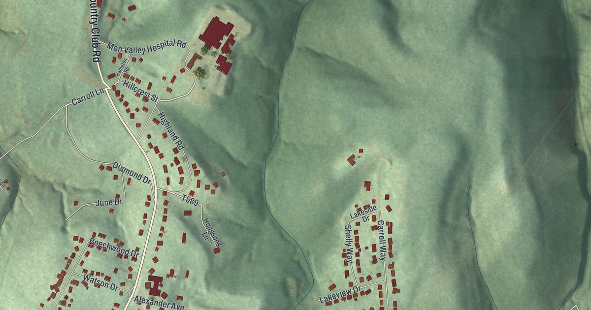
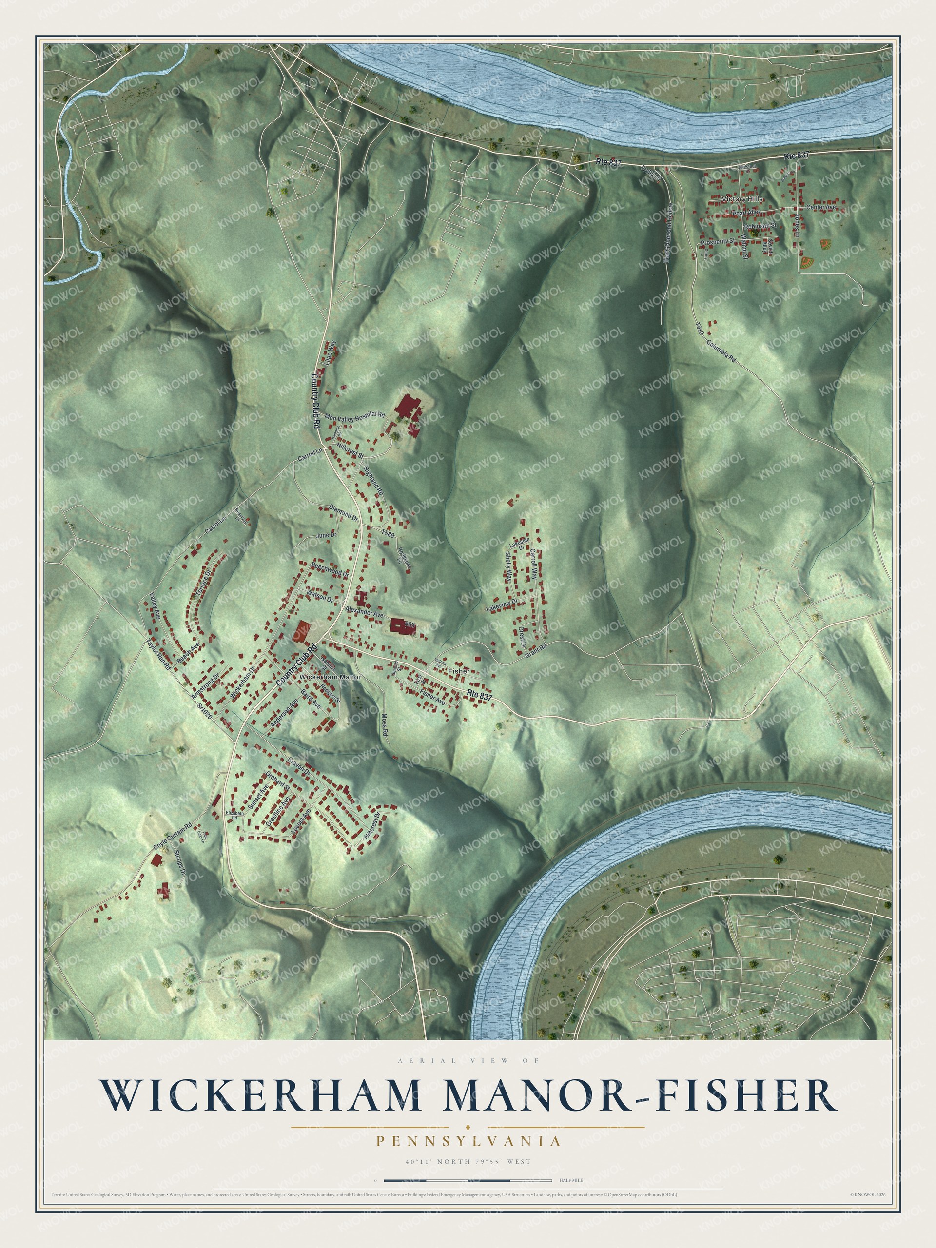
This beautifully detailed map of Wickerham Manor-Fisher, Pennsylvania was created in 2026 using aerial imagery combined with modern topographical, census, street and landmark data. It's a modern aerial view of Wickerham Manor-Fisher in Washington County, Pennsylvania, that combines modern data with a vintage aesthetic. The roads feature printed names, and if you look closely you can find your exact house accurately shown in its correct location.
Explore an aerial view of Wickerham Manor-Fisher, Pennsylvania
On this map you'll find Fisher, Victory Hills, Wickerham Manor, Country Club Road, Carroll Lane, Hillcrest Street, Diamond Drive, Grant Road, Carrol Lane, Columbia Road, Coyle Curtain Road, Wickerham Drive, and more. Each red shape is a building, so zoom in on the preview and look for yours.
Wickerham Manor-Fisher is a community in Washington County. The Census Bureau counted 1,825 people here in 2020. Wickerham Manor-Fisher sits about 2 miles north of North Charleroi, 2 miles northwest of Monessen and 2 miles west of Donora. The map prints the town name in its title panel, with the coordinates below it.
Take a closer look at the Wickerham Manor-Fisher map
Names on this map
These names are printed on this map.
Places: Fisher, Victory Hills and Wickerham Manor.
Streets and roads: Country Club Road, Route 837, Carroll Lane, Hillcrest Street, Diamond Drive, Grant Road, Carrol Lane, Columbia Road, Coyle Curtain Road, Wickerham Drive, Craven Drive, Black Diamond Hollow.
More street names, A to Z
Alexander Avenue, Anderson Avenue, Armstrong Drive, Baird Avenue, Beach Avenue, Beechwood Drive, Carroll Way, Center Avenue, Cherry Lane, Chestnut Street, Crest Drive, Crestline Avenue, Elizabeth Road, First Street, Fisher Avenue, Four Oaks Lane, Hampton Road, Highland Road, Hillcrest Drive, Hodgsons Lane, Isabella Street, Jones Lane, June Drive, Lakeside Drive, Lakeview Drive, Lilac Way, Locust Avenue, Mon Valley Hospital Road, Moss Road, Orchard Street, Pearl Alley, Prosperity Street, Reservoir Lane, Roberts Lane, Robinson Street, Rodgers Street, Second Street, Sevich Alley, Shelly Way, Sr1020, Stoops Drive, Sunset Avenue, Taylor Run Road, Terrace Drive, Trolly Lane, Valley Avenue, Victoria Avenue, Walnut Street, Watson Drive.
See it on a wall
The Wickerham Manor-Fisher map as a framed print. Swipe for more.


Created by KNOWOL in 2026. The buildings are small red shapes, the roads carry their printed names, and shaded relief shows the shape of the land. The title panel reads "AERIAL VIEW OF WICKERHAM MANOR-FISHER, PENNSYLVANIA" with 40°11' NORTH 79°55' WEST.
Hang it in the hallway, the office or the cabin, or give it to someone who left Wickerham Manor-Fisher and still calls it home. Open the preview and look for a street you know. See sizes and frames for the Wickerham Manor-Fisher map.