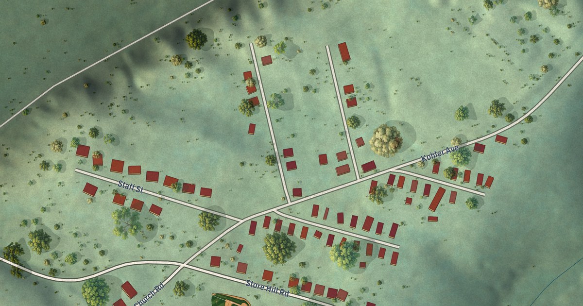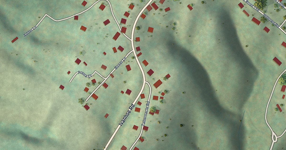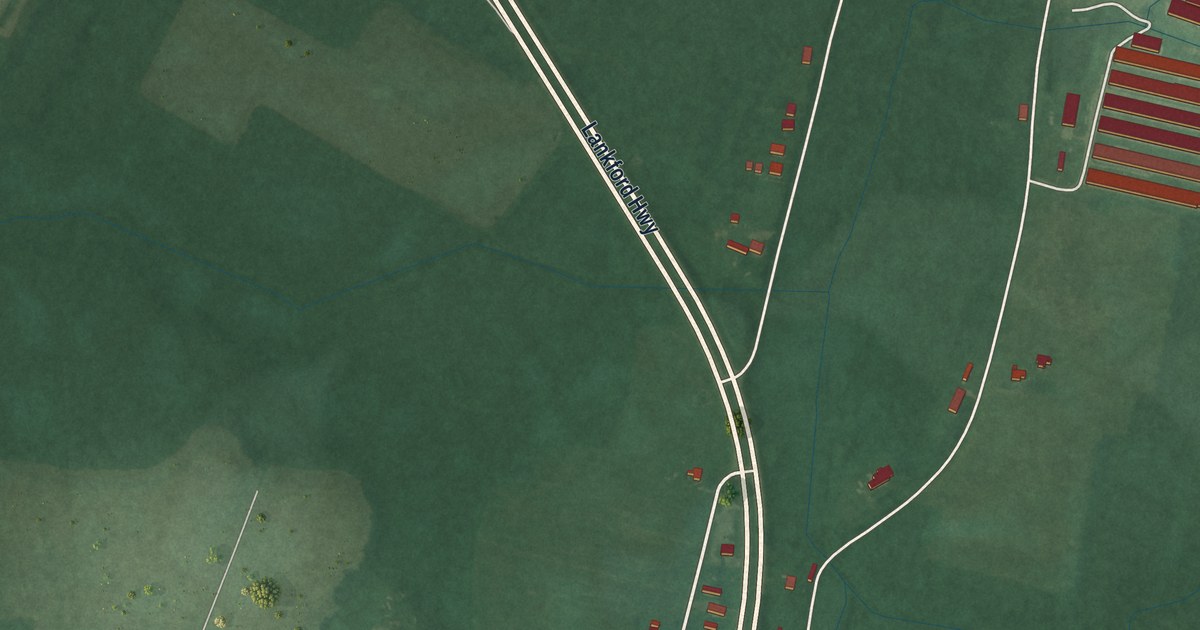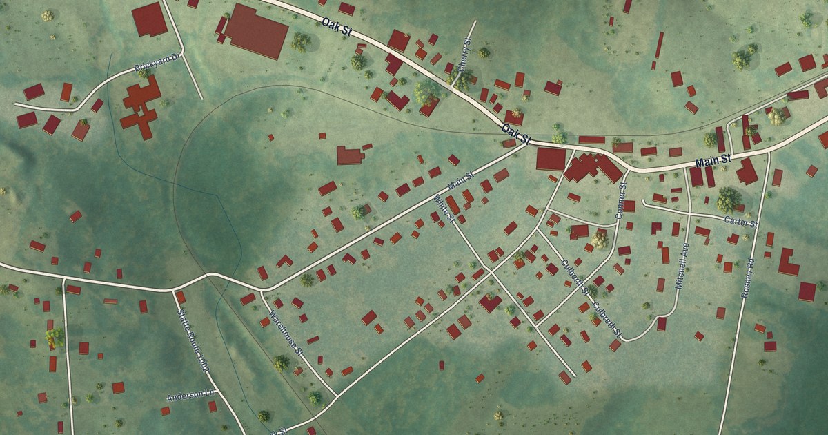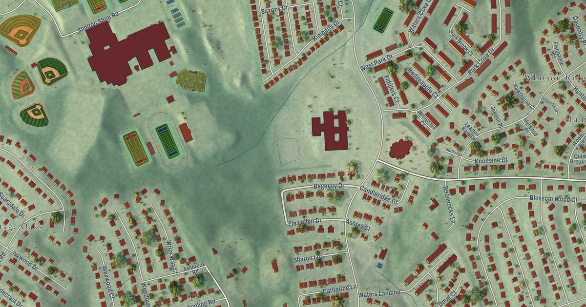
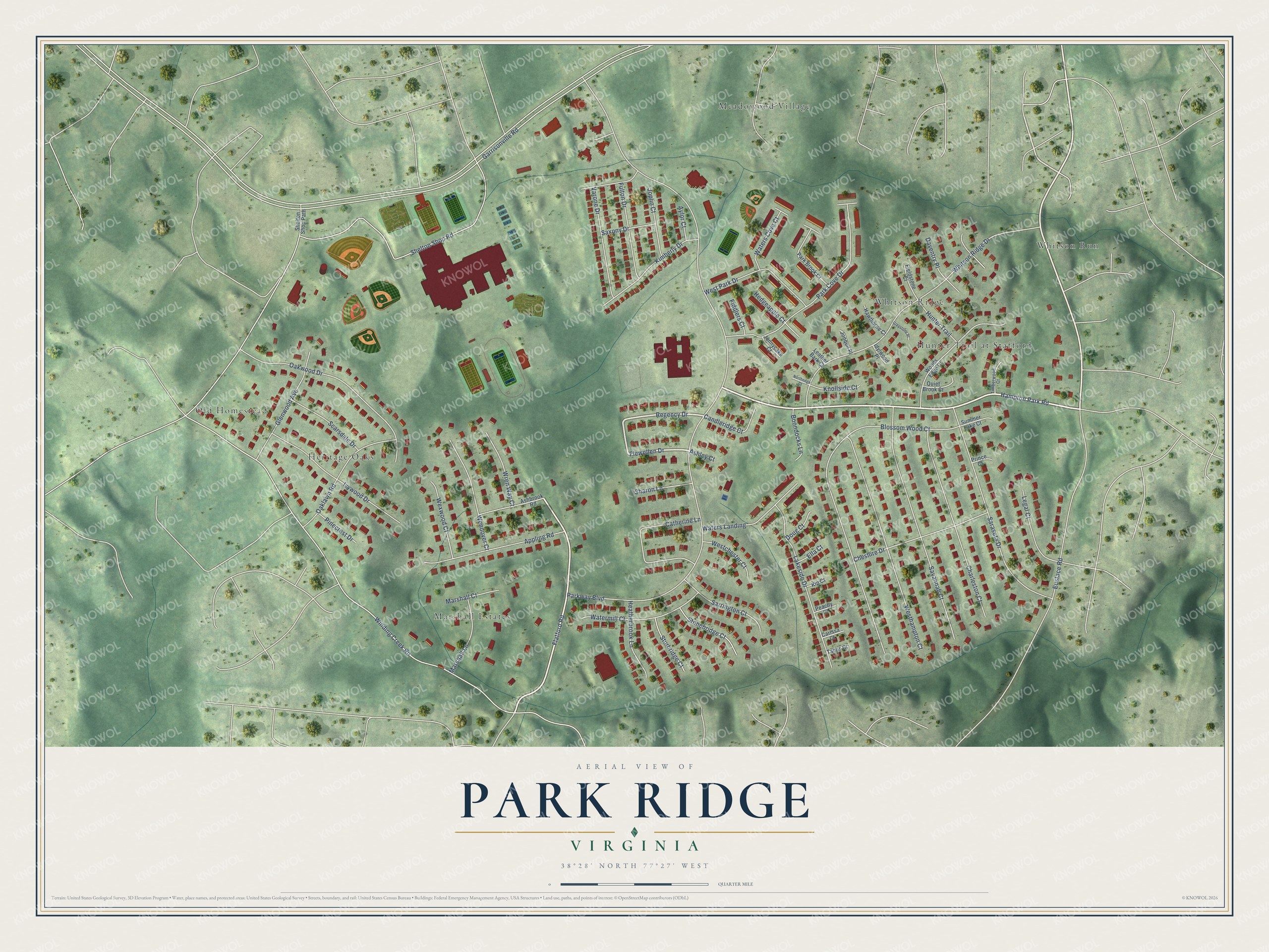
This beautifully detailed map of Park Ridge, Virginia was created in 2026 using aerial imagery combined with modern topographical, census, street and landmark data. It's a modern aerial view of Park Ridge in Stafford County, Virginia, that combines modern data with a vintage aesthetic. The roads feature printed names, and if you look closely you can find your exact house accurately shown in its correct location.
Explore an aerial view of Park Ridge, Virginia
On this map you'll find Whitson Ridge, Marshall Estates, Old Homestead, Whitson Run, Meadowood Village, Heritage Oaks, Hunter Trail at Stafford, Hampton Park Road, Regency Drive, Flewellen Drive, Flatford Road, Parkway Boulevard, and more. Each red shape is a building, so zoom in on the preview and look for yours.
Park Ridge is a community in Stafford County. Park Ridge sits about 2 miles east of Vista Woods, 2 miles northwest of Embrey Mill and 2 miles west of Hampton Oaks. The map prints the town name in its title panel, with the coordinates below it.
Take a closer look at the Park Ridge map
Names on this map
These names are printed on this map.
Places: Whitson Ridge, Marshall Estates, Old Homestead, Whitson Run, Meadowood Village, Heritage Oaks and Hunter Trail at Stafford.
Streets and roads: Hampton Park Road, Regency Drive, Flewellen Drive, Flatford Road, Parkway Boulevard, Shelton Shop Road, Winding Creek Road, Eustace Road, Blossom Wood Court, Garrisonville Road, Whitson Ridge Drive, Savannah Court.
More street names, A to Z
Appling Road, Ashbrook Road, Ashley Court, Aylor Court, Boondocks Lane, Candleridge Court, Carissa Court, Catherine Lane, Charleston Court, Cheshire Drive, Daventry Place, Doug Court, Ella Court, Fiddlers Court, Fieldstone Court, Fulton Drive, Glenwood Avenue, Greystone Place, Hawthorne Court, Heatherbrook Lane, Hedgeapple Court, Hunter Trail, Idylwood Place, Ivywood Drive, Jonnycake Court, Jonquil Place, Joplin Court, Kimberly Drive, Kip Court, Knollside Court, Lakeside Drive, Leather Bark Court, Legal Court, Marshall Court, Marshall Lane, Northedge Court, Oaklawn Road, Oakwood Drive, Park Brook Court, Park Cove Drive, Peachy Court, Pinecrest Drive, Prince Court, Quiet Brook Court, Sarasota Drive, Sarrington Court, Saxony Drive, Scarsdale Drive, Sharon Lane, Shelton Shop Path, Stonebridge Court, Sturbridge Court, Summer Lake Court, Tamis Court, Timberwood Court, Varone Drive, Watermill Court, Waters Cove Court, Waters Landing, Wendover Court, Westchester Court, Westhampton Court, West Park Drive, Wexwood Court, Woods Edge Court, Wren Way Court.
See it on a wall
The Park Ridge map as a framed print. Swipe for more.


Created by KNOWOL in 2026. The buildings are small red shapes, the roads carry their printed names, and shaded relief shows the shape of the land. The title panel reads "AERIAL VIEW OF PARK RIDGE, VIRGINIA" with 38°28' NORTH 77°27' WEST.
Hang it in the hallway, the office or the cabin, or give it to someone who left Park Ridge and still calls it home. Open the preview and look for a street you know. See sizes and frames for the Park Ridge map.