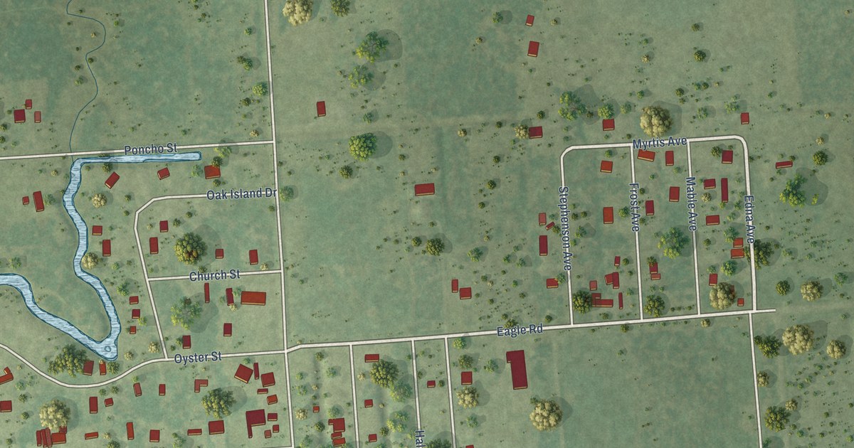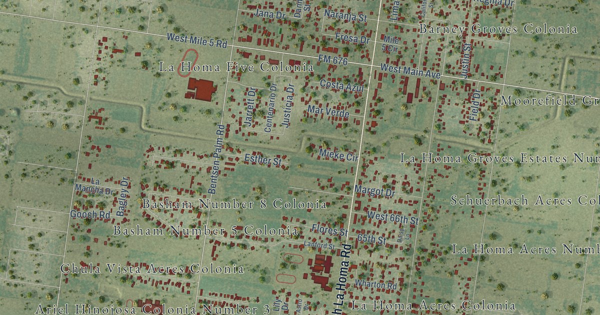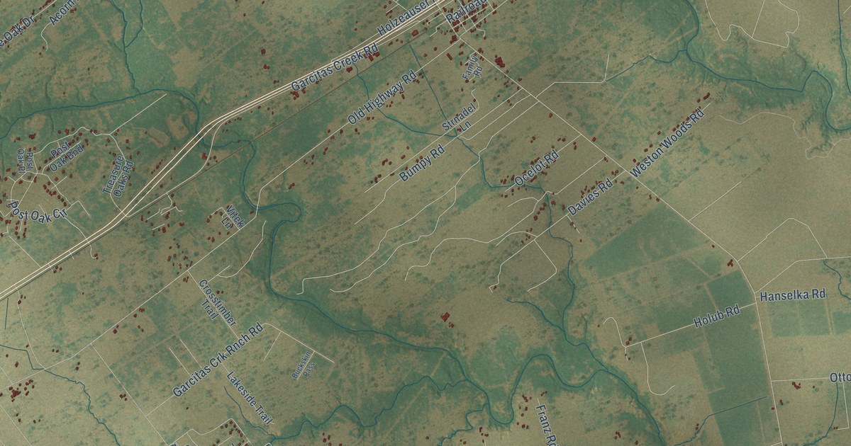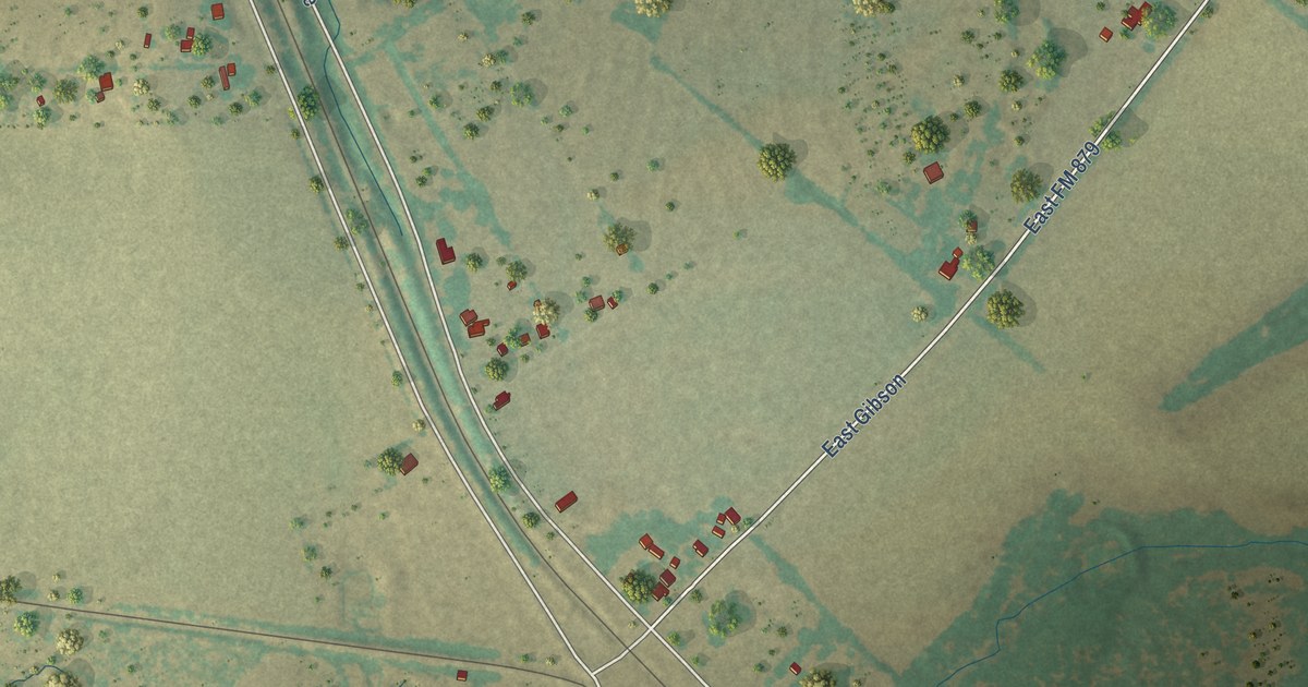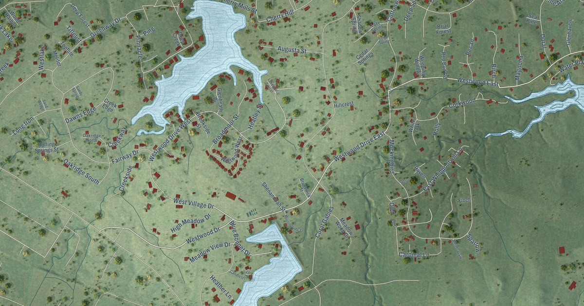
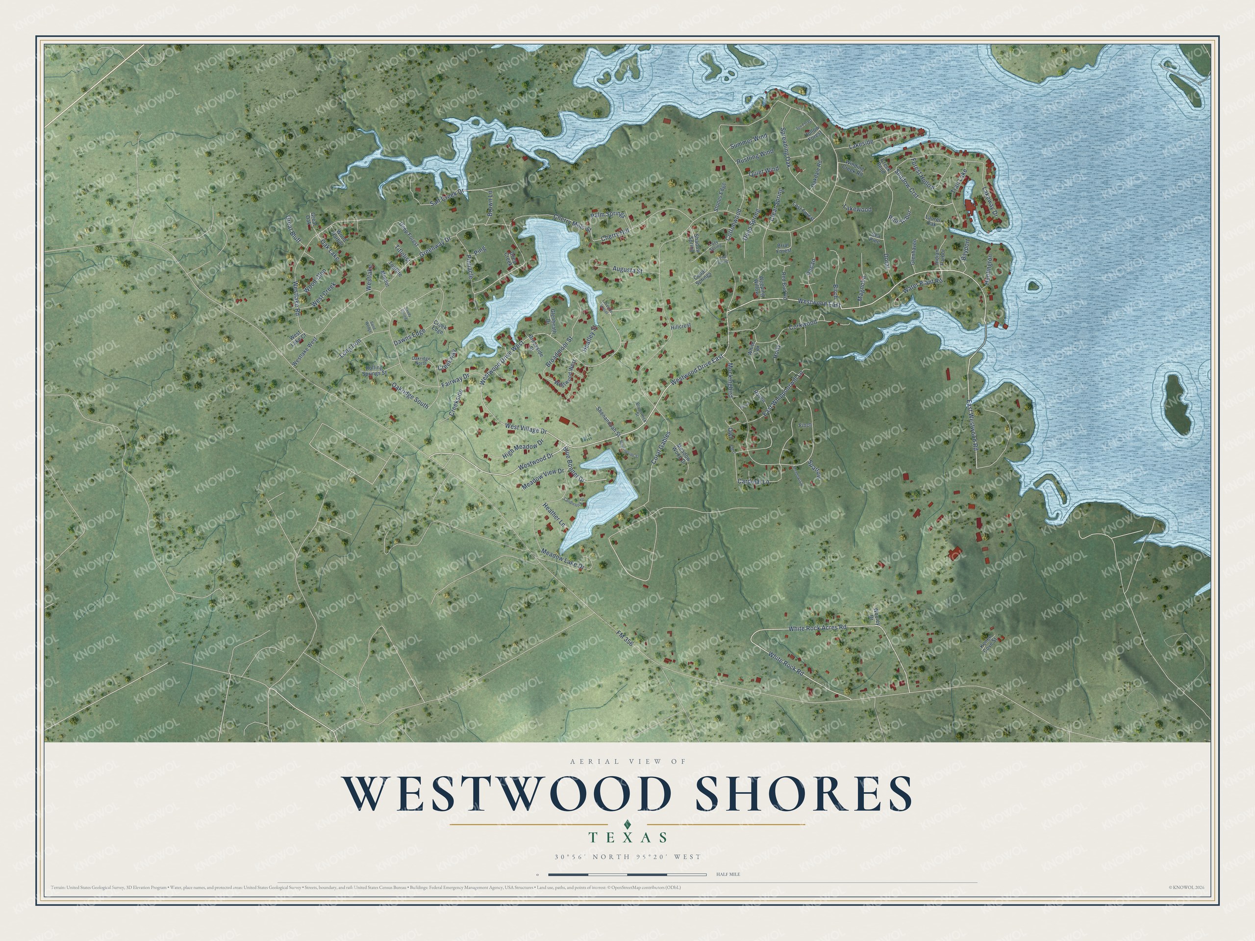
Westwood Shores is a community of 1,239 in Trinity County, Texas. This beautifully detailed map of Westwood Shores, Texas was created in 2026 using aerial imagery combined with modern topographical, census, street and landmark data. It's a modern aerial view of Westwood Shores in Trinity County, Texas, that combines modern data with a vintage aesthetic. The roads feature printed names, and if you look closely you can find your exact house accurately shown in its correct location.
Explore an aerial view of Westwood Shores, Texas
On this map you'll find Westwood East, East Westwood Road, Brown Lane, White Rock Acres Road, Blue Bonnet Drive, FM 356, Coral Gables, West Village Drive, White Rock Road, Cottonwood, Greenway Drive, Westlake Road, and more. Each red shape is a building, so zoom in on the preview and look for yours.
Westwood Shores is a community in Trinity County. The Census Bureau counted 1,239 people here in 2020. Westwood Shores sits about 3 miles east of Trinity, 7 miles northeast of Riverside and 14 miles north of Oakhurst. The map prints the town name in its title panel, with the coordinates below it.
Take a closer look at the Westwood Shores map
Names on this map
These names are printed on this map.
Places: Trail Lake and Oak Lake.
Streets and roads: Westwood East, East Westwood Road, Brown Lane, White Rock Acres Road, Blue Bonnet Drive, FM 356, Coral Gables, Westwood Drive East, Westwood Drive West, West Village Drive, White Rock Road, Cottonwood.
More street names, A to Z
Augusta Street, Bayport, Birch, Briar Forest, Broadmoor Street, Brookside Street, Brunswick Street, Candlestick Drive, Cardinal Lane, Cedar Spring, Cedar Springs, Cherry Hill, Cherry Mills Street, Clear Spring, Corkwood, Creek Bend, Creek Edge, Creekside, Creekway, Dawns Edge, Deep Creek, Deep Forest, Deep Spring, Doral, East Whippoorwill Lane, Egret, Fairway Drive, Finch, Forest Hollow, Glenhaven, Glenheath Drive, Great Bluff, Great Oak, Greenway Drive, Heather Lane, Heatley Street, Heron, High Meadow Drive, Hillcrest, Hollow Forest, Holly, Huntington, Indian Harbor, Konen Cove Street, Lakeside, Lakeside Sunset, Lakeway Drive, Lakewood, Laurel Oak, Lazy Spring, Long Iron, Lost Forest, Magnolia, Meadow Lake Drive, Meadowlark, Meadow View Drive, Meadow Wood Drive, Mockingbird, Molitor, Morningside Street, Oakdale Road, Oakridge North, Oakridge South, Owl, Palm Springs, Pecan, Pine Arbor, Ping, Pinnacle, Quiet Wind, Raven, Red Bud Road, Rolling Springs Street, Rustling Wind, Salt Creek Drive, Sand Wedge, Sandy Spring, Sea Pine, Shadow Crst, Shadow Spring, Shenandoah Street, Sparrow, Spreading Oak, Stones Edge, Summer Wind, Sun Forest, Titlelist, Topflite, Water Plant Road, Weeping Willow, West Creek, Westlake, West Lake Court, Westlake Road, Westlake West, Westwood Drive, Westwood West, White Oak, Winding Creek Road, Wood Glen, Wood Harbor, Wooley Drive.
See it on a wall
The Westwood Shores map as a framed print. Swipe for more.


Created by KNOWOL in 2026. The buildings are small red shapes, the roads carry their printed names, and shaded relief shows the shape of the land. The title panel reads "AERIAL VIEW OF WESTWOOD SHORES, TEXAS" with 30°56' NORTH 95°20' WEST.
It looks right in a kitchen, an office or a den, and it's a gift for anyone who grew up in Westwood Shores or moved away. Open the preview and find your street. See sizes and frames for the Westwood Shores map.