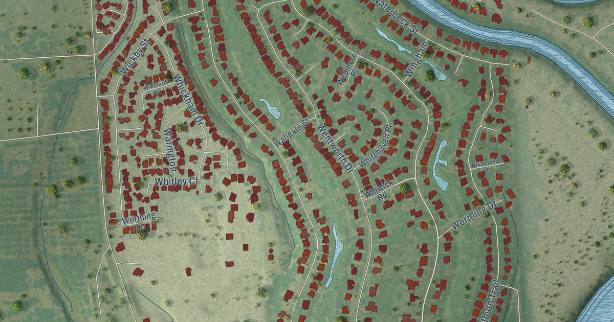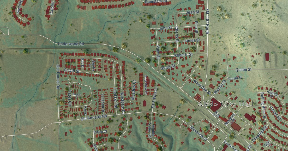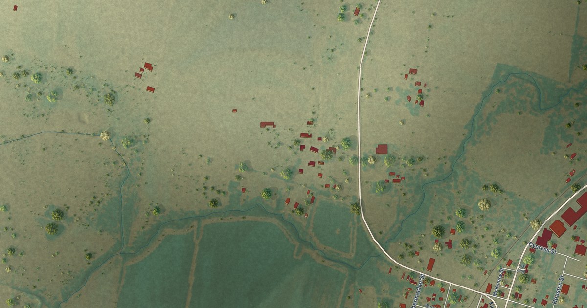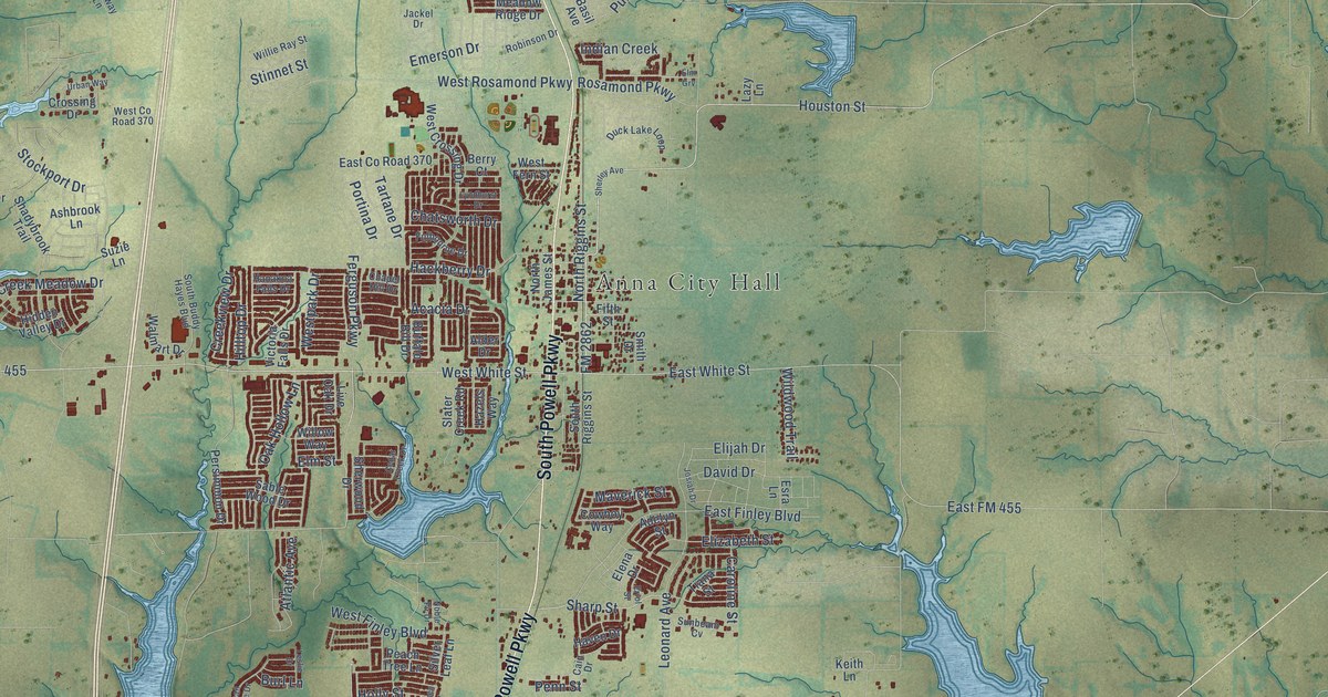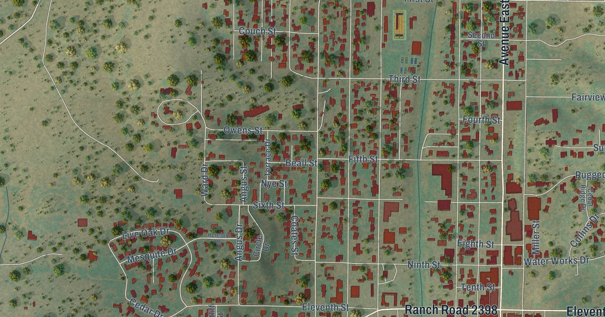
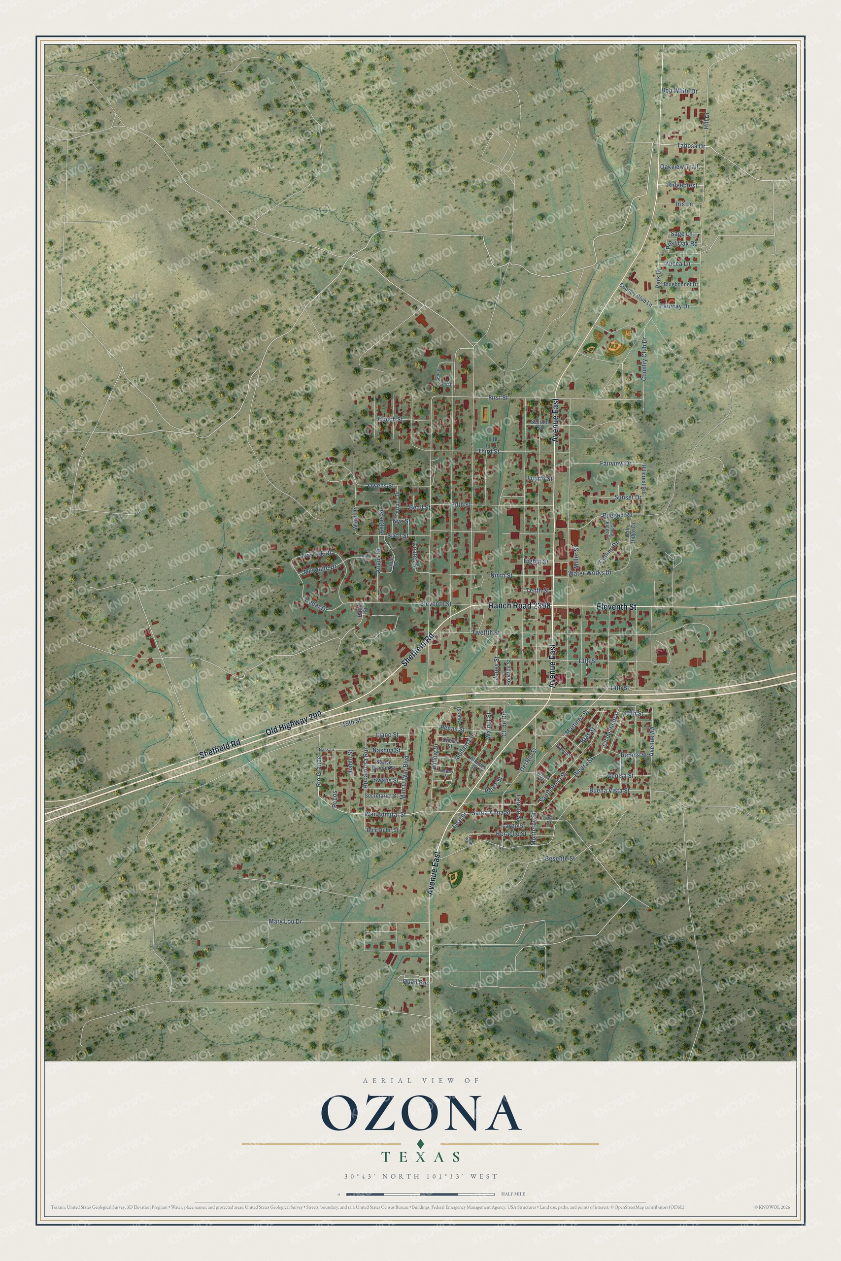
This beautifully detailed map of Ozona, Texas was created in 2026 using aerial imagery combined with modern topographical, census, street and landmark data. It's a modern aerial view of Ozona in Crockett County, Texas, that combines modern data with a vintage aesthetic. The roads feature printed names, and if you look closely you can find your exact house accurately shown in its correct location.
Explore an aerial view of Ozona, Texas
On this map you'll find Avenue East, Old Highway 290, Sheffield Road, Eleventh Street, Ranch Road 2398, Tabosa Drive, War Admiral Street, Rio Grande, Country Club Drive, First Street, Fairway Drive, Santa Anna Street, and more. Each red shape is a building, so zoom in on the preview and look for yours.
Ozona is a community in Crockett County. The Census Bureau counted 2,663 people here in 2020. Ozona sits about 35 miles west of Sonora, 37 miles southeast of Big Lake and 37 miles east of Sheffield. The map prints the town name in its title panel, with the coordinates below it.
Take a closer look at the Ozona map
Names on this map
These names are printed on this map.
Streets and roads: Avenue East, Old Highway 290, Sheffield Road, Eleventh Street, Ranch Road 2398, Tabosa Drive, War Admiral Street, Rio Grande, Country Club Drive, First Street, Fairway Drive, Santa Anna Street.
More street names, A to Z
13th Street, 14th Street, 15th Street, 16th Street, Almond Street, Angus Drive, Angus Street, Appaloosa Run, Avenue AA, Beall Street, Besente Street, Blas Street, Bluebonnet Drive, Bob White Drive, Bold Ruler Street, Buena Vista Street, Cedar Drive, Cedar Ridge Drive, Cenisa Street, Cherry Street, Cima Avenue, Circle Drive, Cll de Piedra, Cll de Rio, Coates Street, Collins Drive, Corto Street, Couch Street, Country Club Lane, Del Rio Street, Diablo Street, Eighth Street, Fairview Drive, Fifth Street, Fourth Street, Gavino, Henderson Drive, Heraclio Street, Hereford Drive, Hickory Street, Hillcrest Road, Hill Drive, Houston Street, Iris Lane, Jones Street, Laredo Street, Largo Street, Leal Street, Live Oak Drive, Llano Street, Man O'War Boulevard, Martinez Street, Mary Lou Drive, Mesquite Drive, Miller Street, Monterey Street, Mulberry Drive, Nashua Street, Nassau, Native Dancer Street, Ninth Street, Nye Street, Oak Ridge Drive, Oakview Trail, Owens Street, Park Drive, Pecan Street, Pecos, Perez Street, Piedra Street, Pine Street, Post Oak Road, Quail Run, Ramos Street, Ratliff Street, Ridgecrest, Rugged Road, Sage Lane, Santa Rosa Street, Second Street, Secretariat Street, Sixth Street, Sunset Drive, Swaps Street, Tenth Street, Terrace Drive, Third Street, Tobar Street, Twelfth Street, Vetilla Street, Walnut Street, Ward Drive, Water Works Drive, Willow Drive, Yucca Lane.
See it on a wall
The Ozona map as a framed print. Swipe for more.


Created by KNOWOL in 2026. The buildings are small red shapes, the roads carry their printed names, and shaded relief shows the shape of the land. The title panel reads "AERIAL VIEW OF OZONA, TEXAS" with 30°43' NORTH 101°13' WEST.
Hang it in the hallway, the office or the cabin, or give it to someone who left Ozona and still calls it home. Open the preview and look for a street you know. See sizes and frames for the Ozona map.