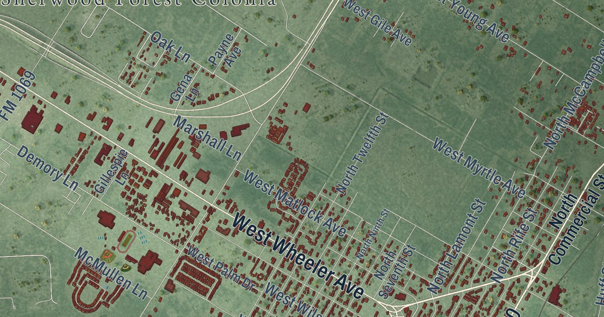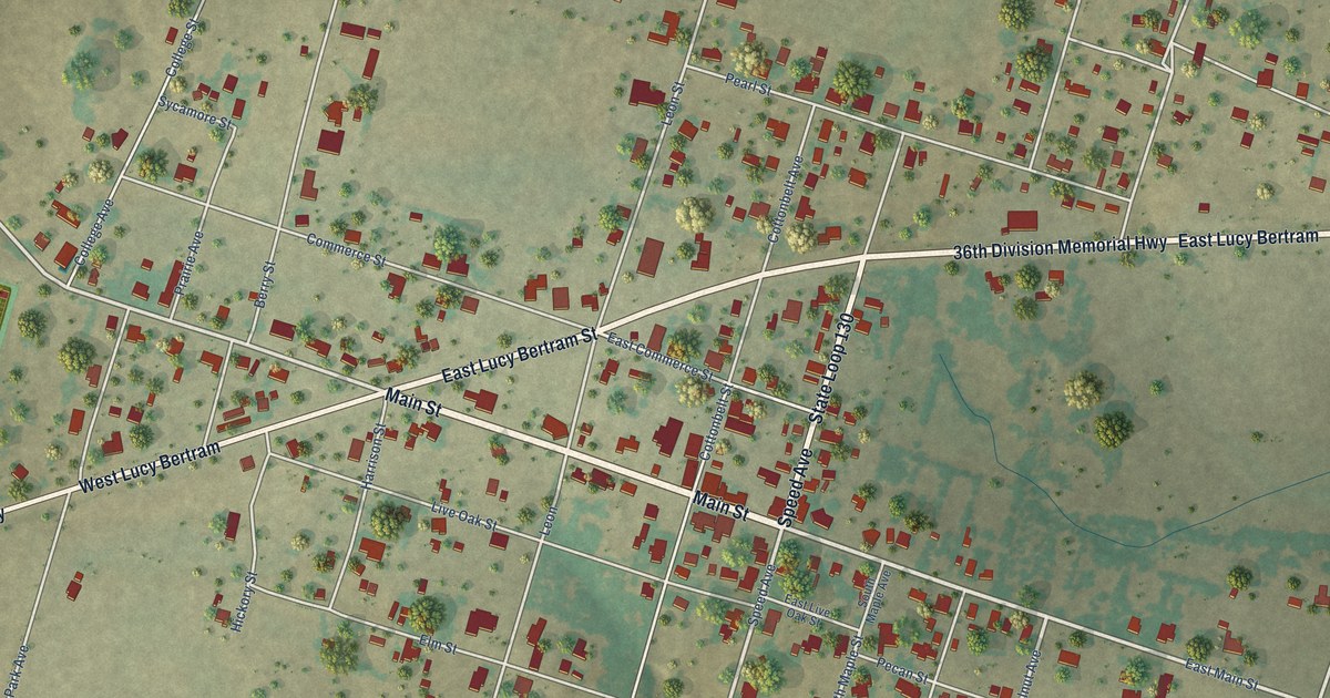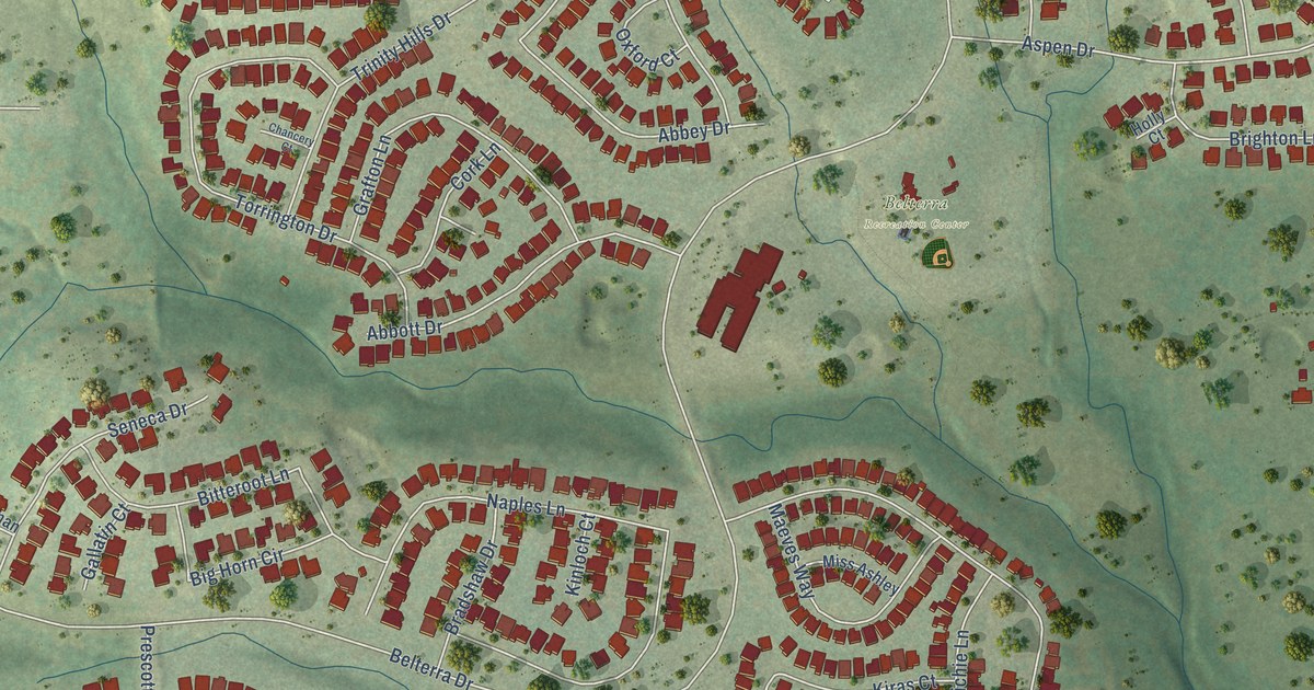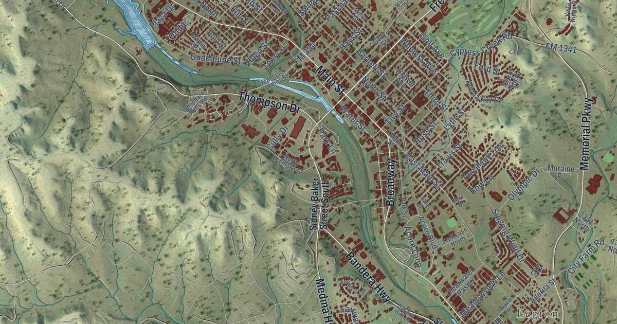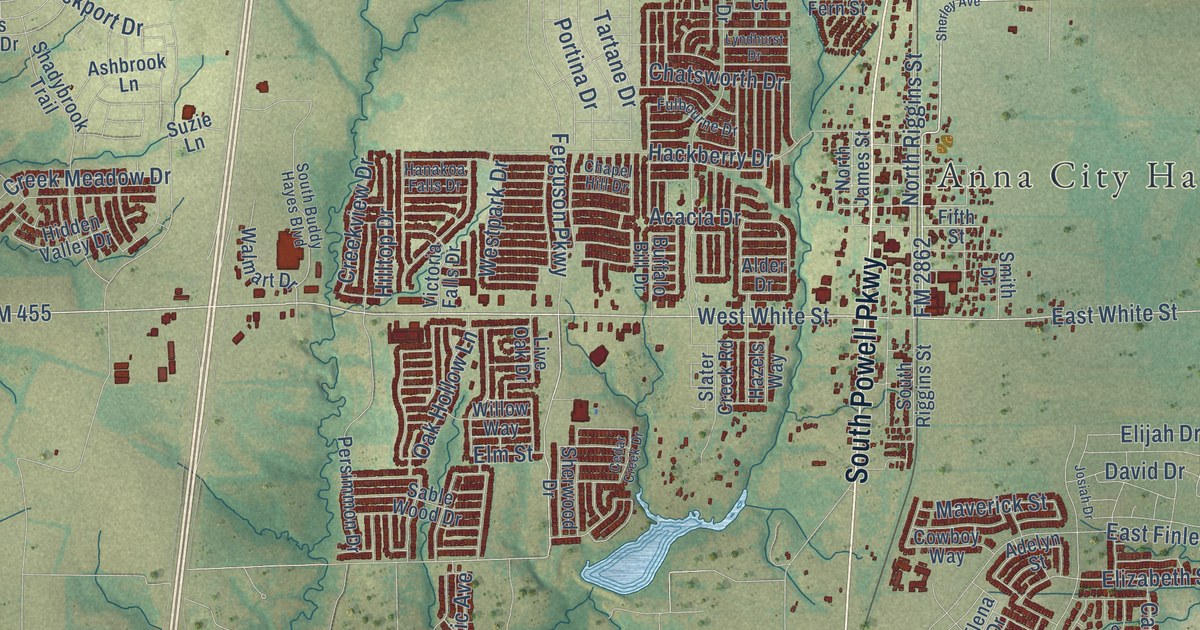
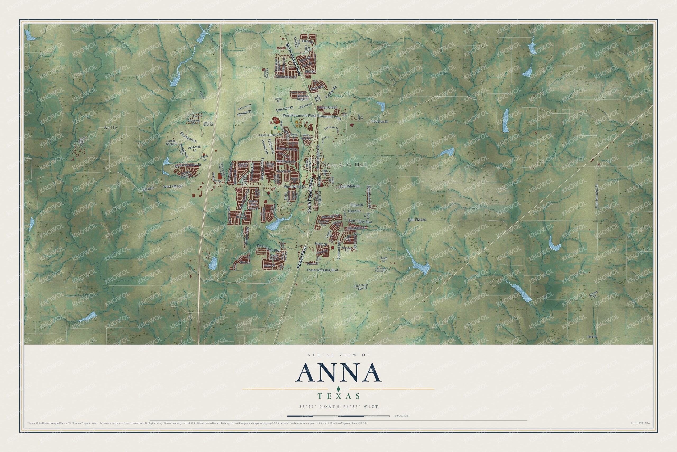
This beautifully detailed map of Anna, Texas was created in 2026 using aerial imagery combined with modern topographical, census, street and landmark data. It’s a one-of-a-kind view of Anna that combines accurate data with a vintage aesthetic. The map shows every building in its true location, many of the roads carry their names, and the shaded topographic relief shows the shape of the land.
Explore an aerial view of Anna, Texas
On the map you’ll find Anna City Hall, Kelly, East FM 455, and West FM 455, along with South Powell Parkway, Powell Parkway, North Powell Parkway, FM 2862, Foster Crossing Boulevard, Acacia Drive, Atlantic Avenue, FM 455, and more. If you look closely you can even find your house accurately drawn in its correct location. Zoom in on the preview to look for yours.
Did you know this piece of Anna, Texas history?
From the Handbook of Texas: "Anna's first bank, the Continental Bank, was organized in 1902, and the Collin County State Bank was organized in 1913 with R. C. Moore as president."
Take a closer look at the Anna map
Street and place names on the Anna, Texas map
These names are printed on the map of Anna, Texas.
Places: Anna City Hall and Kelly.
Streets and roads: South Powell Parkway, Powell Parkway, North Powell Parkway, FM 2862, East FM 455, West FM 455, Foster Crossing Boulevard, Acacia Drive, Atlantic Avenue, FM 455, East Houston Street, Houston Street.
More street names, A to Z
Adelyn Street, Alder Drive, Ashbrook Lane, Ashley Lane, Aspen Drive, Axton Avenue, Basil Avenue, Bent Creek Drive, Berry Court, Bryant Farms Road, Buffalo Bill Drive, Burl Lane, Cain Drive, Caroline Street, Cedar Creek Drive, Chapel Hill Drive, Charleston Drive, Chatsworth Drive, Cowboy Way, Creek Meadow Drive, Creekview Drive, Crossing Drive, Cross Shore Drive, Curt Street, Cyrus Street, David Drive, Duck Lake Loop, East County Road 370, East Finley Boulevard, East Fork Circle, East Foster Crossing Road, East Outer Loop Road, East White Street, Elam Drive, Elena Drive, Elijah Drive, Elizabeth Street, Elm Grv, Elm Street, Emerson Drive, Errol Street, Esra Lane, Fairway Lane, Ferguson Parkway, Fifth Street, FM 545, Fulbourne Drive, Hackberry Drive, Hanakoa Falls Drive, Haven Drive, Hazels Way, Hidden Valley Drive, Hilltop Drive, Holly Street, Indian Creek, Jackel Drive, Josiah Drive, Keith Lane, Lazy Lane, Leonard Avenue, Leslie Drive, Live Oak Drive, Lyndhurst Drive, Maverick Street, Meadow Ridge Drive, Meadow View Lane, Mill Street, Noble Fir Drive, North James Street, North Riggins Street, Oak Hollow Lane, Park Avenue, Parker Drive, Peach Tree Lane, Pecan Grove Drive, Penn Street, Persimmon Drive, Portina Drive, Purdue Road, Robinson Drive, Rosamond Parkway, Ryan Street, Sable Wood Drive, Shadybrook Trail, Sharp Street, Sherley Avenue, Sherwood Drive, Silver Leaf Lane, Slater Creek Road, Smith Drive, South Buddy Hayes Boulevard, South Riggins Street, Stinnet Street, Stockport Drive, Sunbeam Cv, Sunset Lane, Suzie Lane, Tartane Drive, Thousand Oaks Drive, Tiana Street, Urban Way, Victoria Falls Drive, Walmart Drive, West County Road 370, West Crossing Drive, West Fern Street, West Finley Boulevard, Westpark Drive, West Rosamond Parkway, West White Street, Wildwood Trail, Willie Ray Street, Willow Way.
See the Anna, Texas map on a wall
The Anna map as an 18 x 24 inch print in a black frame.

This beautifully detailed map of Anna makes an attractive addition to your office, library, or den, and it can even be used to teach children the geography and history of the area. It also makes a great gift for anyone who grew up in Anna or moved away. When you’re done exploring, click here to get your copy of the Anna map.