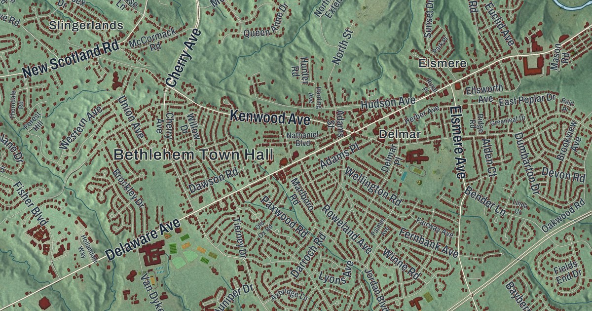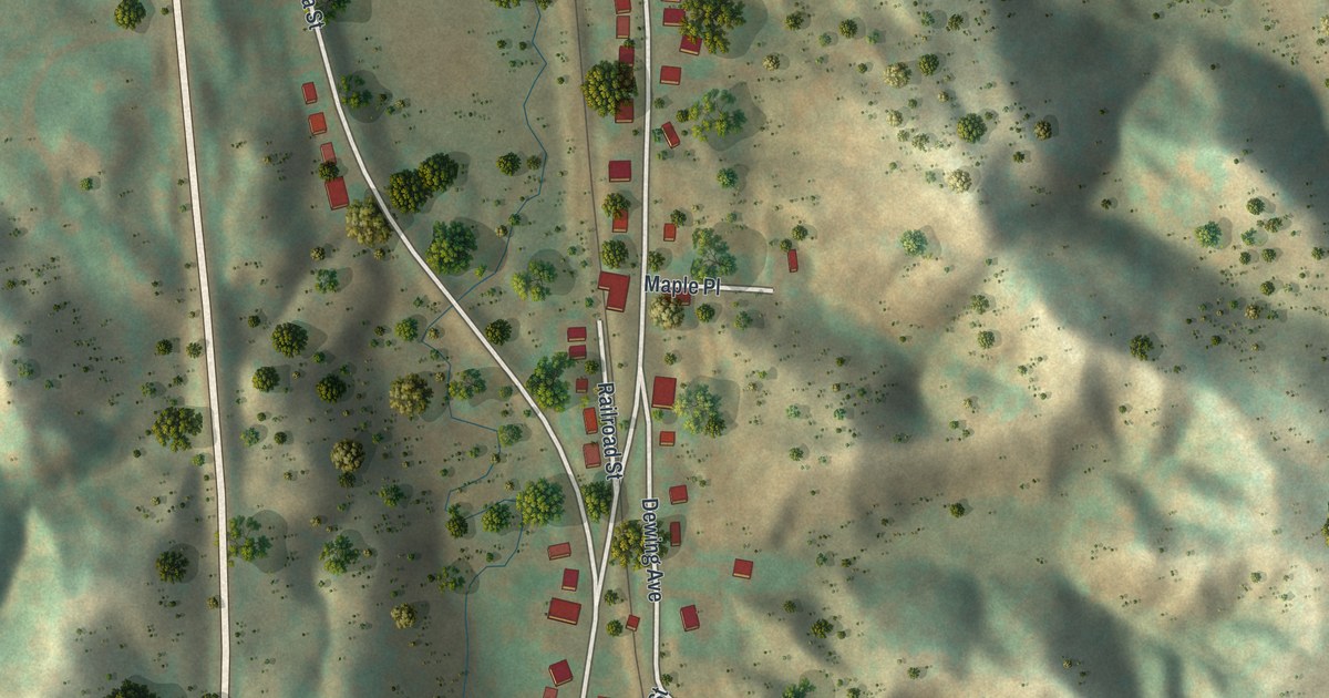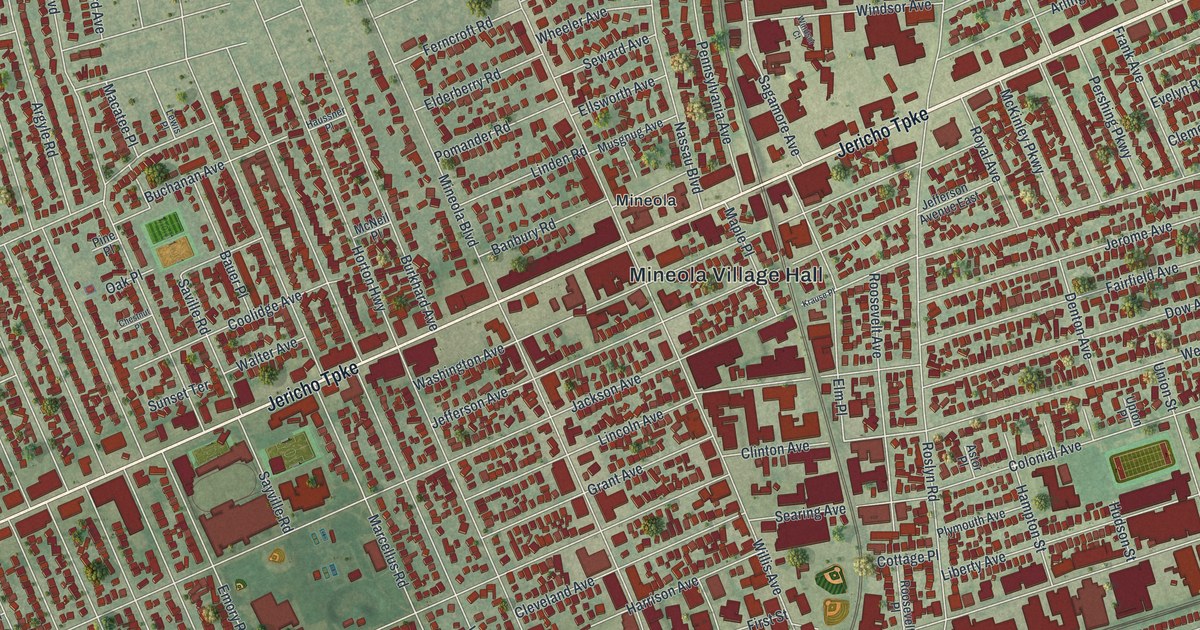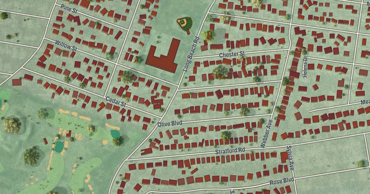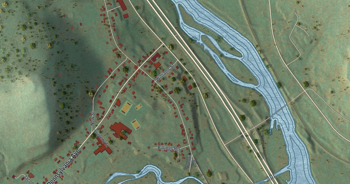
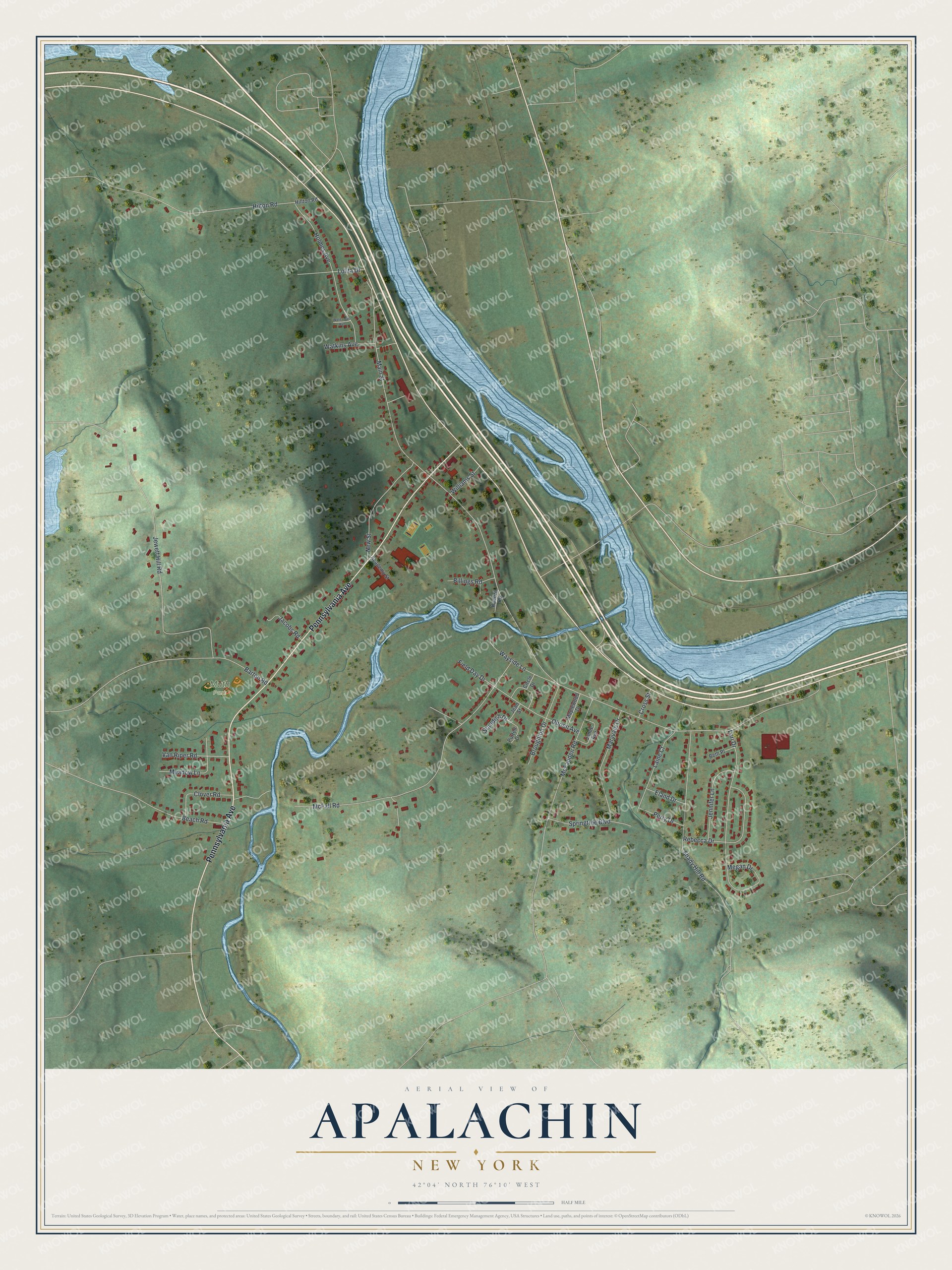
This beautifully detailed map of Apalachin, New York was created in 2026 using aerial imagery combined with modern topographical, census, street and landmark data. It's a modern aerial view of Apalachin in Tioga County, New York, that combines modern data with a vintage aesthetic. The roads feature printed names, and if you look closely you can find your exact house accurately shown in its correct location.
Explore an aerial view of Apalachin, New York
On this map you'll find Muth Park, Pennsylvania Avenue, Main Street, McFall Road, Jewett Hill Road, Shady Hill Road, Hilton Road, McFadden Road, Lori Drive, Holmes Avenue, Rebecca Drive, Maryvale Drive, and more. Each red shape is a building, so zoom in on the preview and look for yours.
Here is a piece of Apalachin history. Apalachin took its name from Apalacon, the township in Susquehanna County, Pennsylvania, where Apalachin Creek rises. The name is Native American in origin and is said to mean from whence the messenger returned. Isaac Harris of Rhode Island settled there first in 1786, and Apalachin was established in 1836. Apalachin's own include two Medal of Honor recipients, Isaac Catlin and Benjamin Franklin Tracy. Tracy, Secretary of the Navy under President Benjamin Harrison, is known as the Father of the Modern Navy. That's from the Town of Owego.
Apalachin is a community in Tioga County. The Census Bureau counted 2,632 people here in 2020. Apalachin sits about 2 miles southwest of Crest View Heights, 2 miles northwest of Tioga Terrace and 5 miles southwest of Endicott. The map prints the town name in its title panel, with the coordinates below it.
Take a closer look at the Apalachin map
Names on this map
These names are printed on this map.
Places: Muth Park.
Streets and roads: Pennsylvania Avenue, Main Street, McFall Road, Jewett Hill Road, Shady Hill Road, Hilton Road, McFadden Road, Lori Drive, Holmes Avenue, Rebecca Drive, Maryvale Drive, New Street.
More street names, A to Z
Academy Street, Barton Road, Beach Road, Beth Place, Billings Road, Broughton Drive, Circle Drive, Clover Road, Cross Street, Eland Drive, Field Day Drive, Hillton Road, Jacobs Road, Jamie Avenue, Jean Street, Jennifer Lane, Kuenzil Road, Laine Court, Lolita Drive, Maplewood Drive, Meadow Lane, Megan Drive, Obrien Avenue, Perry Drive, Purtell Drive, Springtree Boulevard, Standish Drive, Van Riper Road, Waterman Avenue, Watkins Avenue, Wayside Lane, Williams Street.
See it on a wall
The Apalachin map as a framed print. Swipe for more.


Created by KNOWOL in 2026. The buildings are small red shapes, the roads carry their printed names, and shaded relief shows the shape of the land. The title panel reads "AERIAL VIEW OF APALACHIN, NEW YORK" with 42°04' NORTH 76°10' WEST.
It suits a den, a classroom or a front hall, and it makes a gift for anyone with Apalachin roots. Open the preview and find the block you know. See sizes and frames for the Apalachin map.