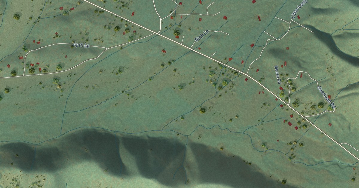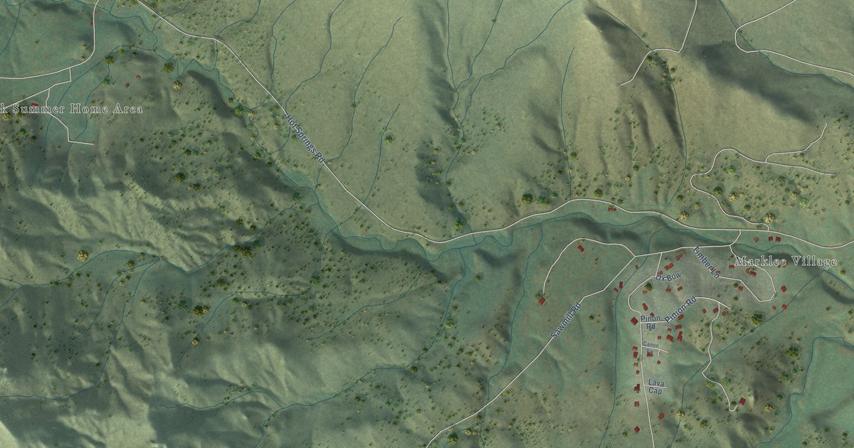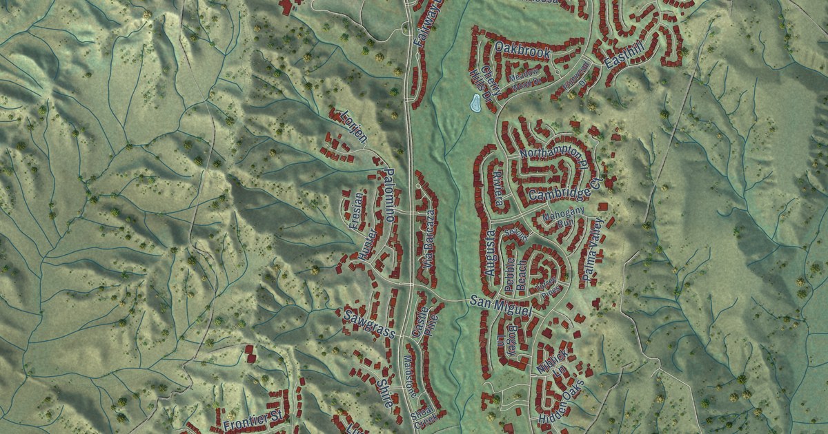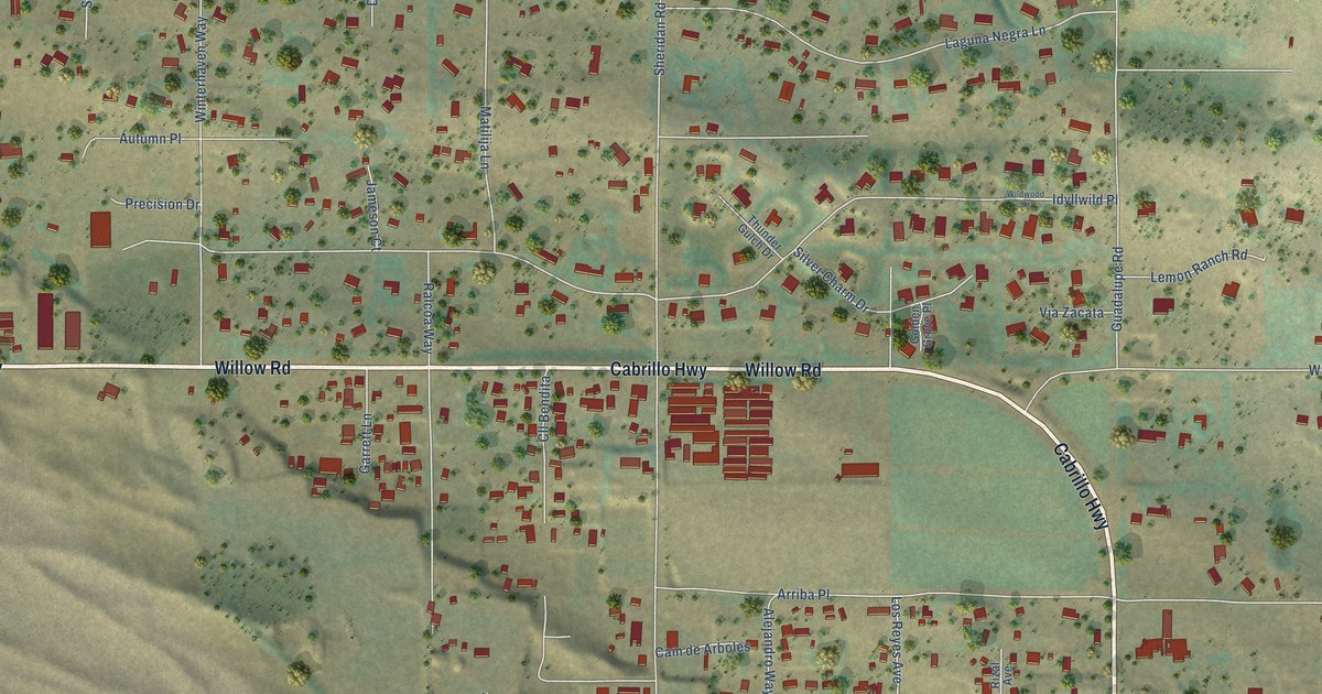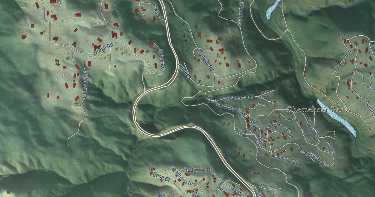
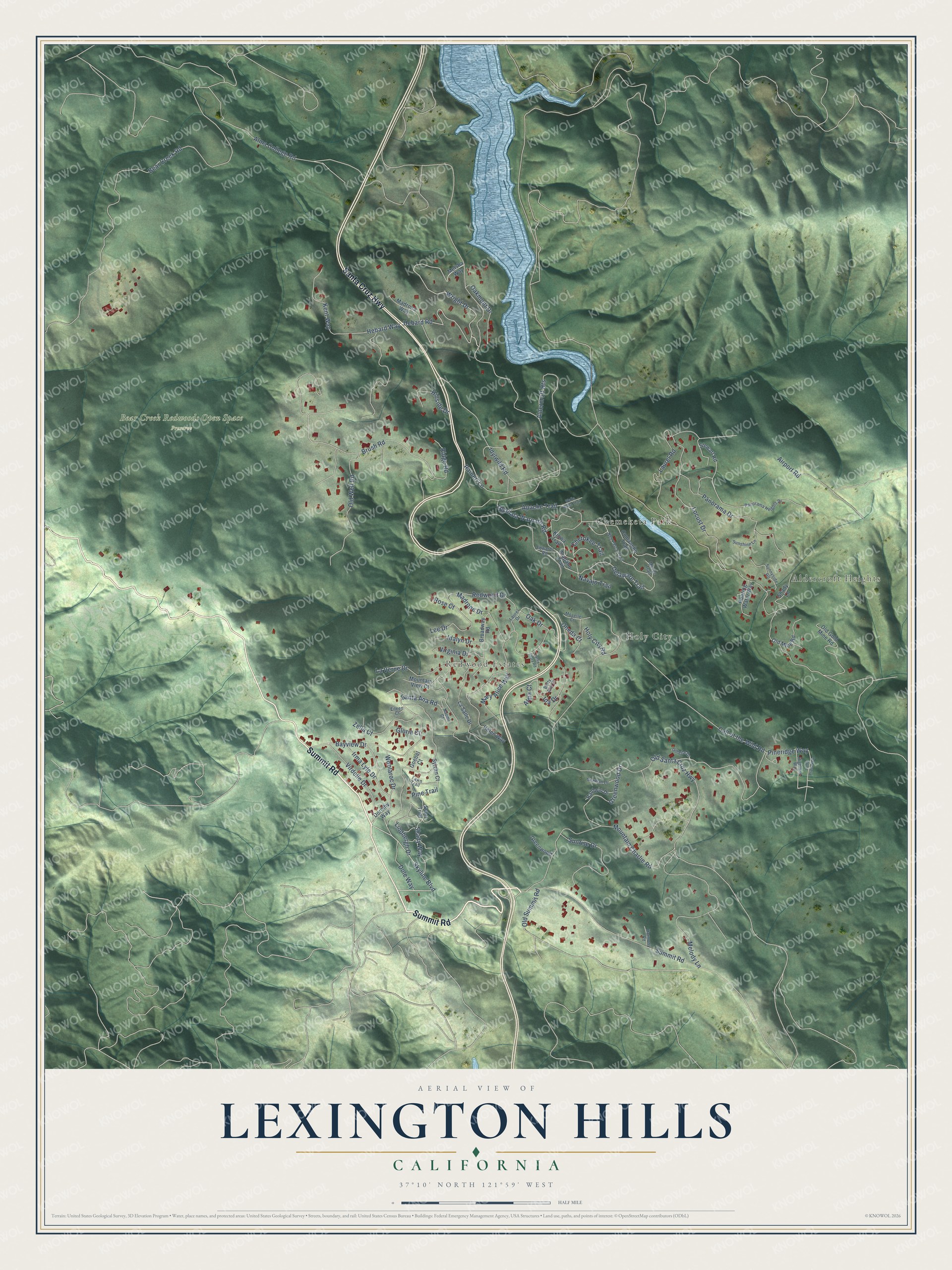
This beautifully detailed map of Lexington Hills, California was created in 2026 using aerial imagery combined with modern topographical, census, street and landmark data. It’s a one-of-a-kind view of Lexington Hills that combines accurate data with a vintage aesthetic. The map shows every building in its true location, many of the roads carry their names, and the shaded topographic relief shows the shape of the land.
Explore an aerial view of Lexington Hills, California
On the map you’ll find Aldercroft Heights, Holy City, Redwood Estates, Chemeketa Park, and Bear Creek Redwoods Open Space Preserve, along with Summit Road, Santa Cruz Highway, Skyline Boulevard, Old Santa Cruz Highway, Idylwild Road, Hebard Road, Wright Drive, and more. Lexington Hills sits about 5 miles northeast of Lompico, 5 miles south of Los Gatos and 6 miles northeast of Zayante. If you look closely you can even find your house accurately drawn in its correct location. Zoom in on the preview to look for yours.
Did You Know?
In November 1861, lumberjacks at a sawmill in Moody Gulch noticed large pools of oil floating in the creek, and a sprawling oil field soon grew up in and around the gulch. In 1878 the Pacific Coast Oil Company sank a highly profitable well there, and the last oil company in the gulch closed in 1938. The Big Moody Curve of Highway 17 takes its name from early settler D. B. Moody, who owned the land. That's from the Los Gatan newspaper.
Take a closer look at the Lexington Hills map
Names on this map
These names are printed on this map.
Places: Aldercroft Heights, Holy City, Redwood Estates, Chemeketa Park and Bear Creek Redwoods Open Space Preserve.
Streets and roads: Summit Road, Santa Cruz Highway, Skyline Boulevard, Old Santa Cruz Highway, Idylwild Road, Hebard Road, Wright Drive, Bayview Drive, Brush Road, Delaware Trail, Pine Trail, Hebard Way.
More street names, A to Z
Airport Road, Alma College Road, Alma Court, Apache Trail, Arapaho Trail, Baldwin Drive, Bear Creek Road, Betty Ann Court, Broadway Road, Call of the Wild Road, Cherokee Trail, Comanche Trail, Dole Way, Dorothy Way, Edwards Road, Eileen Court, Fawn Trail, Gillette Drive, Gloria Court, Goebel Court, Greenwood, Greenwood Drive, Harmony Road, Helen Way, Highland Way, Hillside Drive, Holy City Road, Ida Drive, Idalyn Drive, Irma Lyle Drive, Kent Way, Kiowa Trail, La Salle Drive, Laurel Drive, Laurel Road, La Verne Drive, Lee Drive, Lindbergh Drive, Locust Drive, Loma Prieta Way, Madrona Way, Madrone Drive, Mary Alice Way, Melody Lane, Melsha Way, Modoc Trail, Mountain Charlie Road, Mountain View Court, Mozelle Court, Naomi Court, Navajo Trail, Nez Perce Trail, Norman Drive, Oak Drive, Oakmont Drive, Ogallala Warpath Road, Old Gold Mine Road, Old Mine Road, Old Summit Road, Old Well Road, Oneda Court, Panorama Drive, Panorama Heights Drive, Pineridge Way, Raineri Lane, Redwood Drive, Ridge Road, Roaring Water Way, Rose Court, Santa Ana Road, Santa Clara Road, Scott Trail, Shady Lane, Shady Way, Stewart Road, Sunnyside Road, Sunrise Drive, Sunshine Lane, Sylvan Court, Virdelle Drive, Virginia Drive, Walla Walla Trail, Woolaroc Drive, Zella Court.
See it on a wall
The Lexington Hills map as a framed print. Swipe for more.


This beautifully detailed map of Lexington Hills makes an attractive addition to your office, library, or den, and it can even be used to teach children the geography and history of the area. It also makes a great gift for someone who left Lexington Hills and still calls it home. When you’re done exploring, click here to get your copy of the Lexington Hills map.