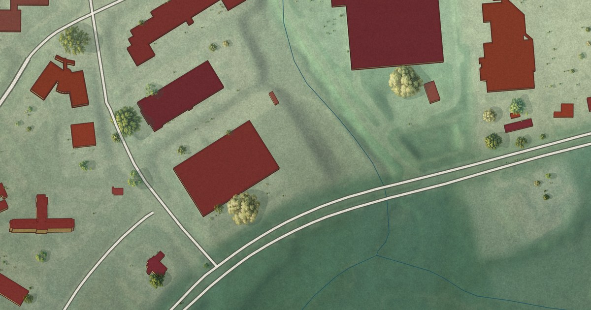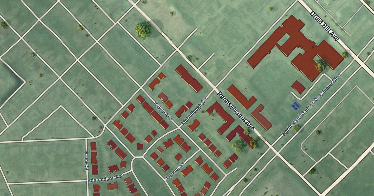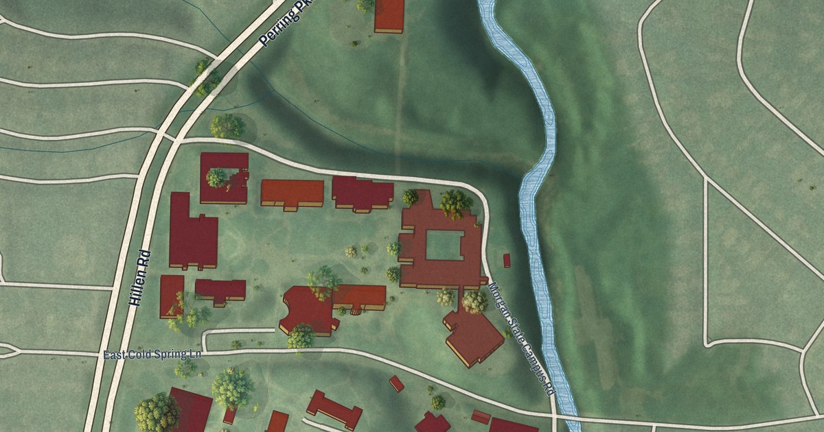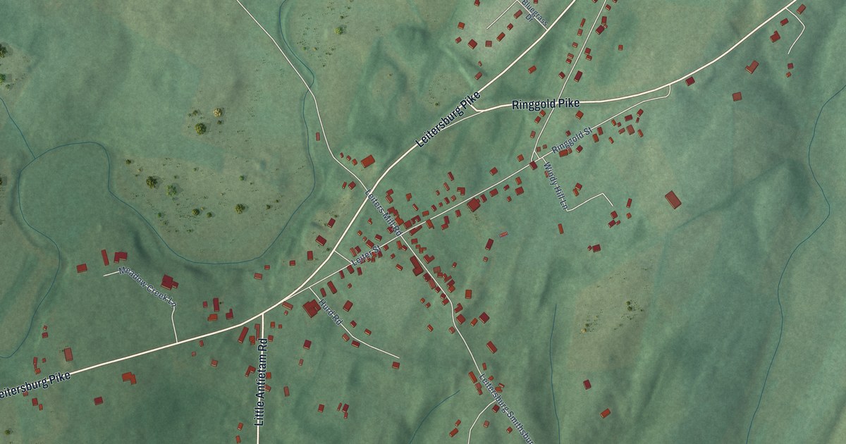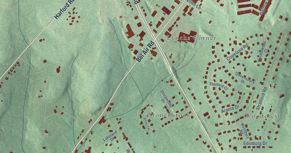
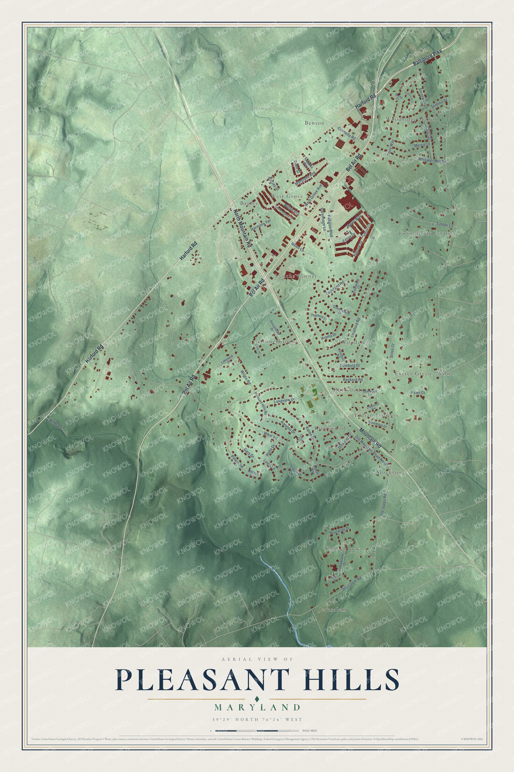
This beautifully detailed map of Pleasant Hills, Maryland was created in 2026 using aerial imagery combined with modern topographical, census, street and landmark data. It's a modern aerial view of Pleasant Hills in Harford County, Maryland, that combines modern data with a vintage aesthetic. The roads feature printed names, and if you look closely you can find your exact house accurately shown in its correct location.
Explore an aerial view of Pleasant Hills, Maryland
On this map you'll find Reckord Road Park, Woodridge Manor, Jerusalem, Bagley, Wilna, Twin Brook Estates, Valleybrook, West Grove, Benson, Stockton, Lynchs Corner, Woodcrest, and more. Each red shape is a building, so zoom in on the preview and look for yours.
Pleasant Hills is a community in Harford County. The Census Bureau counted 3,998 people here in 2020. Pleasant Hills sits about 3 miles northeast of Kingsville, 4 miles southeast of Fallston and 4 miles southwest of Bel Air. The map prints the town name in its title panel, with the coordinates below it.
Take a closer look at the Pleasant Hills map
Names on this map
These names are printed on this map.
Places: Reckord Road Park, Woodridge Manor, Jerusalem, Bagley, Wilna, Twin Brook Estates, Valleybrook, West Grove, Benson, Stockton, Lynchs Corner, Woodcrest, Stoneybrook, Indian Princess, Kingswood, Exeter Green and Dunwood.
Streets and roads: North Mountain Road, Baltimore Pike, Mountain Road, Bel Air Road, Harford Road, Old Mountain Road North, Fallston Boulevard, Milton Avenue, Old Joppa Road, Reckord Road, Whitt Road, Copeland Road.
More street names, A to Z
Arabella Way, Arama Drive, Bagley Street, Brockton Drive, Cainwood Court, Cheyenne Avenue, Connolly Road, Duke Street, Dunwood Lane, Edinburg Drive, Exton Drive, Fallston Meadow Court, Fawn Court, Fieldstone Court, Gary Drive, Gilwood Drive, Harmony Terrace, Harrow Drive, Jerusalem Road, Karen Drive, Karylou Circle, Karylou Drive, Lakeland Drive, Loloa Drive, Longview Drive, Louis Lane, Margrave Avenue, Merrie Lane, Mews Way, Miller Road, Monica Circle, Nilles Lane, Parsonage Lane, Petem Road, Pleasant Hills Road, Queensbury Drive, Rohe Drive, Rosemont Drive, Stiles Court, Stonewall Lane, Stoney Terrace, Stratford Road, Streamside Drive, Summit Drive, Surrey Court, Terry Way, Thetford Court, Timber Lane, Tobias Way, Tufton Circle, Valleybrook Court, Valleybrook Drive, Westbury Road, West Grove Avenue, Whitaker Mill Road, Wilgis Road, Woodridge Manor Road.
See it on a wall
The Pleasant Hills map as a framed print. Swipe for more.


Created by KNOWOL in 2026. The buildings are small red shapes, the roads carry their printed names, and shaded relief shows the shape of the land. The title panel reads "AERIAL VIEW OF PLEASANT HILLS, MARYLAND" with 39°29' NORTH 76°24' WEST.
It suits a den, a classroom or a front hall, and it makes a gift for anyone with Pleasant Hills roots. Open the preview and find the block you know. See sizes and frames for the Pleasant Hills map.