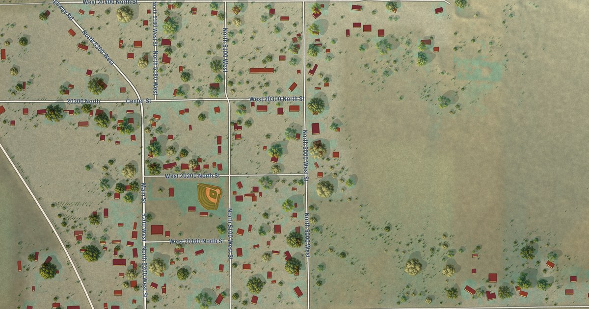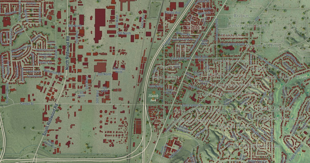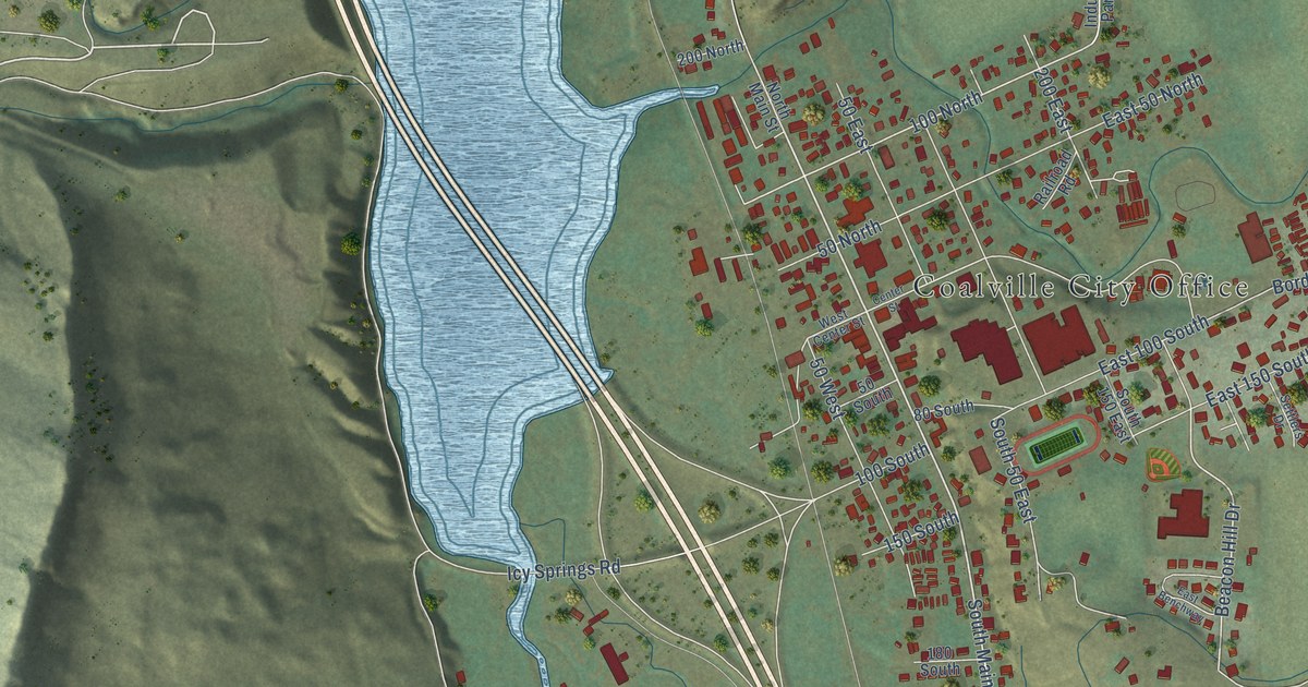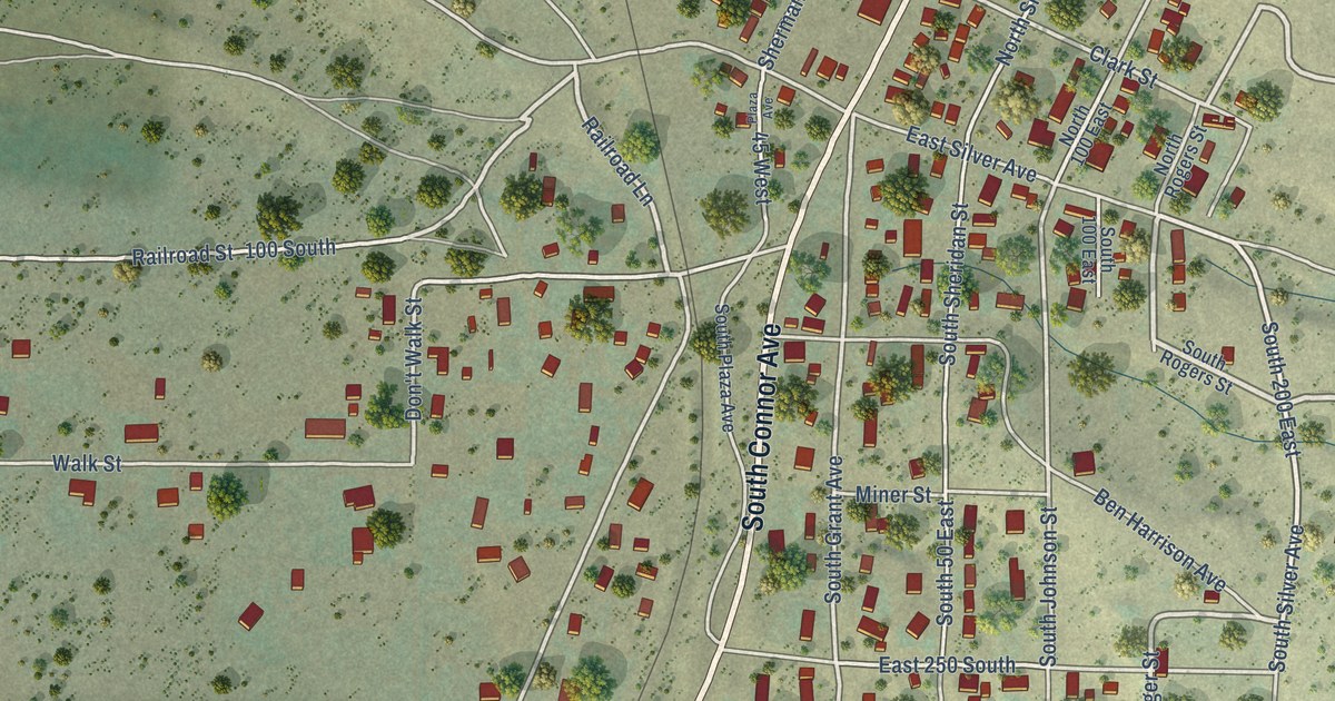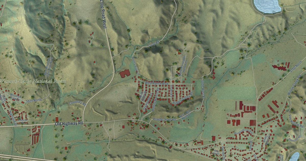
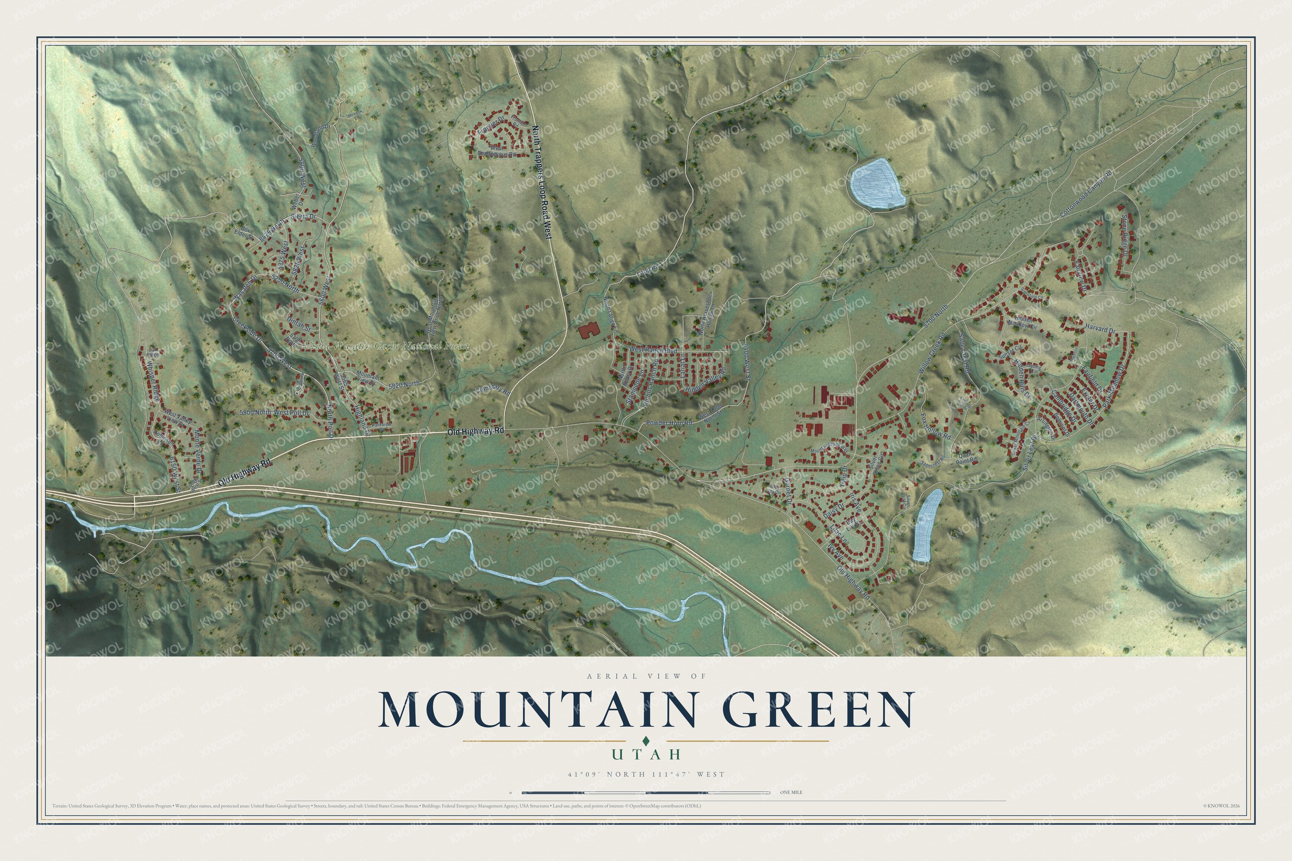
This beautifully detailed map of Mountain Green, Utah was created in 2026 using aerial imagery combined with modern topographical, census, street and landmark data. It's a modern aerial view of Mountain Green in Morgan County, Utah, that combines modern data with a vintage aesthetic. The roads feature printed names, and if you look closely you can find your exact house accurately shown in its correct location.
Explore an aerial view of Mountain Green, Utah
On this map you'll find Uinta-Wasatch-Cache National Forest, Old Highway Road, North Trappers Loop Road West, 5700 West, 5600 West, Creekside Drive, 6250 North, 5820 North, Park Meadow Drive, Willow Creek Road, Sierra Drive, 6475 North, and more. Each red shape is a building, so zoom in on the preview and look for yours.
Mountain Green is a community in Morgan County. The Census Bureau counted 4,231 people here in 2020. Mountain Green sits about 4 miles northwest of Enterprise, 8 miles east of Uintah and 8 miles south of Huntsville. The map prints the town name in its title panel, with the coordinates below it.
Take a closer look at the Mountain Green map
Names on this map
These names are printed on this map.
Places: Uinta-Wasatch-Cache National Forest.
Streets and roads: Old Highway Road, North Trappers Loop Road West, 5700 West, 5600 West, Creekside Drive, 6250 North, 5820 North, Park Meadow Drive, Willow Creek Road, Sierra Drive, 6475 North, Harvard Drive.
More street names, A to Z
4400 West Street, 5565 West Street, 5700 North, 5800 West, 5825 West, 5875 West, 5900 North, 6100 North, 6100 West Street, 6150 West Street, Arlington Drive, Belmont Drive, Blue Jay Circle, Box Elder Street, Cambridge Drive, Cemetary Road, Cottonwood Canyon Road, Daisy Drive, Dartmouth Drive, Day Lily Drive, Evening Star Drive, Exeter Drive, Fairfield Drive, Fairview Drive, Fox Hollow Road, Frontier Drive, Frontier Road, Garnet Drive, Greenfield Circle, Hidden Hills Drive, Hidden Meadow Circle, Hidden Valley Road, Highland Drive, Iris Avenue, Ivy Avenue, Lariat Lane, Lilac Lane, Loop Road, Majestic Way, Meadow Circle, Monte Verde Drive, Mountainbrook Way, Mountain View Drive, North Horseshoe Hollow Lane, North Latigo Lane, North Poll Drive, North Roper Drive, Oak Ridge, Parkview Drive, Powder Horn Road, Quail Point Road, Riverview Circle, Robinson Lane, Rollins Ranch Road, Sage Crest Road, Sagecrest Road, Silver Leaf Circle, Silver Leaf Drive, Silver Mountain Cv, Silver Stone Circle, Spring Circle, Stampede Lane, Stone Ridge Drive, Sunset Circle, Tulip Drive, Uintah Street, Wasatch Drive, Weber Drive, West 5800 North Street, West Mountain View Drive North, West Poll Drive, West Ranch Boulevard, West Rendezvous Road, West Valley View Drive, Whisper Ridge, Woodland Drive.
See it on a wall
The Mountain Green map as a framed print. Swipe for more.


Created by KNOWOL in 2026. The buildings are small red shapes, the roads carry their printed names, and shaded relief shows the shape of the land. The title panel reads "AERIAL VIEW OF MOUNTAIN GREEN, UTAH" with 41°09' NORTH 111°47' WEST.
It looks right in a kitchen, an office or a den, and it's a gift for anyone who grew up in Mountain Green or moved away. Open the preview and find your street. See sizes and frames for the Mountain Green map.