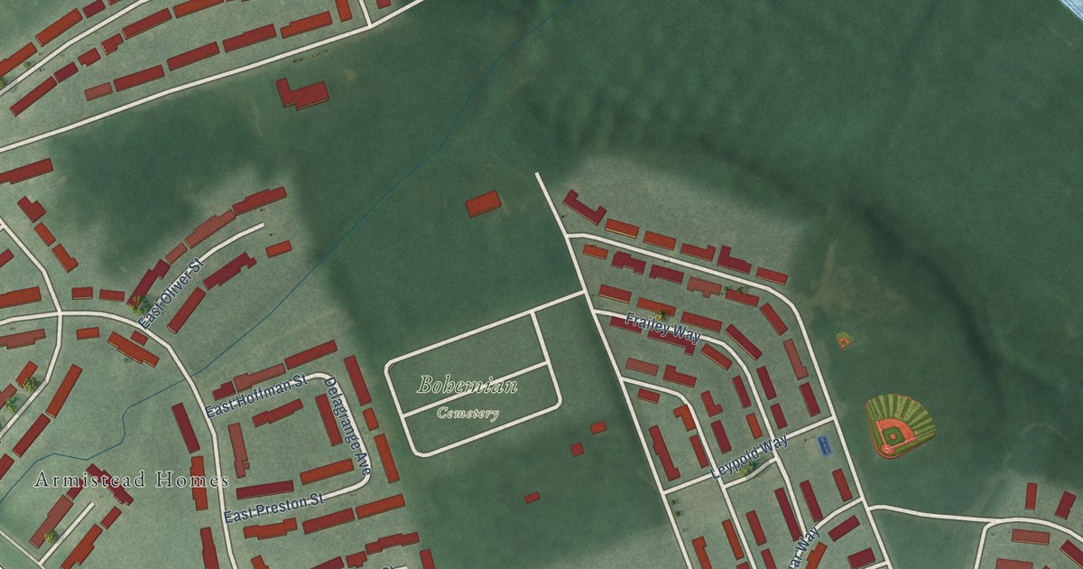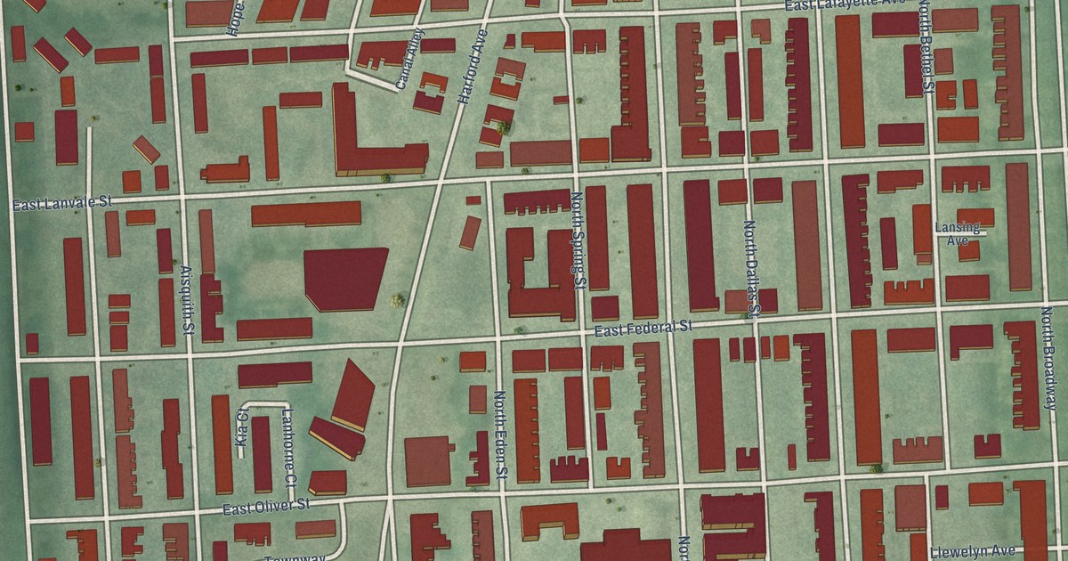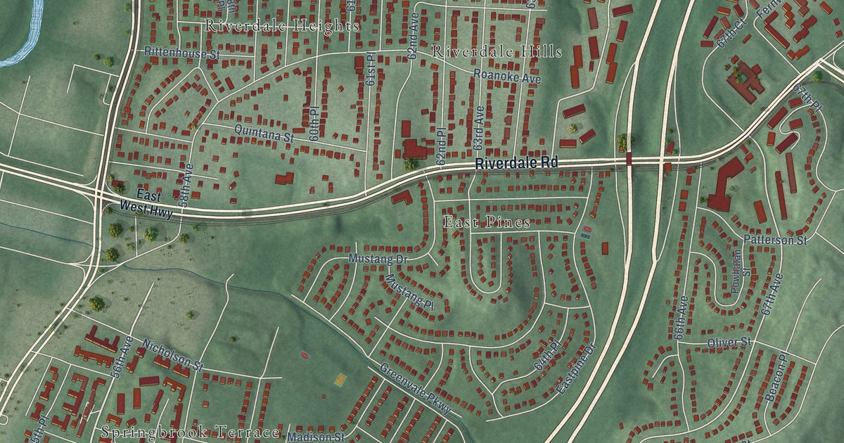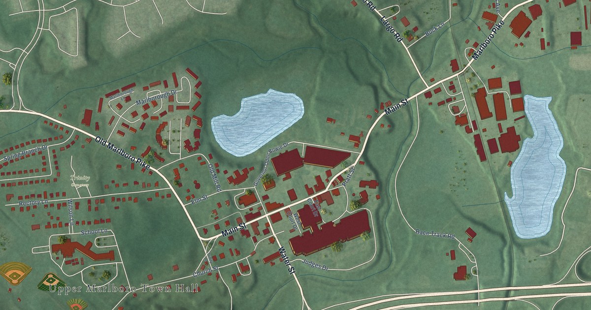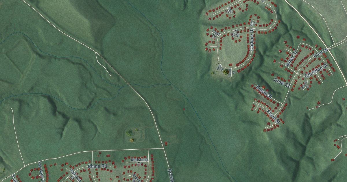
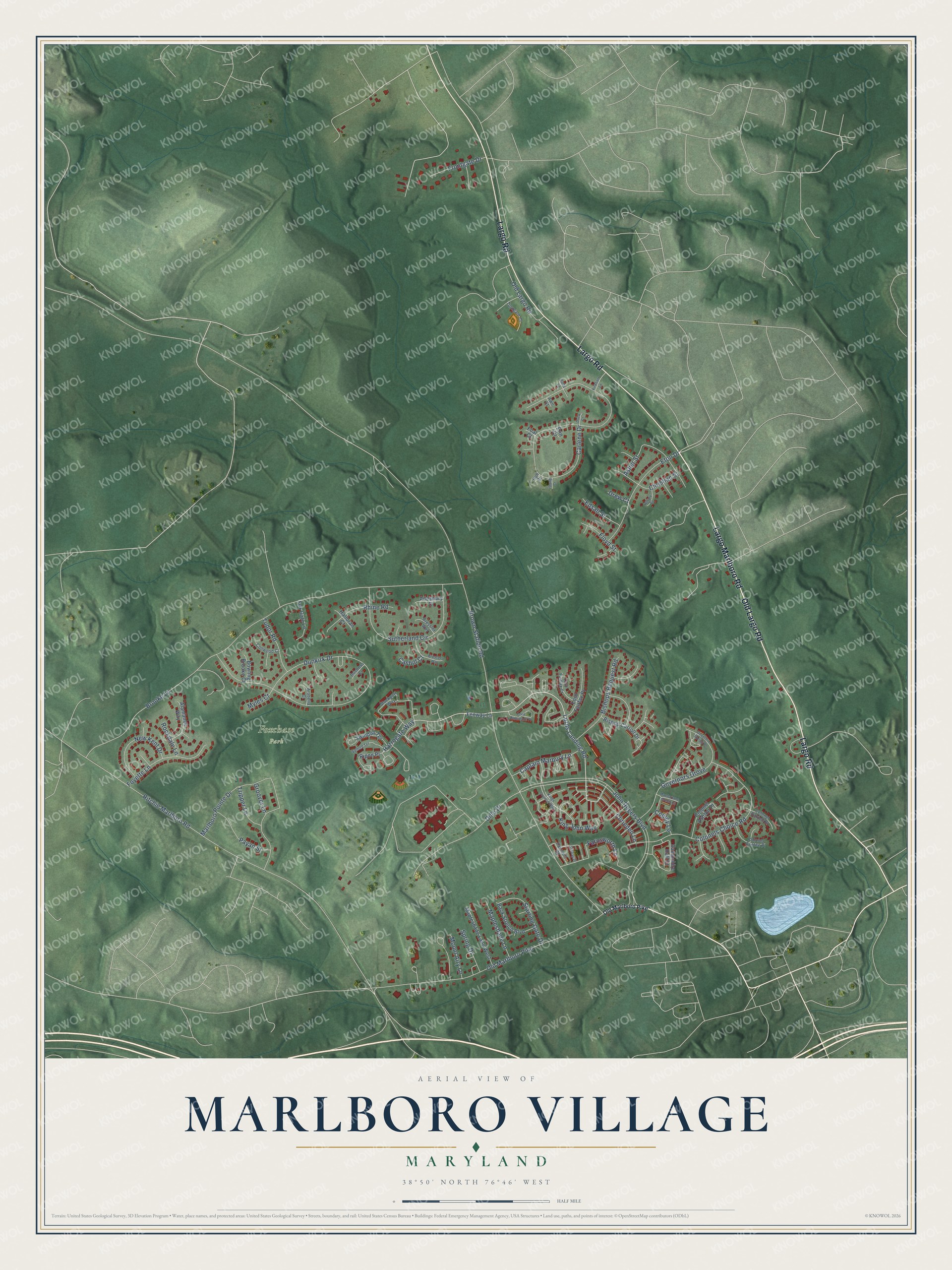
This beautifully detailed map of Marlboro Village, Maryland was created in 2026 using aerial imagery combined with modern topographical, census, street and landmark data. It's a modern aerial view of Marlboro Village in Prince George's County, Maryland, that combines modern data with a vintage aesthetic. The roads feature printed names, and if you look closely you can find your exact house accurately shown in its correct location.
Explore an aerial view of Marlboro Village, Maryland
On this map you'll find Foxchase Park, Largo Marlboro Road, Old Largo Road, Largo Road, Lords Landing Road, Harrogate Way, Governors Grove, Brown Station Road, John Rogers Boulevard, Brooke Lane, Ritchie Marlboro Road, Carlene Drive, and more. Each red shape is a building, so zoom in on the preview and look for yours.
Every town has a first chapter, and Marlboro Village is no exception. Soon after the Civil War, the Black community on the southwest edge of Upper Marlboro built a Methodist church, and within a year it formed the Colored Free School Society to raise money for a school. With lumber from a Baltimore association and help from the Freedmen's Bureau, the first schoolhouse opened on church land on April 1, 1868. The second schoolhouse, built in 1877 on an acre next to the church, taught the community's children for more than half a century. That's from the Maryland Historical Trust.
Marlboro Village is a community in Prince George's County. The Census Bureau counted 9,221 people here in 2020.
Take a closer look at the Marlboro Village map
Names on this map
These names are printed on this map.
Places: Foxchase Park.
Streets and roads: Largo Marlboro Road, Old Largo Road, Largo Road, Lords Landing Road, Harrogate Way, Governors Grove, Brown Station Road, John Rogers Boulevard, Brooke Lane, Ritchie Marlboro Road, Carlene Drive, Dunkirk Drive.
More street names, A to Z
Ailesbury Court, Alamance Way, Arabella Court, Asher Street, Awn Court, Back Stretch Boulevard, Bishop Carroll Drive, Bishops Bequest Road, Bowling Brooke Court, Bressler Way, Brussels Way, Butte Lane, Captain Marbury Lane, Cashill Court, Christian Street, Clirieden Lane, Colonel Ashton Place, Colonel Contee Place, Colonel Darnell Place, Colonels Choice Road, Conwood Court, Copley Lane, Dille Drive, Drew Court, Duchess Court, Duck Court, Edsall Street, Erin Court, Eton Drive, Farnsworth Lane, Fenway Lane, Floyd Street, Foal Court, Fox Gate Lane, Foyette Lane, Frontgate Drive, Governor Sprigg Place, Groover Lane, Halloran Court, Hampshire Hall Court, Harcourt Road, Hillary Court, Hub Court, Island Court, King John Way, Kings Council Way, Kirkham Lane, Lord Baltimore Place, Lord Fairfax Court, Lord Fairfax Place, Macfarlane Green Court, Mapleshade Lane, Mapleshade Lane West, Marlboro Pointe Drive, Mount Airy Lane, Myles Court, New Kent Drive, Old Marlboro Pike, Payan Street, Rhine Road, Ripon Place, Rockdale Lane, Salford Terrace, Spring Drive, Starting Gate Drive, Stockport Way, Sutherland Circle, Swindon Terrace, Torbay Place, Tripper Lane, Tudor Road, Turngate Court.
See it on a wall
The Marlboro Village map as a framed print. Swipe for more.


Created by KNOWOL in 2026. The buildings are small red shapes, the roads carry their printed names, and shaded relief shows the shape of the land. The title panel reads "AERIAL VIEW OF MARLBORO VILLAGE, MARYLAND" with 38°50' NORTH 76°46' WEST.
Hang it in the hallway, the office or the cabin, or give it to someone who left Marlboro Village and still calls it home. Open the preview and look for a street you know. See sizes and frames for the Marlboro Village map.