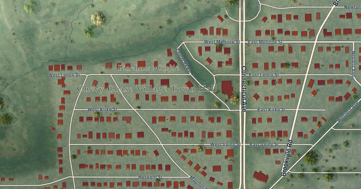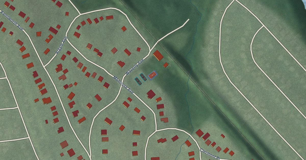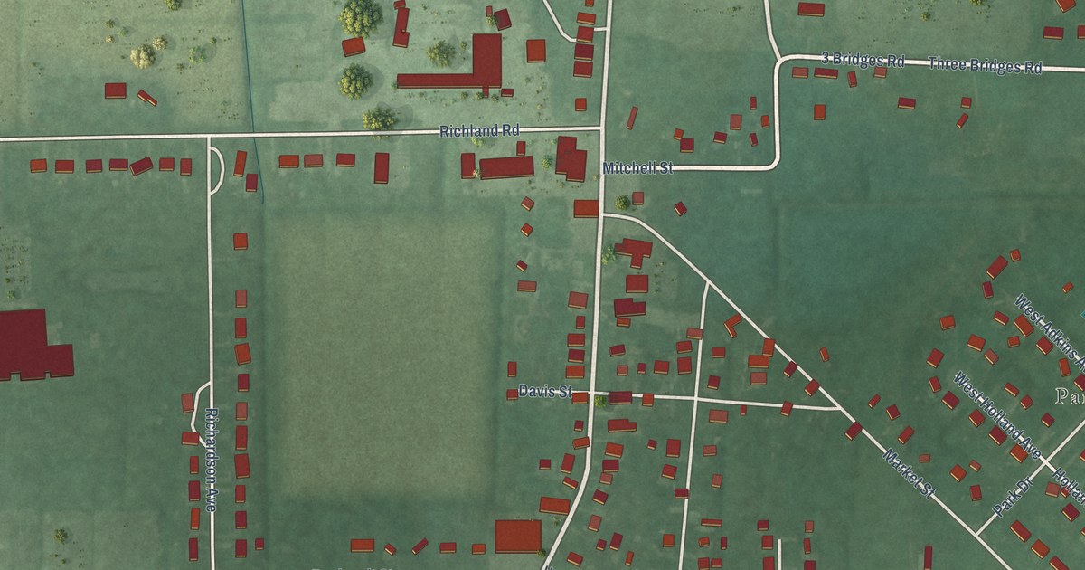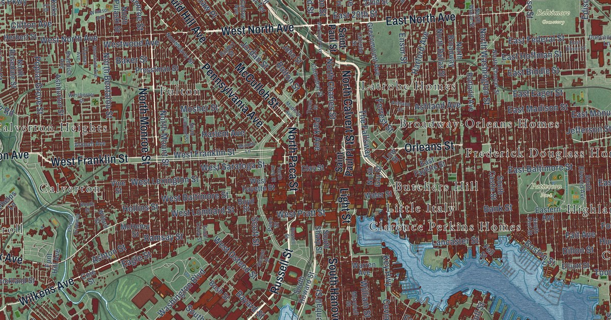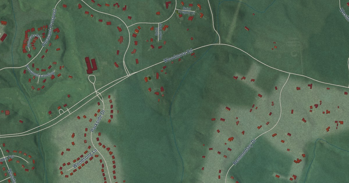
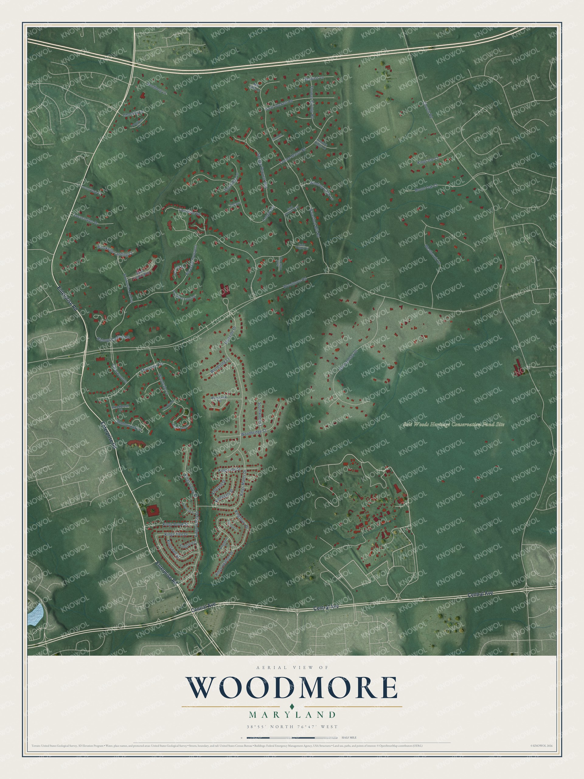
This beautifully detailed map of Woodmore, Maryland was created in 2026 using aerial imagery combined with modern topographical, census, street and landmark data. It’s a one-of-a-kind view of Woodmore that combines accurate data with a vintage aesthetic. The map shows every building in its true location, many of the roads carry their names, and the shaded topographic relief shows the shape of the land.
Explore an aerial view of Woodmore, Maryland
On the map you’ll find Belt Woods Heritage Conservation Fund Site and Pleasant Prospect, along with Enterprise Road, Central Avenue, Courtside Road, Kings Valley Drive, Woodmore Road, Woodvale Lane, Shadowrock Lane, Clearwood Drive, Church Road, Waterford Mill Road, and more. Woodmore sits about 2 miles southeast of Mitchellville, 2 miles south of Fairwood and 2 miles north of Kettering. If you look closely you can even find your house accurately drawn in its correct location. Zoom in on the preview to look for yours.
Take a closer look at the Woodmore map
Names on this map
These names are printed on this map.
Places: Belt Woods Heritage Conservation Fund Site.
Streets and roads: Enterprise Road, Central Avenue, Courtside Road, Kings Valley Drive, Woodmore Road, Pleasant Prospect, Woodvale Lane, Shadowrock Lane, Clearwood Drive, Church Road, Waterford Mill Road, Spriggs Request Way.
More street names, A to Z
Bermondsey Drive, Bishops Content Road, Brookeville Landing, Brookville Landing Court, Chantilly Lane, Contee Manor Road, Gristmill Lane, Hunters Ridge Lane, Isaac Duckett Road, Kings Arrow Street, Kingsbrook Street, Kingsbury Drive, Kingsdale Court, Kingsford Court, Kingsgate Street, Kings Heather Drive, Kingshill Street, Kings Isle Court, Kings Manor Drive, Kingstead Court, Kings Tree Drive, Kings Valley Street, Kingsview Street, Kingswell Street, Locust Dale Court, Locust Glen Drive, Longwater, Mill Side Lane, Mount Oak Court, Parkside Drive, Progress Lane, Prospect Landing, Saint Edmund Way, Saint Francis Way, Saint Gregory Court, Saint Regis Way, Shadystone Terrace, Shortridge Lane, Sondberg Lane, Southwood Court, Thomas Springs Road, Trelawn, Walkers Lane, Westbrook Lane, Winding Creek Lane, Woodbridge Court, Woodbrook Court, Woodlake Road, Woodshade Court, Woodsong Lane, Woodwalk Terrace, Woodwind Lane.
See it on a wall
The Woodmore map as a framed print. Swipe for more.


This beautifully detailed map of Woodmore makes an attractive addition to your office, library, or den, and it can even be used to teach children the geography and history of the area. It also makes a great gift for someone who left Woodmore and still calls it home. When you’re done exploring, click here to get your copy of the Woodmore map.