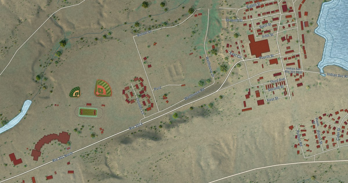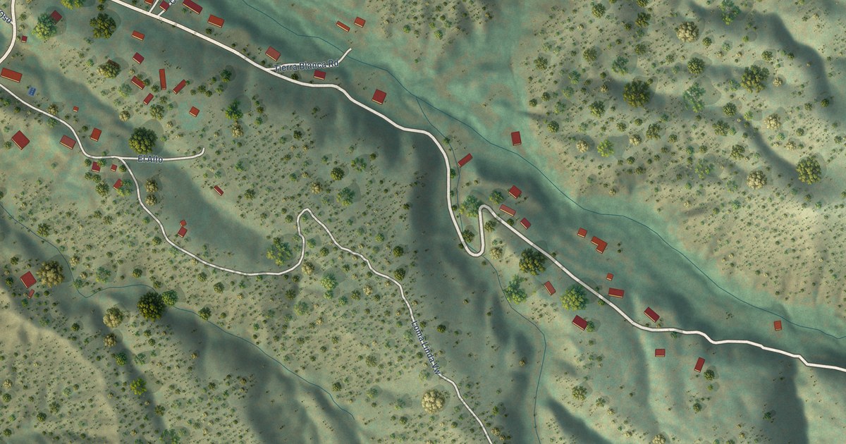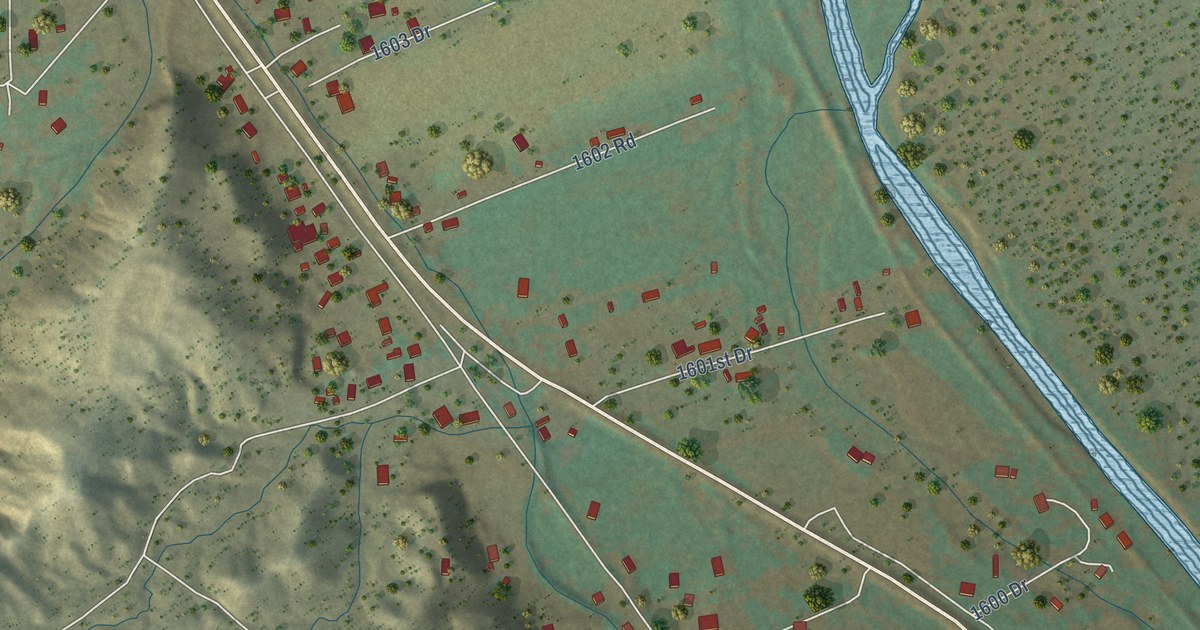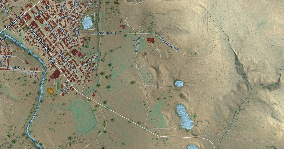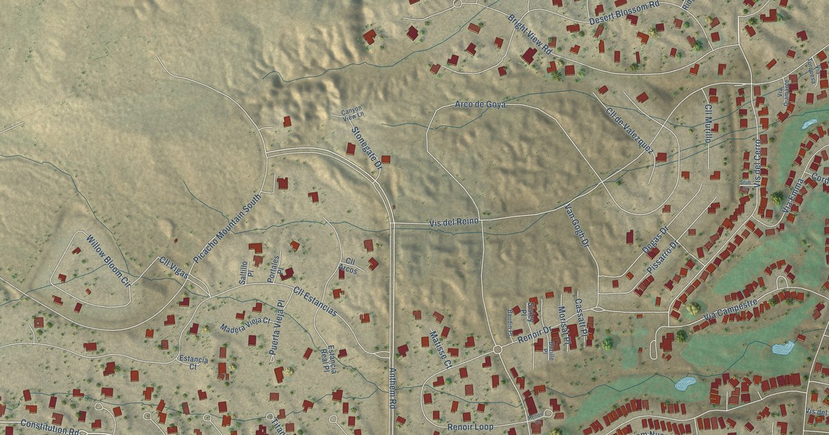
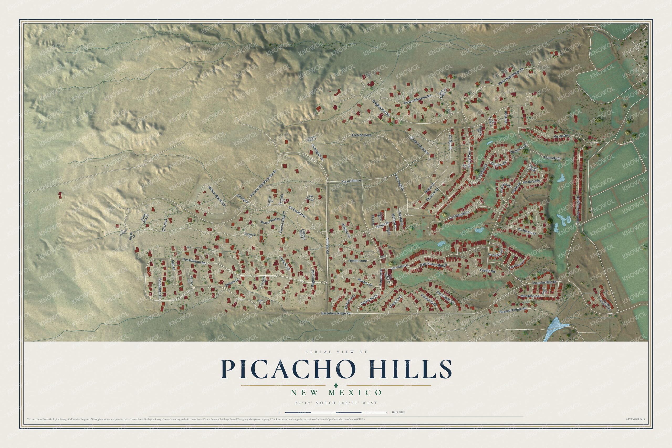
This beautifully detailed map of Picacho Hills, New Mexico was created in 2026 using aerial imagery combined with modern topographical, census, street and landmark data. It's a modern aerial view of Picacho Hills in Doña Ana County, New Mexico, that combines modern data with a vintage aesthetic. The roads feature printed names, and if you look closely you can find your exact house accurately shown in its correct location.
Explore an aerial view of Picacho Hills, New Mexico
On this map you'll find Constitution Road, Anthem Road, Vis del Cerro, Via Campestre, Tuscany Drive, Fairway Village Drive, Catalonia Court, Vis del Reino, Las Casitas, Plazuela Court, Renoir Drive, Barcelona Ridge Road, and more. Each red shape is a building, so zoom in on the preview and look for yours.
Picacho Hills is a community in Doña Ana County. The Census Bureau counted 1,864 people here in 2020. Picacho Hills sits about 3 miles west of Fairacres, 5 miles southwest of San Ysidro and 5 miles northwest of Mesilla. The map prints the town name in its title panel, with the coordinates below it.
Take a closer look at the Picacho Hills map
Names on this map
These names are printed on this map.
Streets and roads: Constitution Road, Anthem Road, Vis del Cerro, Via Campestre, Tuscany Drive, Fairway Village Drive, Catalonia Court, Vis del Reino, Las Casitas, Plazuela Court, Renoir Drive, Barcelona Ridge Road.
More street names, A to Z
Academy Court, Arco de Goya, Baudin Place, Bazille Place, Bright View Road, Butterfield Ridge Drive, Cam Blanco, Cam Nuevo Mejico, Cantabria Court, Canyon View Lane, Cassatt Place, Castile Court, Cii Lajas, City Lights Place, Cll Arcos, Cll de Valezquez, Cll Estancias, Cll Murillo, Cll Ventanas, Cll Vigas, Contana Court, Cordova Circle, Deer Ridge Court, Degas Drive, Desert Blossom Road, Estancia Court, Estancia Real Place, Goldeneye Court, Idyll Court, Island Court, Madera Vieja Court, Matisse Court, Mira Montes, Morisat Place, Murano Court, Nicho Court, Picacho Hills Drive, Picacho Mountain South, Pissarro Drive, Portales Place, Pueblo Gardens Court, Pueblo Vis, Puerta Vieja Place, Regency Court, Renoir Court, Renoir Loop, Saltillo Place, San Savino Court, Saragossa Court, Sisley Place, Sonnet Court, Spanish Pointe Road, Stonegate Drive, Stub Street, Techo Alto Court, Titania Court, Van Gogh Drive, Verona Court, Via Diamante, Via Emma, Via Emma Drive, Via Norte, Via Rubi, Via Turquesa, Villa Chiquita, Vis del Monte, Vis del Valle, Vis de Oro, Vis de Volle, Vis Hermosa, Willow Bloom Circle.
See it on a wall
The Picacho Hills map as a framed print. Swipe for more.


Created by KNOWOL in 2026. The buildings are small red shapes, the roads carry their printed names, and shaded relief shows the shape of the land. The title panel reads "AERIAL VIEW OF PICACHO HILLS, NEW MEXICO" with 32°19' NORTH 106°53' WEST.
It suits a den, a classroom or a front hall, and it makes a gift for anyone with Picacho Hills roots. Open the preview and find the block you know. See sizes and frames for the Picacho Hills map.